-
 4018 Hits
-
 71.06% Score
-
 1 Votes
|
|
Trailhead |
|---|---|
|
|
45.76638°N / 114.39111°W |
|
|
Ravalli |
|
|
Spring, Summer, Fall |
|
|
5730 ft / 1747 m |
Provides Access to Mt Jerusalem
From Hwy 93 (south of Darby, MT) take Montana Hwy 473 (West Fork Road) west for 14.3 miles to the junction with Nez Perce Road (468).
Follow the Nez Perce Road for about 7.6 miles.
Veer right (west) onto Flat Creek Road (FR 5637).
Follow the road as it switches back and forth for 3.6 miles to a locked gate beyond which no vehicle traffic is allowed.
The trailhead is unmarked with parking for several vehicles and an easy turnaround.
The undefined route to the Mt Jerusalem begins by proceeding east-northeast up toward the easily-visible ridgeline.
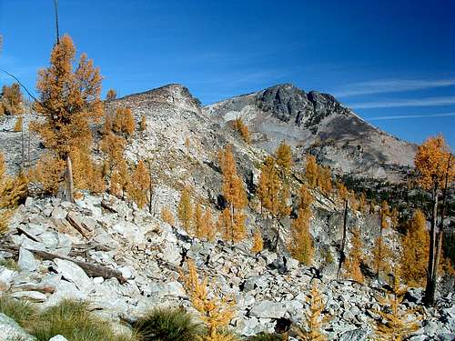
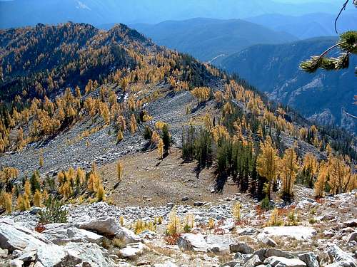
For information about the climbers' route accessed from this trailhead, see the link included in the picture's description.
 |
|---|


