-
 10553 Hits
-
 71.06% Score
-
 1 Votes
|
|
Trailhead |
|---|---|
|
|
46.04117°N / 114.26561°W |
|
|
Ravalli |
|
|
Spring, Summer, Fall, Winter |
|
|
5171 ft / 1576 m |
Climbers’ Access for Como Peaks and El Capitan
On US Highway 93 go about 12 miles south of Hamilton and turn right (west) onto Lake Como Road. Follow the road to a junction and turn left (south) toward the boat loading area just past the dammed end of Lake Como.Shortly after the road turns to gravel, you should see a sign for FR 550 and the Little Rock Creek Trailhead. Follow FR 550 for approximately 3.5 miles (south and west) and a second road junction.
Take the slightly rough, single-lane road straight ahead (west, don't turn south) and follow it the short distance to the marked trailhead just before a sometimes-locked Forest Service gate.
There are parking spots for several vehicles but no restroom facilities.
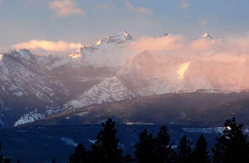
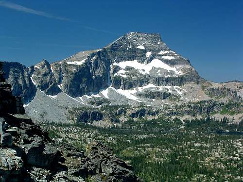
For information about the two climbers' routes accessed by the Little Rock Trail, see the respective links included in each picture's description.
|
|
|---|


