-
 13105 Hits
-
 71.06% Score
-
 1 Votes
|
|
Trailhead |
|---|---|
|
|
46.53037°N / 114.14453°W |
|
|
Ravalli |
|
|
Spring, Summer, Fall, Winter |
|
|
3560 ft / 1085 m |
Climbers' Access for the Heavenly Twins and the Bass Creek Crags
From Florence, MT, drive south on US 93 for about 8 miles and turn right (west) onto North Kootenai Road.
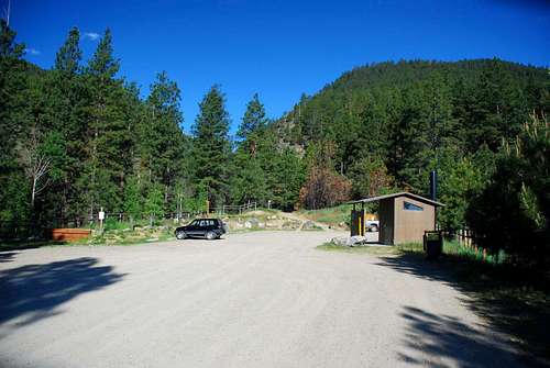
Continue on this road for about 2 miles to the parking area at the end of the road.
There is ample parking for at least 2 dozen vehicles.
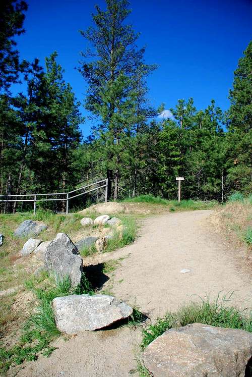
Besides providing access to several summits, the Kootenay Creek Trail gives access to many popular climbing walls. Several of those walls only take 15 minutes of walking to reach.
This creek has an interesting history of names. According to the "John Owens Donation Claim Survey" by Delacy in 1863, it was named Lyons Creek. In 1864 it was called Mill Creek. In 1872 it was Kootenoy Creek, and in 1879 Lion Creek. How the current name of Kootenai Creek came to be is anyone's guess.
For information about the climbers' routes accessed from this trailhead, see the links included in the pictures' descriptions.
 |
|---|


