

|
|
Mountain/Rock |
|---|---|
|
|
40.08250°N / 105.6214°W |
|
|
12466 ft / 3800 m |
|
|
Indian Peaks Overview
The Colorado Indian Peaks Wilderness is home to many of the best hiking and climbing routes in the state. All 73,391 acres of The Indian Peak Wilderness rests just south of Rocky Mountain National Park; it's basically an extension of its neighboring national park. As Gerry Roach notes in his popular book "It's smaller than Rocky Mountain National Park but no less spectacular." This impressive collection of jagged peaks is home to 35 named peaks and 23 of are over 12,000 ft., and seven are over 13,000 ft. From easy walk-ups to technical 5.5 climbing this mountaineering playground has something for everybody. Most trailheads are only 2 hours from Denver Co., thus the area is a popular destination for the day hikers. Conversely, all those day hikers are left behind with a couple miles of hiking; so experiencing solitude can be had for those willing to work for it.
 |  |  |  |
Little Pawnee Peak Overview
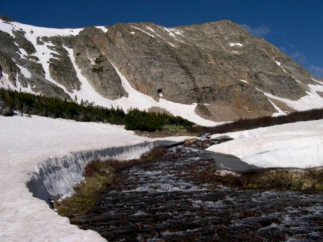
For those of us familiar with the Brainard Lake area, we know of two obvious drainages that allow access to the immediate area mountains. The Lake Isabelle Drainage is accessed by the Long Lake-TH (10,500-ft), and provides standard routes to spectacular mountains like Navajo Peak, Apache Peak and Shoshoni Peak. The Blue Lakes Drainage is accessed by the Mitchell Lake-TH (10,500-ft), and provides standard routes for Mount Audubon, Mount Toll and Paiute Peak. Each drainage is beautiful to look at from wherever you are; thus the popularity of Brainard Lake. For some of us, viewing both drainages and every surrounding mountain could potentially be the best view in the Brainard Lake area! Thus I submit Little Pawnee Peak to Summitpost.org.
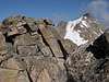
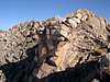
Little Pawnee Peak (12,466-ft) resides within the Brainard Lake Recreational Area in the Indian Peak Wilderness. This unfrequented summit rests quietly on a rough ridge extending east from Pawnee Peak. Suspended directly in between its higher and more popular neighbors, the lonely summit of Little Pawnee Peak deserves some consideration for those looking for quick, easy/fun class 3 climb complete with an excellent view.
From the Long Lake TH, the standard RT-East Ridge Route is only 6 miles and 1,970-ft. A perfect loop route is available to those whom enjoy newness throughout the day. I recommend attaining the east ridge of Little Pawnee Peak via an ascent of the south slopes from the Lake Isabelle Drainage and a descent of the north slopes into the Blue Lakes Drainage. This loop variation really makes sense considering The Long Lake TH is only a quarter mile from the Mitchell Lakes TH. The RT-data for this route is only 8 miles and 2,100-ft.
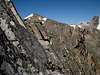
The East Ridge Route of Little Pawnee Peak is not for the casual day hiker. This is not a hike; it is a climb: albeit an easy climb with some minor exposure on semi-stable talus. Closer to the summit there is a nice notch in the ridge which requires a series of solid class 3 moves to climb in and out of.
 |  |  |  |
Long Lake-TH
To reach the Brainard Lake Road from the north follow Colorado 72 or the Peak to Peak Highway, south for 10.2 miles from the junction with highway 7. For the southern approach, go north 12 miles from Colorado 72 in Nederland to the town of Ward, the Brainard Lake Road is just north of here. Turn west on Brainard Lake Road and go 5 miles on paved road to Brainard Lake. Follow the Long Lake Trailhead signs another .5 mile to a large parking area. Don’t be surprised to see hundreds of cars in the area; this is one popular place for Front Range visitors. When you arrive at or before 6:00 a.m., you can avoid most or all of the traffic. There is a $7.00 fee to enter this recreation area.
Regional Weather/Mountain Conditions
Click image to enlarge

The Brainard Lake Recreation Area is closed from mid October to mid June every season. It is approximatly a 5 mile drive from the gate closure to the trailheads during this stretch of closure. Usually by early April the snow has melted off the paved road leading to the trailheads. You can easily ride a bike to the TH, many people do.
Camping
For a list of every public campground on the Peak to Peak highway, click here
Red Tape
Here is a summery of the Indian Peak Wilderness Rules and Regulations.