-
 12539 Hits
-
 71.06% Score
-
 1 Votes
|
|
Trailhead |
|---|---|
|
|
46.74704°N / 114.21334°W |
|
|
Ravalli |
|
|
Spring, Summer, Fall, Winter |
|
|
3614 ft / 1102 m |
Access to Lolo Peaks
Drive west on Hwy 12 from the town of Lolo, MT, for 6.4 miles then turn left (south) onto Mill Creek Road.
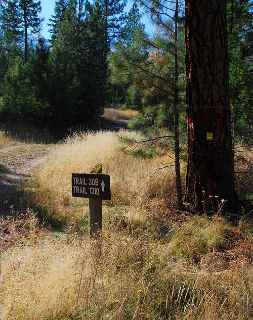
Continue on the good gravel road through the residential area for a little over .5 mile to a some-times locked gate on the left side of the road and the Mill Creek Trailhead. (Actually this is the end of the road, though it appears the road continues straight ahead. It doesn’t, that’s a driveway.)
There is no officially designated parking area, but there is room for a few vehicles along the side of the road. Just be careful not to block the road.
For information about the climbers' route accessed from this trailhead, see the link included in the following picture's description.
 |
|---|


