
-
 17208 Hits
-
 87.31% Score
-
 24 Votes
|
|
Mountain/Rock |
|---|---|
|
|
37.93665°N / 119.29343°W |
|
|
Tuolumne |
|
|
Hiking, Scrambling, Skiing |
|
|
Spring, Summer, Winter |
|
|
12002 ft / 3658 m |
|
|
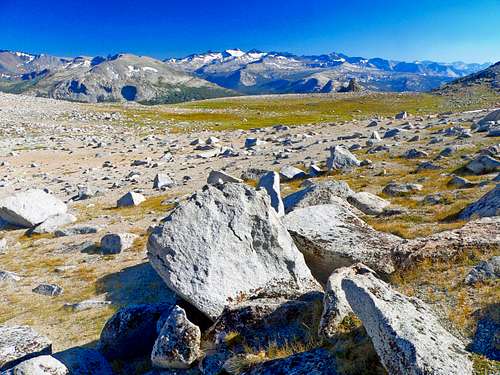
Overview
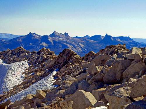
Cathedral Range from False White Mtn.
This one is a day hike easily accessible from Tioga Pass. The east and south slopes are class 2 and are good ski runs. The west slope looks to be at least class 3. The summit has sweeping views of the Yosemite high country especially to the east and south.
Getting There
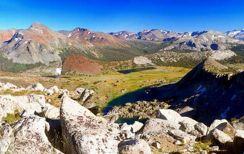
South from Sierra crest above Gaylor Lakes
SOUTH SLOPE FROM TIOGA LAKE: Instead of appoaching from Tioga Pass via Gaylor Lakes, take the class 2 slope across the road from Tioga Lake to the crest.
EAST SLOPE FROM LEE VINING CREEK: From the junction of Hwy. 395 take Hwy. 120 10 miles west up the the Saddlebag Lake Road. Go up the road a tenth mile and then left to the campground. Cross Lee Vining Creek and hike following it northwest to Shell Lake at .75 miles. Break off west up class 2 slopes to the east slope of "False White Mountain". The summit is 1.5 miles west of Shell Lake.
Red Tape
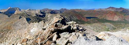
North pano from False White
Camping
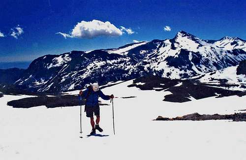
Ascending False White
THE NORTHWEST JUNCTION OF HWY. 120 AND THE SADDLEBAG LAKE ROAD: at 9,600'
ELLERY LAKE: 2.3 miles north of Tioga Pass at 9,500'
TIOGA LAKE:1.5 miles north of the pass at 9,500'
There are also BIG BEND, ASPEN and several other campgrounds in Lee Vining Canyon starting at 2 miles in from 395 off Hwy. 120.
South to Mt. Lyell
hgrapid - Oct 4, 2009 4:51 pm - Hasn't voted
Before you get too farJust opened up SP and saw you put this in the wrong hemisphere. 119.17000°E is off. Should be -119.17
Noondueler - Oct 4, 2009 8:00 pm - Hasn't voted
Re: Before you get too farToo many 00s.