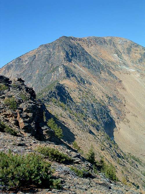
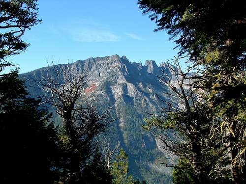
Climbers' Access to St Joseph Peak, Bass Creek Crags, & Bass Peak
From US 93 turn west onto Bass Creek Road which is about 4 miles south of Florence, MT.
Go about 2.5 miles to Charles Waters Memorial Campground. Go through
(or past) the campground to where the pavement ends west end of the campground and the Bass Creek Trailhead.
Bass Creek is named for D. C. Bass, who settled on the creek in 1864. He built the first irrigation ditch in Montana and operated on of the first two sawmills in the state. The mill was on Kootenai Creek (once named Mill Creek). The lake was named for the creek and was dammed in 1898.External Links
For information about the climbers' routes accessed from this trailhead, see the links included in the pictures' descriptions.
 11066 Hits
 71.06% Score
 1 Votes


