


-
 42564 Hits
-
 95.35% Score
-
 52 Votes
|
|
Area/Range |
|---|---|
|
|
45.41629°N / 25.46906°E |
|
|
Hiking, Mountaineering, Trad Climbing, Sport Climbing, Toprope, Bouldering, Ice Climbing, Aid Climbing, Big Wall, Mixed, Scrambling, Skiing |
|
|
Spring, Summer, Fall, Winter |
|
|
8248 ft / 2514 m |
|
|
Overview
|
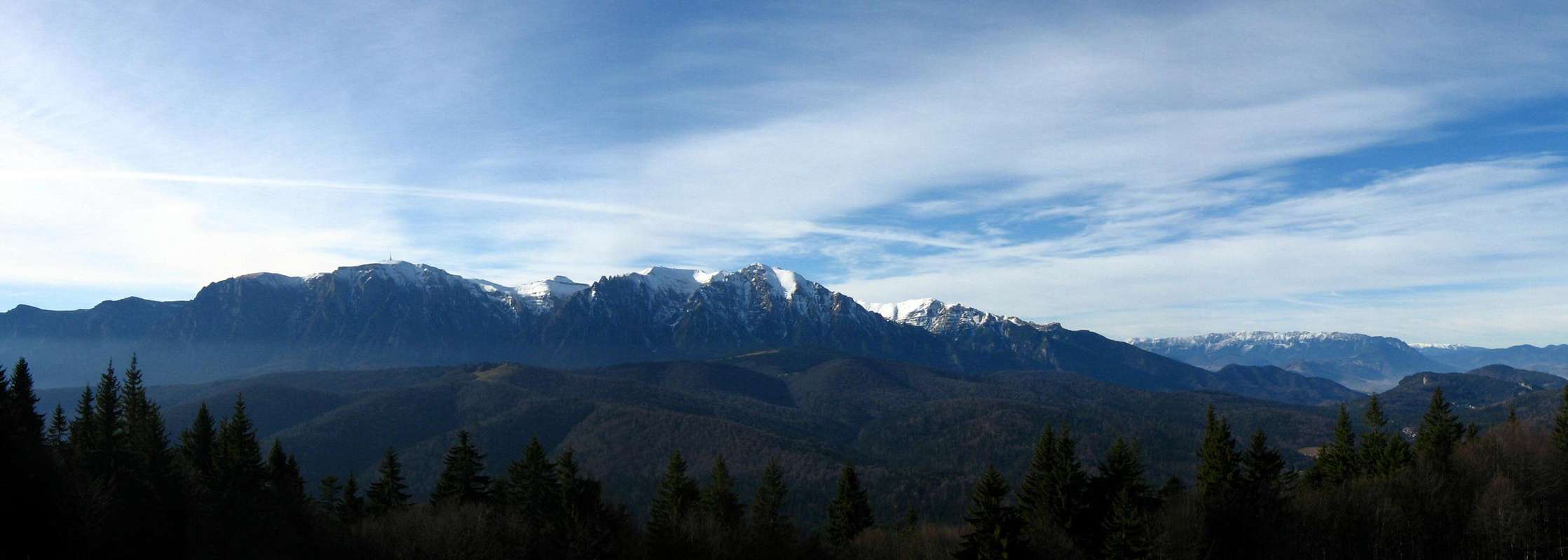
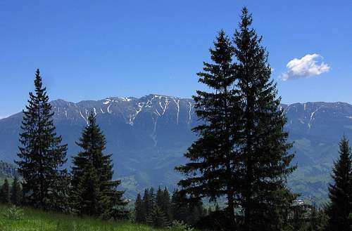
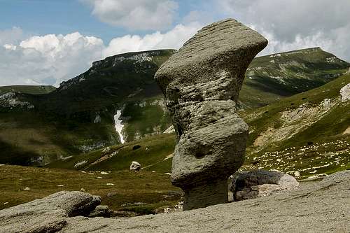
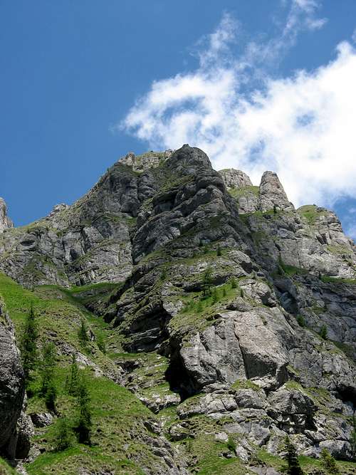
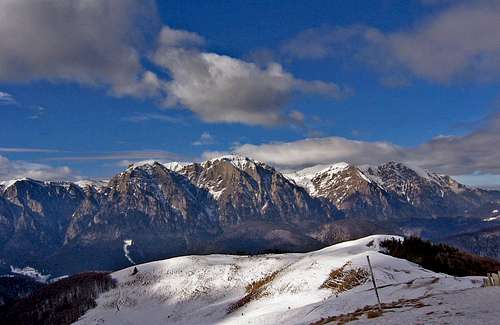
The Bucegi Mountains (Bucsecs in Hungarian, Butschetsch in German) with an area of more than 300 square kilometres, mark the border between the East and South Carpathians. They are usually regarded as the easternmost range of the South Carpathians. However, this page's parent page has included the Bucegi in the Eastern Carpathians, emphasizing their geologic make-up. The basement of the Bucegi is of crystalline schists, but these are covered by sedimentary rocks from the Jurassic and Cretacious periods, namely limestone (especially in the east) and the characteristic Bucegi conglomerates and gritstone resembling the material some of the most spectacular ranges in the East Carpathians - the Ciucaş and Ceahlău - are formed of.
The most obvious of the geographic borders of the Bucegi is the east one, formed by the over 1.5km deep valley of the River Prahova, which carries the road and railway linking Romania's capital city Bucharest with the city of Braşov. (East of the Prahova sit the Baiului (Gârbova) Mountains.) The valley runs closest to the dramatically rearing Bucegi between the resort towns of Buşteni and Sinaia. Further to both north and south the huge cliffs angle away from the Prahova making way for lower mountain ranges, which can be regarded as the foothills of the Bucegi, namely the Diham (1579m) in the north and the Gurguiatul (1337m) mountains in the south.
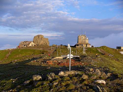
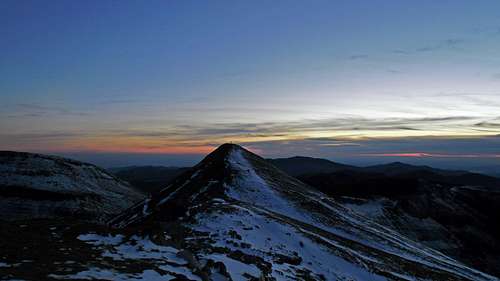
The north end of the Bucegi is at approximately the same latitude as the town of Bran, famed for Dracula, and the resort town of Predeal. The western boundary of the Bucegi runs more or less north to south between Bran and the village of Dobreşti on the River Ialomița. To the west of its northern section lies the Bran-Rucăr corridor, beyond which rises the Piatra Craiului range, whereas west of its southern stretch, beyond the Brătei River, extend the Leaota Mountains. While the east and north edges of the Bucegi proper are so sharp and vertical, and their west face is also quite impressive, the inside - especially in ithe east and north - resembles an undulating plateau rather than a bunch of ridges and valleys. It leans south and is drained by the Ialomița, which has its source south of the Bucegi's highest mountain Omu at 2514m. (This is the elevation of the top of the huge block of rock that sits on the very summit adjoined by the Omu Hut at 2505m. The traditionally given value 2505m seems to be the elevation of the hut.) The edges of the upper Ialomița's drainage basin form a horseshoe, whose arms are 7 to 8 km apart and form the two longest ridges in the Bucegi. The midpoint of the horseshoe is in the north at the rocks of Găvanele, which mark the south end of the massif of Omu. 
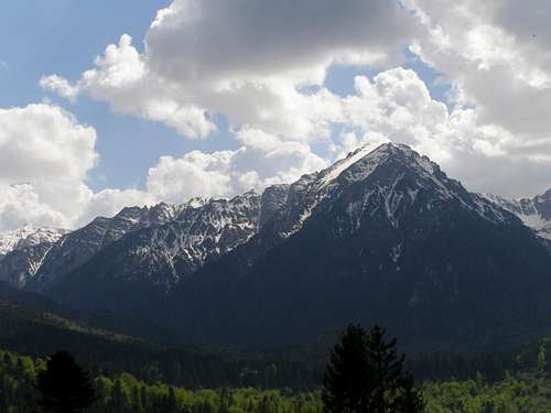
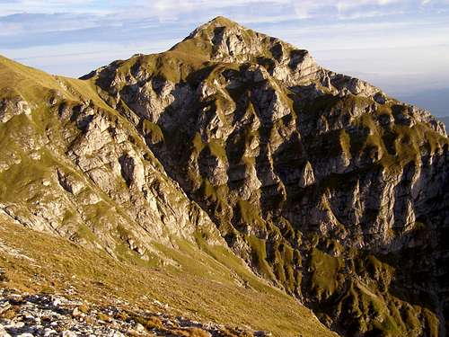
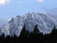
Despite attracting a great many tourists, Omu is not the prettiest of the highest peaks in these mountains. A far more handsome summit, with steep slopes on each side, is Bucşoiu at 2492m, located on the ridge that Omu sends to the north. Bucşoiu is – depending how you count – Bucegi’s second or third highest summit. Three hundred metres southwest of Omu at 2503m sits Bucura Dumbravă, formerly known as Ocolit, but this tiny pyramid with little prominence can be considered a subsidiary summit of Omu. Talking of the highest peaks, just two metres lower than Bucşoiu is Coştila at 2490m, whose western side is very gentle and which has a telecommunications mast on its top, but which has imposing walls on the other side and will be the rock climber’s favourite. 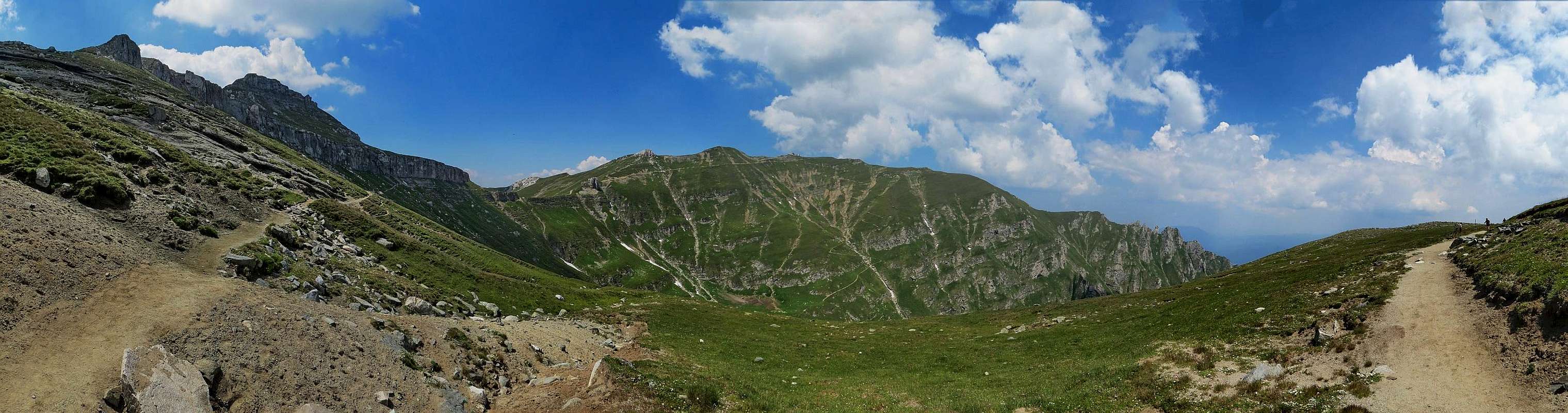
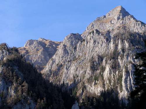
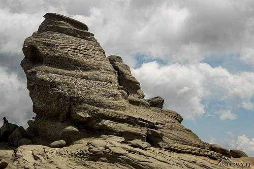
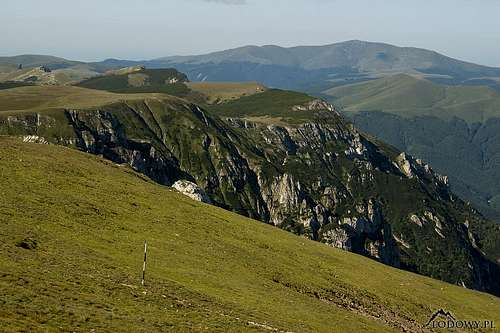
Apart from being the highest, Omu is the Bucegi's focal mountain constituting a hub where five important ridges meet, two of which have been just mentioned. There is no doubt that the east ridge is the main ridge of the mountains (whereas where to locate the main ridge beyond Omu is a matter of opinion). The east ridge, being the edge of the huge Bucegi cliff, runs southeast from Găvanele to the cuesta of Colţul Obârşiei (2480m), after which it gets closer to the Prahova Valley at the summits of Coştila and Caraiman (2384m, the Heroes' Cross), where it turns south passing Jepii Mici (2143m), Jepii Mari (2075m), Piatra Arsă (2044m), Furnica (2103m), Vârful cu Dor (2030m), Vânturis (1942m) and Dichiu (1713m) to finally end near the village of Moroieni. The length of the east ridge is around 24 km. Less than two kilometres southwest of Caraiman sit the Bucegi's most famous rock formations - Babele (Old Women) and Sfinxul.
The west ridge, often referred to as the Strunga Ridge, within its NE-SW stretch west of Găvanele rises to over 2400m at the peaks of Doamnele. It turns south at Guţanul (2246m) and runs over Batrâna (2181m), Colţii Ţapului (2168m), Strungile Mari (2089m), Şaua Strunga (1909m, saddle), Strungile Mici (1968m), Tătarul (1998m), Deleanu (1904m), Lucăcila (1895m) and Lespezi (1686m). The ridge is about 18km long. total length of Strunga Ridge is about 18km. At Strungile Mici the Bucşa Ridge (1848m) branches off and runs west to connect with the Leaota massif. 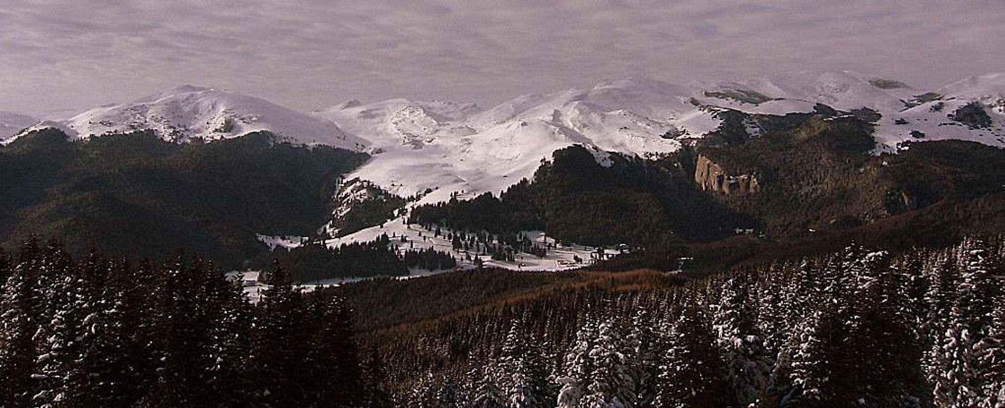
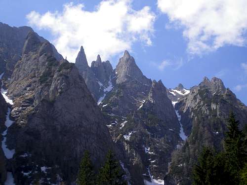
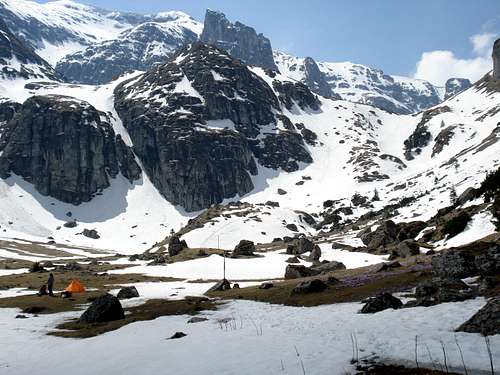
The other three ridges sprouting from Omu, along with their side ridges and adjacent valleys, create the most spectacular chunk of the Bucegi, which boasts proper, pretty narrow and jagged, occasionally toothy crests, as well as deep valleys featuring post-glacial scenery, the only missing element of alpine landscape being tarns (unless the tiny Lacul Țigănești counts). Of the three ridges the most spectacular is Creasta Morarului (Miller's Ridge), which stretches east from Omu and before dropping to the Prahova Valley features Acele Morarului, i.e. Moraru Needles (from east to west: Colţul de sus, Acul Crucii, Degetul Roşu and Acul Mare). To the north from Omu runs the Bucşoiu Ridge and to the west a ridge to Scara (2422m). Both ridges carry waymarked trails. Scara sends a long ridge north, to the north end of the Bucegi Mountains. This ridge is called Ţigăneşti (Gypsy's) and has interesting rock formations.
It would be hard to decide which of the great valleys in this most magnificent corner of the Bucegi is the most beautiful, but among those nominated for the title by many would no doubt be the Gaura (between the west and Scara ridges), Mălăiești (west of Bucşoiu Ridge) and Cerbului (south of Moraru). Through Valea Cerbului (Deer Valley) winds the yellow trail to Omu from Buşteni resort. Valea Gaura has one more asset - it is much less frequented.
Talking of the valleys, bear in mind that in the Bucegi the word valea can also refer to countless steep ravines, chutes or couloirs, which in the nearby Piatra Craiului range are called padina's! |
Rock Climbing
|
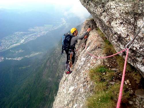
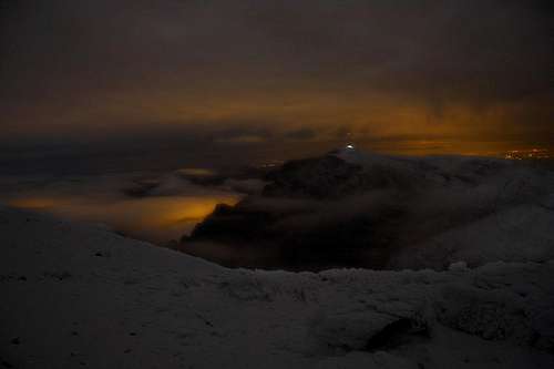
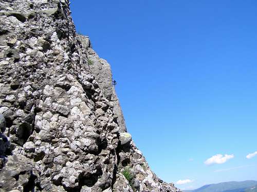
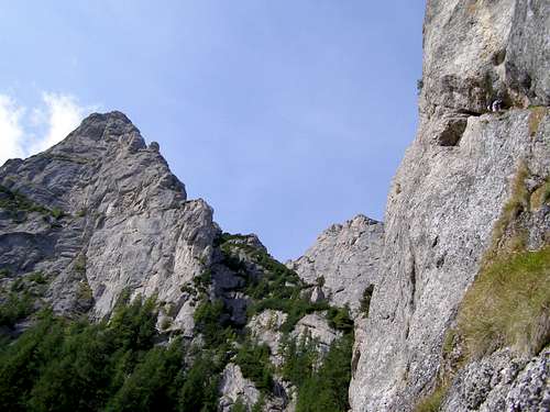
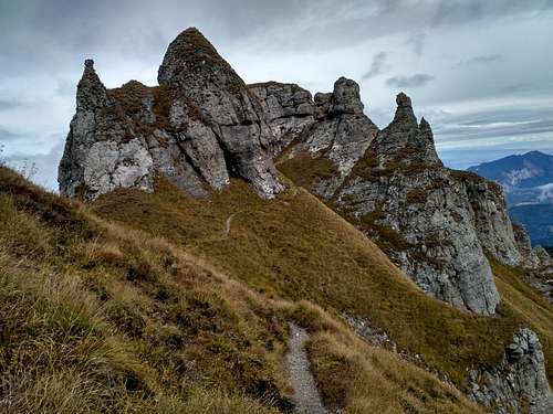
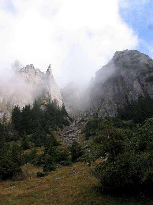
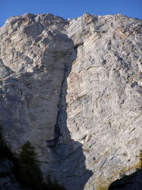
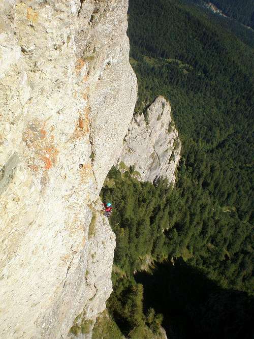
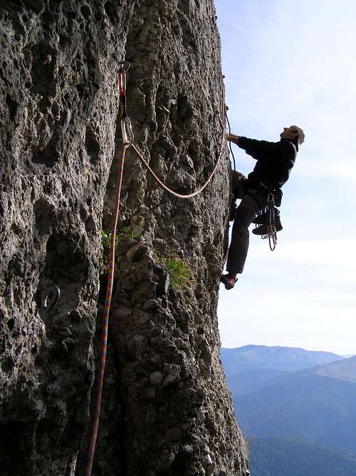
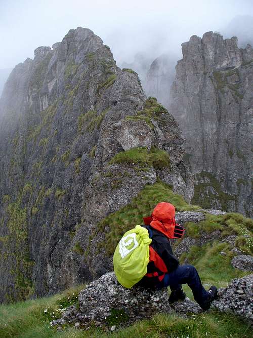
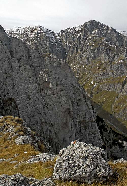
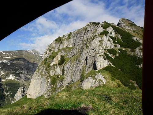
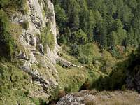
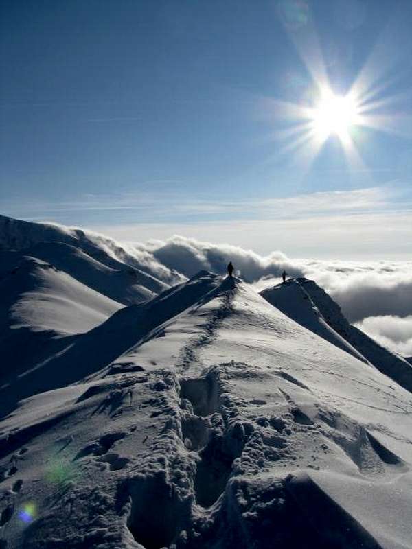
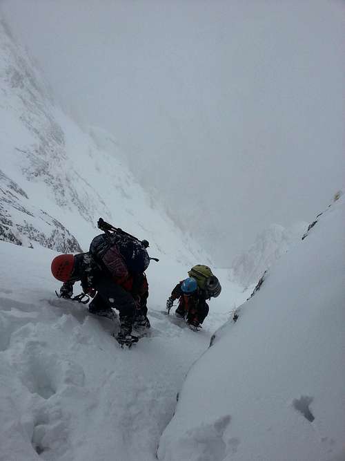
The Abruptul Prahovean, i.e. the great Bucegi cliff rearing over the Prahova Valley, is a mecca for Romanian rock climbers. The most demanding walls are those of Coştila, the 350m tall wall of Valea Alba being the largest of them. The rock climber's paradise in the vicinity of Coştila, offering a great many pleasant routes of varying difficulty, encompasses the Moraru Ridge and the sides of Caraiman. Bear in mind that the rock can be very loose, especially if it is conglomerate. The following photos were taken in the Coştila area.
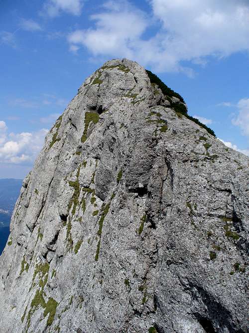
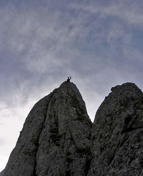
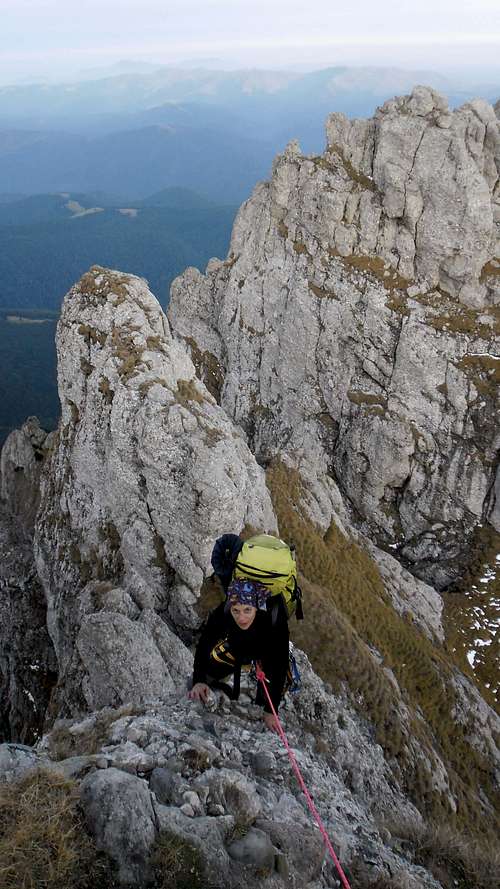
The photos below were taken on Acele Morarului (Miller's Needles).
|
Maps & Books
|
Online maps Paper maps Books
|
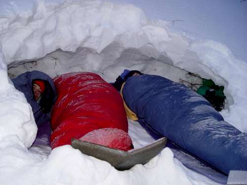
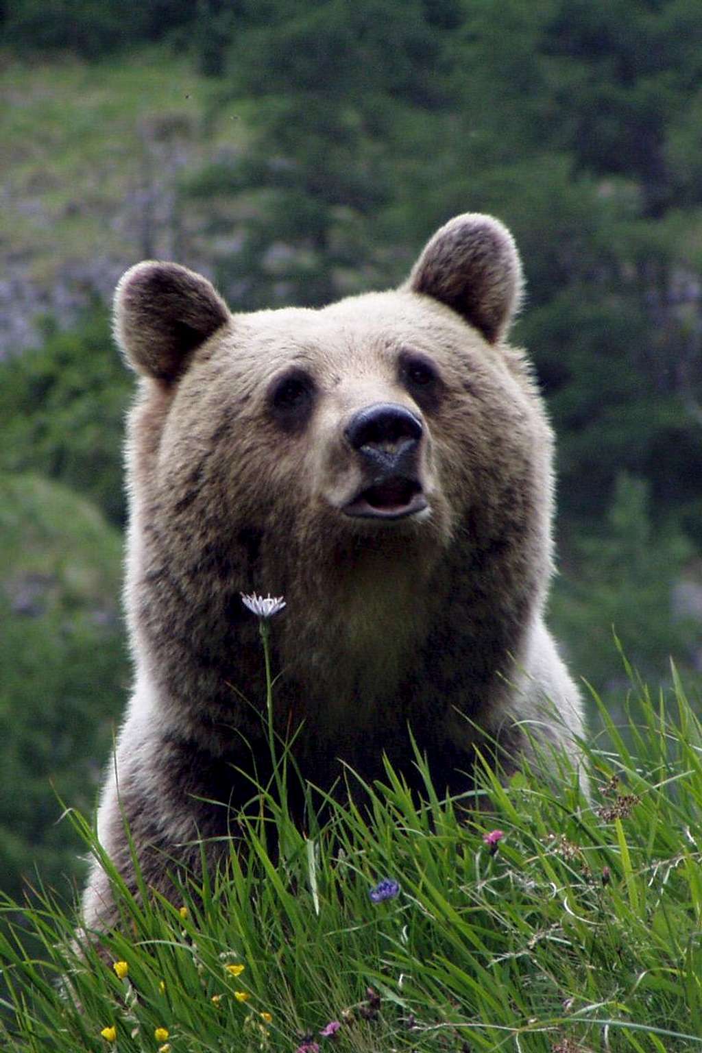
Camping, Red Tape & Bears
|
||||||
|
You'd better not do what the guy did towards the end.
Check out the following link to find out how to behave when you meet a bear.
|
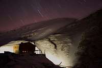
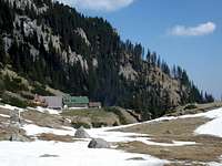
Huts & Shelters
|
In the Bucegi there are about twenty mountain huts (cabana in Romanian) and seven shelters (refugiul). Details can be found on the following sites of carpati.org:
|


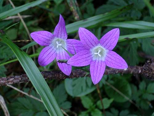
Rare Plants & Wildlife
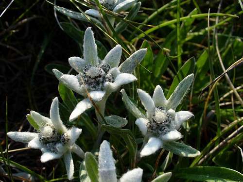
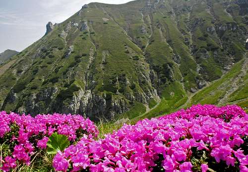
The best-known protected flowers are: Leopoldinum Alpinum, Rhododendron Kotschyi, Nigritella - rubra and Nigra,Trollius europaeus, Gentiana lutea, Gentiana kochiana, Daphne Blagayana.
|
|
|
|
|
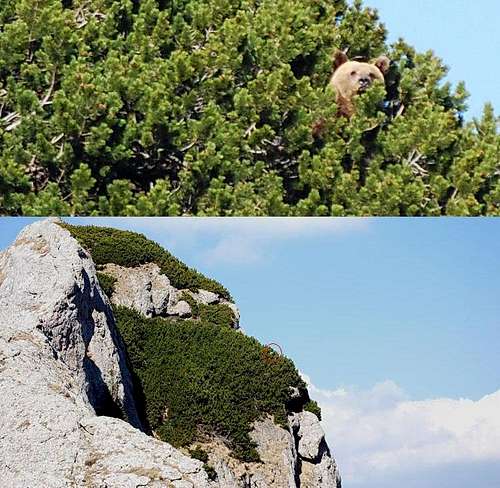
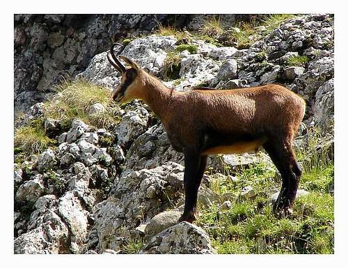
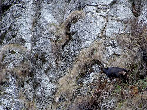
The wildlife is rich and includes big mammals such as the brown bear, wolf, lynx, chamois, red deer and wild boar.
Interesting Natural & Cultural Sites
The table below (made by LukZem) lists attractive natural and cultural sites in the Bucegi Mountais.
| Name | Photo | Status | Short description |
 |
|||
 |
|||
 |
|||
 |
|||
 |
|||
 |
|||
 |
|||
 |
|||
 |
|||
 |
|||
 |
|||
 |
|||
 |
|||
 |
Access & Tourist Resorts

The Bucegi Mountains are easily accessible by rail/road from the capital city of Romania.
The main resorts around the Bucegi:
|
Mountain Conditions & Rescue
|
|||||||||||||||||||||
|
Select External Links
|
|
roamaniac - Feb 25, 2020 6:07 am - Voted 10/10
New Cicerone guide to the Romanian CarpathiansAs of 15 Feb 2020, a new Cicerone guide is available to the Romanian Carpathians, with the same title as the old one ('The Mountains of Romania') but a different author (me). You can find it here: https://www.cicerone.co.uk/948 It contains 37 routes and covers all the major and many lesser mountain ranges of Romania - including two itineraries through the Bucegi. Happy hiking!
yatsek - Feb 29, 2020 6:03 am - Voted 10/10
Re: New Cicerone guide to the Romanian CarpathiansThanks! Links included. I wonder if you could submit a couple of pix. We still have nothing or next to nothing of the Tarcu, Vilcan, Cozia, Leaota and Gilau mountains.