-
 965 Hits
-
 79.04% Score
-
 10 Votes
|
|
Mountain/Rock |
|---|---|
|
|
Hiking, Skiing |
|
|
Spring, Summer, Fall, Winter |
|
|
6749 ft / 2057 m |
|
|
Overview
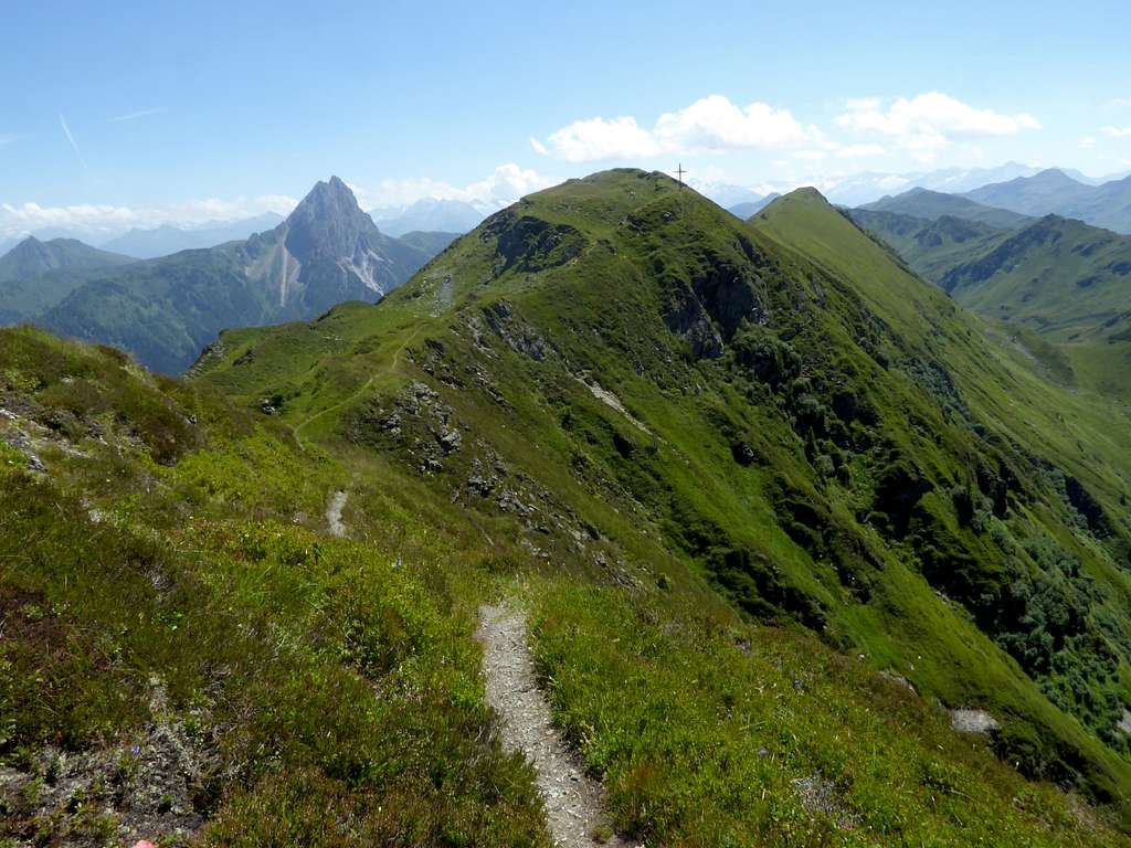
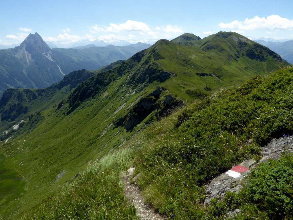
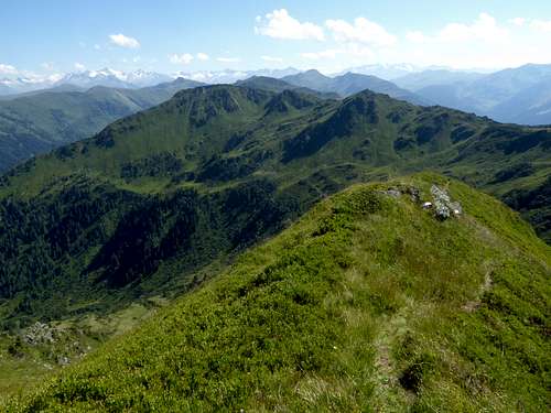
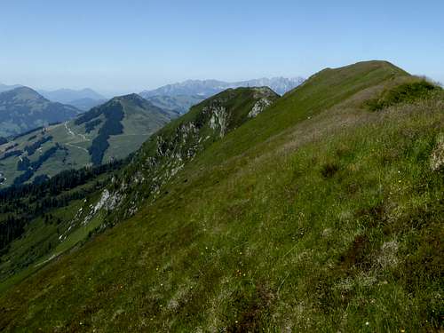
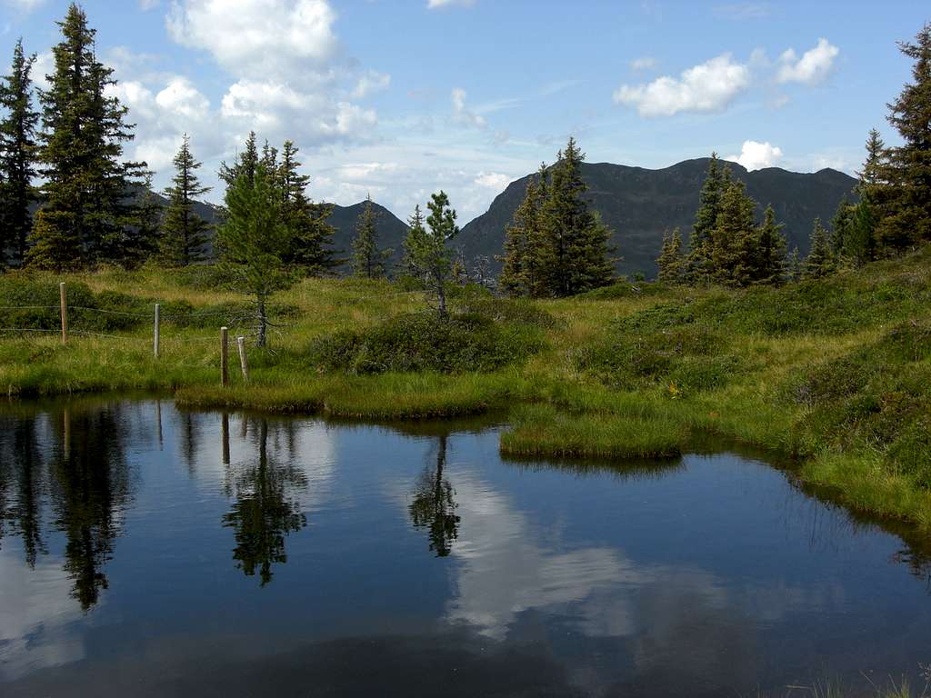
Floch is the southern neighbouring summit to Brechhorn and the much calmer brother of frequented Brechhorn. Floch has three summit bumps, one with a summit cross, the highest bump without nothing (besides of a good summit view and very comfortable summit meadows) and a secondary summit at the southern end of the summit ridge, called Gassenkogel.
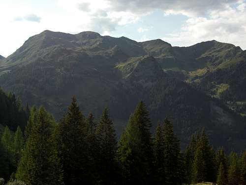
Floch belongs to the Windau-Sperten-range of Kitzbühler Alpen and is bordered by Spertental valley to the east and Windau valley to the west. To the south follows Hintenkarscharte col, separating Floch from Gerstinger Joch, the next summit of the subrange to the south.
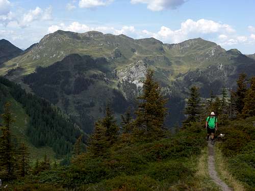
To the north you next reach Brechhorn summit via a beautiful connecting ridge, which can be done all year roude, hiking, skiing or snow shoeing.
I recommend for a hike an ascent to Brechhorn from Unterer Grund, south of Aschau, the traverse to our summit Floch via the nice connecting ridge and the descent via Hintenkarscharte back to the trailhead. At nearby Labalm inn you may stop for a nice dinner on the terrasse with a breathtaking view on nearby Rettenstein.
Getting There
Trailheads for Floch are
Spertental valley:
- parking area Unterer Grund / Hintenbachalm (toll road)
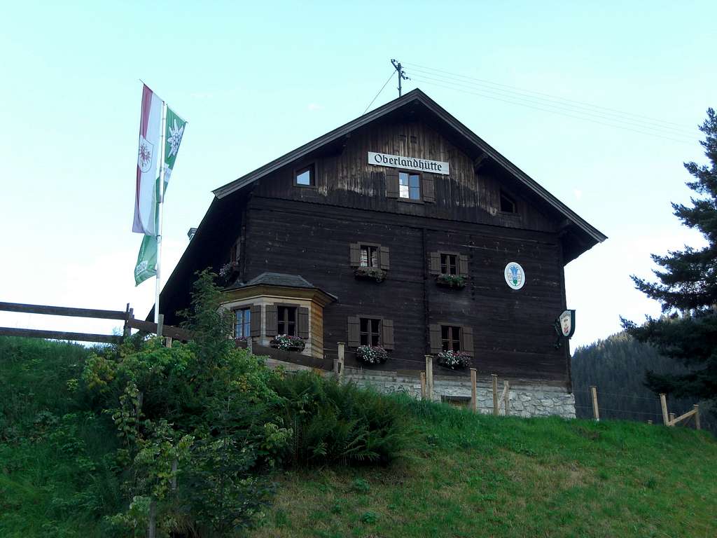
- parking area Aschau / Oberlandhütte (for ski touring)
Windau valley:
- parking area toll station at Rettenbach
- parking area Steinberg mountain inn (toll road)
Best approach by car:
- Leave Austrian highway A12 (toll road), Innsbruck – Kustein – Rosenheim / Munich or Salzburg (German highway A93 and A8) at exit Wörgl Ost.
- Follow road number 178 to exit Hopfgarten and go on road number 170, passing through Hopfgarten.
- Leave road number 170 at Westendorf for Windau valley trailheads, alternatively at Kirchberg / Tirol for Spertental trailheads.
About 7 km from Westendorf to trailhead at Windau toll road station and 10 km to Steinberg mountain inn.
About 9 km to Oberlandhütte and 12,5 km to parking area Unterer Grund / Hintenbachalm.
Public transportation:
next railroad stations are Westendorf for Windau valley and Kirchberg/Tirol for Spertental valley.
- Unfortunately there is no public transportation from Westendorf into Windau valley
- Bus number 4004 goes from Kirchberg railroad station to trailhead cable car valley station Ki-West and to Aschau.
- Trailhead Unterer Grund / Hintenbach valley is not served by public transportation.
Routes Overview
Floch hiking ans ski routes overview:
Hiking routes, starting at Spertental valley:
parking area Unterer Grund / Hintenbachalm (toll road):
- forest road to Steicheralm, Hintenkar Niederalm, Hochalm, trail to Hintenkarscharte (col), west ridge to Gassenkogel, summit ridge to Floch
Hiking routes starting from Windau valley:
from parking area toll station Rettenbach:
- forest road to Hutz, Schönaualm, Mießfang Alm, trail to Hintenkarscharte, Gampenkogel and Floch or
- steep trail via west slopes to Floch
from parking area Steinberg inn (toll road):
- forest road to Pastaualm, Scheibenschlag Niederalm, Scheibenschlag Hochalm, Hintenkarscharte, Gassenkogel, Floch
Traverse routes (hiking):
- to the north to Brechhorn
- to the south to Hintenkarscharte – Gerstinger Joch; the whole rodge to Geige via Kleiner Tanzkogel, Großer Tanzkogel, Schwarzkarkogel, Westerachkopf, Gamsbeil can be done on trails, unmarked tracks an partly off-trail. Great but epic outing, highly recommended.
Ski routes, starting at Spertental valley:
parking area Oberlandhütte:
- Hintenbachalm on toll road, Steicheralm, west ridge to Gassenkogel, summit ridge to Floch or
- below Gassenkogel traverse into upper Schößpalven cirque and to east ridge of Floch, direct ascent.
Ski routes, starting from Windau valley:
from parking area toll station Rettenbach:
- Rettenbach valley, Schönaualm, Brechhorn southwest cirque, north ridge to Floch
Traverse routes (skiing):
- to Brechhorn via the connecting ridge or
- downhill Floch north ridge into east cirque of Brechhorn, ascent to Brechhorn via south slope
Red Tape & Accommodation
There are no restrictions as far as I know.
Some parking areas require a day fee. Pleas use only those signed parking places as the locals don´t like cars standing around everywhere and maybe blocking some acesses to forest roads or meadows.
The access to Steinberghaus inn / Windau valley or the trailheads beyond Aschau / Spertental require toll. Bring enough coins with you, there are only toll collecting machines at the beginning of the toll roads.
All kind of accommodation can be found at:
Mountain huts and inns:
- Oberlandhütte at the end of Spertental public road
- Brechhornhaus
- Labalm inn; only food and drinks from may to october
- Steinberg inn
Gear & Mountain Condition
Floch is a year round summit
Floch requires normal hiking gear and good shoes in late spring, summer and autumn.Gaiters may be needed in late spring.
Floch is a ski tour for beginners. There is nearly always a good ski track, starting from Rettenbach or from Aschau. Most times ski shoe hikers will find their tracks, too.
In winter and spring you need full ski tour gear and your avalanche gear. See the avalanche report here.
Weather Kirchberg/Tirol (Valley)
Weather Floch (summit)
Maps
Best maps for Floch:
Alpenvereinskarte, scale 1 : 50.000
number 34/1, Kitzbüheler Alpen West
Edition with trails or ski routes
Österreichische Karte, scale 1 : 25.000
number NL 33-01-19 Ost, Neukirchen am Großvenediger
Edition with trails and UTM-grid
