-
 970 Hits
-
 77.48% Score
-
 8 Votes
|
|
Mountain/Rock |
|---|---|
|
|
Hiking, Mountaineering, Scrambling, Skiing |
|
|
Spring, Summer, Fall, Winter |
|
|
8028 ft / 2447 m |
|
|
Overview
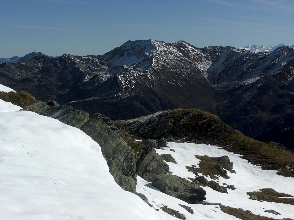
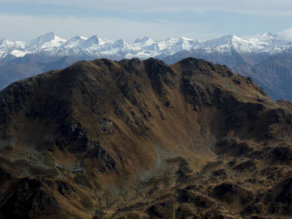
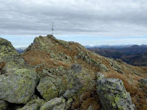
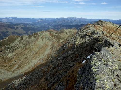
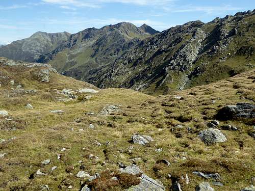
Schafsiedel is for sure among the best known summits within Kitzbüheler Alpen. Located in the Salzachgeier range, Schafsiedel is among the highest peaks of this subrange and its northernmost high summit.
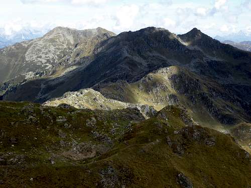
Schafsiedel is bordered by Langer Grund and Frommgrund valleys to the west and Kurzer Grund valley to the east. Its neighbouring peaks are Aleitenspitze to the south and much lower Herzogkogel to the north. Schafsiedel itself is a broad and near level summit ridge, running from north to south for about 300 m length.
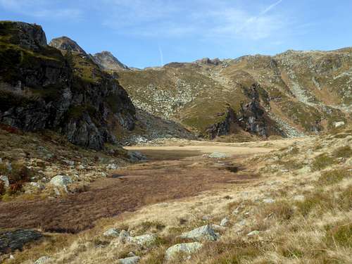
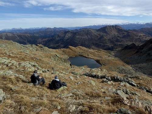
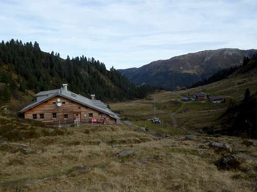
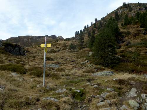
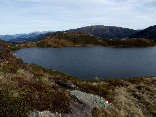
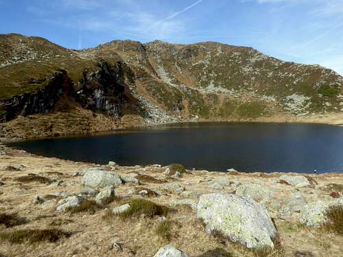
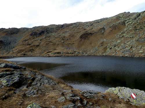
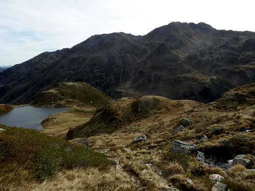
To the east is located one of the most important alpine club huts of Kitzbüheler Alpen: Neue Bamberger Hütte. This hut gives access to Schafsiedel on the only marked trail via the Wildalm lakes. Lying in depressions of the east slopes of Schafsiedel, these beautiful alpine lakes are lined up one above the other, and consequently are called Lower, Middle and Upper Wildalm lake. The latter is the highest lake of Kitzbüheler Alpen. The summit trail goes by these lakes, thus offering great views and great landscape.
Schafsiedel is a year round summit. The summit trail is an easy hiking trail for summer and autumn. There are, however, other marvellous but epic ascents to Schafsiedel, mostly off-trail routes. One traverses the northern lower summits of Salzachgeier range: Foischingköpf, Dürnbergstein, Stanglhöhe and Herzogkogel and uses the north ridge of Schafsiedel. You start this off-trail adventure best from Erla Brennhütte / Langer Grund valley.
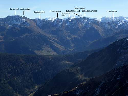
Another epic traverse is from Ochsenkopf via Nebelkarspitze, Kleefeldkopf, Salzachgeier west and east summit, Molterfeldgeier, Fünfmandling and Aleitenspitze.
Both traverse routes require in parts some scrambling and short climbs of grade II. They can be combined to a two days outing.
In winter Schafsiedel offers some very interesting ski routes, which are shortly described below. As Neue Bamberger Hütte opens in winter and spring, too, Schafsiedel receives many visits in winter times. The area can be recommended for ski touring, there are many routes and summits for skiiers starting from Neue Bamberger Hütte.
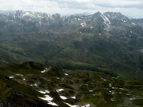
With its broad appearance Schafsiedel can easily identified when viewed from other Kitzbüheler summits.
I recommend an ascent in autumn times when Neue Bamberger Hütte is closed and only some locals are around for hikes. The trail and the atmosphere is calm and the autumn colours adorn the broad slopes of Schafsiedel and the neighbour summits. If, however, you choose one of the long traverses to and from Schafsiedel, you will be rather alone in summer, too, as those routes are not marked and signposted.
Getting There
Northern trailheads for summer and winter activities are the valleys
- Langer Grund and
- Kurzer Grund near Kelchsau.
Both valleys have toll roads.
- Main trailhead is the parking area at Gasthof Wegscheid at the end of Kurzer Grund valley road.
- Trailhead for the below described traverse routes and for the western ski route is Erla Brennhütte parking area at the Langer Grund road.
By car
- Take exit Wörgl Ost of the highway A 12 (toll road), coming from Innsbruck or from Munich, Salzburg (highway A 8 to Inntaldreieck and A 93 / A 12 via Kufstein).
- Follow road number 178 to exit “Hopfgarten” and then road number 170 to Hopfgarten village.
- Go right on Kelchsauer Landesstraße (signposts for Kelchsau) at the end of Hopfgarten village. Follow this road through Kelchsau village until you reach the toll station.
- Behind the toll station go straight on into Langer Grund until you reach Erla Brennhütte parking area or
- go left after the toll station into Kurzer Grund valley until you reach Wegscheid parking area at the end of the toll road.
Public transportation
- Next railroad station is Hopfgarten.
- Bus number 4057 goes from Hopfgarten railroad station to Kelchsau.
- The bus ends at Kelchsau Steinerbrücke. Unfortunately there is no public transportation to Kurzer Grund or Langer Grund.
A rather unusual trailhead for Schafsiedel and the area around Neue Bamberger Hütte is at parking area Salzachbrücke near Königsleiten village alongside road number 165 from Pinzgau valley to Zillertal valley. This trailhead is at the south side of Kitzbüheler Alpen.
Routes Overview
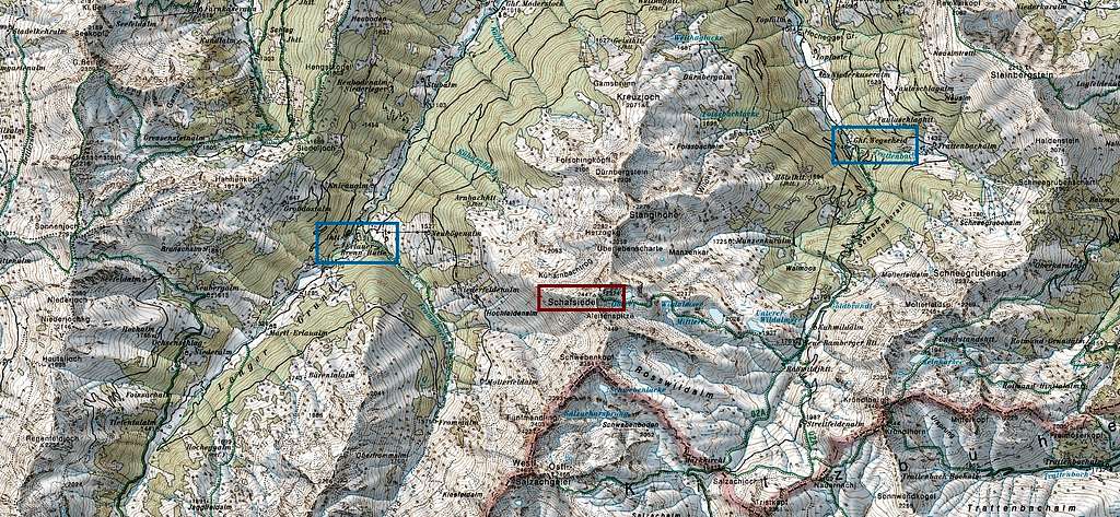
Trailhead Gasthof Wegscheid, Kurzer Grund valley, normal hiking route
Gastof Wegscheid – trail and in parts forest road to Kuhwildalm and Neue Bamberger Hütte – trail to the summit, passing by the beautiful lakes of Lower, Middle and Upper Wildalmsee
This is the normal ski route, too.
Traverse route
This is a two days traverse route along the Schafsiedel – Salzachgeier ridge, a very special hike. Overnight stay at Neue Bamberger Hütte.
First day, traverse route north:
Erla Brennhütte parking area – forest roads of the west slopes of Schafsiedel until you reach the lower end of a clearing near the end of the forest road– off trail across meadows to Kreuzjoch (2071 m) – ridge to Dünrbergstein (2206 m) – Stanglhöhe (2276 m) – Herzogkogel (2292 m) – Überlebensscharte (2256 m) – north ridge to Schafsiedel – trail to Neue Bamberger Hütte.
Second day, traverse route south:
Neue Bamberger Hütte – trail to Schafsiedel – ridge to Aleitenspitze (2449 m) – Schwebenkopf (2354 m) – Fünfmandling (2422 m) – Salzachgeier west summit (2469 m) – Kleefeldkopf (2348 m) – Nebelkarspitze (2339 m) – Ochsenkopf (2469 m) – Pallscharte (2310 m) – Frommalm and Frommgrund to Erla Brennhütte parking area.
Long off-trail parts, scrambling and some parts of grade II climbing required.
Western ski route
Erla Brennhütte parking area – meadows to Neuhögnalm – long west ridge to Schafsiedel.
Steep route!
Alternatively: Neuhögnalm – Niederfeldalm – Hochfeldalm – west slopes of Aleitenspitze to Aleitenspite or to Schafsiedel.
Another steep route!
South route
Parking area Salzachhütte – forest road to Salzachjochhütte – trail to Salzachalm – Salzachjoch/Markkirchl – Neue Bamberger Hütte – trail to summit.
Very long ascent.
Red Tape & Accommodation
Red Tape
No Red Tape as far as I know.
The roads into Kurzer Grund and Langer Grund are toll roads.
Accommodation
Mountain inns and mountain huts
Gasthof Moderstock (only food and drinks)
Erla Brennhütte (only food and drinks)
Gear & Mountain Condition
Schafsiedel is an all - season mountain.
In the hiking season you need full hiking gear and good shoes. The route from Neue Bamberger Hütte is an easy hike on a marked mountain trail.
The traverses to Ochsenkopf or to Herzogkogel – Dürnbergstein are no marked off-trail-routes which require in parts a bit of scrambling and short climbs up to UIAA grade II.
The ski route from Neue Bamberger Hütte is an easy one and for beginners. The ski route from Langer Grund, however, is only for the experienced skiers.
Full ski and avalanche gear is required.
Check the Tirol avalanche bulletin here.
Weather overview
Valley Weather Kirchberg/Tirol
Mountain weather Schafsiedel
Maps
Alpenverein maps
- Alpenvereinskarte 1 : 50.000; Kitzbüheler Alpen West, Nr. 34/1, Deutscher Alpenverein, 2010; - topo map with trails
- Alpenvereinskarte 1 : 50.000; Kitzbüheler Alpen West, Nr. 34/1 S, Deutscher Alpenverein, 2010; - topo map with ski routes
Austrian Topo Maps
Österreichische Karte 1 : 50.000 - UTM (ÖK50):
- 3219, Neukirchen am Großvenediger
- 2224, Wörgl
