-
 997 Hits
-
 79.04% Score
-
 10 Votes
|
|
Mountain/Rock |
|---|---|
|
|
Hiking, Skiing |
|
|
Spring, Summer, Fall, Winter |
|
|
6667 ft / 2032 m |
|
|
Overview
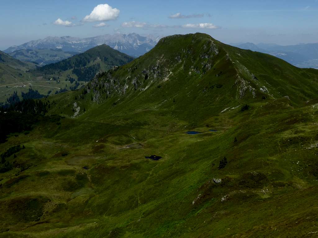
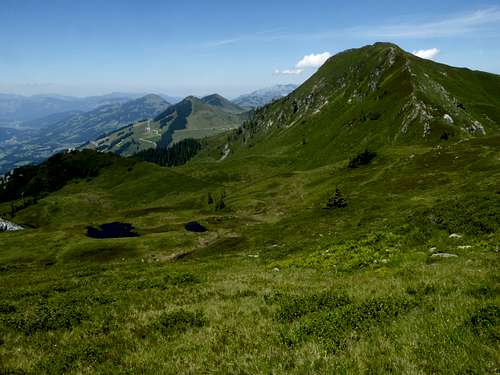
The northern area of the Windau-Sperten-range of Kitzbühler Alpen host many hiking and skiing summits. Among those Brechhorn is by far the most wellknown and, mainly in winter, the most frequented ski tour of the small area. Aschau and the Oberlandhütte, a equally wellknown alpine club hut, located in Spertental valley and directly accessible with car and public busses, offer several trailheads for hikers and ski touring, whereas Windau valley to the west is less known and therefor the calmer side of this summit.
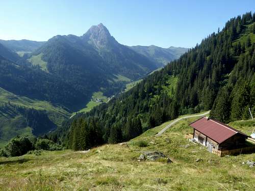
Brechhorn means broken horn and you immediately know, why locals choose this denomination when you view our summit from the north. Its upper horn – like summit seems to be broken off.
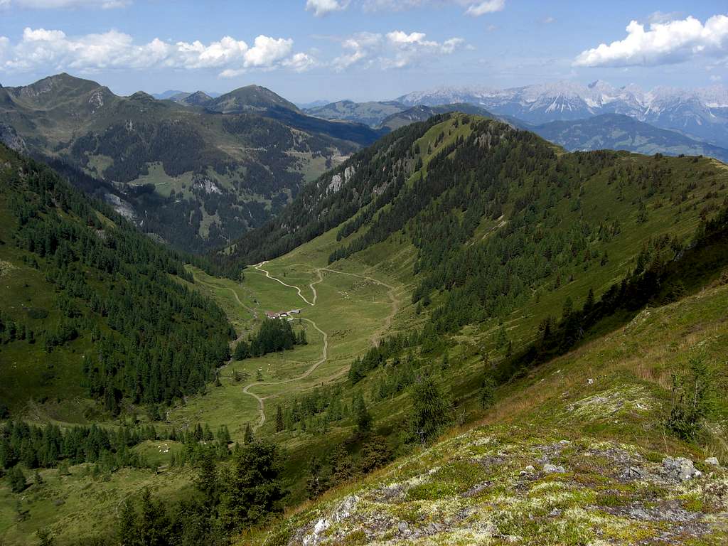
Brechhorn is bordered by Spertental valley to the east and Windau valley to the west.
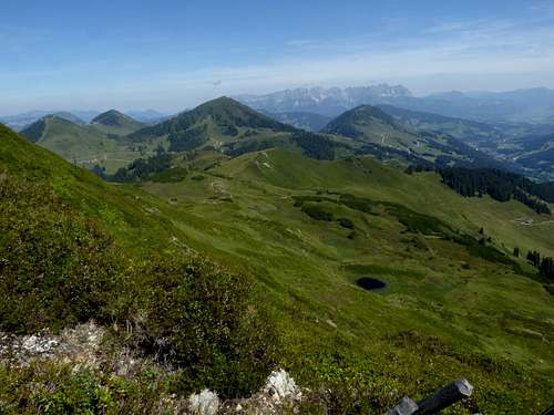
To the north some minor summits of the subrange are lining up, among them Gampenkogel as the most prominent among them.
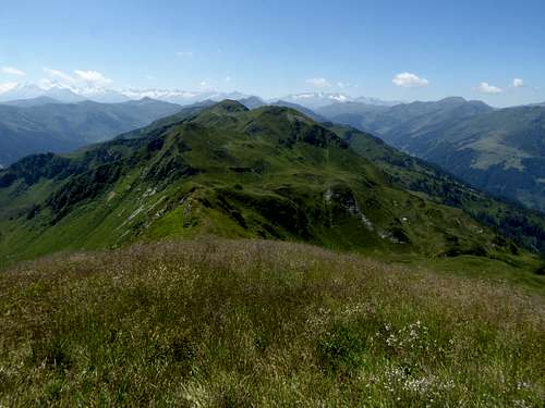
To the south the Windau-Sperten-range offer nice traverses and some higher summits, the nearest are Floch and Gerstinger Joch. With these you reach the more calmer part of this subrange.
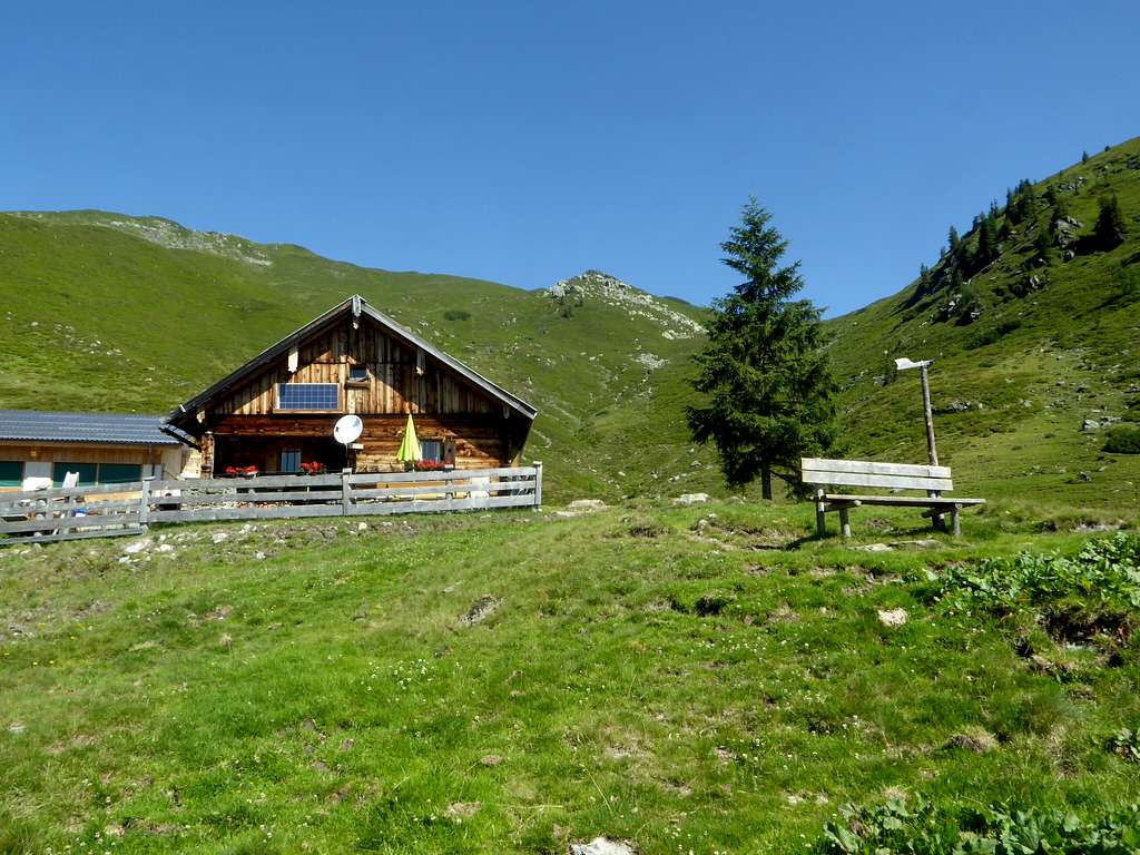
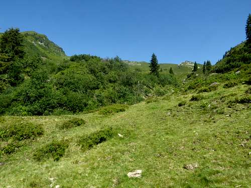
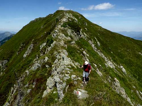
I recommend for a hike the ascent to Brechhorn from Unterer Grund, south of Aschau, the traverse to Floch via the nice connecting ridge and the descent via Hintenkarscharte back to the trailhead. Nearby Labalm inn invites for a nice dinner.
Getting There
Trailheads for Brechhorn are
Spertental valley:
- parking area cable car valley station Ki-West cablecar to Gampenkogel / Kreuzjöchlsee
- parking area Oberlandhütte / Aschau (only ski touring)
- parking area Unterer Grund / Hintenbachalm (toll road)
Windau valley:
- parking area toll station at Rettenbach
- parking area Steinberg mountain inn (toll road)
Best approach by car:
- Leave Austrian highway A12 (toll road), Innsbruck – Kustein – Rosenheim / Munich or Salzburg (German highway A93 and A8) at exit Wörgl Ost.
- Follow road number 178 to exit Hopfgarten and go on road number 170, passing through Hopfgarten.
- Leave road number 170 at Westendorf for Windau valley trailheads, alternatively at Kirchberg / Tirol for Spertental trailheads.
About 7 km from Westendorf to trailhead at Windau toll road station and 10 km to Steinberg mountain inn.
About 6 km from Kirchberg to trailhead at Ki-West valley station, 9 km to Oberlandhütte and 12,5 km to parking area Unterer Grund / Hintenbachalm.
Public transportation:
next railroad stations are Westendorf for Windau valley and Kirchberg/Tirol for Spertental valley.
- Unfortunately there is no public transportation from Westendorf into Windau valley
- Bus number 4004 goes from Kirchberg railroad station to trailhead cable car valley station Ki-West and to Aschau.
- Trailhead Unterer Grund / Hintenbach valley is not served by public transportation.
Routes Overview
Brechhorn hiking and ski routes overview:
Hiking routes, starting at Spertental valley:
from parking area valley station of Ki-West cablecar:
- forest road to Reispalalm, Hagler Alm, trail to Schlederer Scharte (col), Schledererkopf, north ridge to Brechhorn
parking area Unterer Grund / Hintenbachalm (toll road):
- forest road to Steicheralm, Wirts-Mittelleger, trail to Wirts Hochalm, east ridge to Brechhorn
Hiking routes, starting from Windau valley:
from parking area toll station Rettenbach:
- forest road to Hutz, Windaubergalm, trail to Schledernalm, Brandeggalm, Feldbergalm, north ridge to Brechhorn or
- Brandeggalm, traverse to south ridge Brechhorn
Traverse routes (hiking):
- Nachtsöllberg / Westendorf – Gampenkogel – Brechhornhaus – Schledererkopf – Brechhorn – Floch – Hintenkarscharte – Gerstinger Joch
Ski routes, starting at Spertental valley
from parking area valley station of Ki-West cablecar:
- Unterstätt, Lichteneggalm, Streitschlagalm, Brechhornhaus, Schledernalm, Feldbergalm, Brechhorn
from parking area Aschau, Oberlandhütte:
- Durchalm, Duracher Kogel, Breitlabalm, east ridge to Brechhorn
Ski routes starting from Windau valley:
from parking area toll station Rettenbach:
- Rettenbach valley, Schönaualm, Brandeggalm, Feldbergalm, east ridge to Brechhorn or
- Schönaualm, west slopes of Brechhorn to south ridge, Brechhorn
Traverse routes (skiing):
- to Floch via the connecting ridge or
- downhill into east cirque of Brechhorn, ascent to Floch via north ridge
Red Tape & Accommodation
There are no restrictions as far as I know.
Some parking areas require a day fee. Pleas use only those signed parking places as the locals don´t like cars standing around everywhere and maybe blocking some acesses to forest roads or meadows.
The access to Steinberghaus inn / Windau valley or the trailheads beyond Aschau / Spertental require toll. Bring enough coins with you, there are only toll collecting machines at the beginning of the toll roads.
All kind of accommodation can be found at:
Mountain huts and inns:
- Oberlandhütte at the end of Spertental public road
- Brechhornhaus
- Labalm inn; only food and drinks from may to october
- Steinberg inn
Gear & Mountain Condition
Brechhorn is a year round summit
Brechhorn requires normal hiking gear and good shoes in late spring, summer and autumn.Gaiters may be needed in late spring.
Brechhorn is a ski tour for beginners. There is nearly always a good ski track, starting from Rettenbach or from Aschau. Most times ski shoe hikers will find their tracks, too.
In winter and spring you need full ski tour gear and your avalanche gear. See the avalanche report here.
Weather Kirchberg/Tirol (Valley)
Weather Brechhorn (summit)
Maps
Best maps for Brechhorn:
Alpenvereinskarte, scale 1 : 50.000
number 34/1, Kitzbüheler Alpen West
Edition with trails or ski routes
Österreichische Karte, scale 1 : 25.000
number NL 33-01-19 Ost, Neukirchen am Großvenediger
Edition with trails and UTM-grid
