-
 1327 Hits
-
 76.66% Score
-
 7 Votes
|
|
Mountain/Rock |
|---|---|
|
|
Hiking, Mountaineering, Skiing |
|
|
Spring, Summer, Fall, Winter |
|
|
8018 ft / 2444 m |
|
|
Overview
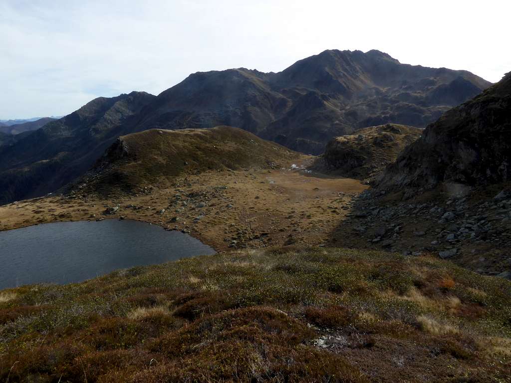
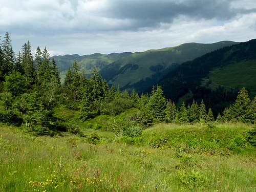
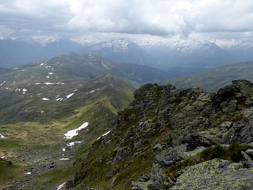
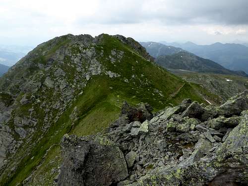
Kröndlhorn and Kröndlberg are a twin peak in the very center of Kitzbüheler Alpen. Being higher than 2400 m means something within Kitzbüheler Alpen: our twin summit is among the highest peaks of this area.
Besides that, Kröndlhorn is, as a year round outing, a very nice summit goal. Being within the region of Neue Bamberger Hütte, one of the rare alpine club huts in the area, Kröndhorn is among the main targets of this huts surroundings. The one day routes out of Windau valley are among my favorite Kitzbüheler routes. With nearby Molterfeldspitze and Schneegrubenspitze, Kröndhorn offers an interesting ridge traverse, too, mainly off-trail and very lonely.
Kröndlhorn and Kröndlberg are the culmination points of the north – south – running ridge, which divides Kelchsau Valley and Kurzer Grund to the west from Windau valley to the east. Besides Kröndlhorn, this long ridge has only one more important summit: Steinbergstein. The immediate neighbor summits of Kröndlhorn/Kröndlberg are Molterfeldspitze to the north, Sonnwendkogel, to the south, Dristkogel to the west and Mitterkopf to the east. All these summits are minor ones, thus allowing the rocky outcrop of Kröndhorn/Kröndlberg to dominate the surrounding.
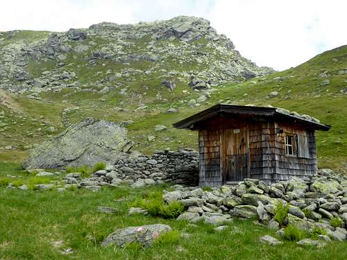
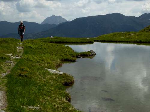
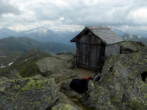
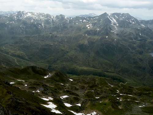
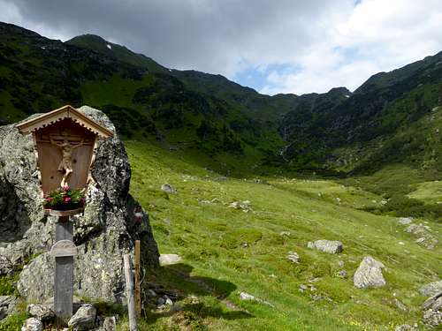
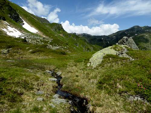
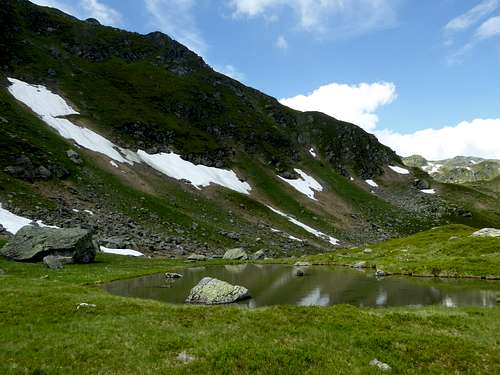
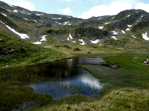
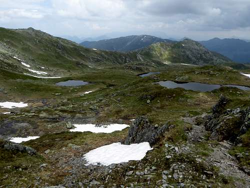
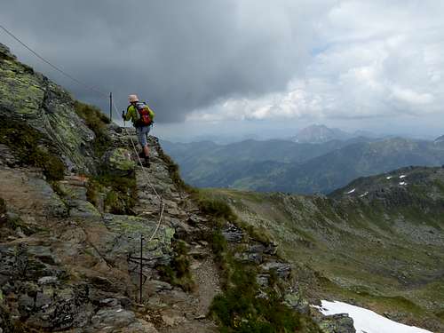
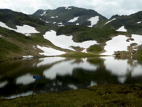
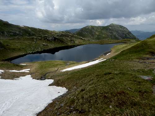
Kröndhorn/Kröndlberg are surrounded by some very nice natural features like Reinkarsee and the cirque with the same denomination to the northeast or the mountain valley between Salzachjoch and Neue Bamberger Hütte. The summit of Kröndlhorn is a surprise: instead of a normal summit cross there is a little wooden chapel on the top. Inside this chapel is …just … incredible …
Getting There
There are four main trailheads for Kröndlhorn, depending on wether you come from the north side or the south side of the mountain:
Kelchsau valley, Kurzer Grund, Gasthof Wegscheid (toll road)
Windau valley, valleys end, Krumbach hiker parking area
Wald im Pinzgau, Rossberg / Gasthof Rechtegg parking area
Königsleiten, cable car parking area
You reach the northern trailheads by car:
- From Munich and Salzburg direction by using the highways A 8 / A 93 and Austrian A 12 (toll road); from Innsbruck direction directly on highway A 12 (toll road) until exit “Wörgl Ost”.
- Go on road number 178 and then 170 to Hopfgarten.
- For Kelchsau trailhead leave road 170 at Hopfgarten after passing the railway bridge and follow Kelchsauer Landstraße to Kelchsau and to the toll station. Go left after the toll station (toll machine) and follow Kurzer Grund road to Gasthof Wegscheid with the parking area.
- For Windau trailhead leave road number 170 at Westendorf, pass through the village and follow the road into Windau valley. Go on until you reach the parking area Krumbach at Windau valley end.
The southern trailheads can be reached
- on road number 165, Pinzgau valley, connecting Zillertal valley / Zell am Ziller with Mittersill (road number 161 goes from Kitzbühel and Pass Thurn to Mittersill) and on road number 168 between Mittersill and Zell am See.
- For Königsleiten trailhead leave road number 165 near Gerlospass and follow the signs to Königsleiten and the parking area of Königsleiten cable car.
- For Gasthof Rechtegg parking area leave road number 165 between Wald im Pinzgau and Neukirchen am Großvenediger, following the Rossberg road up to the inn. There are parking lots at the inn and above at a switchback, where the forest road to Kröndlhorn branches off.
Public Transportation:
The next railway station to the north is Hopfgarten for Kelchsau and Windau im Brixental.
Bus number 4057 goes from Hopfgarten to Kelchsau. There is no public transportation to Gasthof Wegscheid. There is likewise no public transportation within Windau valley
The next railway station to the south is Zell am Ziller. Bus number 4094 goes from the railway station to Königsleiten and to Wald im Pinzgau. Please note that the Gasthof Rechtegg trailhead is about 400 m higher than the valley villages!
Routes Overview
Trailhead Windau, Krumbach hiker parking area:
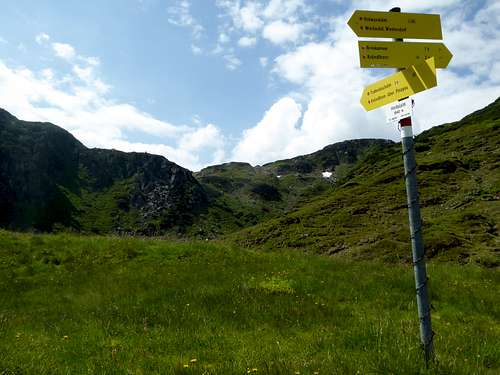
- Forest road to Oberkaralm, trail to Reinkarsee and to the two summits;
- alternatively: trail to Rotwand Grundalm, trail to Rotwand Hinttalalm, trail to Reinkarsee and to the two summits;
These routes can be combined to a loop route.
Trailhead Wald im Pinzgau, Rossberg / Gasthof Rechtegg parking area:
- Forest road to Sonntagsalm, Trattenbach Grundalm and Trattenbach Hochalm. Trail to the summits.
Trailhead Königsleiten:
- Forest road to Salzachjoch; trail to Nadernachjoch, southwest ridge to Kröndlhorn
Trailhead Neue Bamberger Hütte:
- Trail or forest road to Streitfeldalm; trail to Nadernachjoch and the southwest ridge to the summits.
Trailhead for Neue Bamberger Hütte is parking area Gasthof Wegscheid / Kurzer Grund at the end of Kelchsau valley. Follow the trail and in parts the forest road to the alpine club hut.
Traverse route:
Kröndhorn – Kröndlberg – ridge to Molterfeldspitze, Schneegrubenspitze and Schneegrubenscharte; descent to Kurzer Grund or to Windau valley possible. The route and the descents are mainly off-trail!
Ski routes:
- One route follows the summer ascent to Neue Bamberger Hütte, starting at Kurzer Grund trailhead. One route uses the summer route to Nadernachjoch and the southwest ridge. Another route uses the Kröndl chute, a steep chute between Kröndlhorn and Kröndlberg west side. Mostly a descent route with secure avalanche condition.
- Another route starts at Steinberghaus Inn, Windau valley and follows the forest road to the valleys end and to Oberkaralm. The route goes up to Reinkarsee and the summits. Long valley slog.
Red Tape & Accommodation
No restrictions as far as I know.
Some roads to the trailheads are toll roads, the toll includes the parking fees.
The northern valleys of Windau and Kelchsau offer all kinds of accommodation:
To the south
offer all kinds of accommodation
Mountain huts
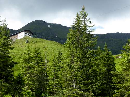
Neue Bamberger Hütte (huge alpine club hut with many more tour opportunities)
Gear & Mountain Condition
Kröndlhorn and Kröndlberg can be summited the whole year.
In summer and autumn all routes are easy hiking routes. All routes are rather long and fill up a long day. Only with an overnight stay at Neue Bamberger Hütte you can shorten your day.
In winter and spring Kröndlhorn is an interesting and equally long ski tour. The routes have medium difficulty, the Kröndl chute being difficult. Again Neue Bamberger Hütte can help, the hut is open from June through October and from Christmas until Easter holiday.
Full ski tour gear and avalanche gear is necessary. Check the Tirol avalanche bulletin.
Weather condition:
Maps
Alpenvereinskarte, scale 1 : 50000, number 34/1, Kitzbüheler Alpen West:
- with trails and UTM-grid, edition 2018
- with ski routes and UTM-grid, edition 2019
Österreichische Topographische Karte, scale 1 : 50000, number 3219, Neukirchen am Großvenediger,
with trails and UTM-grid, edition 2018
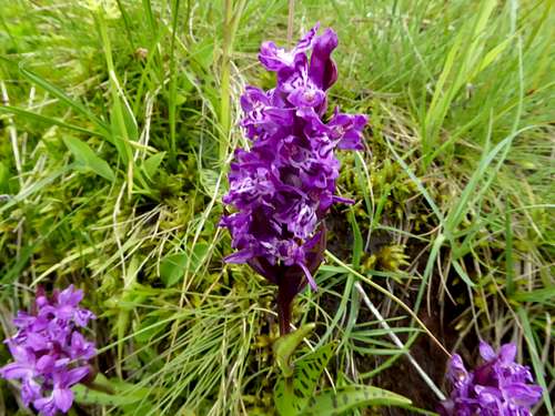
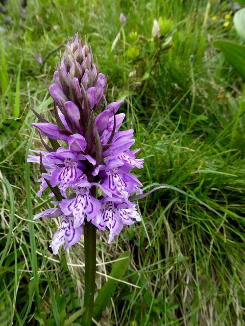
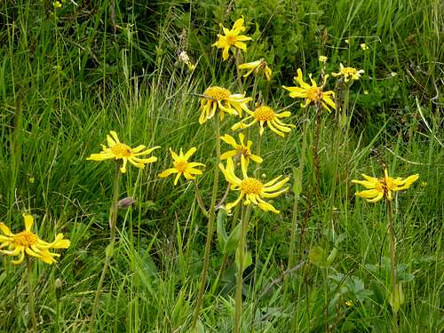
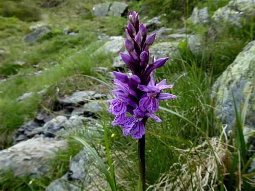
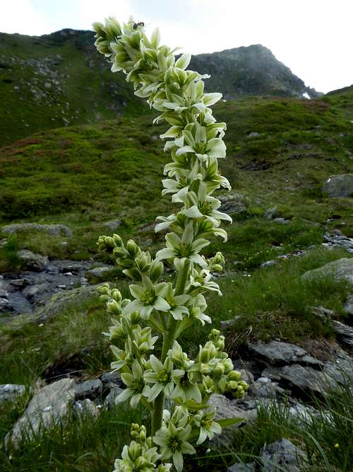
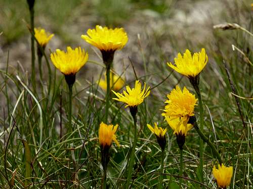
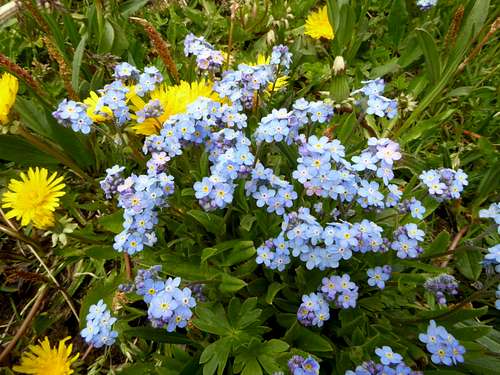
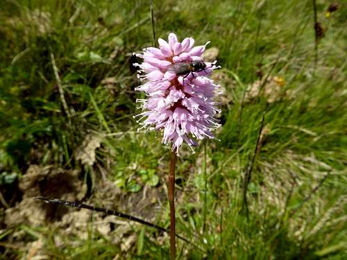
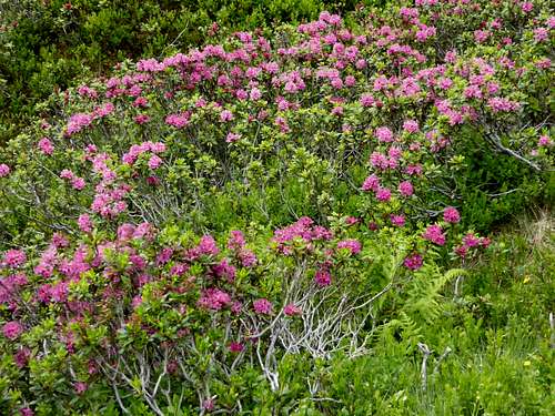
Summer wildflowers of Kröndlhorn


