-
 1898 Hits
-
 75.81% Score
-
 6 Votes
|
|
Mountain/Rock |
|---|---|
|
|
47.36396°N / 12.46758°E |
|
|
Hiking, Skiing |
|
|
Spring, Summer, Fall, Winter |
|
|
7146 ft / 2178 m |
|
|
Overview
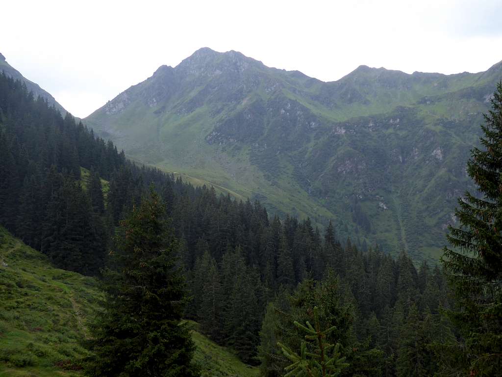
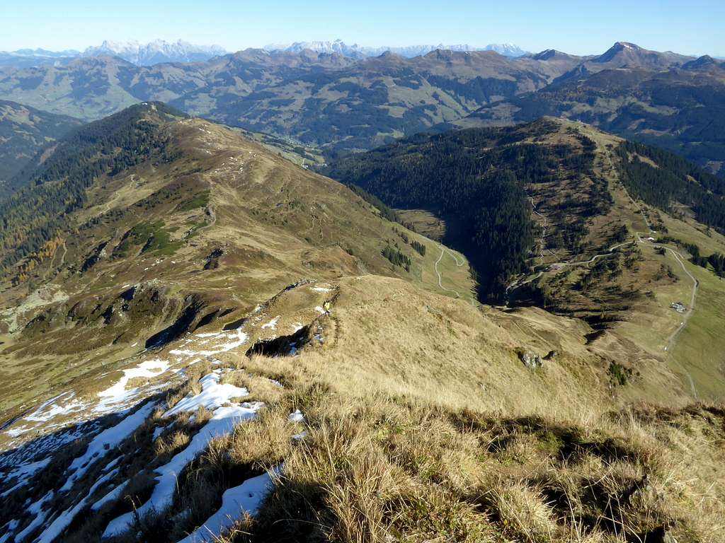
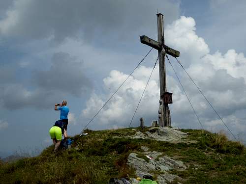
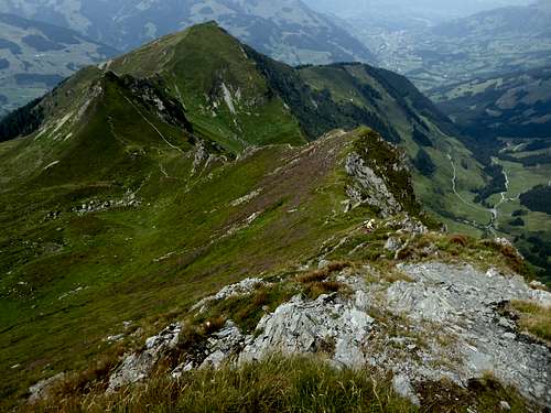
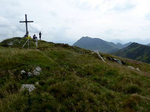
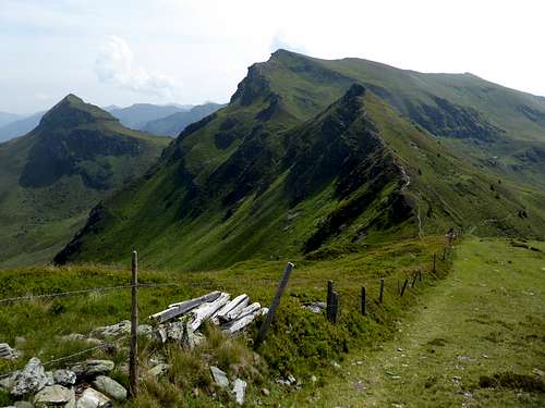
Gamshag is a wellknown summit near Kitzbühel in the Glemmtaler Alpen part of Kitzbüheler Alpen. Its easy accessibility from several trailheads makes Gamshag a prime target in summer and winter. Located near the town of Kitzbühel, Gamshag is one of the main summits of a long, south – north – running ridge between Wildseeloder to the north and Gaisstein to the south. The neighbor summits are Schützkogel and its unnamed twin to the northwest, Tristkogel to the northeast and Teufelssprung to the south; the latter is only a 15 minutes near level walk away.
Gamshag and the ridge to Teufelssprung are the culmination point above three valleys: Sintersbachtal to the west, Kelchalm valley to the north and Saalbach – Hinterglemm valley with its huge ski area to the east. All three valleys host trailheads for Gamshag and the adjacent summits. Gamshag can be included in a variety of hiking traverse routes among them the Sintersbach valley loop route with at least 11 summits in two days.
Gamshag is a wellknown ski tour in winter and springtime, too.
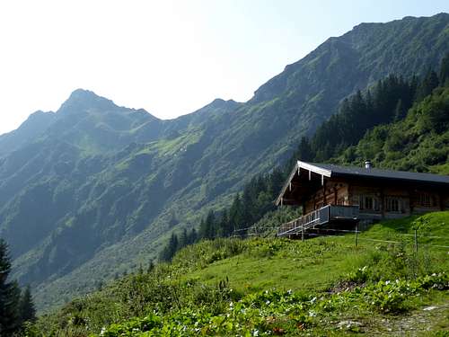
Hikers who start at Kelchalm trailhead are in a historic interesting part of Kitzbüheler Alpen. Already 3000 years ago, Illyrian people started mining on copper ores in the area. From 1769 to 1900, copper ores where mined on a greater scale, the ruins of some mining buildings and the old mine dumps are still visible near the Kelchalm trailhead.
Getting There
Trailheads for Gamshag are:
- Parking area Pochwerk, Kelchalm valley
- Jochberg, Erlauweg
- Saalbach / Hinterglemm – Lengau
You reach the Kelchalm or Jochberg trailhead by car:
From Munich or Salzburg directions by using highway A 8 and A 95 to Kufstein and A 12 (toll road) to exit Wörgl Ost; from Innsbruck likewise on A 12 to the indicated exit.
Go first on road number 178, then on road number 170 to Kirchberg and Kitzbühel. Turn on road number 161 in the direction to Pass Thurn.
For Kelchalm valley take Grüntalweg at Jochberg, Hotel Wiesenegg. Follow the road into Kelchalm valley until you reach the parking area “Pochwerk” an old ore mine place. The road is restricted for guests of Kelchalm / Bochumer Hütte.
For Jochberg trailhead go on road number 161 to Jochberg center and turn on Erlauweg. Follow this road to the end (parking area), crossing Jochberger Ache
Saalbach / Hinterglemm valley branches off at Zell am See. The trailhead is at the very end of the public road after passing through Hinterglemm. You reach Zell am See from highway A 10 / exit Bischofshofen and road number 311. You reach Zell am See likewise on road number 165 and 168 passing through Pinzgau valley.
Public transportation:
Next railroad stations are
- Kitzbühel
- Zell am See
Bus number 4010 goes from Kitzbühel to Jochberg.
Post bus number 680 connects Saalbach-Hinterglemm valley with Zell am See.
Routes Overview
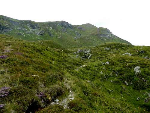
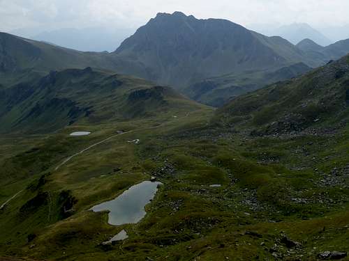
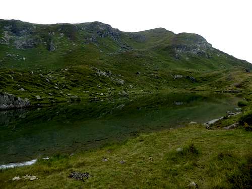
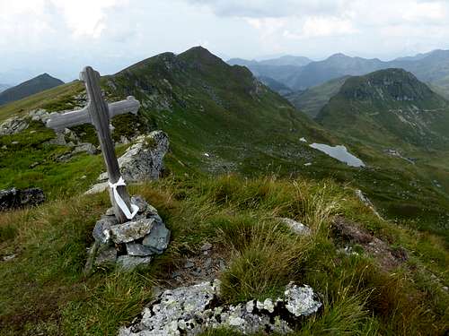
From Kelchalm / Pochwerk go to Niederkaseralm and Oberkaseralm, using the forest road an between Niederkaser and Oberkaser the old trail as a shortcut. Ascend then on the marked trail to Tor, the col between Gamshag and Tristkogel. Go right on a narrow trail up to Torsee, a beautiful lake below Gamshag. Ascend the southeast slope to Gamshag summit.
From Lengau near Hinterglemm go to Lindingeralm on the forest road. Take there the left hand trails up the north slopes of the valley and traverse to the west to the summit station of a supply cable car. Follow that trail up to Torsee, crossing the forest road to Toralm one time. From Torsee follow the southeast slope trail to the summit.
Traverse routes:
20 minutes to Teufelssprung on the near leven connecting ridge.
North ridge to Schützkogel on an easy and marked trail, traversing the unnamed twin summit of Schützkogel. Beautiful!
Ski route to Gamshag:
The winter parking area is at the end of Grüntalweg / Jochberg. Follow the forest road to Niederkaseralm. Ascend to Oberkaseralm and the broad col named Tor. Do a huge curve to the south and west and climb the southeast slope of Gamshag above Torsee lake to the summit.
Red Tape & Accommodation
Please respect road restrictions and parking fees.
No nature protection area as far as I know.
Accommodation in the valleys
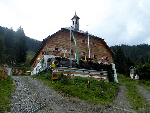
Mountain huts
Wildalm
Gear & Mountain Condition
You can summit Gamshag the whole year round.
In winter and spring, Gamshag is an easy ski tour which nevertheless require full ski tour and avalanche gear.
Check the Tirol avalanche bulletin here.
In late spring, summer and autumn, Gamshag is an easy hike. You need normal hiking gear, good shoes and maybe hiking poles. There are several hiking traverse options for one day or for several days.
Weather for Kitzbühel:
Maps
Alpenvereinskarte, scale 1 : 50000
number 34/2 Kitzbüheler Alpen, östliches Blatt;
- with trails and UTM-grid, edition 2015
- with ski routes and UTM-grid, edition 2015
