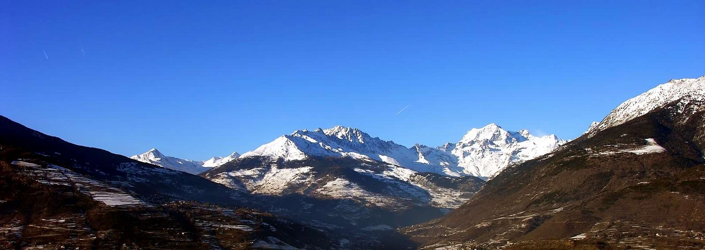
Elegant small pyramid placed on the crest of the Swiss-Italian border, is the second highest peak in the chain between the Mont Golliaz and Mont Menouve. Wonderful point on Mont Velan and other important mountains.
Elegante piccola piramide posta sulla cresta di confine italo-elvetica, è la seconda cima più elevata nella catena tra il Mont Golliaz ed il Mont Menouve. Splendido punto sul Mont Velan e altre importanti montagne.
First Ascents
Firs on the summit: Unknown.
First ascent in winter: Unknown.
E Wall: Osvaldo Cardellina, Emilio Bertona and Gianfranco Vicentini, (Jul 14th, 2002), in descent.
Great tour du Barasson from Barasson Alp-Costa di Barasson-Testa di Barasson-Punta di Barasson-Monte Paglietta-Barasson Alp: Osvaldo Cardellina, Marco Cossard and Giuseppe Lamazzi, (Sep 10th, 1978).
Getting There
BY CAR:
From Torino, Milano, etc: Motorway A5. Exit Aosta Est.
From France: through Mont Blanc Tunnel or Petit St. Bernard Pass. It isn't necessary to enter in Motorway A5, you can drive through SS.26 Aosta direction.
BY PLANE:
Aeroporto "Corrado Gex" Saint Christophe (Aosta).
Itinerary
From Aosta, along the SS.27 of gran San Bernardo, crossing Gignod (988m), Etroubles (1.264m), and Saint Oyen (1.373m), leave to the left the road to the tunnel and go up to Saint Rhemy en Bosses (1.632m) along the valley leading to the Pass of Gran San Bernardo (2.469m; Mansio Romana, Plan de Jupiter, Albergo Italia, Lago e Hospice). Pass the customs and descend along the road of Combes des Morts till a small car parking near the ventiduct of the Tunnel.
Dalla città di Aosta (583 m) salire lungo SS.27 del Gran San Bernardo, e dopo aver superato i paesi di Gignod (988 m), Etroubles (1.264 m), e Saint Oyen (1.373 m), lasciare sulla sinistra la strada che porta al Tunnel del Gran San Bernardo. Salire verso Saint Rhemy en Bosses (1.632 m) continuando lungo il vallone che porta al valico del Gran San Bernardo (2.469 m; Mansio Romana, Plan de Jupiter, Albergo Italia, Lago e Hospice). Varcare la frontiera e scendere lungo la carrozzabile delle Combes des Morts sino allo sfiato del Tunnel, con piccolo parcheggio.
Route
Start walking along the dirt road, on the west side of the stream, ascending the Barasson combe and passing La drance and the path to the Hospice; when the road turns to NW start along a path and walk up to the Western pass of Barasson (2.635m). From the Pass to continue, easily enough, along the crest of border reaching to East the Testa di Barasson (2.731m); to overcome and to go down to the Oriental Hill of Barasson (2.682m). Go up again the easy Crest W-SW for easy rocks to the peak (1h'30/2h'30).
Prendere la strada poderale che, oltrepassata La Drance ed il sentiero per l'Hospice, risale l'intera Comba di Barasson, fiancheggiando a W l'omonimo torrente; quando questa svolta bruscamente verso NW, prendere il sentiero e seguirlo sino al Colle Occidentale di Barasson (2.635 m). Dal Colle continuare, abbastanza facilmente, lungo la cresta di confine raggiungendo la Testa di Barasson (2.731 m); superarla e scendere al Colle Orientale di Barasson (2.682 m). Risalire la facile Cresta W-SW per facili roccette (1h'30/2h'30).
Difficulty
The routes can be rated as EE/F.
L'itinerario è classificato EE/F.
Gear
Normal hiking equipment.
Da escursionismo.
Campings
Remember that free camping is forbidden (except for emergency reasons, over 2.500m, from darkness until dawn).
Mountain Conditions
You can get meteo information at the official site of the Regione Valle d'Aosta:
Parents refers to a larger category under which an object falls. For example, theAconcagua mountain page has the 'Aconcagua Group' and the 'Seven Summits' asparents and is a parent itself to many routes, photos, and Trip Reports.

 4295 Hits
 84.27% Score
 18 Votes