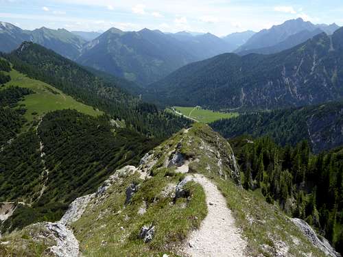
-
 418 Hits
-
 77.48% Score
-
 8 Votes
|
|
Mountain/Rock |
|---|---|
|
|
47.46924°N / 11.40830°E |
|
|
Hiking, Skiing |
|
|
Spring, Summer, Fall, Winter |
|
|
6020 ft / 1835 m |
|
|
Overview
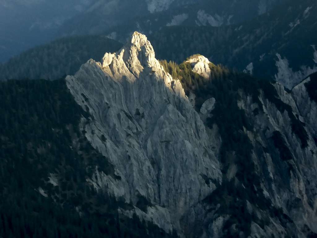
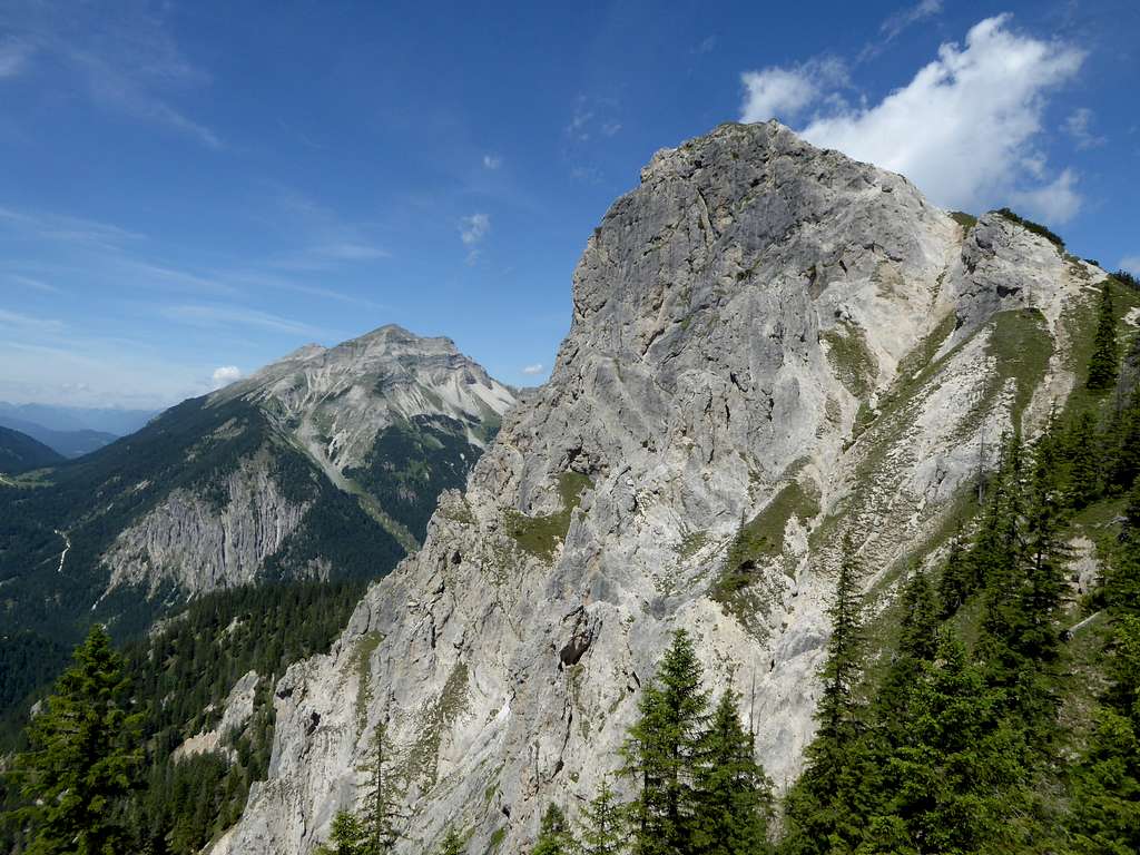
Among the second row summits of Karwendel range, Rappenklammspitze, sometimes called Rappenspitze, too, is a remarkable peak: a rock spire sitting on a rather green and gentle ridge which borders the calm and quiet Rontal valley to its northwest and west. The border between Germany and Austria circles round the west and south side of the peak, the summit itself lies entirely within Tirol/Austria.
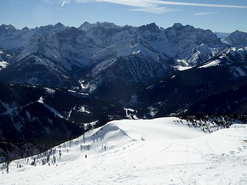
Rappenklammspitze is located between the less important Ronberg and Hochalplkopf, the latter being a nice ski tour aim in winter and spring, as is Rappenklammspitze itself.
To the south is located Wechselkopf, another second row Karwendel peak and part of an interesting and beautiful traverse. To the west Rappenklammspitze shows an impressive rockface and drops steeply down into remote Fermersbach valley which leads up to Fereinalm and the Soiernspitze subgroup of Karwendel.
As second row summit Rappenklammspitze is not a crowded hiking aim. It sees less visitors than neighbouring Torkopf on the east side of Rontal valley. The traverse to Wechselkof is yet more lonely and an add on of Steinkarspitze, another second row summit placed very spectacular directly below the impressive north face of much, much higher Vogelkarspitze, will be a unique climb.
Rappenklammspitze can be climbed the whole year round. In winter and spring Rontal valley offers a marvellous winter landscape and several nice downhill slopes between Hochalplkopf and Torscharte col. As the last 80 meters of Rappenklammspitze are an easy rock climb wintry conditions may be less favorable for reaching the top of this keen spire.
The panorama is surprisingly good and a winter climb with fresh powder snow or a summer hike with many rare wildflowers can be recommended.
Getting There
Best trailhead for the Rappenklammspitze routes is Hinterriß within Eng valley.
You reach Hinterriß by car
- on road number B 13 and B 307 coming from Bad Tölz and Lenggries via Fall / Sylvenstein dammed lake
- on road B318 and B 307 coming from Tegernsee region, Achenpass and Sylvenstein lake
- on road 181 coming from Inntal valley to the German / Austrian border at Achenpass, following road B 307 to Sylvenstein lake.
- Road B 307 ends at Vorderriß. Follow Risstal Landesstraße crossing the German / Austrian border until you reach Hinterriß.
There is a hiker parking area at the beginning of the village, another one after leaving the village (called parking area P2).
Public transportation
There is a hiker bus serving Eng valley. It starts at the railway station of Lenggries and has a bus stop at Hinterriß.
Routes Overview
Rappenklammspitze, Wechselkopf, Torkopf routes overview:
Starting at hiker parking area Hinterriß
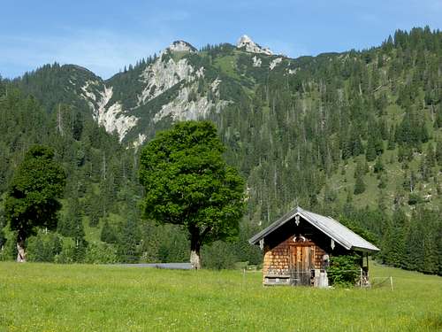
Follow the Risstal Landesstraße in southern direction, Turn right about 100 m south of Gasthof Post Inn and ascend the road and soon the forest road into Rontal until you reach Rontal Alm. Leave the forest road about 100 m in front of the Alm hut to the right, cross the creek and head for the east slopes of already visible Rappenklammspitze. Follow the trail in some zigzags up to the north ridge until the summit trail branches off to the right.
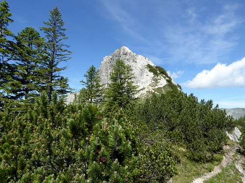
Follow the summit trail to the summit rocks, clims up the rocks (UIAA grade I and scramble) to the summit.
This is the ski route, too
Traverse route to or from Wechselkopf
Follow the trail mostly on the ridge or a bit east of it. The ridge is called Steinkarlkamm. There is a deep notch with some rock scramble in bad rock in front of Wechselkopf, called Wechselschneid.
A nice loop route starts at the bridge across Rissbach creek north of Hinterriß (not many possibilities to park). Take the forest road branching off Risstal Landesstraße south of the bridge to the right. Take the left hand forest road up to Vordersbachau col. In front of the small cabin on the col take the left hand road and then the road branching off to the left. Follow this road to its end and take the trail uo the north slopes of Rappenklammspitze until it arrives the north ridge. Go right to the trail junction with the summit trail. Climb the summit.
For the descent follow the north and northeast ridge crossing Hochalplkopf and Ronberg northeast of Rappenklammspitze. Descend Ronberg northeast keeping on the broad wood ridge until you reach a huge clearing. Stay left of the clearing until you reach the end of a forest road which brings you back to Vordersbachau col. Descend along the ascent route.
Red Tape & Accommodation
Red Tape
The austrian part of Rappenklammspitze belong to the Alpenpark Karwendel, an important and strictly protected National Park. One of the visitor information centers is located at Hinterriß
There is no entrance fee for the park but many regulations to follow.
Please respect the following rules in the National Park:

Accommodation
Accommodation can be found at
No camping within Alpenpark Karwendel
Overnight stay of motorhomes is strictly regulated and only possible at special parking areas
Rontal Alm offers drinks and some simple food.
There are no mountain huts for overnight stays around.
Gear & Mountain Condition
Rappenklammspitze is a year round summit.
The trails to Rappenklammspitze summit rock are easy hiking trails which require normal hiking gear and good shoes.
The short summit ascent requires a bit of rock scrambling in steep and a bit exposed rock - nothing too difficult with dry conditions. With rain, ice, snow or wet conditions this part can be a bit tricky.
Rappenklammspitze and the adjacent summits are ski tours for beginners, nevertheless safe avalanche conditions are required. You need full ski tour and avalanche gear.
See the Austrian / Tirol avalanche bulletin here.
Weather condition:
Weather conditions Hinterriß:
Mountain Weather Vogelkarspitze:
Maps
Alpenvereinskarte 1 : 25.000
Blatt Nr. 5/2, Karwendel Mittleres Blatt
Online Shop Deutscher Alpenverein
together with
Alpenvereinskarte 1 : 25.000
Blatt Nr. 5/1, Karwendel Westliches Blatt
Online Shop Deutscher Alpenverein
both with trails and UTM grid
