-
 5927 Hits
-
 86.37% Score
-
 22 Votes
|
|
Mountain/Rock |
|---|---|
|
|
47.37557°N / 11.56928°E |
|
|
Hiking, Mountaineering, Trad Climbing, Scrambling, Skiing |
|
|
Spring, Summer, Fall |
|
|
8442 ft / 2573 m |
|
|
Overview
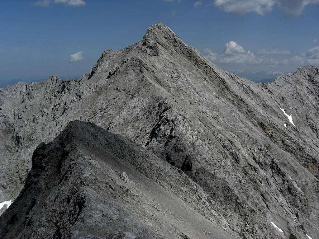
There are many strange and interesting names of summits throughout the Alps. Hochglück - the “High Luck” - should be among them. We mountaineers are always lucky when roaming our mountains, the higher the luckier. But, bad luck, Hochglück does not mean a special luck for you. It is an ordinary Karwendel mountain which means:
bad and loose rock, scree, sweat, no water.
And bad luck again: the word Hochglück does not derive from a special “high luck” you may get up there (e.g. deriving from some special dried mushrooms which you can smoke; old natives of the Alps still know about that).
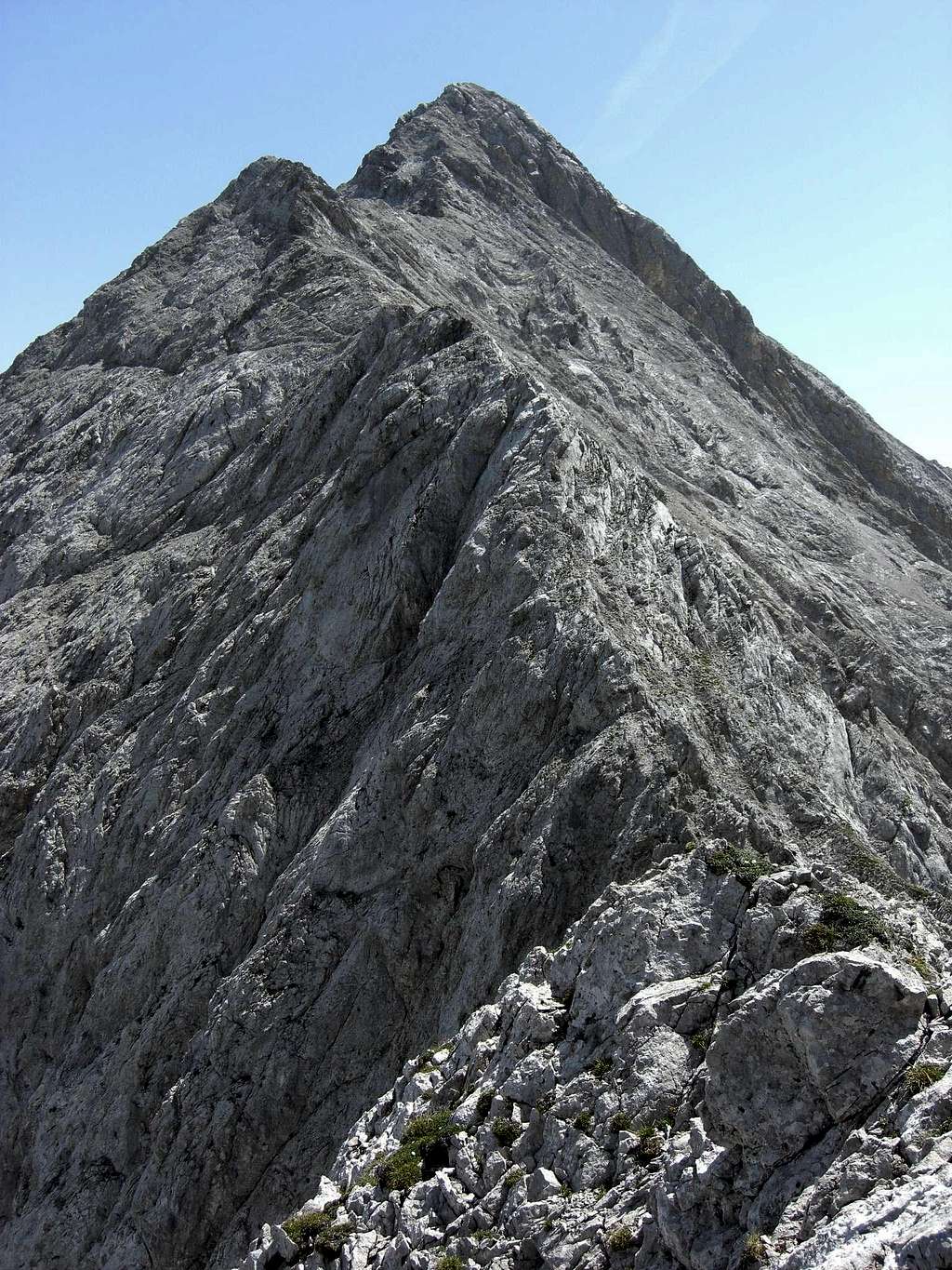
My guess for the origin of that name is: “Hoch Gelück” which means hohe Lücke, hohe Scharte, high col or high notch. There are indeed two high cols: Hochglückscharten (the high col notches, if you want) both west of the summit, both have to be traversed when climbing Hochglück via the west ridge, which is the normal summer route.
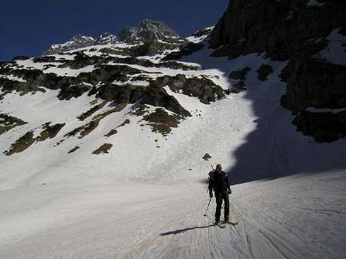
Hochglück col west is the starting point of the east ridge to Eiskarlspitze, too, the western neighbour of Hochglück and one of my favorite Karwendel summits. And: Hochglück col west is the end point of a famous springtime ski tour classic, traversing the beautiful and huge Hochglück cirque.
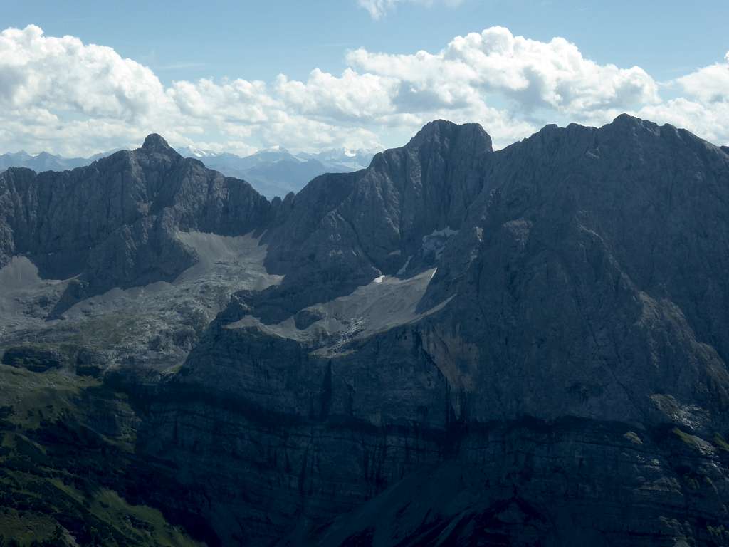
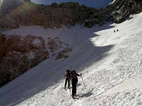
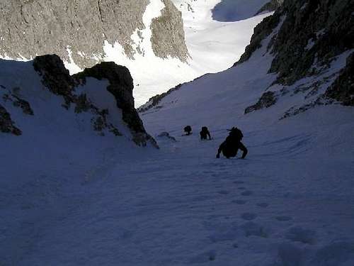
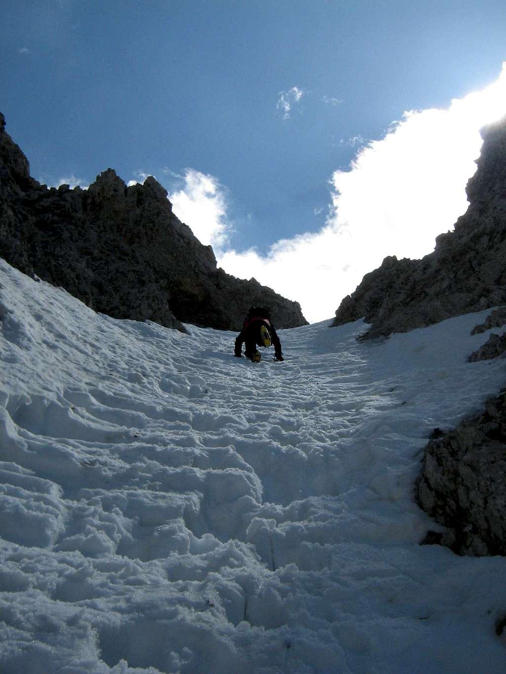
Few people do know that Hochglück summit has its ski route, too. It is, in my opinion, one of the most interesting and challenging ski tour summits within Karwendel ranges. You have to leave the above mentioned ski tour route to Hochglück col west and follow a hidden sub - cirque of Hochglück cirque up to the lower end of a steep chute (bad, bad, bad rock in summer, don´t even think about it) which leads endlessly up and up to the upper part of the west ridge. Breathtaking !
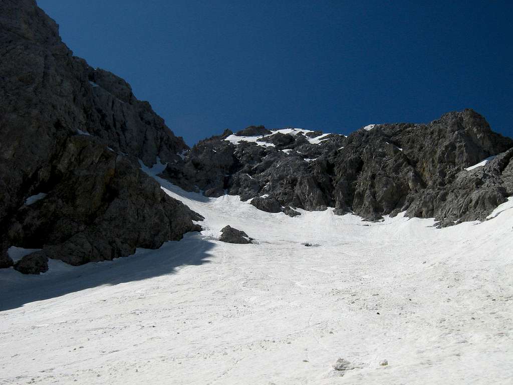
Some folks even ski down that chute - you have to be an outstanding skier for that because you should not fall: below the chutes end there are some fatal rocks waiting for you. I prefer stepping up and stepping down the chute with an ice axe and some solid crampons attached to my boots.
Advantage: on sunny spring days you will meet 200 skiers at the Hochglück col west and 2 people at the Hochglück summit.
In summer / autumn I recommend summiting Eiskarlspitze instead of Hochglück. The west ridge rock of Hochglück is so bad that you constantly fight with loose rocks, scree littered steep ledges and rockfall. Eiskarlspitze east ridge is ways better!
But if you must do the Hochglück west ridge: don´t depend too much on your luck, be careful with these rocks (the author knows, he did it once ....). There is a short route description in the Main Routes section below.
Hochglück was summited first by Hermann von Barth, the pioneer of mountaineering in the Northern Limestone Alps, on july, 16th,1870. He started at Eng valley, ascended via Hochglück cirque and was not sure wether to climb Hochglück notch west or Hochglück notch east to arrive best at the summit. He tackled the eastern notch, because he feared not to overcome the rock spire between the two notches. As we know today, this was the more difficult choice, the summer normal route overcomes this notch tower on its south side, which is an interesting but short climb with parts UIAA grade III in – astonishing enough, firm rock.
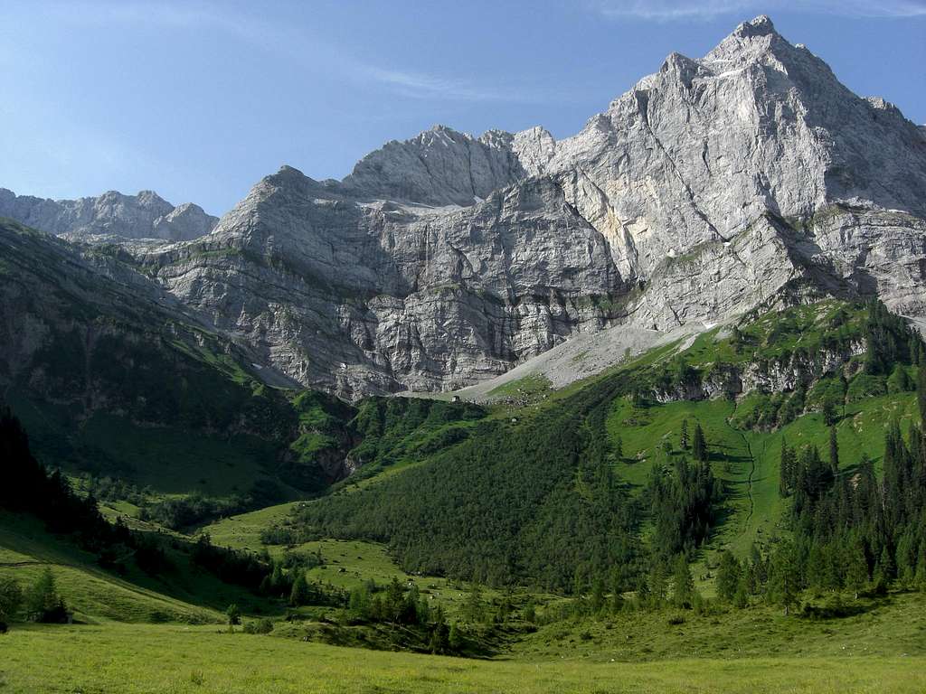
Ascending the east notch via the north chute Hermann von Barth made acquaintance with the bad and loose rock of Hochglück summit block:
“Die plattige, stufenarme Beschaffenheit des Felsens nötigte mich bald zum Anlegen der Eisen; die letzte, sich ins Gewände ausspitzende Schneezunge musste ihrer allzu starken Neigung und der Unsicherheit ihres Bodens halber – sie war an mehreren Stellen bereits eingebrochen – bald verlassen werden, in kurzen Zickzacklinien, auf den schmalen Mauergesimsen ein halbes oder Dritttheil Eisen einsetzend, arbeitete ich mich zur Höhe, die, erst ganz nah erscheinend, immer weiter von mir zurückrückte. Eine äußerst steile, mit losem, durch den Frost verkitteten Geschiebe angefüllte Runse, die gleiche, welche ich bereits unten im Kar wahrgenommen, bezeichnete mir die Anstiegslinie zum Grat. Haltlos und brüchig war hier alles Greifbare und unter der aufgewitterten Oberschicht der blanke, abgeschliffene Fels; wo immer der Arm einen vorspringenden Zahn erfasste, dem stets zurückgleitenden Fuße nachzuhelfen, da brach er aus der Wand wie ein Stück faules Holz, und ich hatte nur dafür zu sorgen, von dem abkollernden Getrümmer nicht getroffen oder gar mitgerissen zu werden. Gerassel, Gepolter und brenzliger Gestank um mich herum ohne Maß und Ende.“
(Hermann von Barth: Aus den Nördlichen Kalkalpen, page 442, bavarica Reprint im Süddeutschen Verlag, 1984)
(“The steep slabs without many holds forced me to put on my crampons” - (in these days climbs were made with sort of crampons to get more hold for he feet on steep rocky ground) – “ as I had to leave the uppermost snowfield due to its steepness and the incertitude of its firmness - some parts of it had already broken in - in short zigzags I hoisted myself up, looking for hold with parts of my crampons in small cracks, up to the height, which first seemed to be not far away but now seemed to back off. An extremely steep chute, the same I already investigated from the Hochglück cirque down below, filled up with frozen scree was the direct ascend to the main ridge. Frail and crumbly was everything seizable and under the eroded scree nothing but blank and polished rock; wherever the hand tried to get hold of a prominent rock to steady the slipping feet, it broke away like a piece of rotten wood and I had to worry about not to get hit or swept away by the falling rocks. Nothing but clattering, rumbling noise and burned smell around me.”)
He reached the summit after more hard struggle on the west ridge and descended on the south side of the mountain with great difficulty, traversed to the west and climbed the same day as another first ascend Eiskarlspitze. He descended again to the south and made bivouac in the dwarf pine zone with nothing but his clothes as blanket, his backpack as a cushion and some hard bread to eat.
But he enjoyed his first ascends of that day. Enjoy your climb to Hochglück likewise!
Getting There
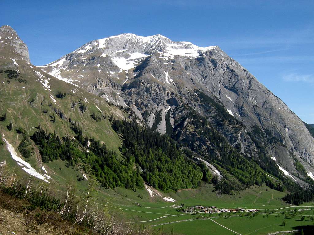
Main trailhead is Engalmen at the end of Eng valley.
You reach Eng valley by car
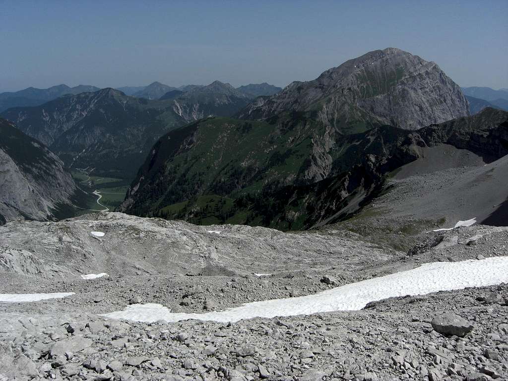
You can reach Eng valley from Munich by rail and bus, too. Check this possibility here..
The southern ascent via Vomper Loch to Hochglück is not done very often, difficult to find and a sort of epic. You reach Vomp
Main Routes Overview
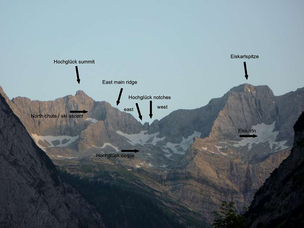
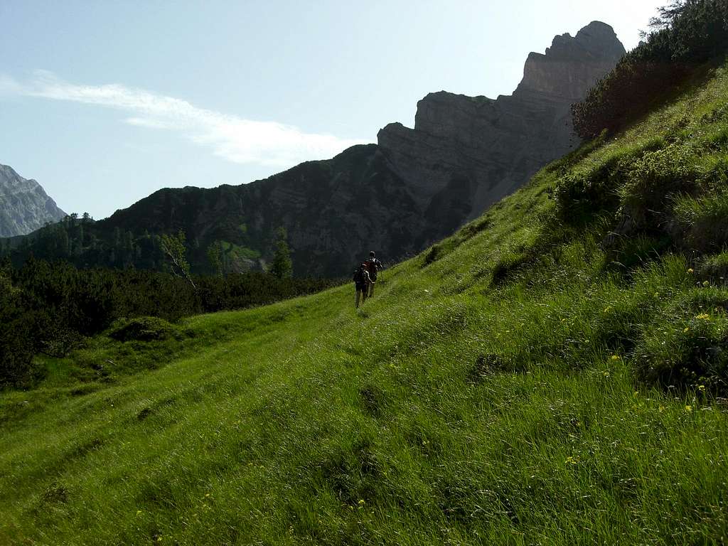
North ascent: Starting from Eng Almen go up to Kirchl, a remarkable rock feature below Eiskarln. From there a trail leads up to lower Hochglück cirque, where the trail disappears. Follow the rock outcrops up to the upper part of Hochglück cirque and the snow field.
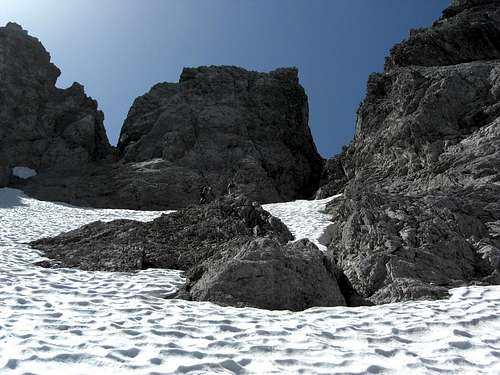
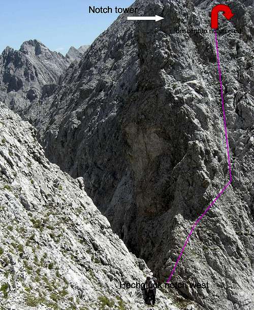
Climb the snowfield and aim to the right (western) chute which leads up to Hochglück notch west (UIAA grade I). At the notch turn left and climb up a chimney to a cairn. Traverse the notch tower and descend on firm rock to Hochglück notch east (UIAA grade II – III, belaying possible).
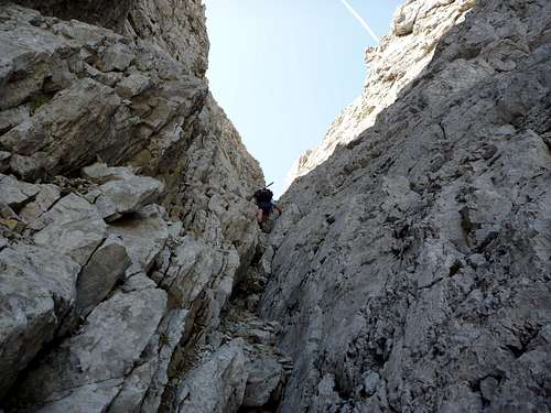
Alternatively climb down the south chute starting at notch west. Climb down a chimney at the lower end of that chute, gaining the so called “yellow chute” which leads up to Hochglück notch east. UIAA grade II, longer than the notch tower traverse and more loose rock.
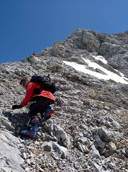
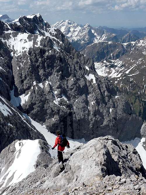
From the eastern notch follow the red chute up to the main ridge; follow the main ridge up to a level part some 50 meters below the summit. You can bypass some difficult parts of the main ridge crest on its south side.
From the level part go up to a scree filled chute in the north side and climb up that chute to the summit.
North chute: Ski route; leave the ski track, which mainly follows the summer trail, when arriving at the lower end of Hochglück cirque and bear left until you reach the lower part of the hidden eastern subcirque of Hochglück. Ascend that cirque to its upper end where the north chute ends. Climb the north chute (only advisable with good snow, otherwise very dangerous) up to the level part of the east main ridge. Follow the above mentioned scree chute to the summit. Ski depot normally is at the lower end of the north chute.
South ascent: From Vomp to the hunters cabin “In der Au” and on difficult and old hunter trails up to Ödkarln cirque south of Hochglück. From the uppermost northeastern part of Ödlkarln cirque climb up to a chute which leads up to meadow overgrown rocks. Straight up to the main east ridge and up to the summit. Not easy to find, difficult (UIAA grade II – III in mostly loose rock) hot, no water.
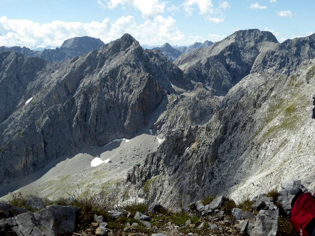
Traverse to Kaiserkopf; UIAA grade III, along the ridge crest to the eastern summit of Kaiserkopf. Kaiserkopf itself is a difficult rock climbing summit, the normal route is UIAA grade III.
Red Tape & Accommodation
Red Tape
Hochglück is part of the “Alpenpark Karwendel”, an important and strictly protected national park.
There is no entrance fee for the park but many regulations to follow.
There is a National Park Information Center at Hinterriß.
Information panels, starting at the parking area of Engalmen, show some interesting features of the Alpenpark Karwendel.
The road to Eng Almen is a toll road which is closed in winter and spring. Please refer to the internet when the road opens.
Accommodation
Camping is not allowed within Alpenpark Karwendel.
Motorhomes and caravans are tolerated at the parking area of Engalmen.
Food and lodging can be fount at
Mountain hut
Gear & Mountain Condition
Spring / ski tour
Hochglück summit ski ascent is for advanced ski hikers only. You need good snow conditions in the summit north chute which is normally from april to end of may.
For the ascent / descent of the very steep chute an ice axe and crampons can be very useful.
Only excellent skiers ski down the chute. Below the end of the chute there are some steep rock faces; this is why you should not fall when skiing down that chute.
If you are less experienced the more simple ski hike to Hochglück notch west is a good alternative.
Full avalanche gear is required for both routes.
Check the Tirol avalanche bulletin here.
Summer / autumn
All main normal routes to Hochglück require rock climbing up to UIAA grade II / III in parts. Belaying on the east ridge is difficult due to bad rock condition. You can belay at the notch tower which is the most difficult rock climbing part of the normal route.
Normally the routes are open by end of june.
Weather Condition
Valley weather Eng
Mountain weather Hochglück summit
Maps & Guide Books
Guide Books
Heinrich Klier, Fritz März, und Walter Klier
Karwendelgebirge. Alpenvereinsführer alpin: Ein Führer für Täler, Hütten und Berge. Verfaßt nach den Richtlinien der UIAA
Bergverlag Rother
2005
Bernd Eberle, Peter Mair, Mike Rutter, und Ralf Sussmann
Kletterführer Karwendel: Alpine Ziele & Klettergärten incl. Martinswand
Panico Alpinverlag
1. june 2004
Maps
Alpenvereinskarte
Karwendelgebirge, Mitte
Scale 1 : 25.000
Deutscher Alpenverein
February 2008
Alpenvereinskarte
Karwendelgebirge, Ost
Scale 1 : 25.000
Deutscher Alpenverein
December 2005


