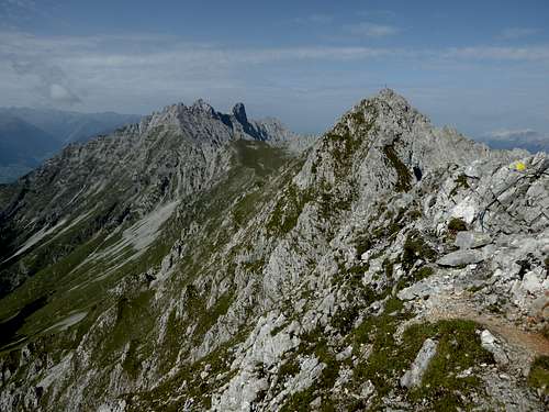
-
 2229 Hits
-
 79.04% Score
-
 10 Votes
|
|
Mountain/Rock |
|---|---|
|
|
Hiking, Mountaineering, Trad Climbing, Via Ferrata |
|
|
Summer, Fall |
|
|
8392 ft / 2558 m |
|
|
Overview
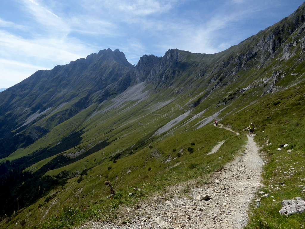
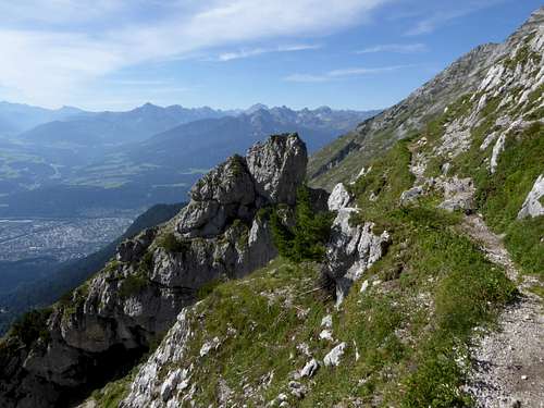
The peaks and summits of the Karwendel range north of the town of Innsbruck, called Inntal range or Nordkette (Nordkette = northern range, because it is located north of Innsbruck despite of being the southernmost Karwendel range) have more than 2000 meters of altitude difference from the valley ground to the top. It is difficult to reach those peaks in a one day climb. Only strong mountaineers climb that much. Thankfully there are some possibilities to shorten the amount of ascent meters. One of those is the Innsbruck Nordkette cable car. Three sections, from Innsbruck to Hungerburg, from Hungerburg to Seegrube and from Seebrube to Hafelekar mountain station, open up quite a bunch of those summits rising high above Innsbruck.
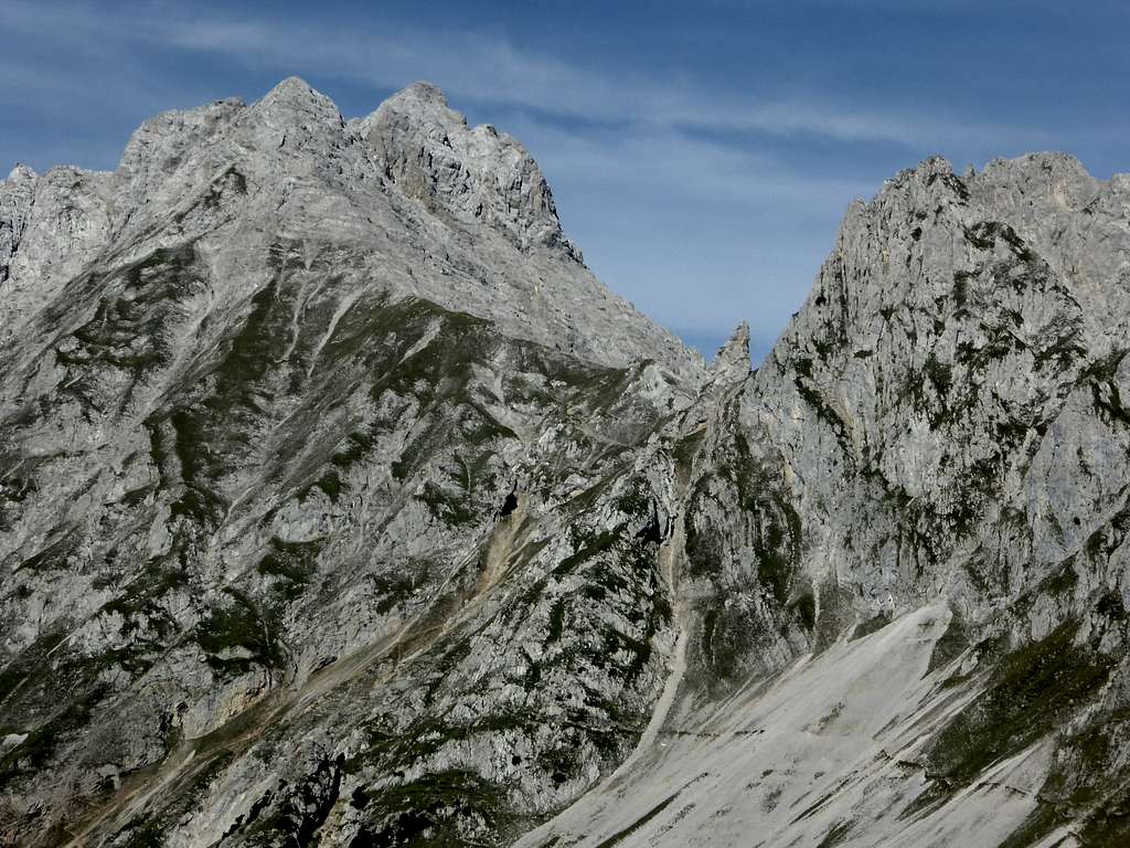
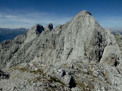
One of those is Vordere Brandjochspitze. There, too, is a Hintere Brandjochspitze, a peak “behind” our summit. But thats another story, see below.
Vordere Brandjochspitze is located west of an important col of the Nordkette, called Frau Hitt Sattel (Sattel = col). This Lady Hitt was, as the story goes, a rich and arrogant giantess woman living on green and rich fields where now the Karwendel ranges are. One day a poor woman knocked at the door of Frau Hitt and begged for some bread to eat. Frau Hitt gave her a stone instead. The poor woman cursed Frau Hitt and in a huge thunderstorm all the green fields were destroyed and changed into the huge and barren Karwendel ranges. The giantess is now a huge rock spire, sitting above the Frau Hitt col as a reminder not to be arrogant and avaricious.
There are some more complicated versions of this tale but I found this one the most impressive.
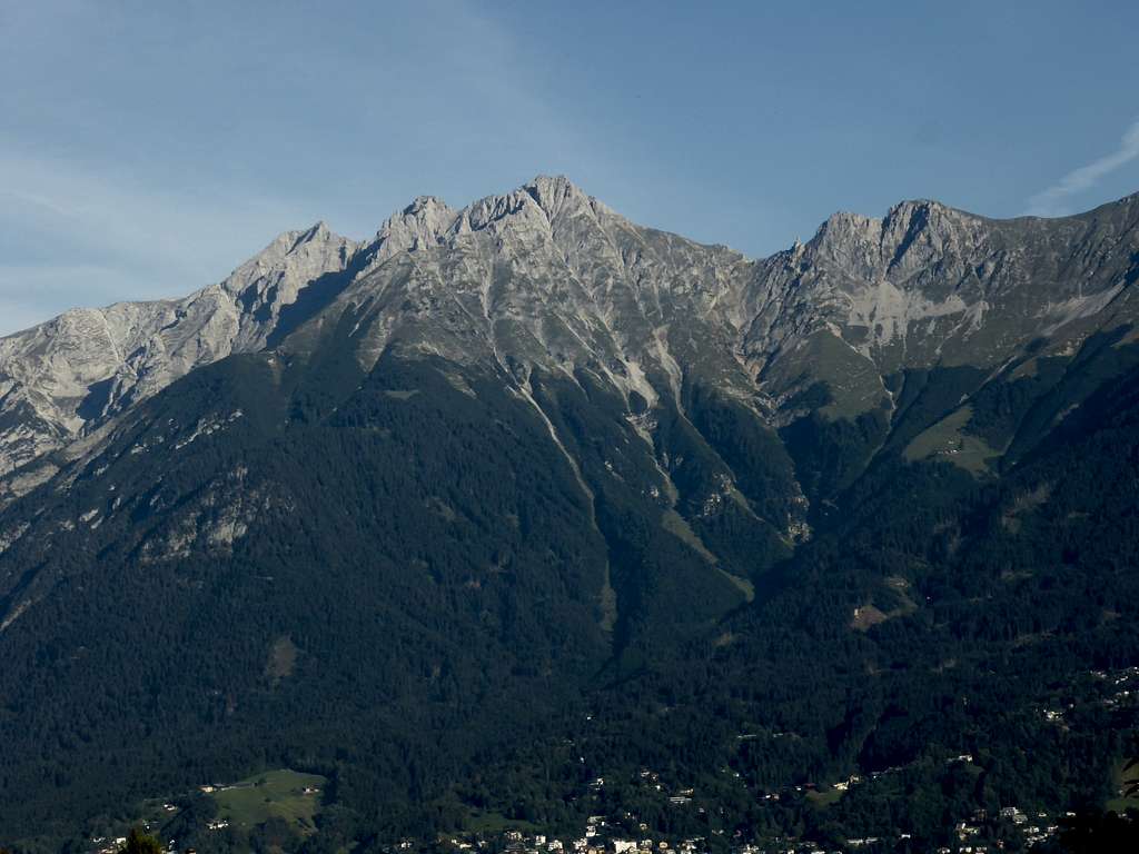
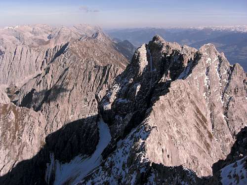
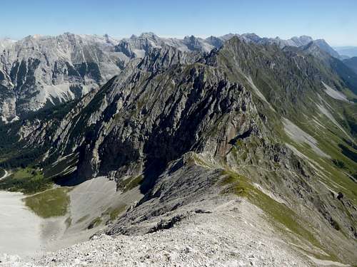
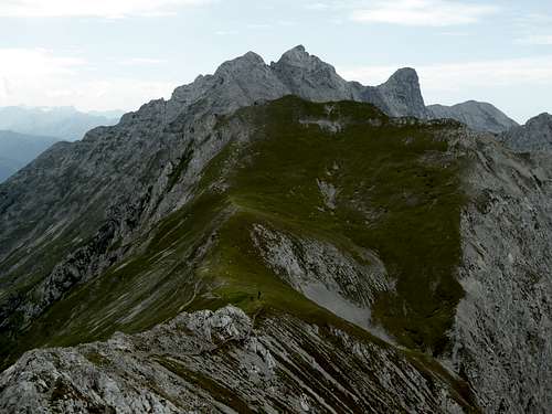
East of our summit looms a bit higher Hintere Brandjochspitze, followed by Hohe Warte and Kleiner Solstein, all high and remote Karwendel peaks. Vordere Brandjochspitze instead sees more visitors, due to three facts:
- you reach this summit quite easily from the Seegrube cable car station
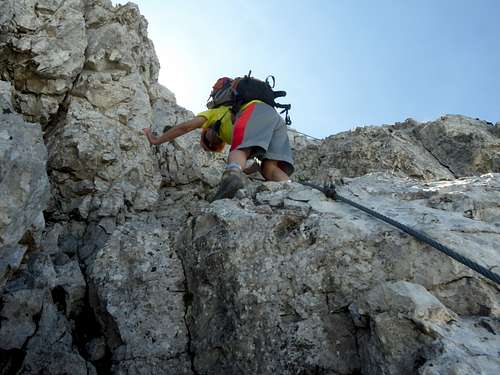
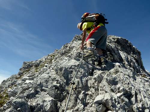
- you can use an easy but beautiful via ferrata, the Julius Pock Weg, to gain the summit
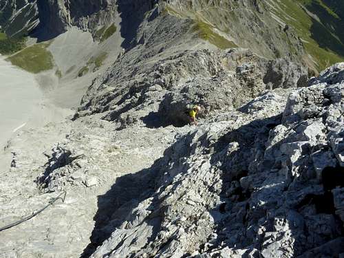
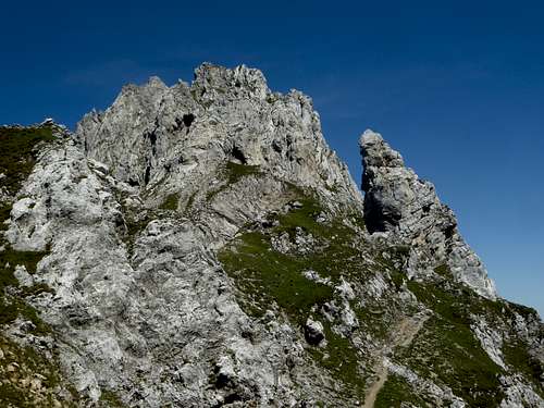
- the interesting south arete (two grade III moves, mostly grade I – II) is a highly entertaining climb and many combine it with a descent via Julius Pock Weg.
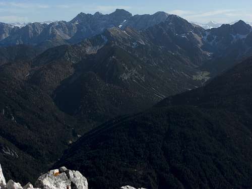
Most people will start from the Inntal side of the mountain, however the north approach, more uncommon, is an option, too. This route uses Gleirschtal valley, the valley north of the Innsbruck range and can be an epic bike and hike outing, testing your stamina, when done in one day. An overnight stay at Möslalm, however, can be another good option to stay longer in that remote and wild part of the Karwendel.
Getting There
The southern trailheads are:
- Seegrube cable car station
- Hungerburg
- Innsbruck-Kranebitten near the railway station

You reach Innsbruck by car
- via highway A 8, A 93 (Germany) and A 12 (Austria, toll road) from Salzburg or Munich direction or on A 12 coming from Landeck and western Tirol and Vorarlberg direction.
- Leave the highway at exit Innsbruck Mitte and proceed to Rennweg road for the first section of the Nordkettenbahn (the so called Hungerburgbahn) or follow the signs to Hungerburg, north of and about 200 m above Innsbruck center. Höhenstraße road leads you there.
- Check in to the second section to Seegrube.
- For the (long) ascent via Höttinger Alm park at the second section valley station at Innsbruck Hungerburg.
- For the even longer ascent from Innsbruck Kranebitten leave highway A 12 at the exit “Innsbruck-Kranebitten”. Cross the river Inn, go left onto road number 171 and immediately right onto road “Klammstraße”. This road goes up to the railway station of Kranebitten. Park your car where it is possible.
Public transportation
Best railway station is for shure Innsbruck central station. Bus number J serves Hungerburg trailhead and the cablecar valley station.
Kranebitten trailhead is at the railway station Innsbruck Kranebitten.
The northern trailhead is Scharnitz.
- Take highway A 95 and road B 2 from Munich to Garmisch-Partenkirchen, Mittenwald and the German / Austrian border. Turn left to Scharnitz center after the border and go left onto Hinterautalstrasse after the church. Proceed to the parking areas for Karwendel valleys (fee required).
- From Innsbruck or Landeck take highway A 12 to the exit “Zirl-Ost” and follow road number 171 to Seefeld and Scharnitz. Leave road number 171 and go to Scharnitz center and go right onto Hinterautalstraße in front of the church.
Scharnitz is a railway station. A short hike brings you to the trailhead Karwendel valley.
Routes overview
Routes overview
Topo of Vordere Brandjochspitze
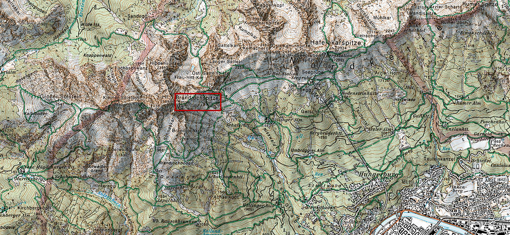
Southern routes:
Starting at Seegrube cable car station:
Go west and climb Grubegg, a south ridge, coming down from Kaminspitzen and hosting a ski lift. At its mountain station take the westbound trail level into the broad cirque below Kemacher. Take the upper trail at a first trail junction and the lower trail at a second one and follow it to the end of the Cirque. The trail starts to climb up steeply in zigzags in the direction of Frau Hitt Sattel. Some easy scrambling involved.
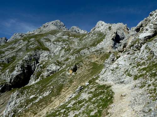
At Frau Hitt Sattel take the trail aiming to the east ridge of Vorderes Brandjoch, climb steeply up to a meadow ridge which soon gives way to scree. At the upper end of the scree fiels starts the easy via ferrata of Julius Pock Weg which goes straight up to the summit. The rock is easy, firm and is secured with excellent steel cables.
Starting at Hungerburg:
Follow the forest road to Umbrüggler Alm and beyond. Ascend the ski run on the Nisslsteig trail to Höttinger Alm (trail 215). Follow trail 215 in zigzags up to the Frau Hitt Sattel. Go on as described above.
South arete:
The south arete is nowadays a wellknown and rather easy climbing route. It starts at Brandjochkreuz, a subsummit of Vorderes Brandjoch at the end of the south arete.
- From Seegrube cablecar station follow the traverse trail to the west and the south to Brandjochboden and ascend steeply to Brandjochkreuz.
- From Höttinger Alm take the west- and southbound trail to Achselboden. Turn right and ascend to Brandjochboden and Brandjochkreuz.
- Many mountaineers choose the long ascent from Innsbruck Kranebitten and camp for a night (more or less illegally) at Brandjochkreuz. From Kranebitten railway station follow the road to Kerschbuchhof and the forest road and trail to mountain inn Rauschbrunnen, a beautiful place!. Take the trail to Aspachhütte hunters cabin and then the trail to Hohe Warte summit. At about 1950 m turn right at a sort of a memorial stone and traverse to the trail up to Brandjochkreuz.
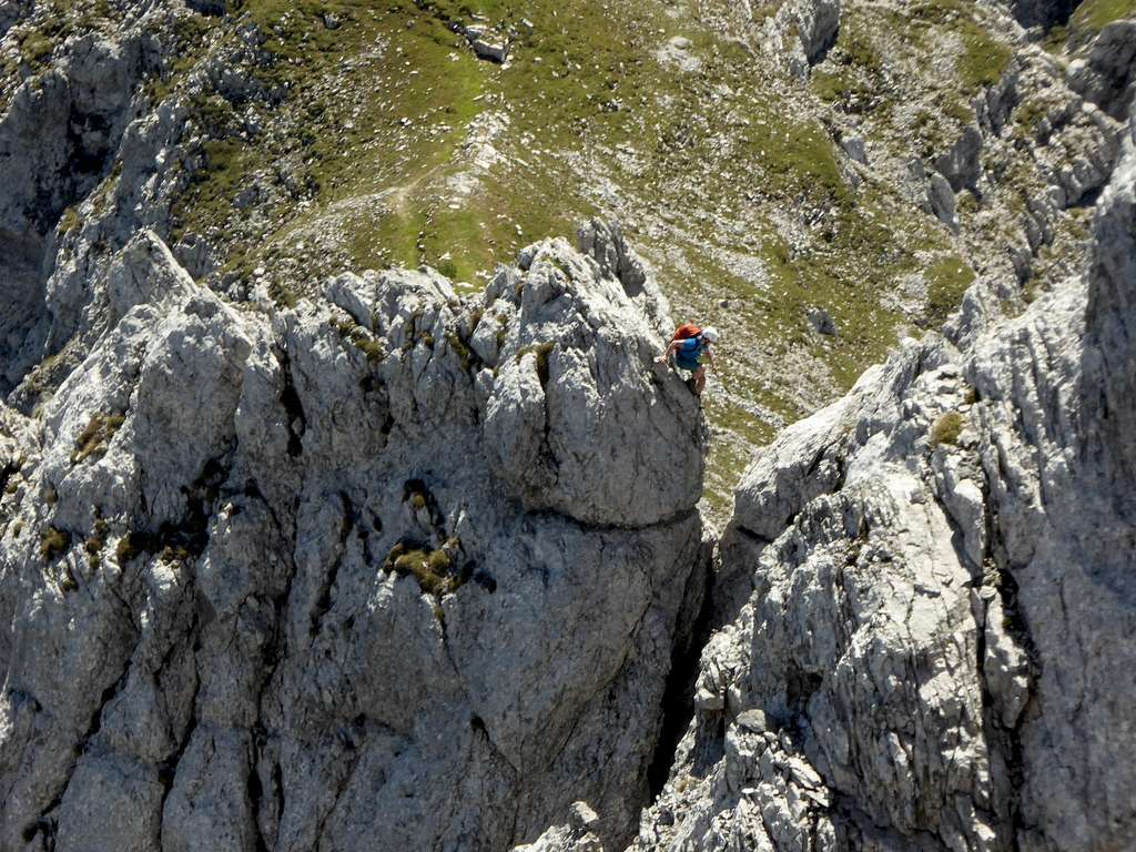
For the route see the following topo taken from www.bergsteigen.com
The route is marked with yellow dots and arrows. The most difficult part for many is a jump across a small notch, which seems to be a breathtaking thing.
South arete climbing topo:

Northern route:
Trailhead Scharnitz:
Follow the forest road into Isar valley. There is a road junction above the confluence of Gleirschbach and Isar. Take the right hand road which descends and crosses Isar and ascends until it reaches the mountain inn Amtssäge and shortly afterwards Möslalm, which offers drinks, foods and lodging. This is the bike route.
The hiking route leaves the forest road into Isar valley at the first footbridge across river Isar. Take the trail on the south side of Isar to the crossing of Gleirschbach and the beginning of the Gleirsch canyon trail. Follow the trail to its end – very impressive canyon – and then the forest road to Amtssäge and Möslalm.
Turn south at Möslalm onto a forest road and later on on a trail into Klein Kristental valley. At the end of the valley the trail climbs steeply up to Frau Hitt cirque and Frau Hitt Sattel. This is a very long approach but a lonely and remote one!
From Frau Hitt Sattel do as described above.
The traverse from Vordere to Hintere Brandjochspitze is possible if you master grade II terrain. However its bad rock and tons of loose scree. The route is not marked.
Red Tape & Accommodation
Red Tape:
Vordere Brandjochspitze belongs to the Alpenpark Karwendel, an important and strictly protected national park.
There is no entrance fee for the park but many regulations to follow.
Please respect the following rules of the National Park:

Accommodation:
Mountain huts:
Cable Car:
Gear & Mountain Condition
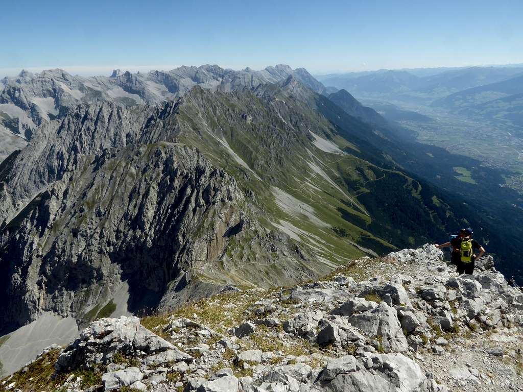
Vorderes Brandjoch is a summer and autumn undertaking.
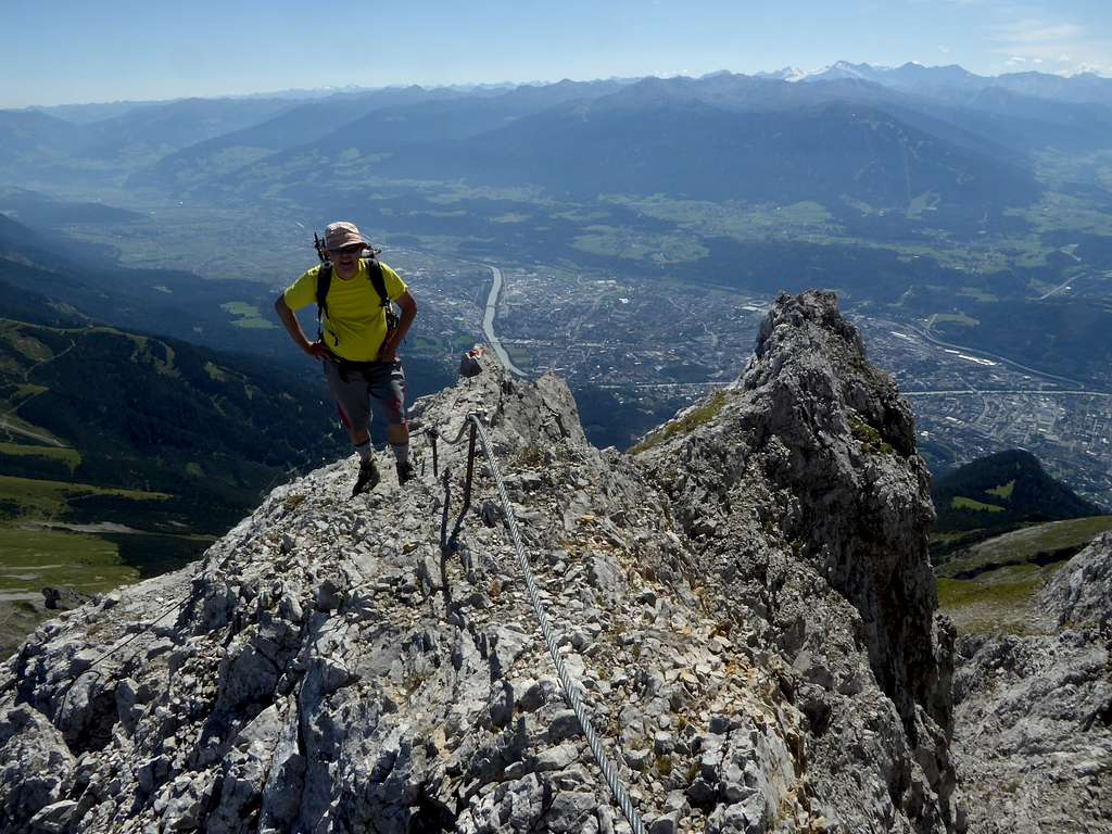
The normal route via Julius Pock Weg, an easy via ferrata, rated A/B, requires a helmet and, if you feel unsecure, the via ferrata self belay kit. Gloves for the steel ropes are recommended.
The south arete requires climbing skills up to grade III. A helmet is a must. If you need belaying, bring a 50 m rope and some slings and quickdraws.
Weather condition
Weather overview
Valley weather
Mountain weather
Maps
The best map is:
Alpenvereinskarte, scale 1 : 25000
number 5/1, Karwendelgebirge, Westliches Blatt
which covers the western part of the Karwendel ranges.
Alpenvereinskarte, scale 1 : 50000
number 31/5, Innsbruck
