-
 354 Hits
-
 76.66% Score
-
 7 Votes
|
|
Mountain/Rock |
|---|---|
|
|
Hiking |
|
|
Spring, Summer, Fall |
|
|
6637 ft / 2023 m |
|
|
Overview

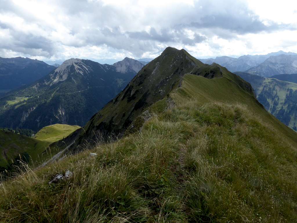
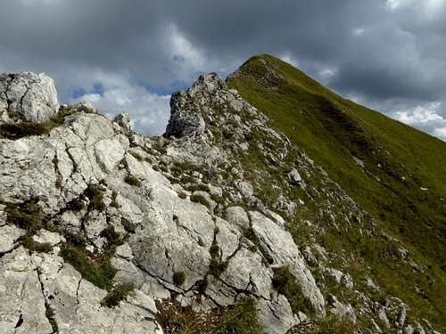
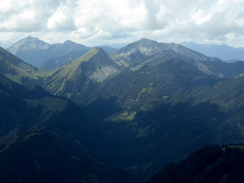
The Pre-Karwendel ranges and ridges include many interesting hikes and traverses, many of them lonely and quiet. This is the case with Schreckenspitze, which is the highest peak of the mainly north – south running ridge from Demeljoch to Hohe Gans. This ridge is bordered by the well known and frequented valley of Achenkirch and Achensee lake to the east. Despite of this touristic hot spot, Schreckenspitze is not a very well known and therefor lonely summit. The crown of the most frequented summit within this ridge clearly goes to Juifen, a year round easy hike and ski or snow shoe tour.
To the west of Schreckenspitze is located the remote Bächental valley, which comes up from the dammed lake of Sylvenstein and ends at Schleimssattel south of Schreckenspitze.
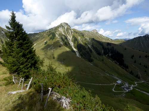
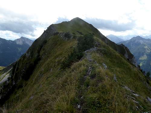
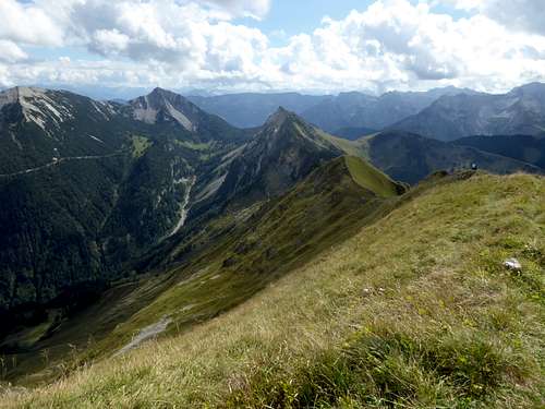
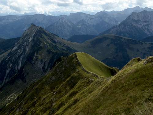
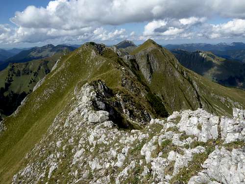
Our summit is a long and sharp meadow and rock ridge, the adjacent summits are Sonntagsspitze to the north, the first bump of this ridge south of Gröbner Hals col and Hohe Gans, Rote Wand and Juchtenkopf at the southern end of this ridge, three minor summits. A secondary summit north of Schreckenspitze is called Moosenspitze in some maps; to call that bump “summit” is a bit far-fetched in my opinion.
East of Schreckenspitze and separated from the main ridge with a col is located Christlum, the well-known ski area of Achenkirch.
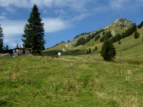
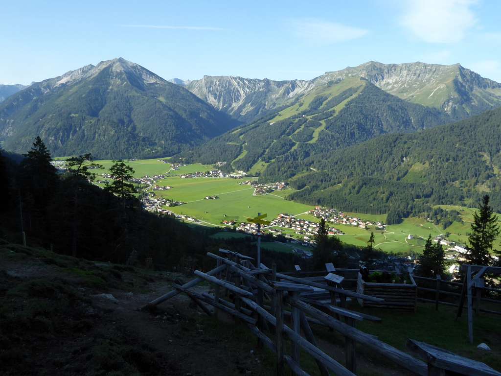
Schreckenspitze is easily accessible from Achenkirch – why this nice summit still is a lonely and less frequented one – I don´t know. But it´s a good thing to find such a lonely hike in the vicinity of overcrowded Achenkirch valley …….
Getting There
Trailheads for Schreckenspitze are:
- Achenkirch, hiker parking area “Seealm”
- Fall / Sylvenstein lake for bike and hike, hiker parking area Fall
Both trailhead parking areas require a day fee.
Approach to Achenkirch by car:
- From Munich area use highway A8 to exit “Holzkirchen” and road number B318 to Tegernsee/Rottach-Egern and B307 to the Achensee border. Proceed on Austrian road number 181 to the exit "Achenkirch" and follow the signposts to “Christlum Hochalmlifte” cablecar. The Seealm hiker parking area is 200 m northwest of the cablecar valley station.
- From Rosenheim / Kustein / Innsbruck / Landeck region go on Austrian highway A12 (toll road) to exit “Wiesing”. Take road number 181 up to Maurach and proceed along the beautiful Achensee lake to exit “Achenkirch”. Follow the signposts to “Christlum Hochalmlifte” cablecar. The Seealm hiker parking area is 200 m northwest of the cablecar valley station.
Public transportation to Achenkirch:
- Next Austrian railroad station is Jenbach. Take bus number 4080 to Achenkirch Christlumlifte busstop.
- Next German railroad station is Tegernsee. Take bus number 9550 from there to Achenkirch Christlumlifte busstop.
Approach to Fall by car:
- From Munich area use highway A8 to exit “Holzkirchen” and road number B318 to the village of Holzkirchen. Go on road number B13 to Bad Tölz, Lenggries and proceed to Fall.
Public transportation to Fall:
- Next railroad station is Lenggries. Take bus number 9569 from there to Fall busstop.
Oil Shale Mining
The area around Schreckenspitze, the Tiefenbachalm area to the west and the Gröbner Alm area to the east, is a former oil shale mining area.
The Karwendel oil shales are bituminous sediments embedded in the late Triassic Hauptdolomit, which was built in a huge lagoon. Within this former huge lagoon along the south shores of old Tethys ocean organic material accumulated in certain zones and later was transformed in oil shales by orogenetic processes. In medieval times people discovered that this strong smelling stone contains an oil which can be used for wound healing.
In former times people called this stone oil “Dirschenöl”, a name which refers to an old tale of Karwendel valleys:
“Long, long ago, a giant named Haymon from the Rhine valley came wandering into Inntal valley. He had a huge built and was much, much stronger than any other inhabitants of the area, with the exception of a second giant, called Thyrsus, who inhabited the area of nowadays Seefeld/Tirol.
As Thyrsus heard about the arrival of Haymon anger caught his best as he would not tolerate another giant as rival. He plotted to chase Haymon away. Haymon, too, heard about Thyrsus and his plans to fight him. Furious about that, he followed the river Inn upwards. Behind the village of Zirl at the hamlet of Dirschenbach (!) they met. Haymon attacked Thyrsus with his sword, Thyrsus, taken by surprise, pulled a birch tree out of the ground to defend himself.
Mountains and valley reverberated from the fierce battle between the two equal strong giants, trees in the woods quivered down to the deepest roots. Suddenly Haymon delt a heavy blow at the heel of Thyrsus and blood poured out of this deep wound.
Thyrsus fled into the deep and remote valleys of Karwendel and lost much of his blood which seeped away into the stones. Many years later people discovered the blood of Thyrsus as Dirschenöl or stone oil and used it as remedy for men and animals.”
The oil shales are rather widespread in the Seefeld region. Many years ago I foud a fossilized fish in the shales near the summit of Reiterspitze, where those shales reach a layer thickness of several 10 meters. Smaller outcrops can be found everywhere within the Karwendel ranges.
Tiroler Steinöl still is in use as remedy for rheumatic afflictions but also for wellness application.
Routes Overview
Schreckenspitze topo
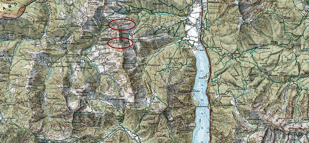
Schreckenspitze routes overview
Trailhead Achenkirch, hiker parking area “Seealm”
- Follow the Unteraubach forest road up to Hochstegenalm and Gröbner Alm and take the trail to Gröbner Hals col.
- Turn left and follow the steep and in parts secured trail up to Sonntagsspitze.
- Follow the ridge crest trail in southern direction to Schreckenspitze summit.
- Descent as ascent.
- Alternative descent 1: From the summit follow off-trail the ridge until south of point 1972 m. Leave the ridge off-trail in eastern direction and descend to Bergalm hut. Take the trail down Schreckenbach valley until you reach the Unteraubach forest road to the hiker parking area
- Alternative descent 2: climb Christlum Kopf shortly above Bergalm hut and descent the forest roads to Christlum cable car parking area and to the nearby hiker parking area.
Traverse route
- Follow the ridge from the summit in southern direction until you reach the summit of Hohe Gans and Rote Wand. This is in part bushwacking within dwarf pines. I did that once many years ago and I had to descend several times on the west side of the ridge to avoid dense dwarf pine zones and regain the ridge through steep meadow and rock chutes. Nothing difficult but exhausting.
- Navigate on its west side around the steep red rock face south of Rote Wand and descend off-trail from the col between Rote Wand and Juchtenkopf eastwards to Pasillalm huts.
- Follow the forest road down to Achenkirch / Scholastika.
- From there it’s a 2 km walk on valley roads back to the Seealm parking area. Long and epic day.
Trailhead Fall / Sylvenstein lake
- Bike along the forest road starting at Fall parking area into Bächental valley, passing by Forsthaus Aquila (closed) until you reach Tiefenbachalm Niederleger huts.
- Take there the left-hand forest road and bike or hike to Tiefenbachalm Hochleger and the old mining area of oil shales.
- A trail leads you up to Gröbner Hals col. Turn right there and ascend the steep and in parts secured trail to Sonntagsspitze.
- Follow the ridge crest trail in southern direction to the summit.
Red Tape & Accommodation
Red Tape
Schreckenspitze is part of the Naturpark Karwendel, a huge protected national park.
There is no entrance fee for the park but many regulations to follow.
Please respect the following rules of the National Park:

Accommodation
All sort of accomodation can be found at
Fall
Mountain huts
None
Gear & Mountain Condition
Schreckenspitze is a spring, summer and autumn hike as long as there is not much snow.
The marked trails are in some parts steep, a bit exposed and below Sonntagspitze secured with some steel cables (some UIAA grade I moves). There are no difficulties for an experienced hiker with good shoes and normal hiking gear.
The traverse to the south (Hohe Gans, Rote Wand) or the descent via the east slopes are off-trail undertakings which require sure footedness. The traverse can be an epic undertaking especially on hot days.
No ski tour routes to the summit as far as I know.
Weather condition
Valley weather Achenkirch
Mountain weather Schreckenspitze
Maps
For those who are physical map addicted there are three good maps needed to cover the whole area:
Alpenvereinskarte, scale 1 : 25000
map number 5/3, "Karwendelgebirge Östliches Blatt"
with trails and UTM grid
Alpenvereinskarte Bayerische Alpen, scale 1 : 25000
map number BY12, "Karwendelgebirge Nord, Schafreiter"
with trails, ski routes and UTM grid
Alpenvereinskarte Bayerische Alpen, scale 1 : 25000
map number BY14, "Mangfallgebirge Süd, Guffert, Unnütz, Juifen"
with trails, ski routes and UTM grid
