|
|
Mountain/Rock |
|---|---|
|
|
39.31515°N / 106.43215°W |
|
|
Lake/Pitkin |
|
|
Mountaineering |
|
|
Summer |
|
|
12893 ft / 3930 m |
|
|
Overview
Galena Mountain rises to the west of the town of Leadville in the northern parts of the Sawatch Mountains of central Colorado. It is well-visible from Turquoise Lake, a large water reservoir that sits at an elevation of 9869 ft.
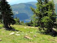
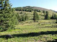
The eastern slopes of Galena Mountain are steep and wall-like. To the southeast, the slopes drop down to a 11800 ft basin that houses St. Kevin Lake. The southern and western slopes of Galena Mountain are very gentle and can provide easy access to its summit.
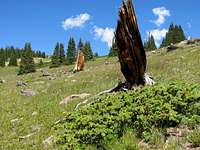
A small portion of the 500 mile long Colorado Trail (that goes from Denver to Durango) climbs the lower parts of the southern slopes of Galena Mountain. The trail can be reached from a spot near Turquoise Lake. You can follow the trail through a dense forest to an elevation of 11300 ft where you will gain access to the beautiful grassy and gentle southern slopes of Galena.
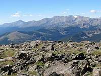
From the summit and the southern slopes of Galena Mountain, you will have great views of Colorado’s first and second highest peaks; Mt. Elbert and Mt. Massive. Turquoise Lake, Arkansas River Valley and many other peaks will also be in good view.
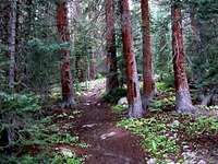
In the Forest on Colorado Trail:
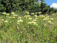
Forest Undergrowth:
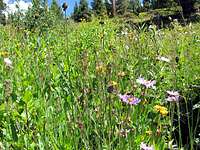
Meadows on Colorado Trail:
Grassy Slopes:
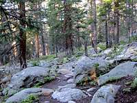
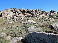
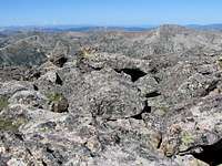
Boulder Fields:
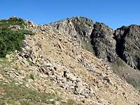
East Face of Galena:
St. Kevin Lake:
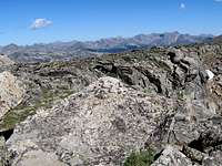
Views From the Summit:
Getting There
From the intersection of US Route 24 and 6th Street in Leadville, turn west onto 6th Street and follow it to the end of it at the intersection with McWethy Dr. Turn right onto Mcwethy Dr. The street becomes “Turquoise Lake Road”. Drive over the dam on the southern end of the lake and continue to drive the road on the south side of the lake to reach a hairpin at the extreme west end of the lake. You will see a sign for Timberline Lake Trail or Colorado Trail. Park at the parking area. Distance from Leadville is probably 10 miles or less.Red Tape
No fees but since the trail goes through the Holy Cross Wilderness, you must self register at the trailhead and carry a copy of it with you.For other regulations see:
San Isabel National Forest.
Holy Cross Wilderness.
Weather
See weather for the nearby town of Leadville.Leadville Forecast.


