|
|
Mountain/Rock |
|---|---|
|
|
39.54310°N / 106.1201°W |
|
|
12933 ft / 3942 m |
|
|
Peak 1 & Tenmile Peak Overview
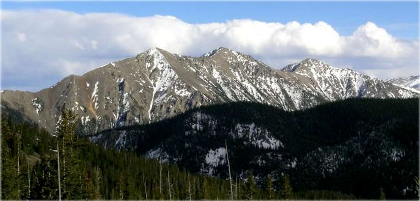
The Tenmile-Mosquito Range consists of two linear sub-ranges that run north south, starting just west of Dillon Reservoir. The Tenmile Range's northern spur is the town of Frisco located on I-70 and runs south 12 miles to Hoosier Pass. The popular ski town of Breckenridge resides in this area. The Mosquito Range's northern spur begins at Hoosier Pass and continues south to Trout Creek Pass on U.S.285.
The Mosquito Range is home for some of Colorado's most popular 14,000 ft. peaks such as Quandary, Lincoln, Democrat, and Bross. Considering the proximity to the metro area (Denver is about 1.5 hrs. away) the Tenmile Range is sometimes overlooked in favor of the modest forteeners just south of Hoosier Pass. Although plenty of high altitude mining has left an obvious scar, the flip side is all the old roads and climber's trails left behind for all of us to enjoy.
Old Glory, flapping in a gentle breeze, met us on a dramatic summer morning on June 19, 2004 on the summit of Peak 1, near Frisco, Colorado. The flag was placed on the mountain after the 9-11 attacks. Some creep(s) burned it down, which was immediately noticed from below. The flag was replaced promptly. What great symbolism in this picture! Mountain climbing is the epitome of freedom, and atop this great mountain, our great country's flag flies proudly, even in the face of adverse conditions, holding true to the nation it represents!
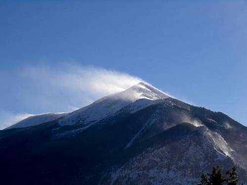
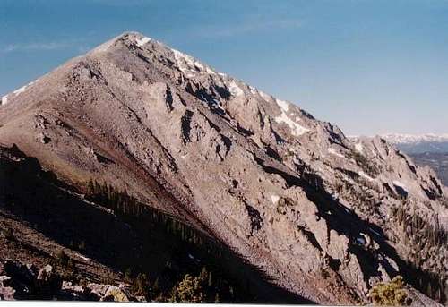
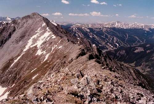
Overlooking Officers Gulch on I-70 and the Dillon Reservoir area, Peak 1 (12,805 ft.) and Tenmile Peak (12,933 ft.) stand tall, and loom over the town of Frisco. These two pyramid-shaped peaks are obvious landmarks when descending west on I-70 from the Eisenhower Tunnel. The summits of Peak 1 and Tenmile Peak are secure from route variation; both the west face and east face are extremely steep and loose. To get to Tenmile Peak, you have to hike over Peak 1. Therefore there is only one reasonable route, the north ridge route that starts at the base of Mount Royal.
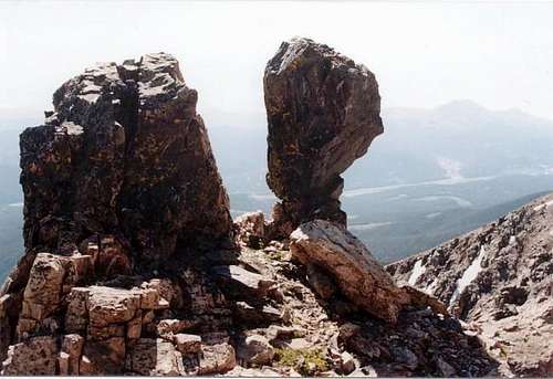
If your goal is Peak 1 expect about 8-miles and 4,100 ft. If your goal is Tenmile Peak, be prepared for a 10-miles and close to 5000 ft. of vertical gain; a long day. The hike is class 1 up to the Mount Royal and class 2/2+ to Peak 1. Expect class 2+ and a few easy class 3 moves on the ridge between Peak 1 and Tenmile Peak.
Mount Royal is more like an overlook than a mountain and it happens to be a popular place for locals. The objective is to follow the steep Mount Royal Trail as it escorts you to the crest of the north ridge. Going forward, just stay on the ridge crest and follow it to both summits.
Getting There
Descending I-70 from the Eisenhower Tunnel take your first exit to Breckenridge. There is a round-about here. Take Colorado 9 south to the town of Frisco. Turn right on Main St. and follow it all the way past Madison Ave. The parking area is on the left just past Madison Ave.
Mountain Conditions
The Colorado mountains are famous for their thunderstorms. Often the day starts with blue sky and by late morning the clouds begin to quickly build. By early afternoon the sky turns gray and clouds thicken. Suddenly it begins to rain and lightning. If you are on an open ridge or exposed in an alpine meadow above tree line, lightning can be lethal. The idea here is to have rain gear and wear clothing that dries quickly.
When planning an adventure above tree line, experienced hikers will routinely arrive at the trailhead before sunrise. The idea here is to be off the summit by noon.
Sometimes bad weather arrives too fast, emerging from behind a nearby peak. If you are unlucky and your caught in a lightning storm, crouch in a dry spot near something higher than yourself and do no touch the rocks around you. Summer storms are often very short and with a little luck they will quickly move on. The idea here is to keep a watchful eye on the sky and leave the high country as soon those blue patches of sky begin to disappear.


Kruck - Jul 28, 2008 11:02 am - Voted 10/10
No flag 7.26.08While Old Glory looks impressive in the picture on this fantastic SP page, I must report that the flag is no longer standing at the top of Peak One as of July 26, 2008. There is some kind of small antenna structure at the summit, and a large chunk of lumber, but no Stars and Stripes.