-
 409 Hits
-
 77.48% Score
-
 8 Votes
|
|
Mountain/Rock |
|---|---|
|
|
47.41763°N / 11.54519°E |
|
|
Mountaineering, Skiing |
|
|
Spring, Summer, Fall, Winter |
|
|
8045 ft / 2452 m |
|
|
Overview
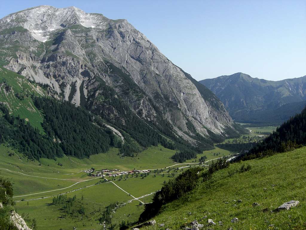
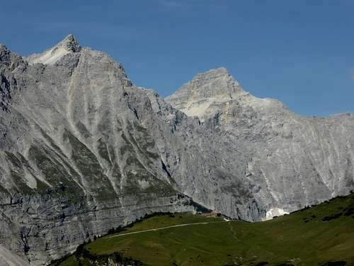
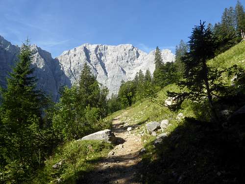
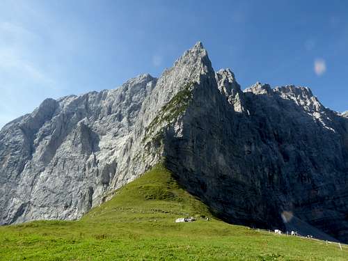
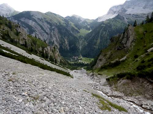
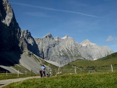
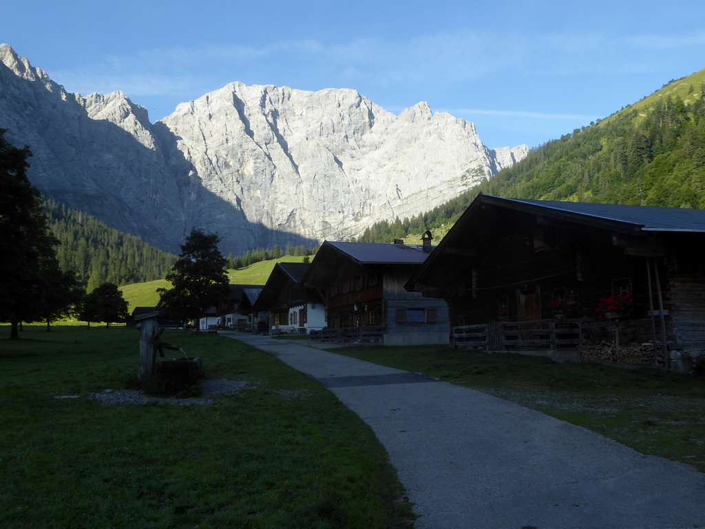
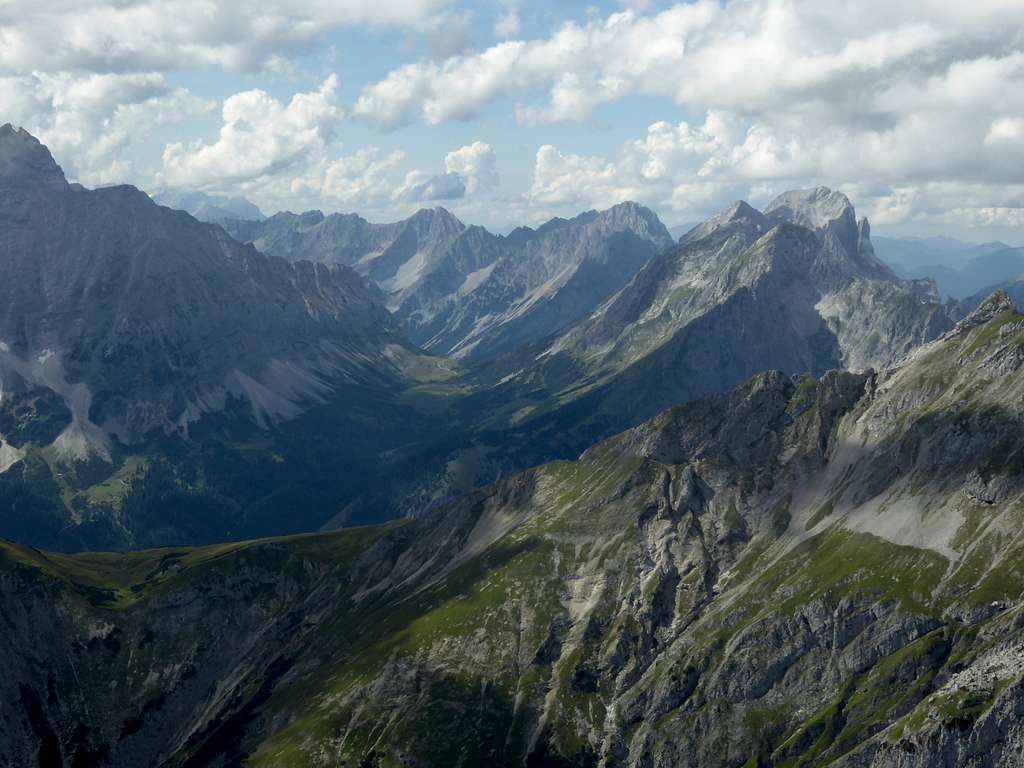
Upper Eng valley is, in my opinion, the most spectacular valley of Karwendel and for sure among the most spectacular ones in the Alps. At the valley end to your left the steep rock slopes of Schaufelspitze and Sonnjoch are rising high into the sky. In front of you is the immense rock wall of Hochglück, Eiskarlspitze, Grubenkarspitze and the Laliderer summits, blocking your way to the south.
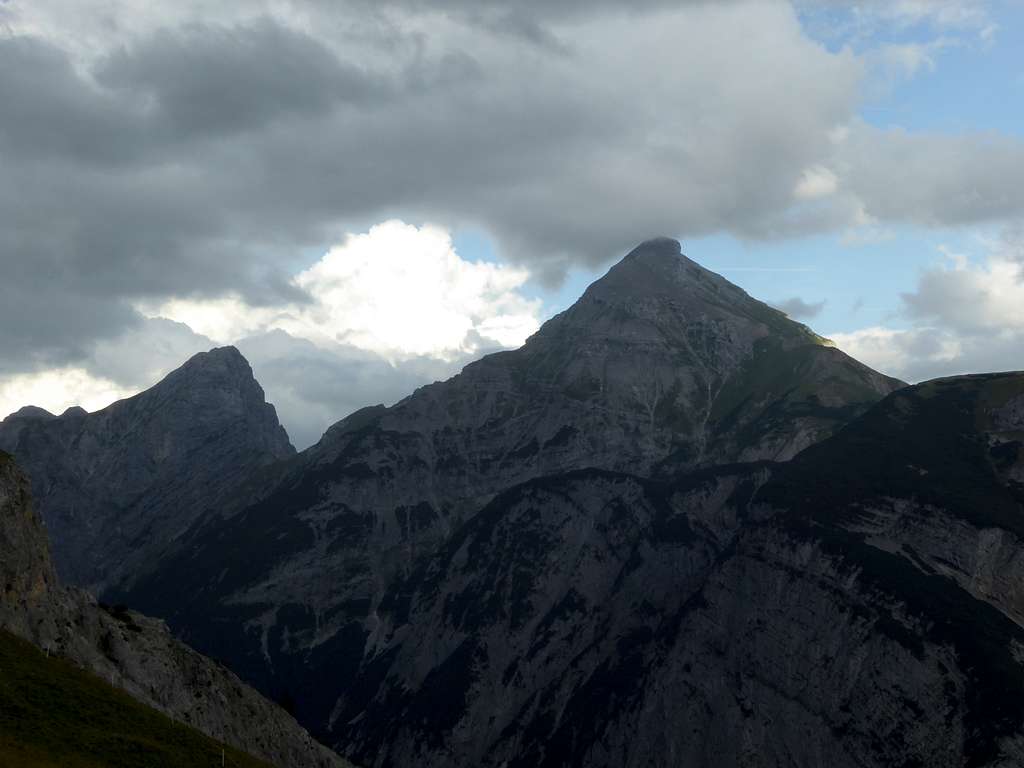
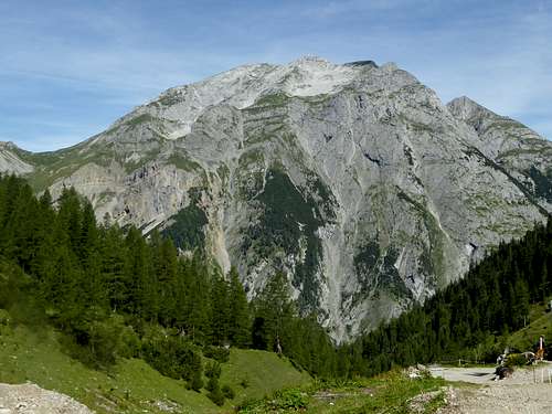
And to your right is rising proudly – Gamsjoch.
After having summited Gamsjoch in autumn 2023 – the fourth ascent of mine – I was quite astonished, that this beautiful and easily accessible summit of Karwendel has no page on SummitPost yet. This has to be changed.
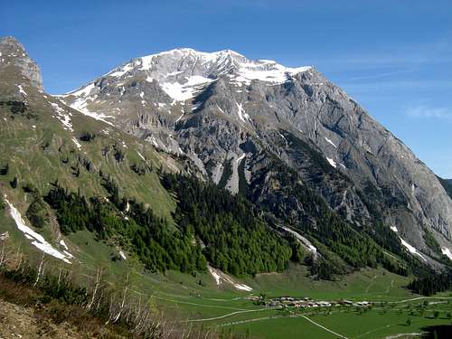
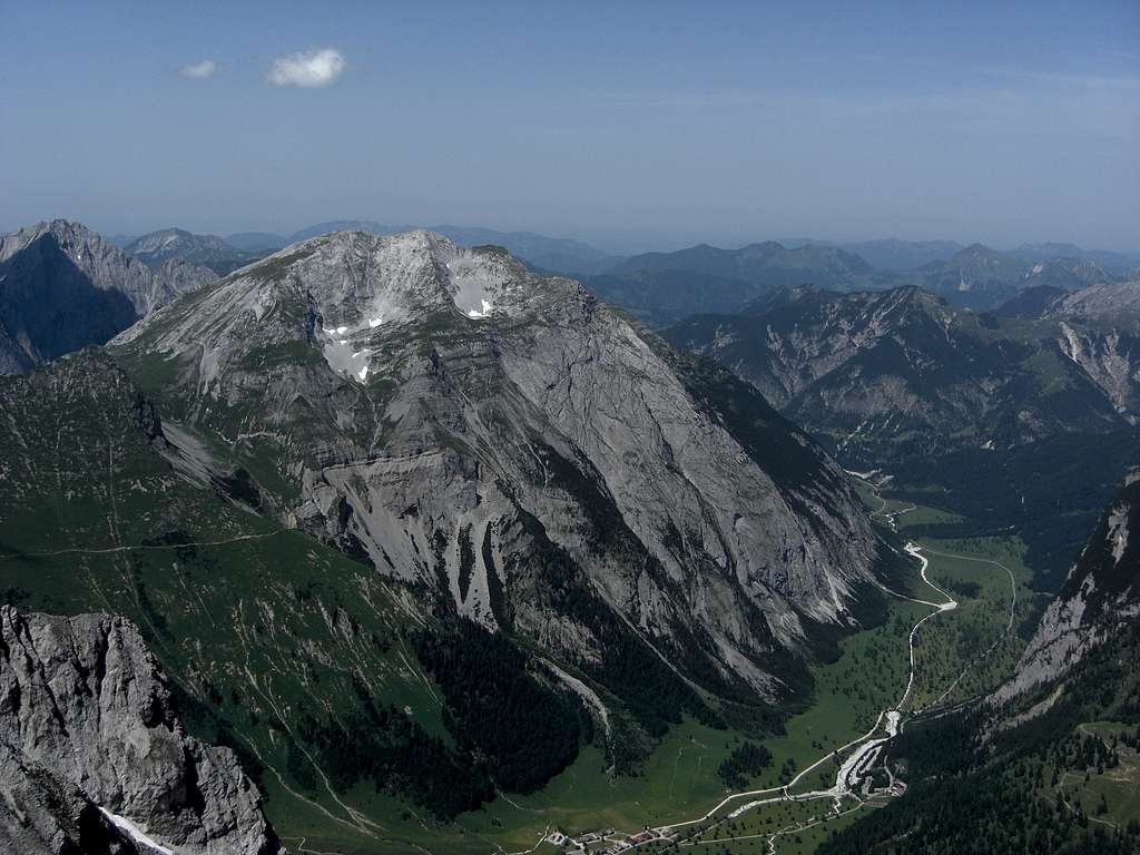
Gamsjoch is standing like a sentinel at the valley bend of Eng valley from a more east-west to a southern direction. It stands highly above this bend and builds a small Karwendel area of its own – bordered to the north and the east by Eng valley, to the west by Laliderer valley and linked in the south to the Laliderer Spitze by Hohljoch col. Some minor but nevertheless interesting summits are part of this small subgroup; from south to north there are Teufelskopf, Gumpenspitze (two summits quite easily to be bagged together with Gamsjoch) and, north of Gamsjoch summit, Ruederkarspitze. At the very northern end of this subrange is located Roßkopfspitze, a minor and remote summit.
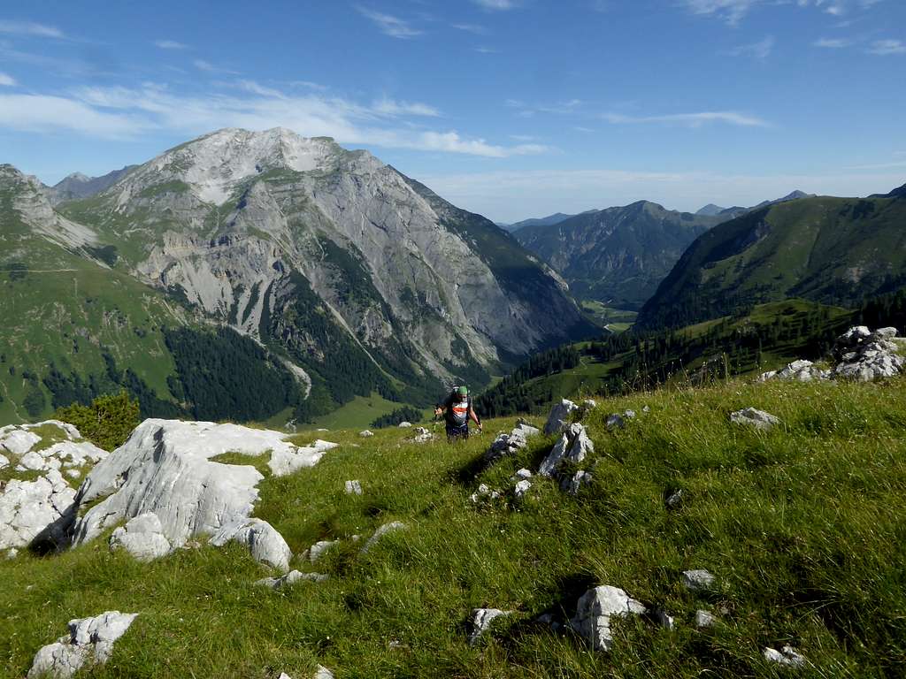
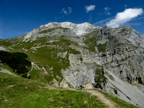
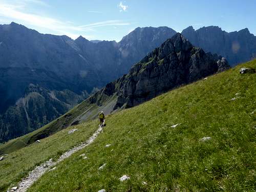
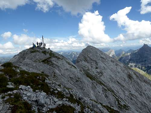
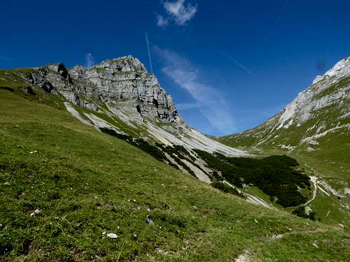
Gamsjoch is a huge, massive rock but its south side is the soft spot of the mountain; a not very difficult and marked trail, in some parts secured with iron ropes, winds itself up from Gumpenjöchl to the west summit. The main and the lower east summit can be reaches on a small trail with some rock scrambling involved.
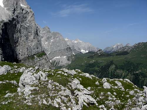
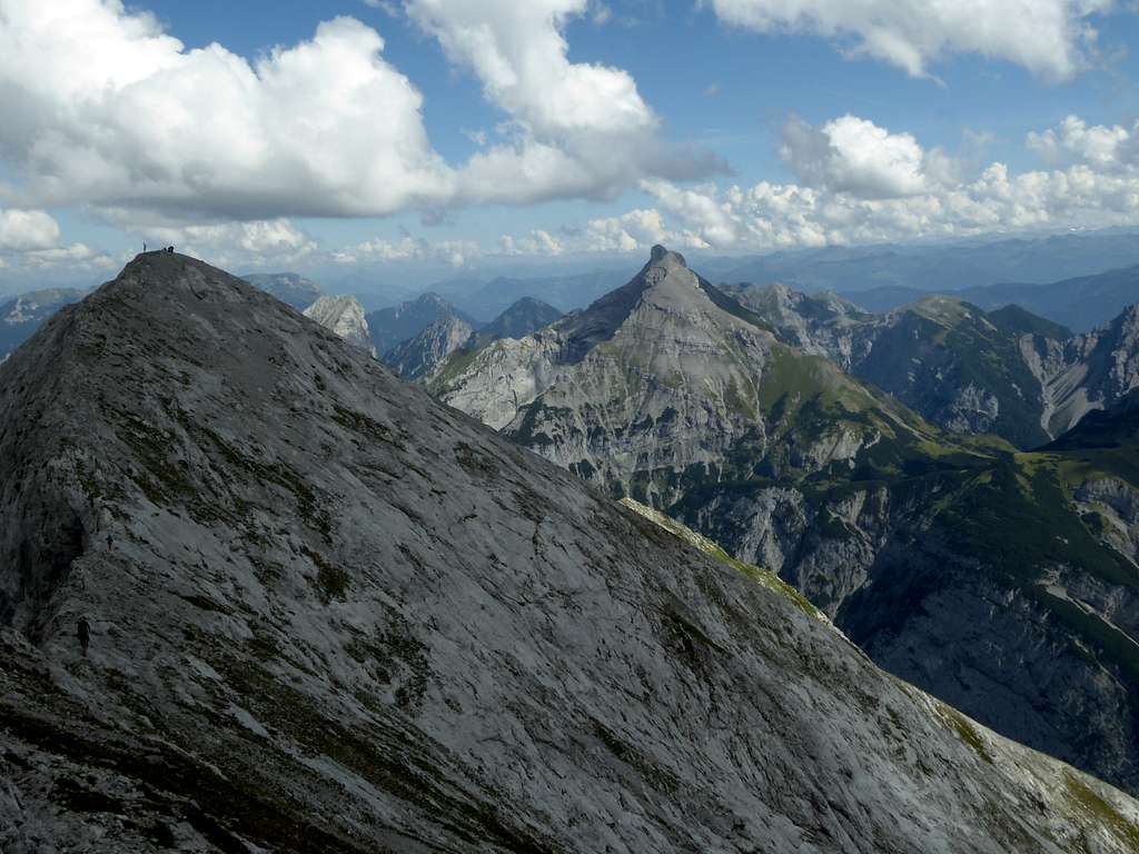
The views into the Karwendel ranges are spectacular from Gamsjoch. The landscape on your way to Gamsjoch is the same. The various possibilities to leave the main route – the only marked and maintained trail of the subgroup – to summit some adjacent peaks mostly off-trail – can add to the fun. I will name some of these possibilities in the Routes section.
Getting There
The main trailheads for Gamsjoch are
Parking area Ahornboden at the Eng Hotel (end of the Eng valley toll road)
Parking area P6 for the Laliderer valley ascent.
You reach these parking areas / trailheads by car
- on road number B 13 and B 307 coming from Bad Tölz and Lenggries via Fall / Sylvenstein lake and Vorderriß
- on road B 318 and B 307 coming from Tegernsee region, Achenpass, Sylvenstein lake and Vorderriß
- on road 181 coming from Inntal valley to the German / Austrian border at Achenpass, following road B 307 to Sylvenstein lake and Vorderriß.
- Road B 307 ends at Vorderriß. Follow Risstal Landesstraße crossing the German / Austrian border until you reach first trailhead P6 (signpost) or go on until the end of the road (Ahornboden parking area). Toll road from Hinterriß on!
Public transportation
There is a hiker bus serving Eng valley. It starts at the railway station of Lenggries and has a bus stop at Hinterriß.
Routes Overview
Trailhead Engalmen (Hohljoch route)
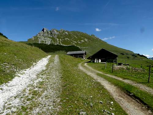
- Follow the road from the parking area to Engalmen
- Go straight on there following the signposts for Hohljoch
- Ascend Hohljoch on the trail through Zauberwald (enchanted woods) and go right there on the forest road to Laliders Hochleger alm huts
- Follow the trail into Gumpenkar and ascend steeply to Gumpenjöchl
- Go right there on the summit trail which uses the south summit slopes (some short scrambling parts are secured with ropes)
Alternative route from or better back to Eng Almen trailhead (Gumpenbach route)
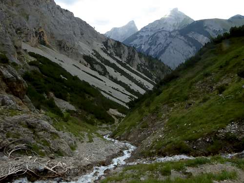
- Where the trail from Laliders alm huts to Gumpenjöchl arrives at Gumpenkar, an unmarked and unmaintained trail branches off and descends steeply alongside the Gumpenkar creek into the scree – filled lower Gumpenkar
- The trail ends at the upper end of a steep forest road which leads down into Eng valley
- Where it arrives the Eng valley dust road, go right on this road and left again at the next road junction. Follow this road over a bridge shortly to the trailhead
A short and fast, but steep and slippery descend route
Trailhead Parking area Laliders valley
- Follow the forest road into Laliders valley until you reach Lalidersalm Niederleger
- Go right there on a trail which winds itself up to Gumpenjöchl
- Go left onto the summit trail
Longer route as the approach through Laliders valley is a long one.
Peak baggers routes
- From Hohljoch there is an unmarked and short ascent possible to the summit of Teufelskopf via ist south slope; foot track through dwarf pines, about 180 m of altitude difference.
- If you go left after Lalidersalm Hochleger – instead of going straight on into Gumpenkar – you will reach an unmarked foot track which leads you up to the col between Teufelskopf and Gumpenkarspitze. Follow the southwest ridge of Gumpenkarspitze (some parts easy rock scramble and steep meadow slopes) to the summit.
- For a descent back to the Gumpenjöchl ascent use the steep southeast meadow ridge.
- The short and steep north ridge directly down to Gumpenjöchl involves some grade II or III climb.
Ski route
Gamsjoch is a ski tour for experienced skiers only. It is a steep route and needs a good snow condition in may – the Eng valley toll road opens up at the beginning of may! Early in the year you need to bike with full gear from Hinterriß to Eng Almen!
The ascent and descent is via the Gumpenkar creek into Gumpenkar and to Gumpenjöchl. The lower part is steep, narrow and threatened by avalanches!
Skiing the south slopes of Gamsjoch back to Gumpenjöchl is difficult and a challenge.
Don´t underestimate this ski tour!
Red Tape & Accommodation
Red Tape
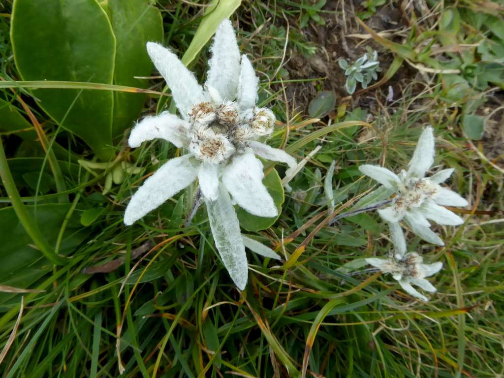
Gamsjoch and its surroundings belong to the Alpenpark Karwendel, an important and strictly protected national park.
There is no entrance fee for the park but many regulations to follow.
Please respect the following rules of the National Park:

Accommodation
Mountain huts
none
Gear & Mountain Condition
Gamsjoch is a hiking tour for the experienced hiker. The south slope summit trail has some easy scrambling parts, secured with ropes. The hike is possible between late spring and late autumn / early winter, depending on the snow condition. No special equipment required. Good hiking shoes, hiking poles and – in late spring and early winter – gaiters are a must.
The ski tour to Gamsjoch needs the experienced skier. Full ski tour gear and avalanche gear is required. As the valley road to parking area Ahornboden opens up in may, this ski tour is mostly done in may and early June and requires a good spring snow condition. The earlier alternative to bike from Hinterriß to Eng Almen is possible but quite epic.
See the avalanche bulletin here.
Weather condition
Valley weather Gamsjoch at Hinterriß
Mountain weather Gamsjoch summit
Maps
Alpenvereinskarte
number 5/2, Karwendelgebirge, Mitte
Scale 1 : 25.000
Deutscher Alpenverein
with trails and UTM-grid
edition 2015
Alpenvereinskarte
number 5/3, Karwendelgebirge, Ost
Scale 1 : 25.000
Deutscher Alpenverein
with trails and UTM-grid
edition 2015
