
|
|
Mountain/Rock |
|---|---|
|
|
37.73738°N / 107.80182°W |
|
|
San Juan |
|
|
Mountaineering |
|
|
Summer |
|
|
12614 ft / 3845 m |
|
|
Overview
South face of Jura Knob
Jura Knob rises near Coal Bank Pass on Route 550 in the San Juan Mountains of southwestern Colorado. The northern slopes of Jura Knob are quite gentle and go down to a 12000 ft high plateau/broad pass between Rolling Mountain and Twin Sisters. The easiest way to reach the summit of Jura Knob seems to be from the north. It appears that from South Fork of Mineral Creek Campground near the town of Silverton, you could drive a 4 wheel drive road for a couple of miles and then follow the Rico-Silverton Trail to reach the mentioned plateau where you will gain access to the easy northern slopes of Jura Knob.
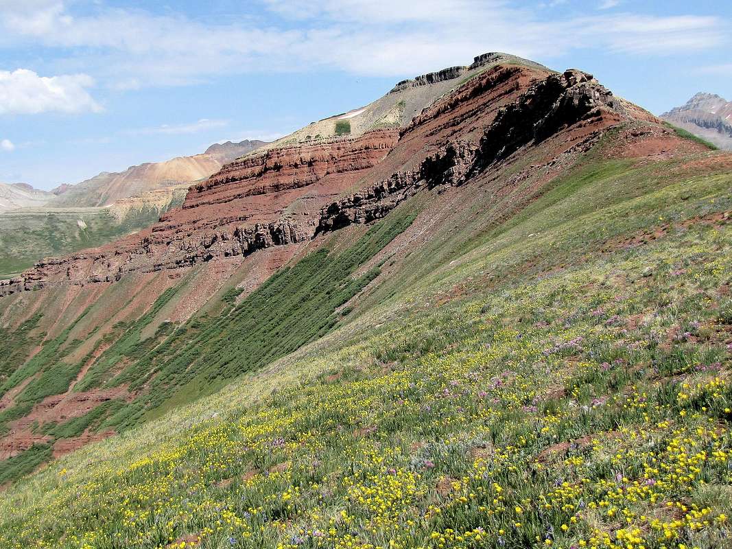
The southern slopes of Jura Knob create a band of cliffs just below the summit. These cliffs may present a problem to the hiker but in my opinion, they can be passed without technical difficulties (see Route Section below). I started my hike at Coal Bank Pass on Route 550 and followed a trail that led me to the beautiful flower filled gentle southern slopes of Jura Knob before reaching the cliffs. My guidebook (Hiking Trails of Southwestern Colorado, Paul Pixler) describes shorter southern routes via Coal Creek or Deer Creek Valleys.
Summit of Jura Knob
Getting There
The 10660 ft Coal Bank Pass is reached by driving 14 miles south of Silverton or 35 miles north of Durango on Route 550. You will note a parking area with restroom facilities on the east side of the road but this is not the trailhead. Turn onto a nameless dirt road just north of the pass where you will find a parking area. There may be signs for Engineer Mountain or Pass Creek Trails.Route, Coal Bank Pass Trailhead

Map
All distances are per my GPS
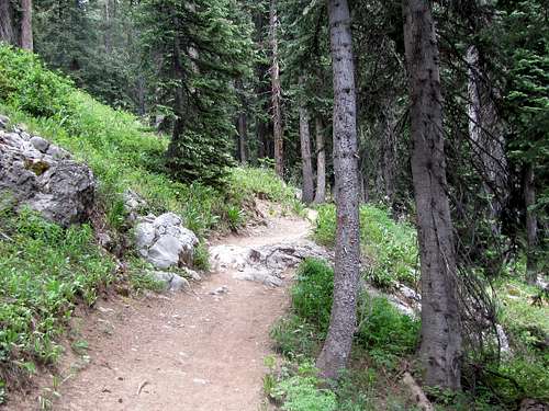
At the trailhead, get on the trail for Pass Creek/Engineer Mountain. The trail takes you into a pine forest and around a small pond.
As you near tree-line, Engineer Mountain comes to view.
Engineer Mountain
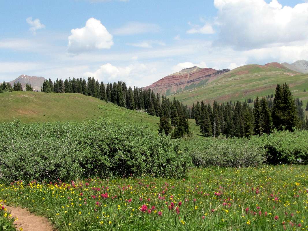
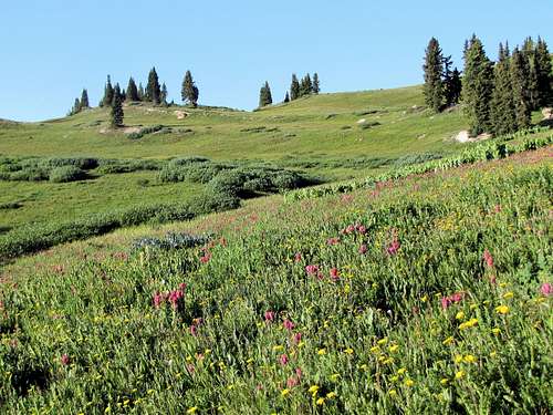
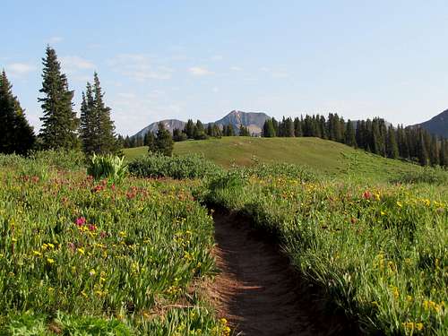
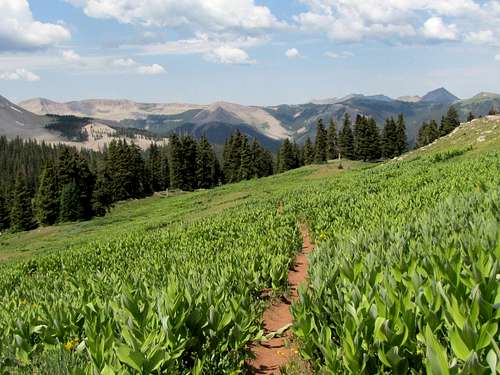
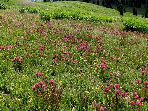
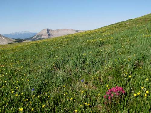
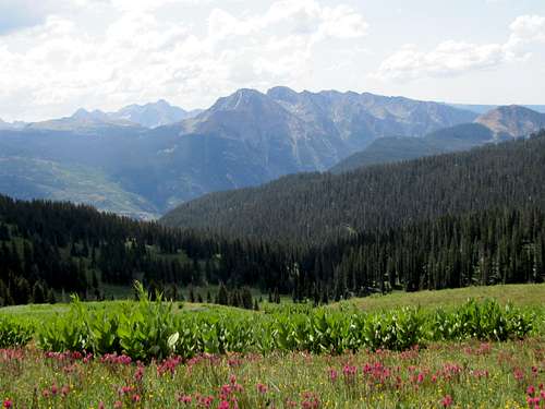
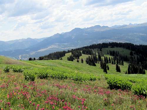
In early summer, wild flowers can be seen all around.
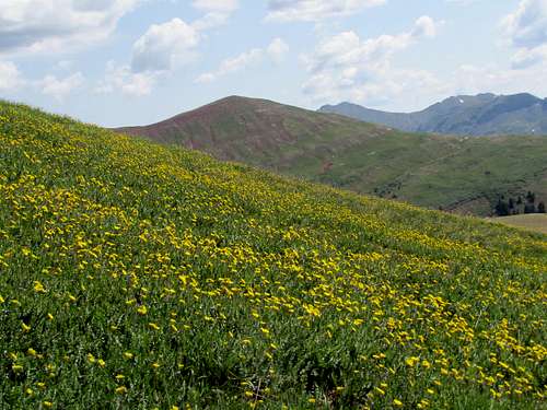
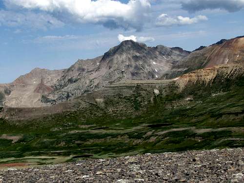
Rolling Mountain
You will soon see a trail on the left that goes to Engineer Mountain. Go straight continuing on Pass Creek Trail. You can now look back to get better views of the north wall of Engineer Mountain.
North wall of Engineer Mountain
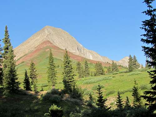
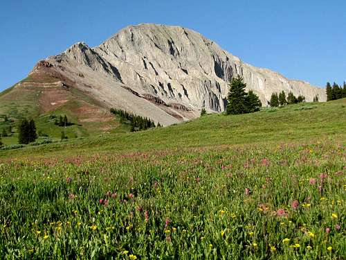
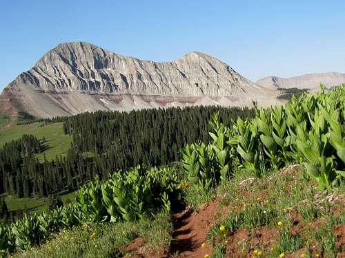
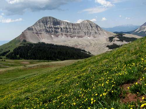
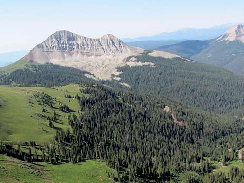
If you look carefully to the north, you may get glimpses of Jura Knob as a red and gray colored peak.
Jura Knob
The trail slowly goes down around 100 vertical feet to reach a broad saddle. It then slowly goes back up again until it reaches a junction with Coal Creek/Deer Creek Trail. Leave Pass Creek Trail and turn right onto Coal Creek/Deer Creek Trail.
On Coal Creek/Deer Creek Trail
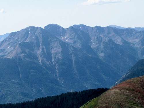
Engineer Mountain & Grayrock Peak
The trail takes you up above tree-line on the slopes of a grassy hill. Jura Knob will not be in view. You will soon have to leave trail and head north directly up the grassy slope.
Where I left trail
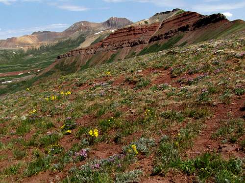
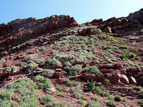
Once you reach a high point, a reddish colored grassy hill will come to view to the north. You will need to continue north toward this hill.
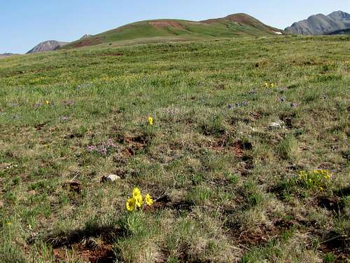
Reddish grassy hill
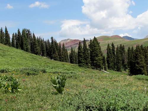
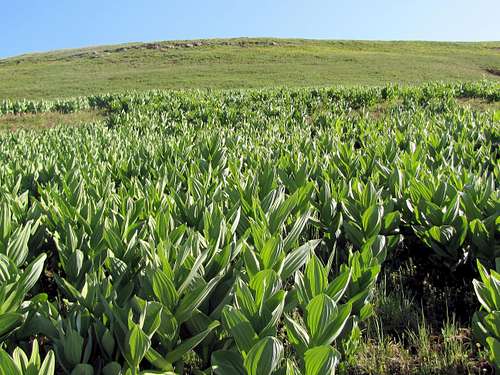
The flowers in this area are spectacular.

Many of the nearby mountains will also be in great view.
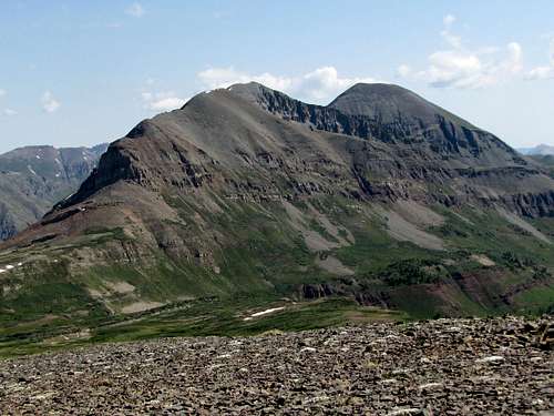
Grayrock Peak
Sultan Mountain
Engineer Mountain
Twilight Peaks
Snowdon & South Snowdon Peaks
As you near the top of the red colored grassy hill, Jura Knob comes to view.
Jura Knob
Continue on easy grassy slopes until you reach the base of the cliffs below the summit of Jura Knob. The cliffs did not look very appealing to me. I did not know what awaited me on top of the cliffs. Later I saw that my guidebook had said that all you had to do was to go up one shoulder high wall to gain access to easy terrain again. I was not aware of that and instead chose to hike the slopes just below the cliffs on the west side.
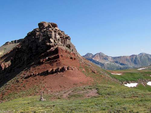
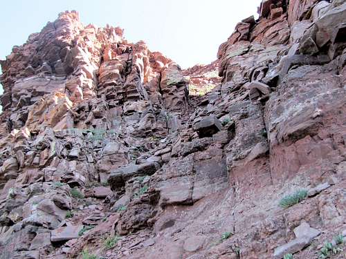
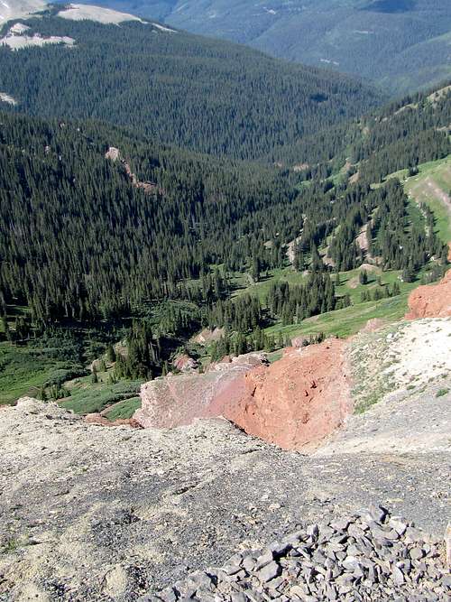
The band of cliffs below the summit of Jura Knob
After following the steep slopes just below the cliffs on the west side for a short distance, I reached this steep scree filled gully. Going up this gully was not pleasant and you might be better off doing what the guidebook said.
Gully
I exited the top of the gully onto this steep slope and a little farther up, easy terrain again.
Slope above gully
I was soon on the broad summit of Jura Knob.
Views from the summit:
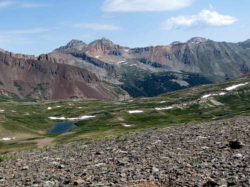
Vermilion/Fuller/U.S. Grant Peaks
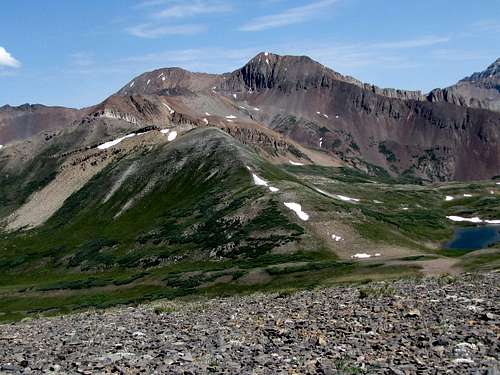
Rolling Mountain
Grizzly Peak
Twin Sisters
Engineer Mountain
Twilight Peaks
Cliffs below the summit. Looking into Engine Creek Valley