|
|
Mountain/Rock |
|---|---|
|
|
39.06370°N / 107.0613°W |
|
|
Summer |
|
|
12665 ft / 3860 m |
|
|
Overview
Rank: Peak 12665 ft is Colorado’s 883rd highest ranked peak
Prominence: 605 ft
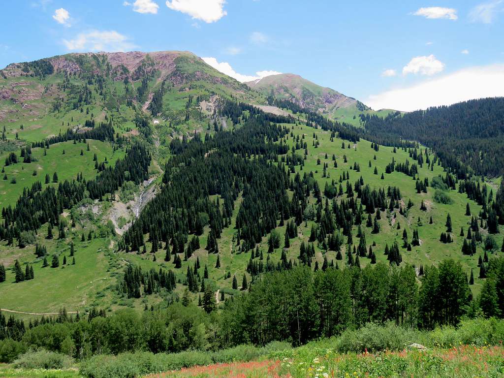
Peak 12665 ft rises in a remote corner of the Maroon Bells-Snowmass Wilderness in Colorado’s Elk Mountains. The western slopes of Peak 12665 ft are steep but grassy and drop 3000 vertical feet into the North Fork of Crystal River Valley. A trail starts in the valley and traverses the western slopes of Peak 12665 ft at an elevation of 11200 ft giving access to the slopes that lead to the summit. The eastern slopes of Peak 12665 ft go down to a grassy plateau that sits at an elevation of 11400-12000 ft. The plateau itself rises above Hasley Basin which can be accessed via a trail that starts at Geneva Lake Trailhead in the valley of North Fork of Crystal River.
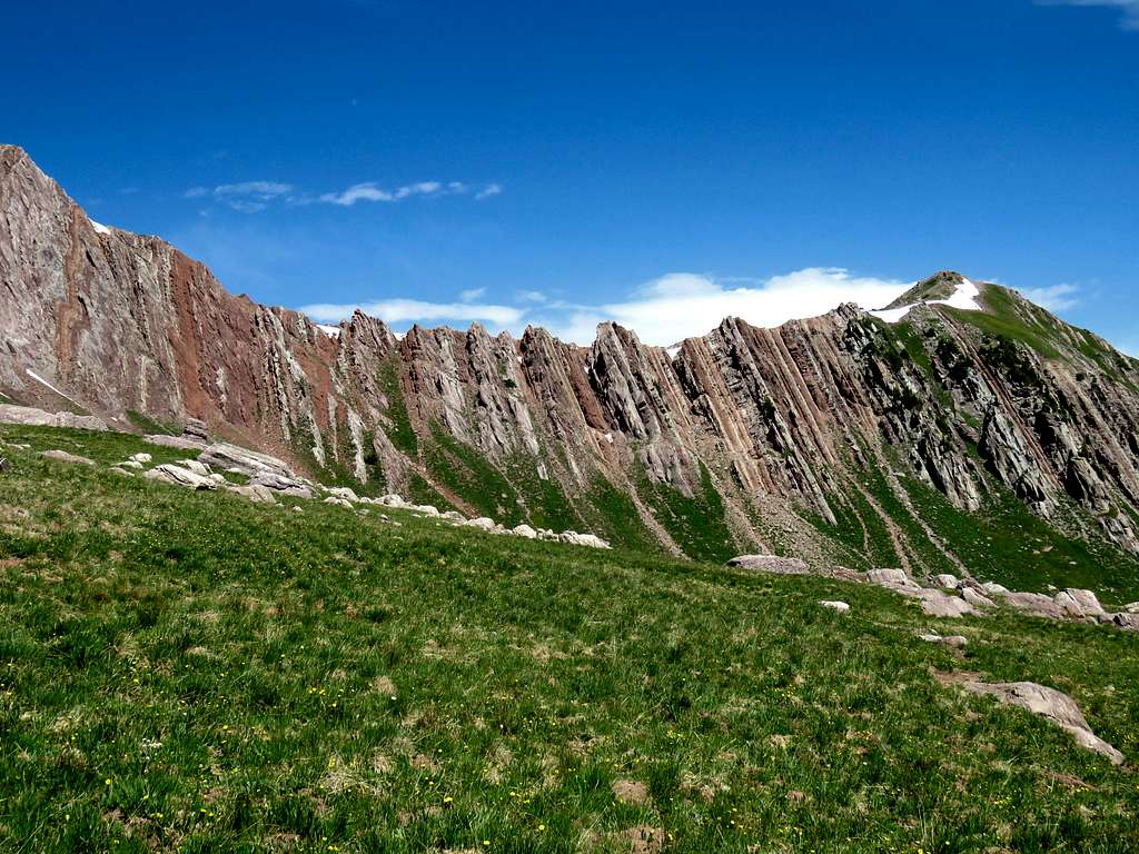
The east face of the northern ridgeline of Peak 12665 ft creates a spectacular reddish wall that seems to be a perfect example of geological tilting.
I had discovered this beautiful peak by surfing Google Earth. I was able to do a hike that took me from Geneva Lake Trailhead to Hasley Basin where I left trail and climbed the eastern slopes to reach the summit. I then descended the western slopes going back to near where I had started my hike. Reaching the start of my hike required much four wheel driving. Crystal River Jeep Tours in Marble Colorado dropped me off and picked me up at the start and end of my hike.
Getting There
See attached map. Rough Road. You will need a high clearance four wheel drive vehicle. From Beaver Lake at the east end of the town of Marble, drive the Lead King Basin Road 7.75 miles to reach Geneva lake Trailhead. The return end of my trip was at the spot shown on the map 1800 ft down the road near a place called Paul’s Cabin where a bridge crosses the stream. Allow 50 minutes for the drive.
Route
This is a description of my hike as shown on the above map from Geneva Lake Trailhead to the summit of Peak 12665 ft and down to near Paul’s Cabin. 9.1 miles with 3270 ft of uphill.
Left Geneva Lake Trailhead (9660 ft) at 6:45 a.m. following the trail north. Soon the trail to Geneva Lake branched to the left. I continued on the valley floor on The North Fork of Crystal River Trail. The waterfall that presumably drains Geneva Lake came to view.
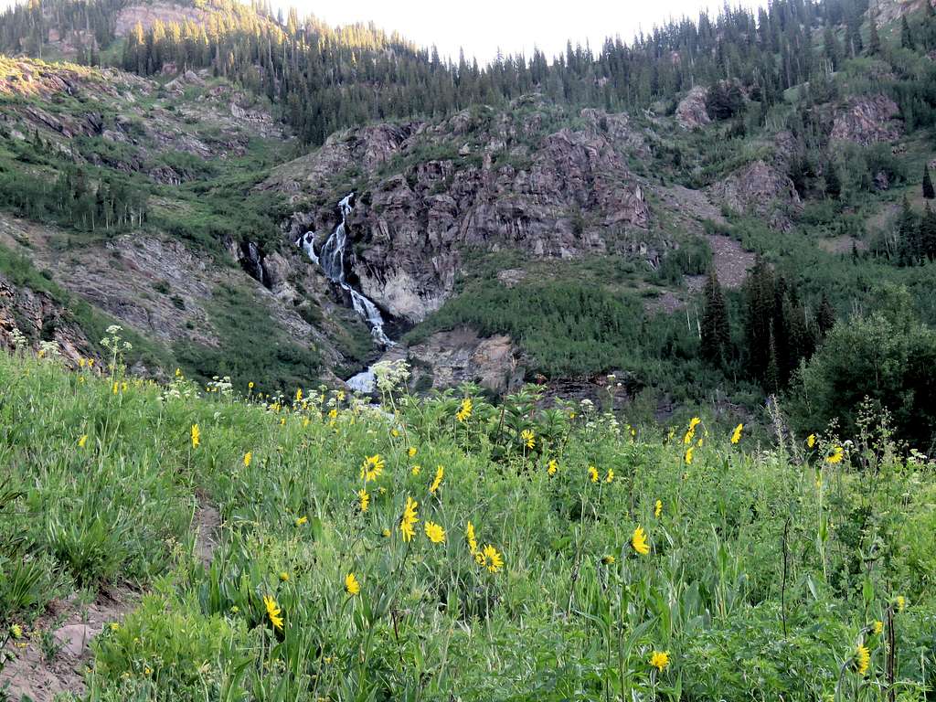
Looking back at the peaks of Treasure Mountain.
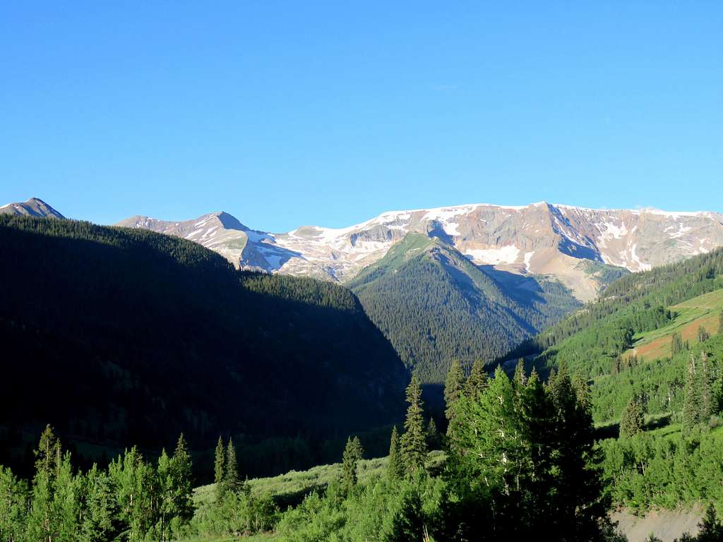
The valley slowly turned east. Maroon Peak appeared as a big shadow at the end of the valley.
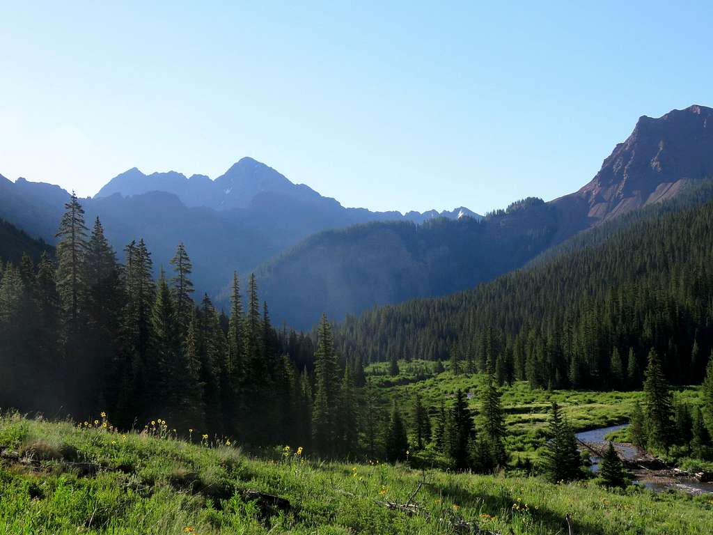
Continuing up the valley.
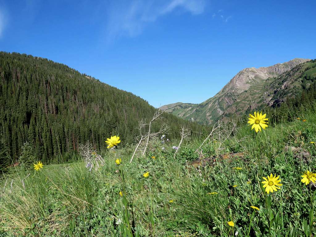
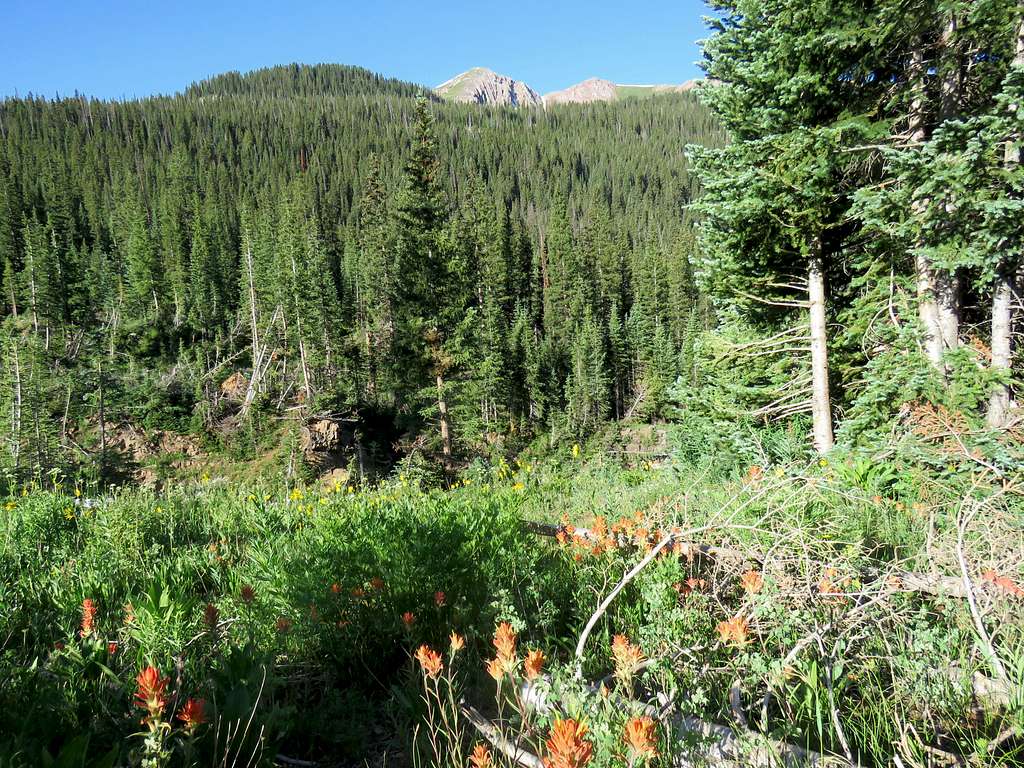
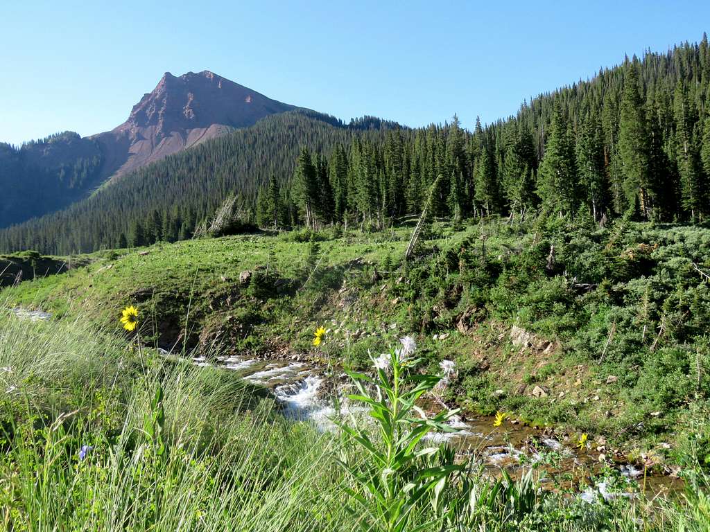
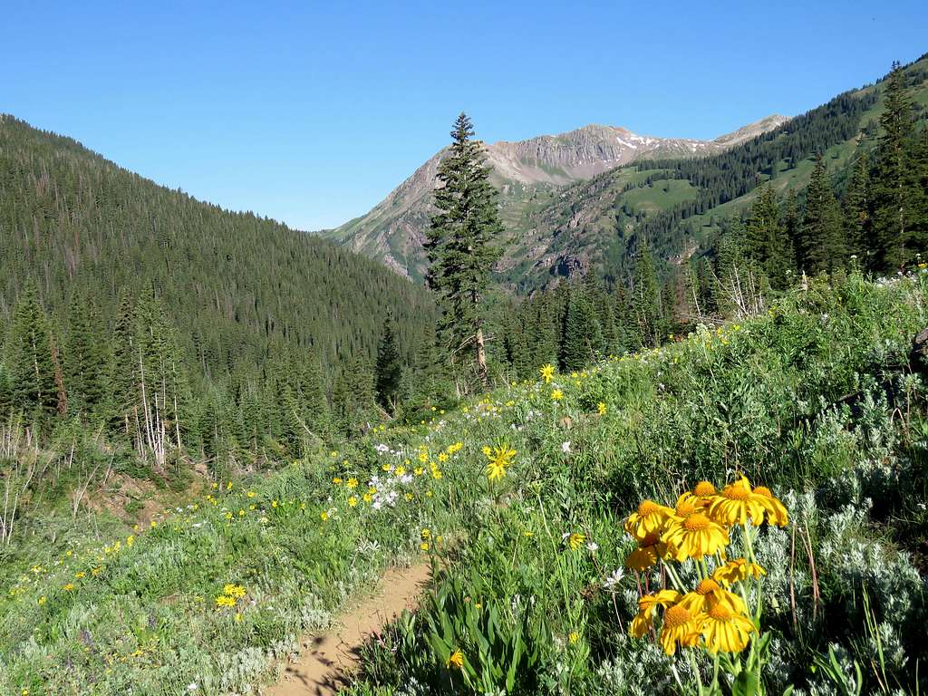
At 8:20, 3.3 miles and 10380 ft, I reached where the trail crossed The North Fork of Crystal River.
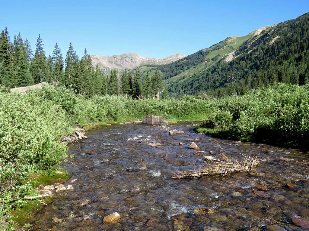
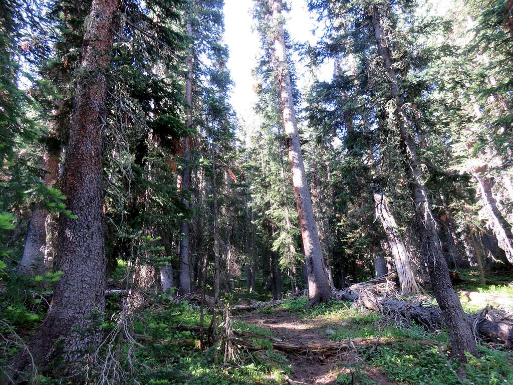
Shortly after the creek, I left the main trail and followed a trail on the right that headed south into a pine forest and began to climb the slopes toward Hasely Basin. Many fallen tress blocked the trail but bypassing them was not too cumbersome.
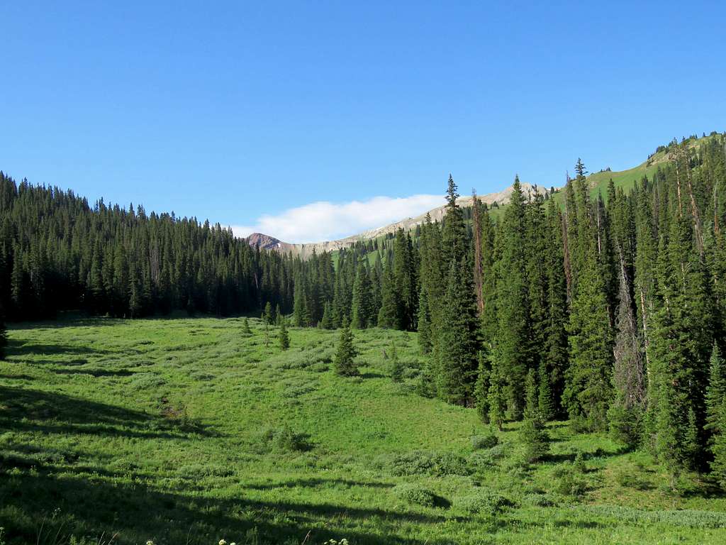
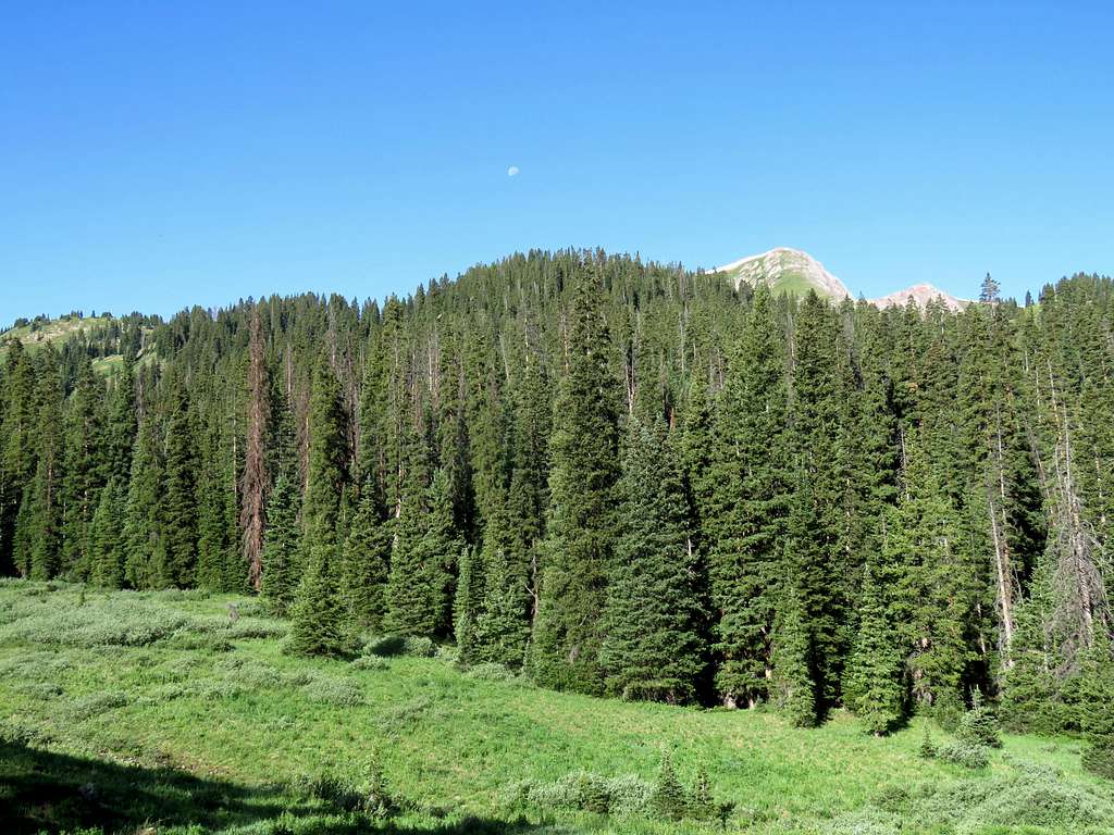
At around 10850 ft, a meadow opened up and the high points at the end of Hasley Basin came to view to the south.
Point 12525 ft, which sits to the north of Peak 12665 ft, could also be seen to the west.
This impressive peak to the north, was Hagerman Peak.
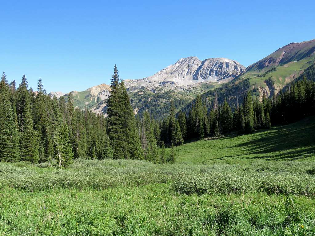
Looking south into Hasley Basin.
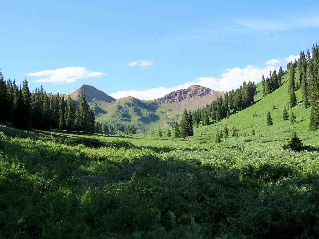
At 9:10, 11000 ft and 4.6 miles, I reached where I was planning to leave trail. Rested there for 10 minutes then headed west, crossing the stream going up the grassy slopes on the east side of Hasley Basin.
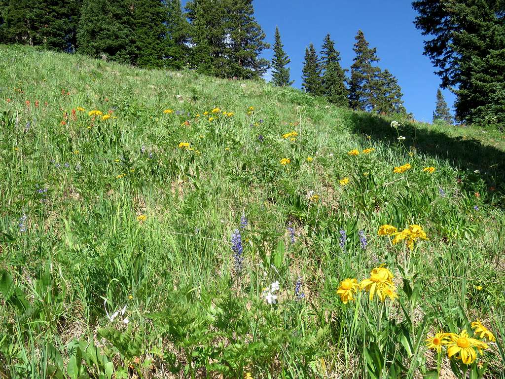
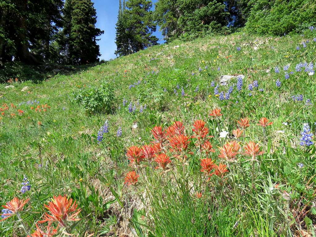
At around 11600 ft, the slopes began to ease up. The east face of Peak 12665 ft finally came to view. As Google Earth had shown, there was a wall directly below the summit but easy grassy slopes seemed to allow access to the ridgetop to the south of the summit. It seemed like I would have to go far south to avoid a long snow bank directly below the ridgetop.
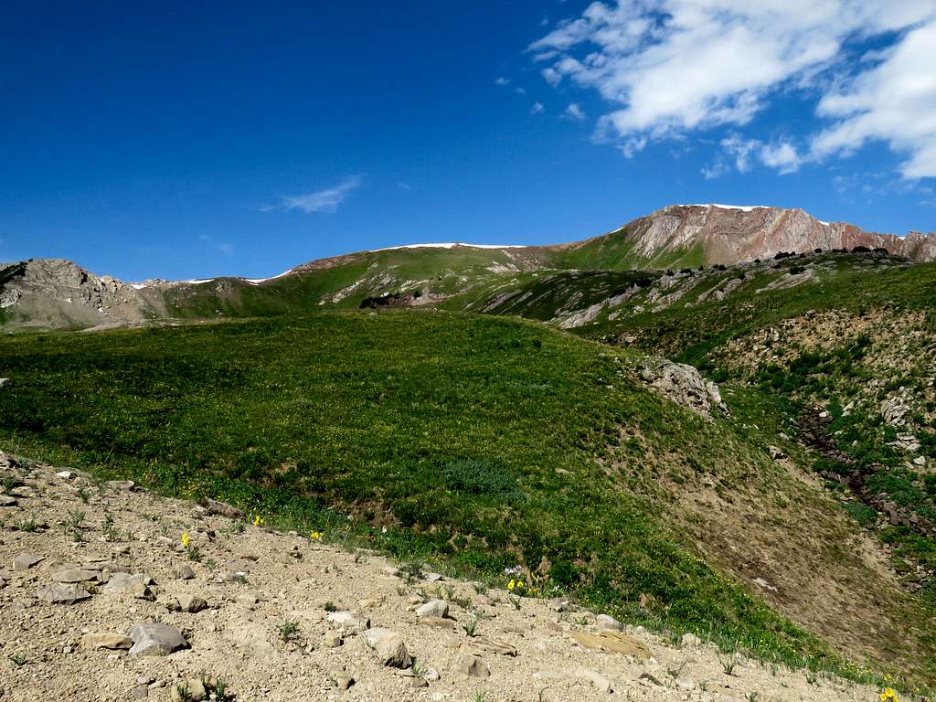
I then entered a beautiful sloped plateau. A huge herd of elk appeared in the distance. They ran away as soon as they saw me. Zoomed views.
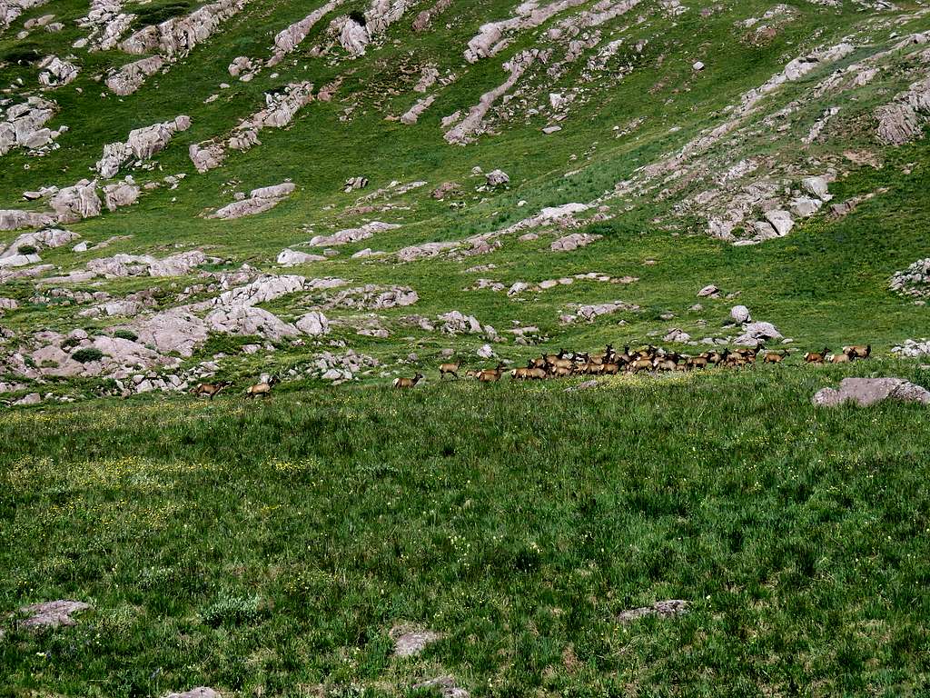
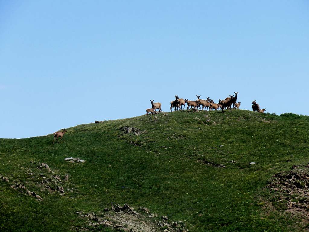
Peak 12665 ft and Point 12525 ft to the north of it.
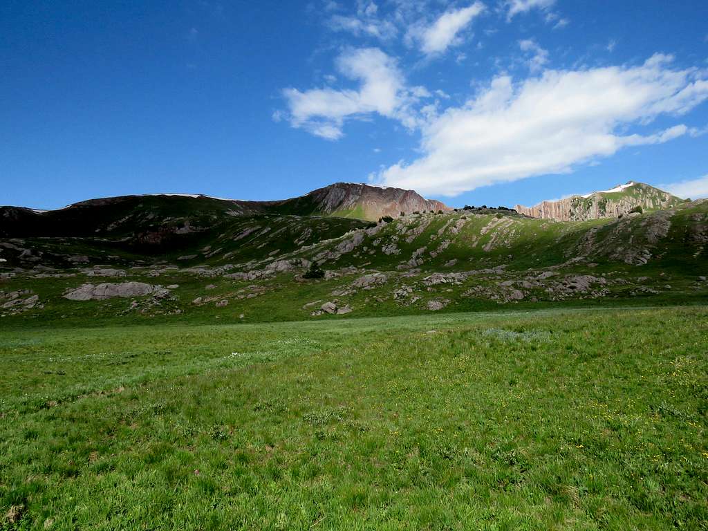
Ponds on the plateau with Mount Snowmass and Hagerman Peak.
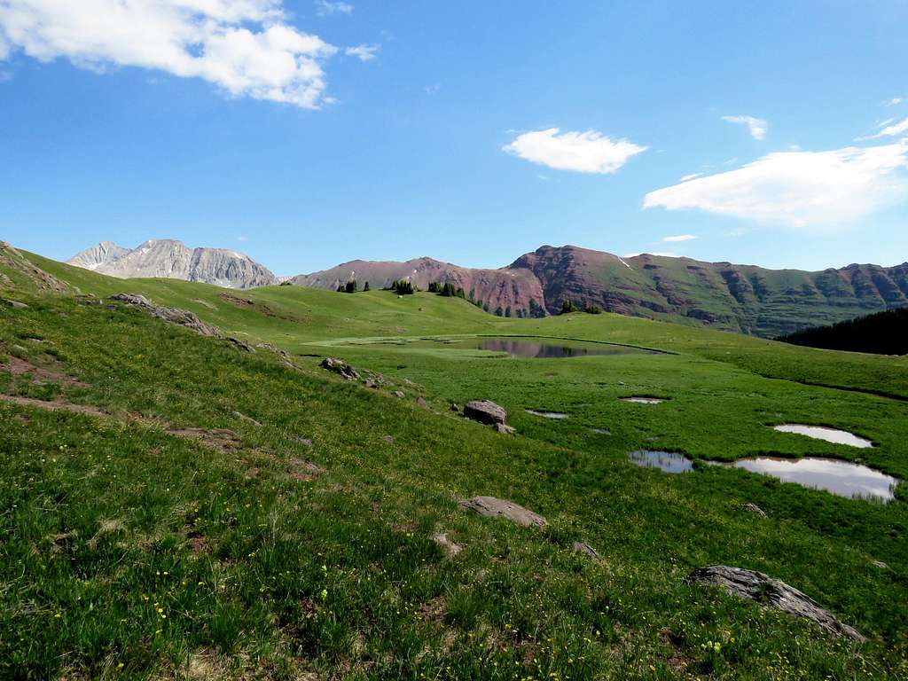
Point 12508 ft and view of the upper end of Hasley Basin.
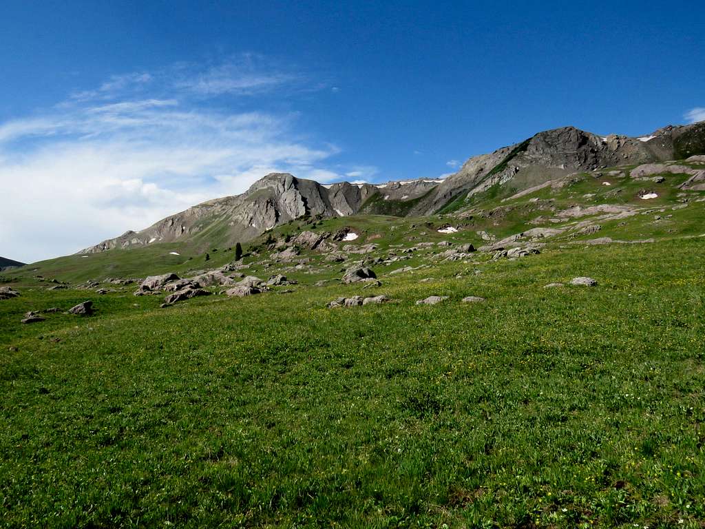
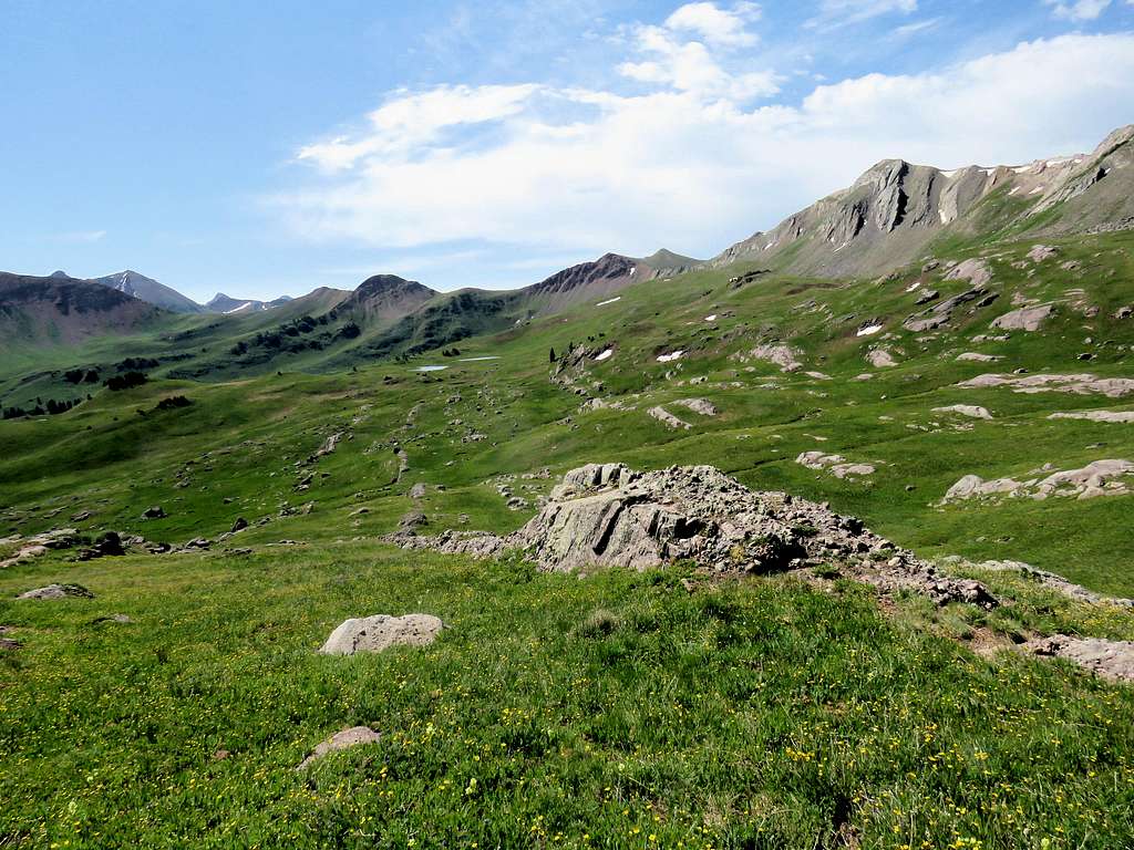
The impressive ridgeline between Peak 12665 ft and Point 12525 ft.
A fantastic view of Capitol Peak, Mount Snowmass and Hagerman Peak.
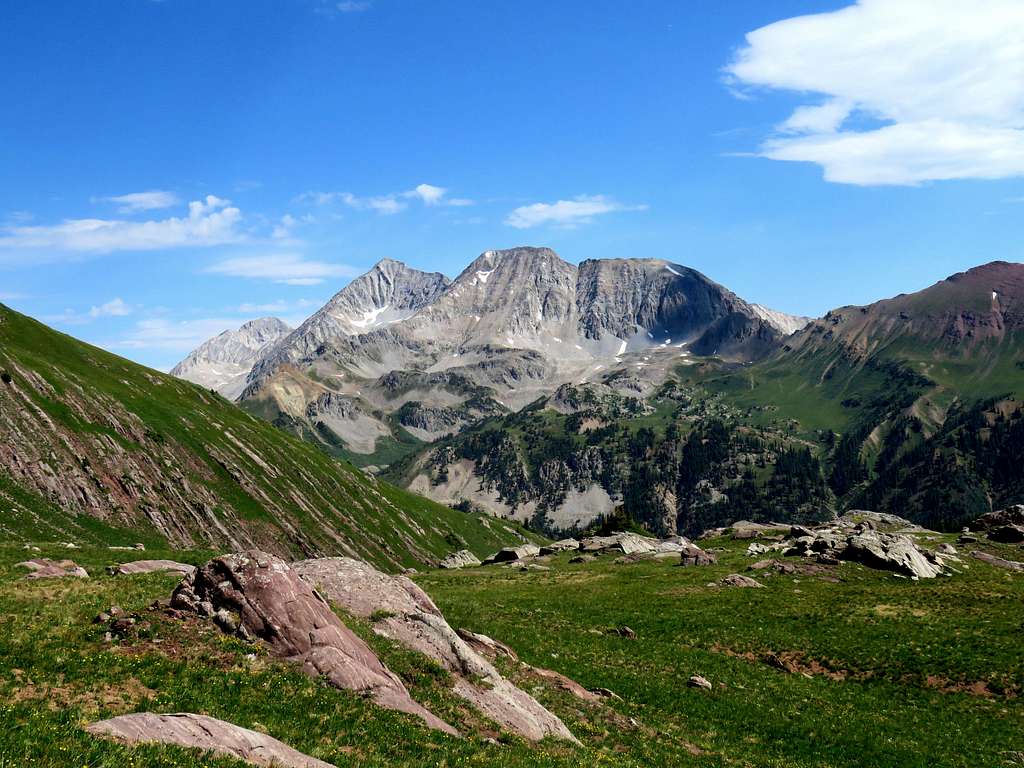
Pond below the summit of Peak 12665 ft.
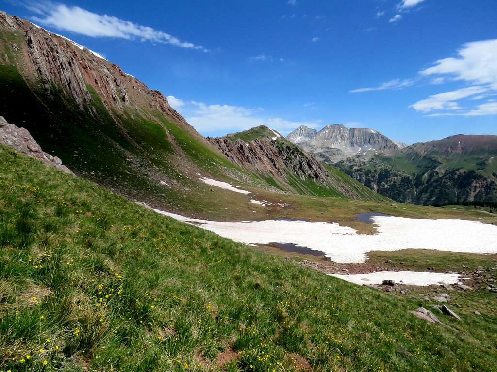
Went up the tail end of the snowbank to reach the ridgetop, then followed the ridge top north to reach the summit at 11:00 and 6.5 miles. Sat there, had my lunch and enjoyed the views. To the south, I could see Gothic and Whetstone Mountains which I had climbed the previous year when we had stayed in Crested Butte.
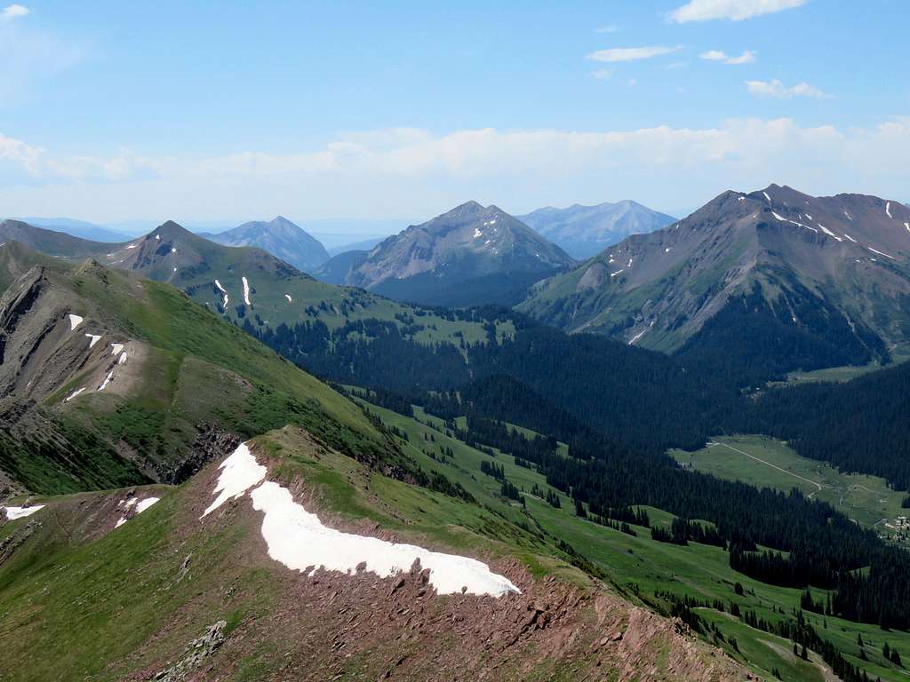
The long ridgeline of Treasure Mountains and its many snow bowls.
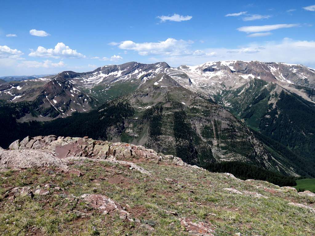
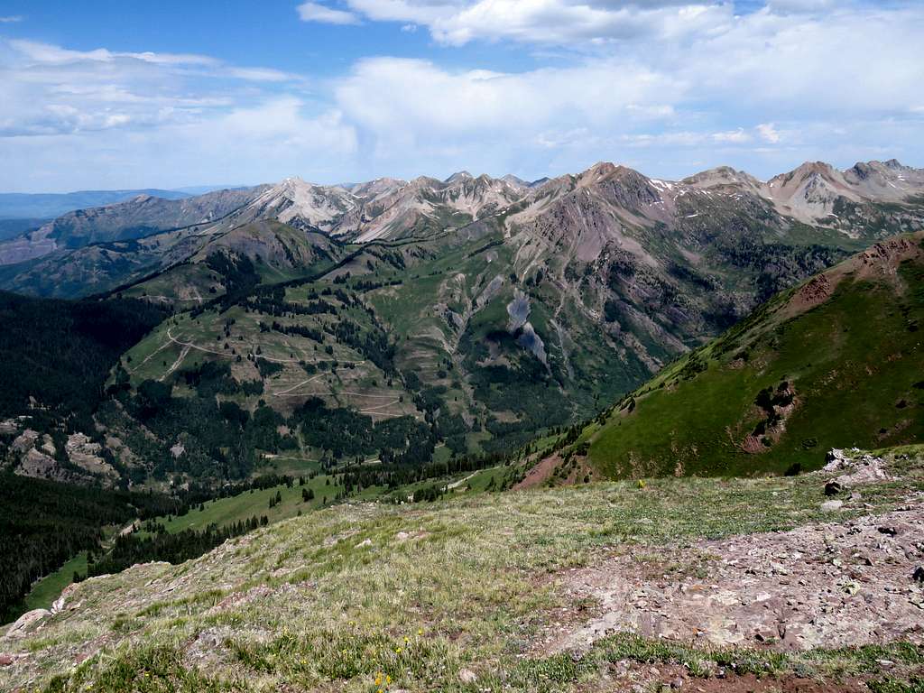
Sheep Mountain nearby and The Raggeds to the distant west.
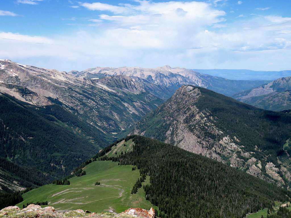
Meadow Mountain, Mount Daly and Lead King Basin Road.
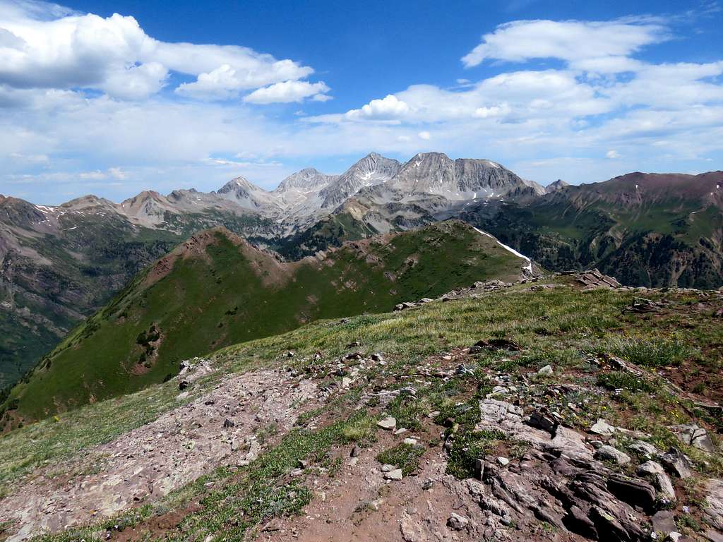
Capitol Peak, Mount Snowmass and Hagerman Peak.
Maroon Peak and the plateau I had hiked to the east.
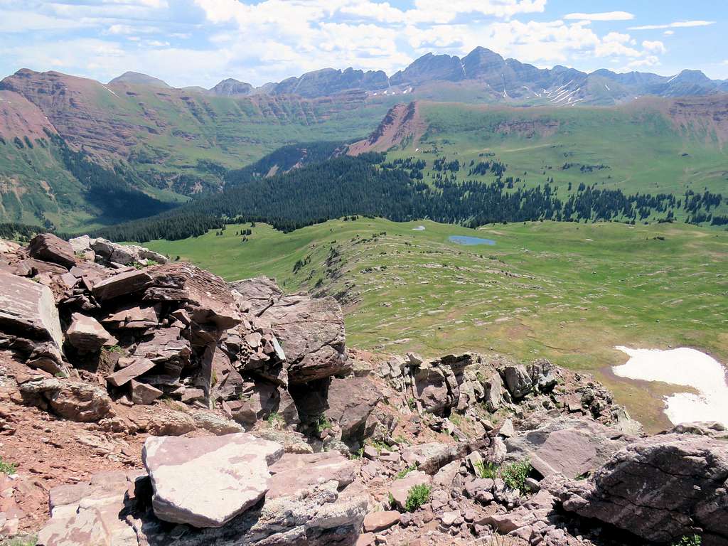
South end of Hasley Basin.
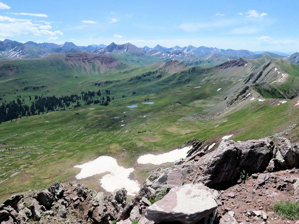
Left the summit at 11:20 a.m. I was hoping to descend the western slopes to reach a trail at 11200 ft. Google Earth had shown the slopes to be all grassy. From the summit, I could not see all the way down the slopes. I was getting concerned that my whole plan was depending on what I had seen on Google Earth. What if I ran into a wall after descending 1000 feet? I had told Tim of Crystal Lake Jeep Tours to pick me up at 1:00 p.m. near Paul’s Cabin. I knew distance-wise, I was not too far away but I was still more than 3000 vertical feet above Paul’s Cabin.
Headed north and began to follow the ridgetop toward the saddle with Point 12525 ft. The east face of this ridgeline had a spectacular wall but the west face was all grassy.
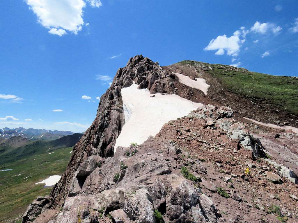
Once I reached the saddle, I turned west and began to go down the steep grassy slopes.
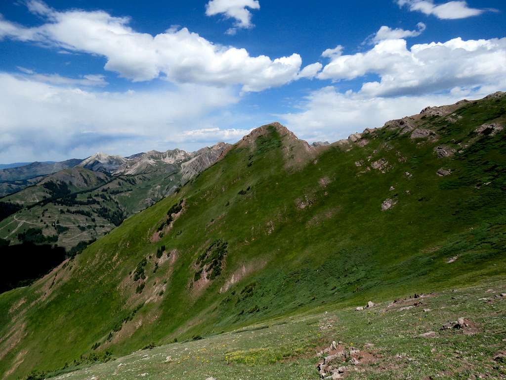
Looking back up the slopes.
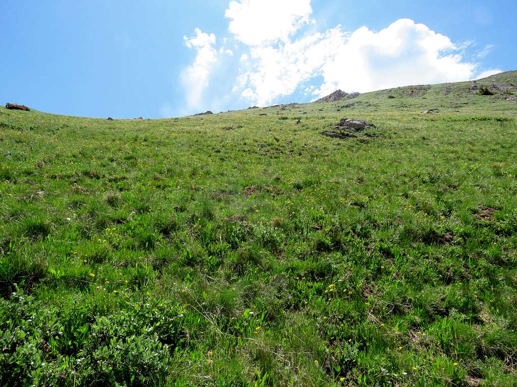
Beautiful grassy slopes.
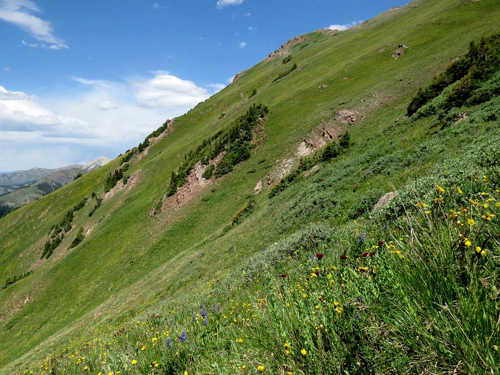
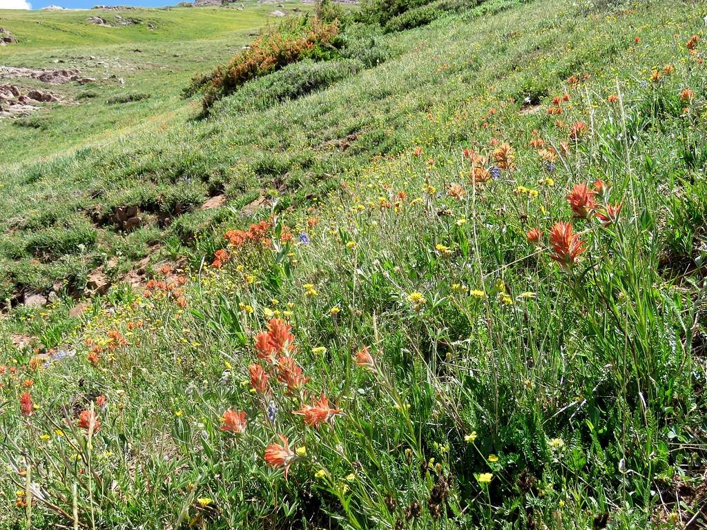
Another view of Treasure Mountain.
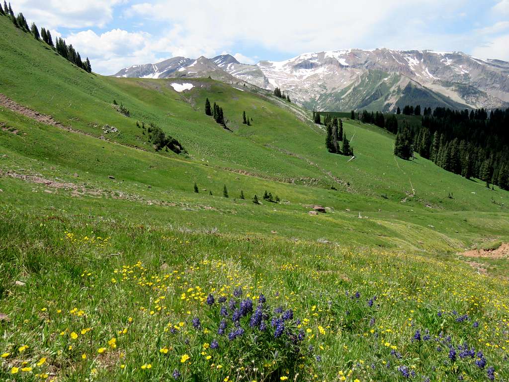
Reached the trail at 11200 ft, 12:15 and 7.5 miles. Sounded like I might be a little late. Fortunately I had given a walkie-talkie to Tim so that he could radio me. Started to hike fast down the trail. A look back at Peak 12665 ft.
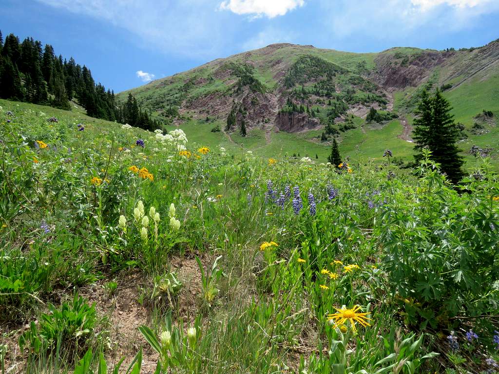
Meadow Mountain, Cats Eye Peak, the tip of Mount Daly and Lead King Basin Road.
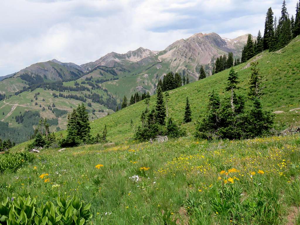
At 12:50, Tim radioed me. I told him that I was close. Another view of Sheep Mountain.
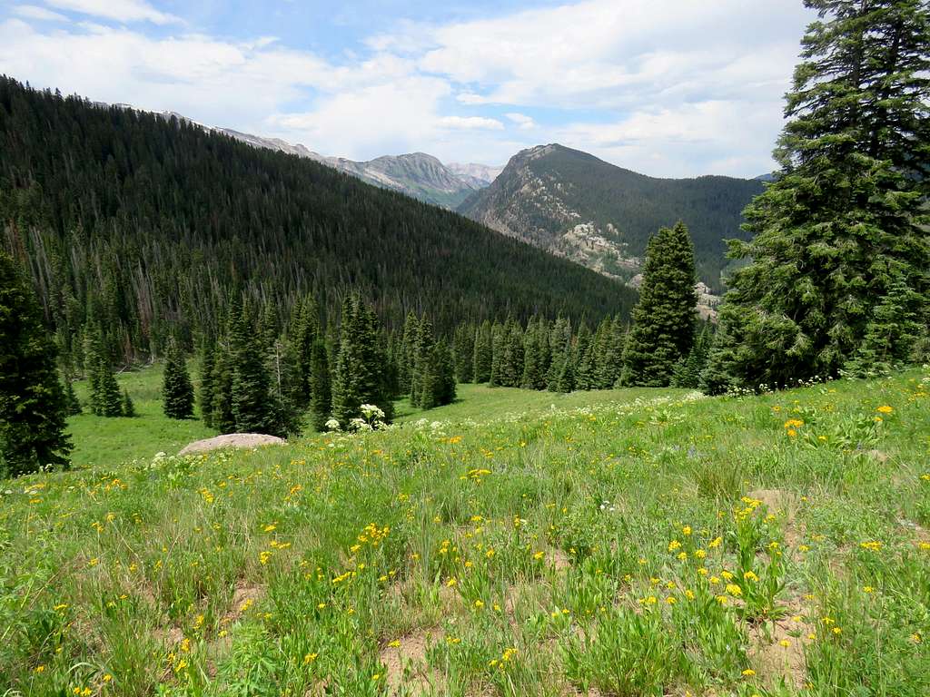
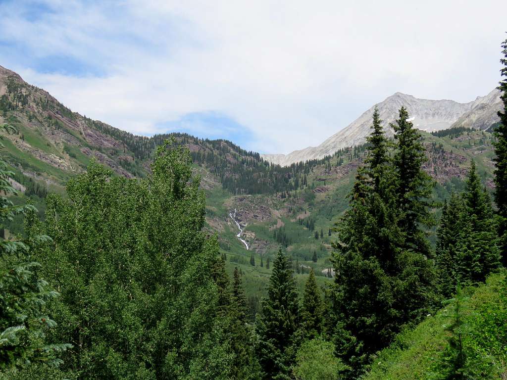
Reached the road at 1:15. Tim saw me and drove to pick me up.
Red Tape
No fees or permits for day hikes.
When to Climb
Summer

