-
 314 Hits
-
 76.66% Score
-
 7 Votes
|
|
Mountain/Rock |
|---|---|
|
|
47.45426°N / 11.41331°E |
|
|
Hiking, Mountaineering |
|
|
Summer, Fall |
|
|
6667 ft / 2032 m |
|
|
Overview
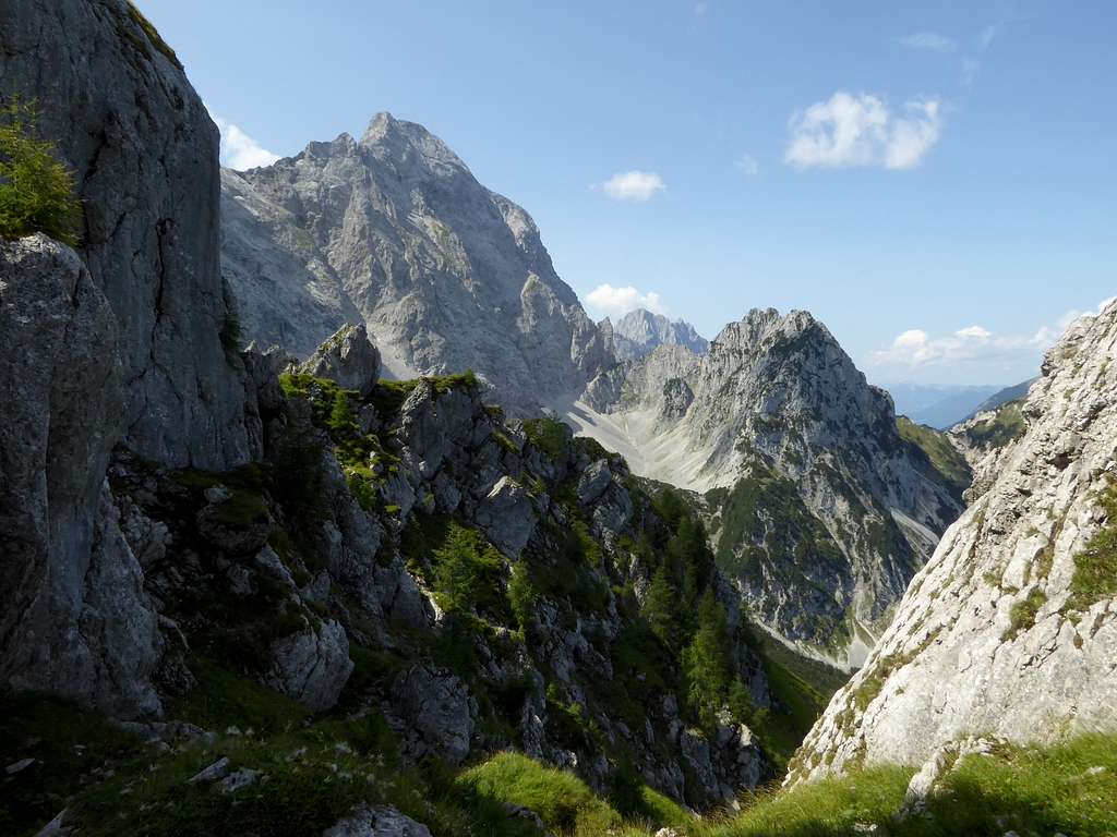
During the last years I summited quite a lot of second row summits within Wetterstein and Karwendel ranges. Despite of the lesser good summit views, mostly blocked by much higher neighbour peaks, I found those mountains quite entertaining and interesting. They mostly are not well known, thus you see not many people around you. You enter remote and lonely parts of the Alps on unmarked, not maintained trails and tracks and – as it is the case in summiting Steinkarspitzen – in parts on no tracks at all. The landscape is beautiful and impressive, as it is always within Karwendel. And you can name summits other hikers never heard about.
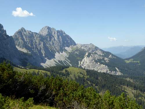
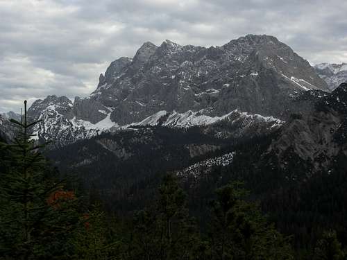
Steinkarspitzen are divided in two distinct summits, Östliche Steinkarspitze (2015 m) and slightly higher Westliche Steinkarspitze (2032 m). Both form a rocky feature north of the mighty walls and rockfaces of Östliche Karwendelspitze and Vogelkarspitze. These peaks are about 500 m higher than Steinkarspitzen and sitting in front of those walls is just an impressive sight.
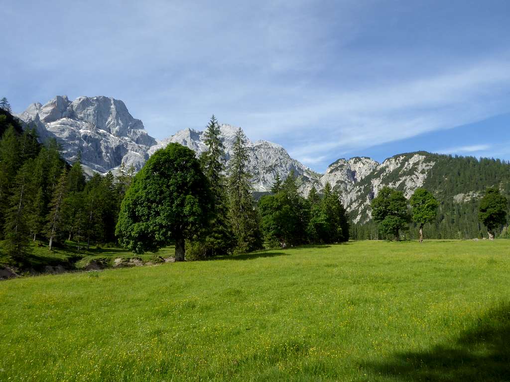
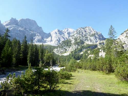
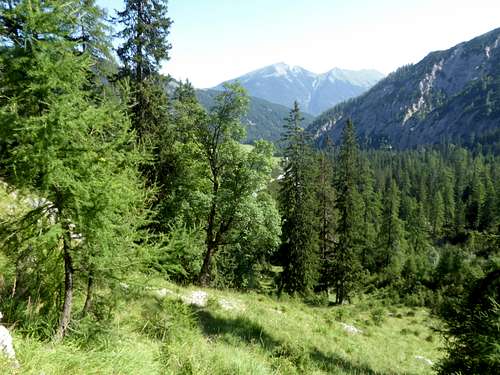
The name of these two peaks, Steinkar (rocky cirque) derives from a rocky and stony little cirque southeast of the summits, called Steinloch (stony hole), which separates our summits from the main range. To the north stretches beautiful Rontal valley with its mountain maple pastures and the nice Rontalalm hut where you can get some drinks. West of Rontal valley runs the subrange of Rappenklammspitze to Wechselkopf, which is linked to our summits via Wechselscharte col.
To the west, Steinkarspitzen drop steeply down to Fermersbach valley, a very remote part of Karwendel, which hosts a rather long and exhausting but nevertheless great route to our summits.
The summit block, however, is unmarked (though some sparse cairns can be found), off-trail and requires some short UIAA grade II moves. The terrain is steep and exposed and some mountain experience is required for our summits.
Getting There
Best trailhead for the Steinkarspitzen is Hinterriß / Eng valley.
You reach Hinterriß by car
- on road number B 13 and B 307 coming from Bad Tölz and Lenggries via Fall / Sylvenstein lake and Vorderriß
- on road B318 and B 307 coming from Tegernsee region, Achenpass and Sylvenstein lake and Vorderriß
- on road 181 coming from Inntal valley to the German / Austrian border at Achenpass, following road B 307 to Sylvenstein lake and Vorderriß.
- Road B 307 ends at Vorderriß. Follow Risstal Landesstraße crossing the German / Austrian border until you reach Hinterriß.
There is a hiker parking area at the beginning of the village, which suits best for the undertaking.
Public transportation
There is a hiker bus serving Eng valley. It starts at the railway station of Lenggries and has a bus stop at Hinterriß.
A longer ascent can be started at Mittenwald or – after an overnight stay – at Hochlandhütte above Mittenwald. This is a rather unusual approach nevertheless an interesting one.
The trailhead for Hochlandhütte is Mittenwald / Kasernen (barracks) parking area.
You reach Mittenwald by car
- from Munich on highway A 95 and road B 2 to Garmisch Partenkirchen, Klais and the first road junction to Mittenwald;
- from Innsbruck by following road number 177 to Seefeld and Scharnitz and B 2 to the third (!) road junction Mittenwald .
- For Mittenwald / Kasernen leave road number B 2 after the forst road junction to Mittenwald (the third road junction when coming from Innsbruck) in direction Mittenwald. Follow this road to the road junction “Mittenwald Kasernen (barracks). Turn left on that road and follow it straight on passing under the bridge of road B 2. After that passage turn right onto the hiker parking area. This is the best trailhead for Hochlandhütte.
Public transportation
The next railway station is at Mittenwald.
Bus number 9608 goes to bus stop Mittenwald – Kasernen for the Hochlandhütte trailhead.
Follow the road between the two barracks until you reach the hiker parking area.
Routes
Routes Overview:
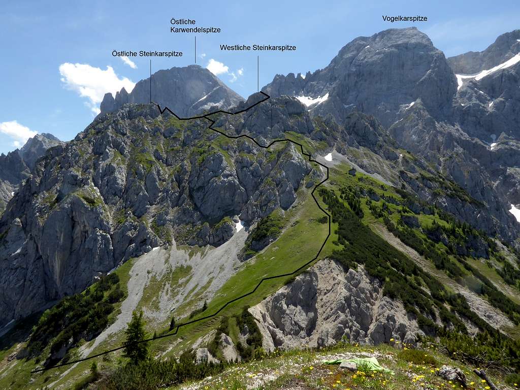
Main route from Hinterriß / Eng valley
- From Hinterriss parking area follow the road into the small village until another road branches off to the right (signposts for Rontal).
- Follow the forest road up to Rontalalm and beyond.
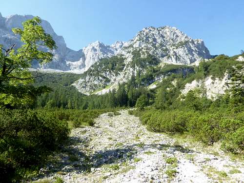
- 450 meters beyond Rontalalm a forest lane branches off to the right, follow it until it ends. Follow an unmarked track into dwarf pines and alongside a dry streambed until this trail ends, too.
- There are three braided streambeds; follow the middle one uphill. It seems not to be an active streambed and is more overgrown with plants and dwarf pines than the other two beds. This middle streambed unites with the left one about 450 meters from the end of the above mentioned track.
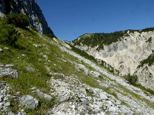
- At this point of the ascent, you will see thinning woods to your left. Leave the streambeds there, enter these woods and ascend steeply to the already visible timberline. You may find a narrow foot track zigzagging up to the timberline. Follow this foot track to the timber line and cross a scree field on it until you reach another unmarked trail to Wechselscharte; the trail junction is at the upper end of the scree slope.
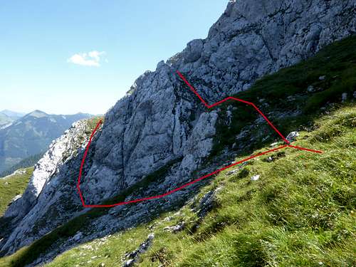
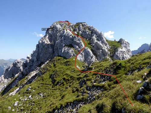
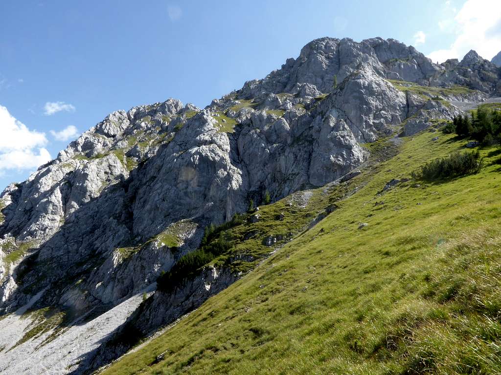
- Turn right on this track and follow it until you are below the col. Where the trail turns to the right, leave it and climb the meadow slopes straight up to the ridge between Wechselkopf and Steinkarspitzen. Turn left and follow this meadow ridge steeply up to a scree field (some cairns). Turn left, cross the scree field and ascend a steep slope up to a secondary ridge. From there navigate around a rock obstacle (above or below) and traverse the upper north slopes of Steinkarspitzen to the saddle between the two summits, using some ledges and chutes (steep, some rock scramble).
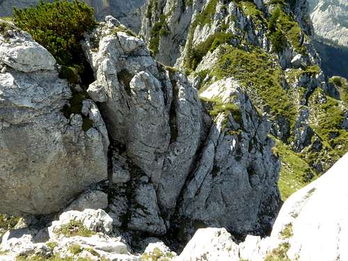
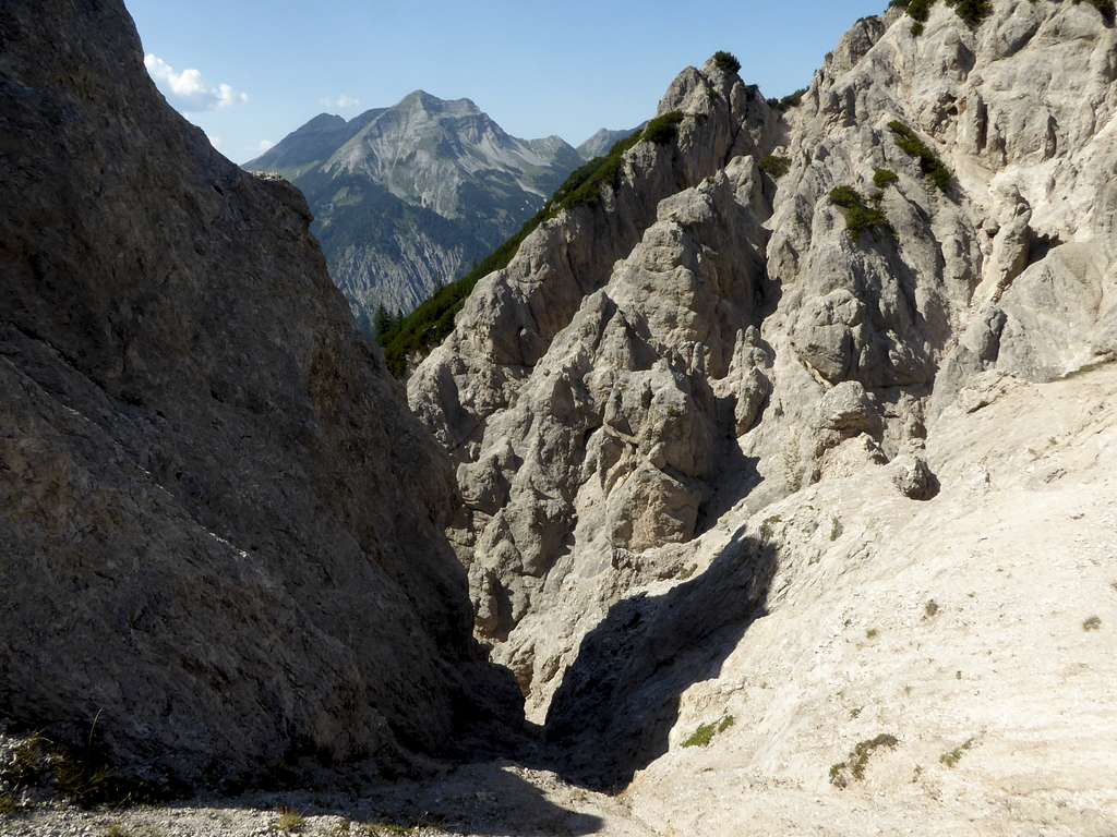
For Östliche Steinkarspitze go to the bottom of the summit west ridge, cross some easy rocks and ascend a steep meadow chute until it ends at rocks. Climb down the rocks into a notch, using a chimney – like crack; this is the crux of the route (grade II climb, exposed). Climb the rocks on the other side of the notch until you reach the summit ridge and the summit.
Westliche Steinkarspitze itself is divided in two different peaks. For the main summit keep on the north side of the summit east ridge, using meadow and rock ledges. Navigate around the steep summit rocks on those ledges to the arete east of the main summit. Follow shortly the arete to the summit. Grade II climb in parts required, exposed!
Steinloch route:
A remote adventure route!
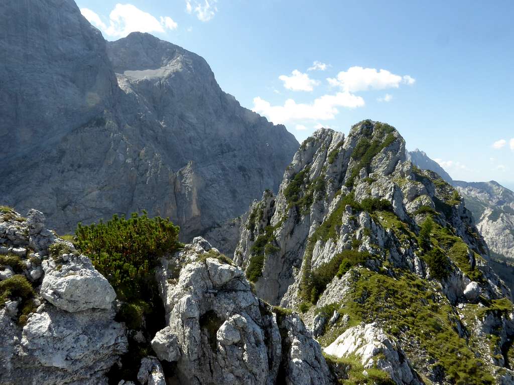
At the trail junction of the unmarked trail, coming from Rontalalm, with Wechselscharten trail, turn left and follow the Wechselscharten trail which ends soon at the beginning of a huge dwarf pine zone. There is another unmarked foot track starting from there upwards into dwarf pines and scree slopes. The track ends below the beautiful cirque of Steinloch.
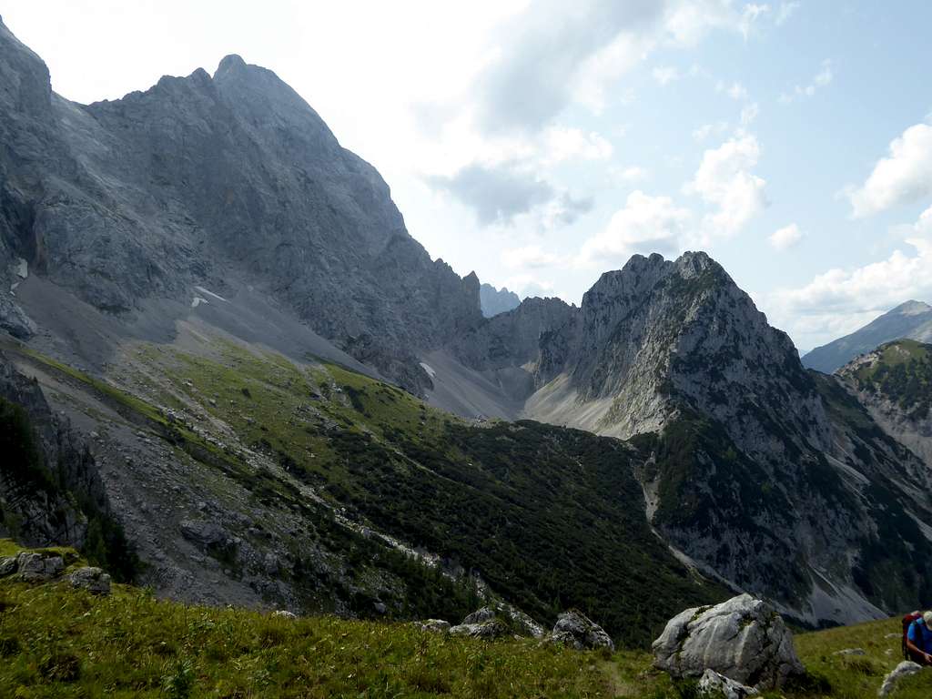
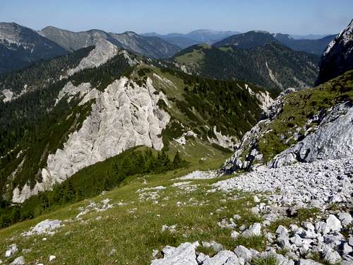
Best try to reach the south slopes of Steinloch and follow some chamois tracks in western direction. You are right below the huge norther rock face of Vogelkarspitze. Aim for a scree and meadow ledge which leads up to Steinloch col. Descend steeply on the west side of Steinloch col aiming for a scree field right of you and navigate round the west rock slopes of Westliche Steinkarspitze until you can ascend to Wechselscharte. All without trails or tracks. Wild!
Route from Mittenwald:
Mittenwald / Kasernen hiker parking area to Hochlandhütte:
Go south on the forest road, starting at the parking area, take the first trail to the left (signposts) up to another forest road leading into Gassellahnbach valley. Go left at a road junction and follow the road to its end. Follow the trail up to Hochlandhütte.
Route to Wechselscharte
From Hochlandhütte follow the trail up to Wörnersattel col, traverse the north slopes of Wörner and Hochkarspitze, passing Kampenleitenjoch, to a trail junction with the trail coming up from Fereinalm.
At this junction take the trail in eastern direction, traversing below Bäralplkopf and Schlichtenkarspitzen north slopes. Leave the trail below Wechselscharte col and gain the col on steep slopes off-trail and south (!) of the rock gully which goes down from Wechselscharte col into Fermersbach valley. Exhausting!
Proceed to the summits as described above.
Traverses:
From Wechselscharte to Wechselkopf and Rappenklammspitze, descent to Rontalalm and to Hinterriß. Long day!
Red Tape & Accommodation
Red Tape:
Westliche Steinkarspitze is completely located in Germany. The border to Austria runs over th summit of Östliche Steinkarspitze.
The austrian part of Steinkarspitzen belong to the Alpenpark Karwendel, an important and strictly protected National Park. One of the visitor information centers is located at Hinterriß
There is no entrance fee for the park but many regulations to follow.
Please respect the following rules in the National Park:

Accommodation:
Accommodation can be found at
Mountain huts:
- No mountain huts around for an overnight stay on the Rontal routes.
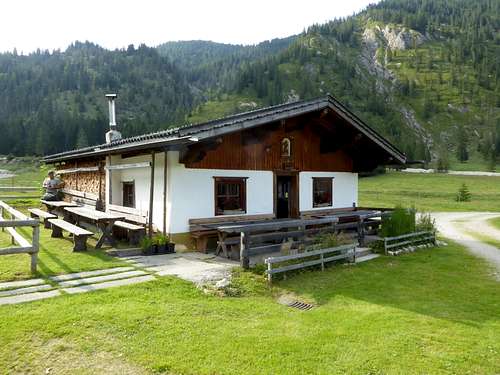
- Rontal Alm offers drinks and some simple food.
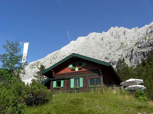
- The Mittenwald route, however, offer an overnight stay at Hochlandhütte
Camping is strictly forbidden within Karwendel national park.
Gear & Mountain Condition
Steinkarspitzen are a late spring, summer and autumn undertaking, depending on snow conditions, as many routes use the north slopes of the mountain.
You need normal hiking gear and good shoes. As the terrain is steep and as there are many parts without tracks and trails you need mountain experience for the routes.
For both summits a bit of climbing experience is required (rock scrambling, some grade II moves).
Weather condition:
Valley weather Hinterriß
Mountain weather Vogelkarspitze
Maps
Alpenvereinskarte 1 : 25.000
Blatt Nr. 5/2, Karwendel Mittleres Blatt
Online Shop Deutscher Alpenverein
together with
Alpenvereinskarte 1 : 25.000
Blatt Nr. 5/1, Karwendel Westliches Blatt
Online Shop Deutscher Alpenverein
both with trails and UTM grid


