
|
|
Mountain/Rock |
|---|---|
|
|
33.81544°N / 111.94137°W |
|
|
Maricopa |
|
|
Hiking |
|
|
Spring, Winter |
|
|
3398 ft / 1036 m |
|
|
Overview
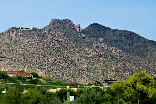 Zoom shot of Black Mountain from the east
Black Mountain is located in Cave Creek, Arizona, north of Scottsdale, Arizona. Despite being more than 10 miles outside of the main residential areas of the Phoenix suburbs, it is quite popular. Reaching the summit is easy, albeit steep. From the parking area, it is just over 1.1 miles to the summit, gaining over 1,200'. When viewing the mountain from the east, it is easy to tell how it got its name. The top of the mountain is tinted black.
Part of its appeal is that it is one of the higher summits in the Phoenix suburbs; and perhaps the most accessible above 3,000'. This height provides excellent views from a unique vantage point.
The best time to hike Black Mountain is between the months of October and April. Late spring and summer is generally very hot; and temperatures can exceed 100+ degrees.
Getting There
The trailhead is in a residential area in Cave Creek. From Cave Creek Road, just north of the mountain, head south on Schoolhouse Road. You'll see cars parked just a tenth of a mile down the road. You can park there and start up the road, which leads to the easy to find trail. It's easy to follow the trail all the way to the top with no difficult areas.
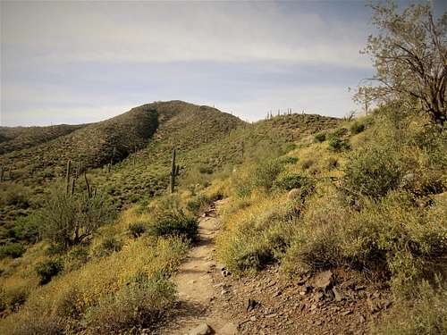 Starting up the trail
Red Tape
There are no fees, just make sure that you park legally.
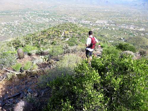 Looking back down towards Cave Creek from just below the summit
Camping
Camping is not typical around here. The mountain is in a well-developed residential area.
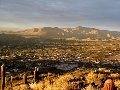 View at sunset
External Links
Scott Surgent page on Black Mountain