
|
|
Mountain/Rock |
|---|---|
|
|
35.86140°N / 51.49800°E |
|
|
Tehran |
|
|
Hiking, Mountaineering |
|
|
Spring, Summer, Fall, Winter |
|
|
10466 ft / 3190 m |
|
|
Overview
Darabad is one of the peaks in northeastern Tehran. Darabad peak and ridgeline are part of the Tochal ridgeline which extends from Ghoochak pass on the east to Lavarak peak on the west. There are hundreds of hiking trails in Tehran, and Darabad trail is one of the 5 most popular ones. What distinguishes this trail from the other 4 is the fact that there is only one restaurant there, so the trail is very clean and not that crowded. Here is a view from Water & Fire park in Tehran:
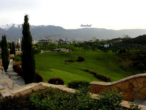
view from Water & Fire park in Tehran
On the foot of Mt. Darabad there used to be a village called Darabad which is currently a part of Tehran metropolitan area. The northern slopes of Mt. Darabad extends down to the villages of Ooshan and Hajiabad. They were planning to build a huge recreational center including ski resorts in Hajiabad and northern slopes of Darabad, but apparently the plan is on hold.
Getting There
To get to the summit of Darabad, you can go from any direction you want. You can start your hike from the village of Hajiabad in the north or from Darabad region in Tehran or from Piazchal on the west. I started my hike from Darabad region in Tehran. Here is the map at the beginning of the trail.
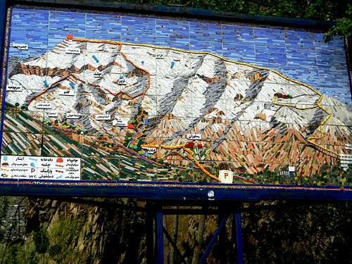
I took the orange route to go up, and took the yellow route to get down
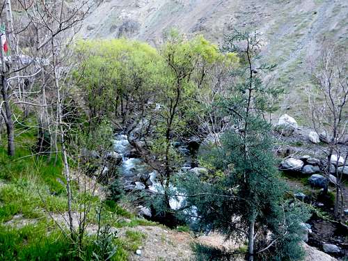
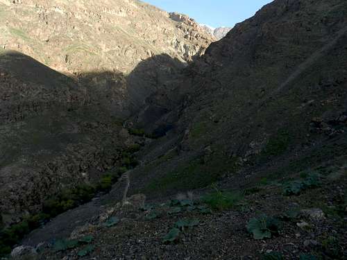
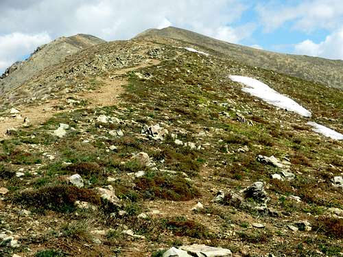
Here are some photos on the way up:
The beginning of the trail
Darabad canyon
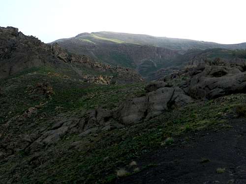
On the way up
Every year there are hundreds of people involved in the accidents in the mountains near Tehran. Some of them need to be airlifted to the hospitals. You may see some Helicopter langing sites in the mountains for this purpose.
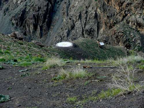
A Helicopter landing site
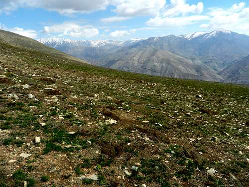
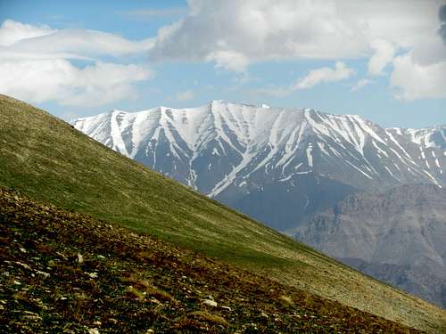
Here are more photos on the way to Darabad ridgeline:
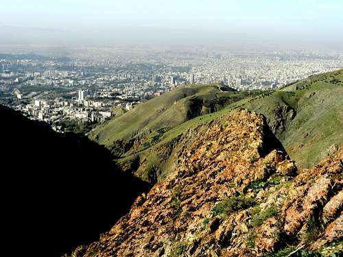
Tehran
Darabad peak
Piazchal
Piazchal
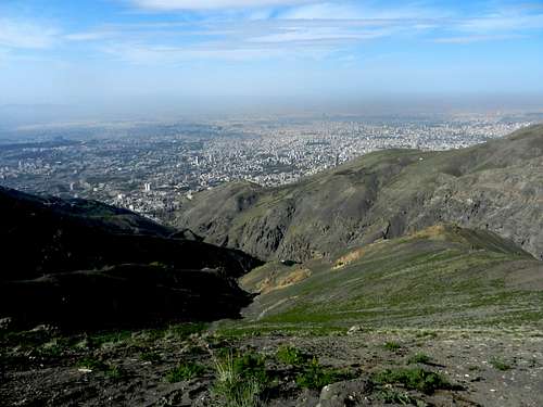
Tehran
Kolakchal and Piazchal
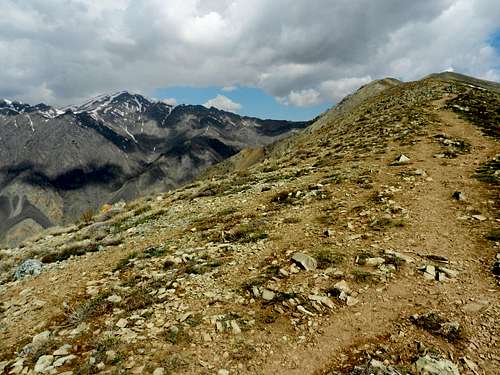
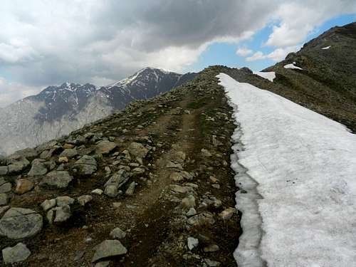
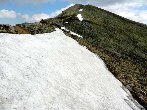
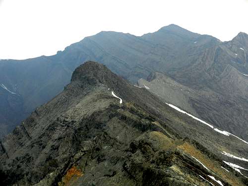
On the ridgeline
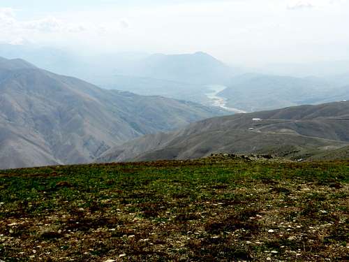
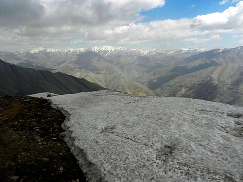
Latian lake
From Sarakchal to Mehrchal
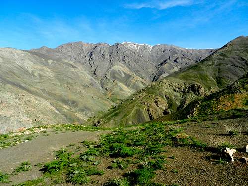
Sarakchal peaks
Mehrchal
Piazchal

Tehran from Darabad ridgeline

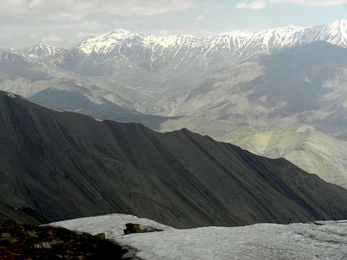
From Sarakchal peaks to Kharsang peaks
Tochal, Piazchal and Kolakchal
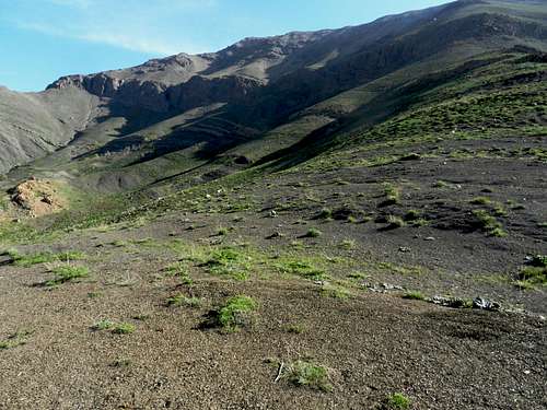
Northern slopes
Darabad peak
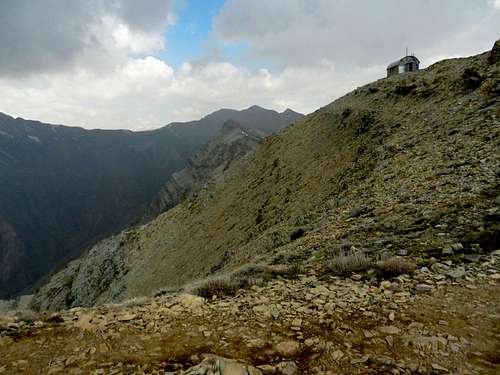
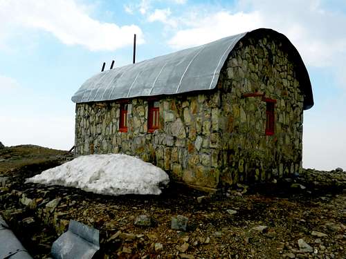
Darabad shelter
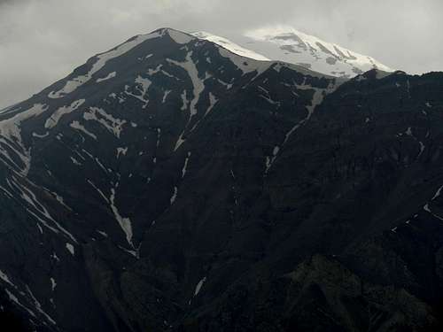
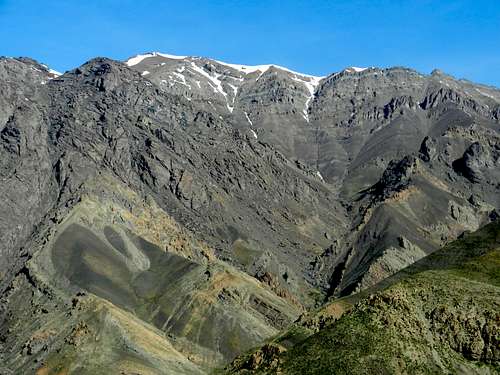
Tochal summit
Darabad summit
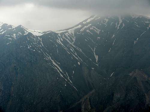
Siahband
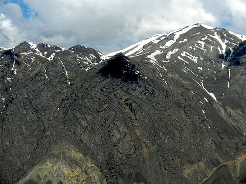
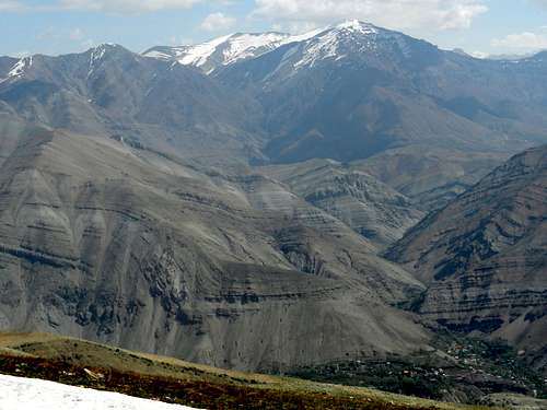
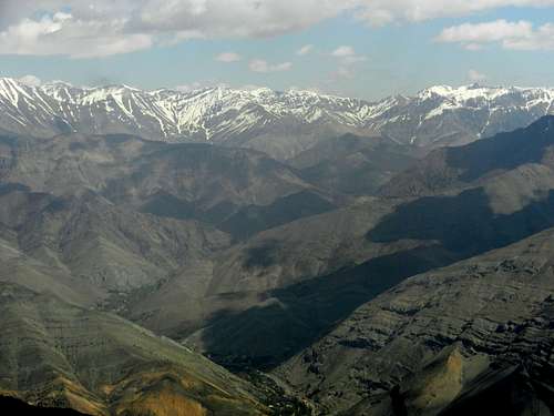
A part of central Alborz
Sehchal and Koloonbastak
Sarakchal peaks
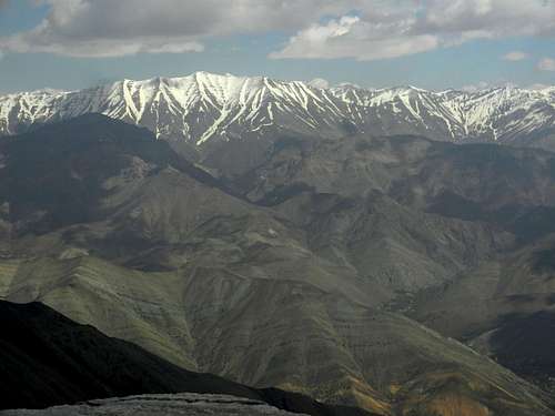
From Varzab to Kharsang peaks
Tochal disappeared
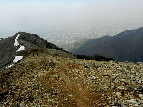
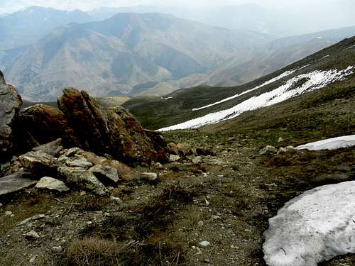
On the way down
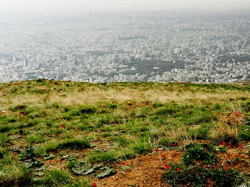
Tehran
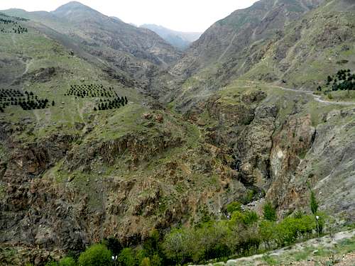
Darabad Canyon
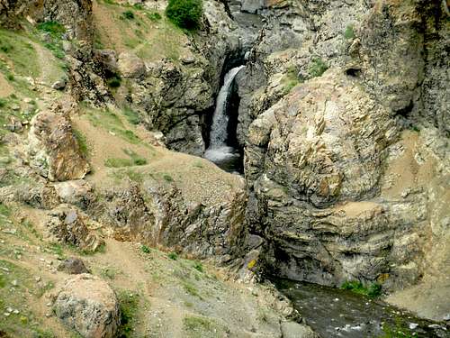
A nice waterfall