
|
|
Mountain/Rock |
|---|---|
|
|
33.75133°N / 112.08716°W |
|
|
Maricopa |
|
|
Hiking |
|
|
Spring, Fall, Winter |
|
|
2277 ft / 694 m |
|
|
Overview
Dixie Mountain is a summit in North Phoenix accessed from the Desert Vista Trailhead.
It is part of a mountain oasis that has quickly been surrounded by suburbia. As part of the Sonoran Preserve, it is protected from development, allowing people to enjoy some wilderness within the encroaching development.
There is an excellent trail network in the area, leading to a few summits in the area, including Union Hills Peak 2,383’ to the south and Western Vista 2,090’ to the west.
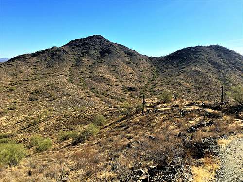
Dixie Mountain from the Western Vista Trail
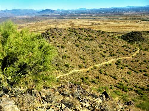
Looking down the mountainside from the summit of Dixie Mountain
Dixie Mountain is accessed by using Dixie Mountain loop. Western Vista can also be hiked from the Dixie Mountain Loop.
Expect company in weekend mornings; particularly during the colder weather months. While not yet a well-known trailhead in the Phoenix area, there isn’t many parking spots at the trailhead itself.
The best time to hike here is during the colder weather months; particularly October through April.
Getting There
The Desert Vista Trailhead is at 1901 W Desert Vista Trail, Phoenix, AZ 85085. It is located not far off of I-17 at exit 219 for Jomax Road. It is easy to find with your phone or navigation. The trailhead entrance is right past a series of condos. There is a Do Not Enter sign with warnings of tire damage. That just refers to the left lane. The right lane enters the road to the trailhead.Route
From the trailhead, take the main Hawks Nest Trail for a little over a third of a mile, and then you reach the Dixie Mountain Loop. You can continue on the trail which reaches Dixie Mountain 1.6 miles from the trailhead, via a 0.2 mile summit trail. The elevation gain is 720’. You can return the way you came or you can continue on and take the loop the other way around.
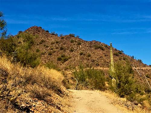
View to Dixie Mountain from the south loop
You can also turn left and take the longer northern loop. From there, it is 3.5 miles to the summit gaining 1,030’. You can easily add Western Vista 2,090’ via an off-shoot trail that adds about 0.7 miles total to the trip and an additional 320’.
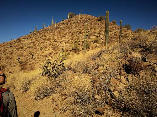
View along the north loop
Red Tape
The trailhead is closed at night, meaning the gate may be closed and hikers would need to park at the Norterra Community Center, which would add about a quarter mile each way to the start of the trail. The trailhead hours are 5am to 7pm. There is no fee to park.More details are found here: https://www.phoenix.gov/parks/trails/locations/sonoran-preserve