
-
 1138 Hits
-
 73.81% Score
-
 4 Votes
|
|
Mountain/Rock |
|---|---|
|
|
35.89662°N / 51.40900°E |
|
|
Shahrakestan Shemiran |
|
|
Summer |
|
|
Overview
Ghezghoonchal Peak is part of the Alborz’ Tochal ridge north of Tehran. Its name is derived from the Turkish word ‘Ghoozghoon” which is the Alpine Chough, a bird common in mountainous areas in most of Europe and Asia.* Maps produced by the Ghitashenasi Geographical & Cartographic Institute such as the Guide Map for Climbing the Peaks of Central Alborz issued in 1999 and the Atlas of the Shemiran Subprovince of 2002 chart Ghezghoonchal Peak at 3.780 m.
* Source : Ali Fard, mountain guide with the Mount Damavand Guides Iran - http://www.damawand.de
Getting There
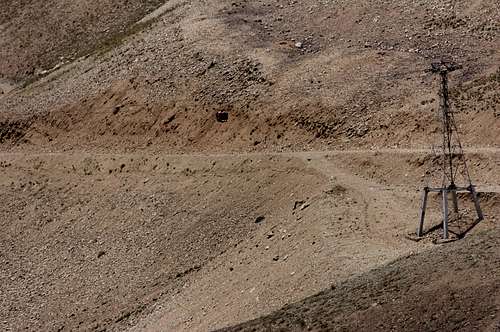
At the top of the steep Velenjak Blvd in northern Tehran, there is an asphalted promenade leading to the ‘Tochal Telecabin’ cable car station at 1.900 m. From there you can either use the cable car or hike (not recommended in summer) to the cable car terminal situated at 3.746 m. A 200 m hike or a ski lift downhill will take you to the Tochal Hotel, half Ski resort and half mountain hut, situated at 3.550 m. Ghezghoonchal Peak can be accessed from there.
Tochal Telecabin cable car
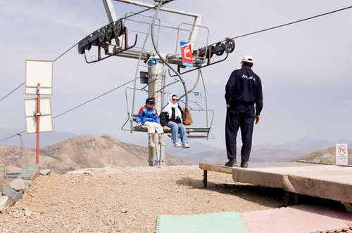
Tochal Ski lift
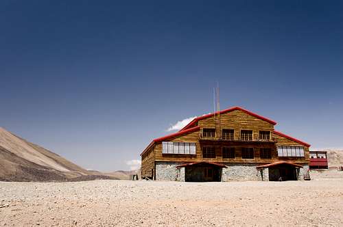 Tochal Hotel
Route Description
Ghezghoonchal is a prominent summit in the plateau surrounding the Tochal Hotel. It is also quite remarkable for its peculiar green colour. From the hotel a dirt road will cover part of the hike in North eastern direction, after which you cross hilly meadows in the general direction of the summit. There is no trail.
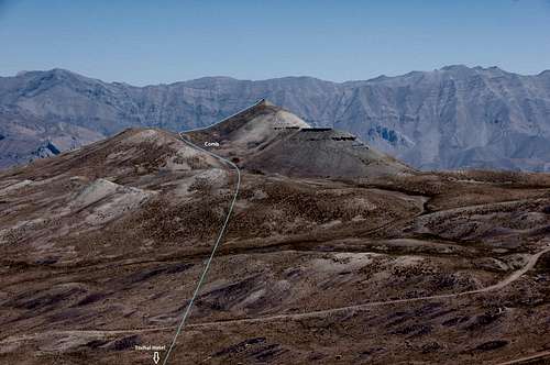
Ghezghoonchal Itinerary
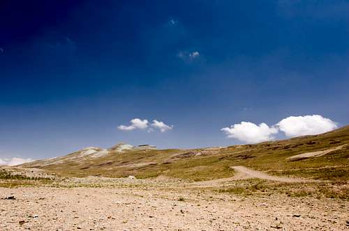
Ghezghoonchal seen from Tochal Hotel
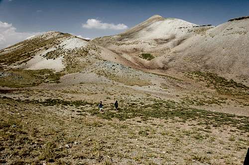
Meadows before Ghezghoonchal
Meadows before Ghezghoonchal
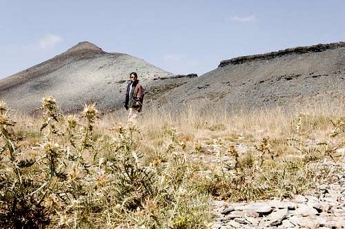
You easily reach the comb on the western side of the mountain where the meadows make place for gently rising gravel in Northern direction.
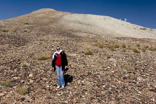
Rocky Ghezghoonchal comb
Final Ghezghoonchal slope to summit
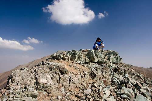
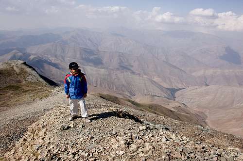
Ghezghoonchal summit
Essential Gear
Mountain boots type C or D, water, sun lotionExternal Links
http://gitashenasi.com/index.php?route=common/home
https://www.summitpost.org/detailed-map-of-central-alborz-mountains/189982/c-154322
https://www.summitpost.org/ghezghoonchal/651999
http://www.hikr.org/gallery/photo1662234.html?post_id=90167#1
http://www.hikr.org/gallery/photo1661993.html?post_id=90167#1
http://www.hikr.org/gallery/photo1662160.html?post_id=90167#1