
|
|
Mountain/Rock |
|---|---|
|
|
36.14230°N / 51.43240°E |
|
|
12160 ft / 3706 m |
|
|
Overview
NAME ALERT: Many maps use the name “Kharsarak” in reference to the nearby Kaman Kooh Peak. These maps often leave this peak (the 3706 m peak) nameless.Click for Introduction to the Central Alborz Mountains
Click for a Map of Kharsarak area mountains.
My GPS/Altimeter measured the elevation of this peak at 12190 ft (3715 m). The 3706 m figure is per the 1:50 000 map.
Kharsarak rises above the Varengeh Rood River Valley in the Central Alborz Mountains of northern Iran. Except to the north where a 3524 m saddle connects it to Sootak the Small (3845 m), Kharsarak is otherwise surrounded by deep valleys that separate it from the nearby peaks. To the south, the slopes of Kharsarak drop steeply to the bottom of the Varengeh Rood River Valley (2700 m). To the east and west, minor branches of the Varengeh Rood River separate Kharsarak from Sorkhab (3792 m) & Kaman Kooh (4234 m) respectively.
Being one of the lower peaks of the area, Kharsarak is rarely a destination by itself, however, the fact that it sits near the way to the more popular peaks such as Kaman Kooh (4234 m) or Azad Kooh (4390 m) make it an easy target for peak baggers.
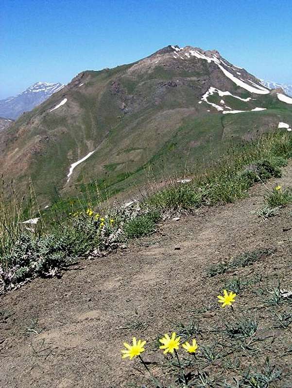
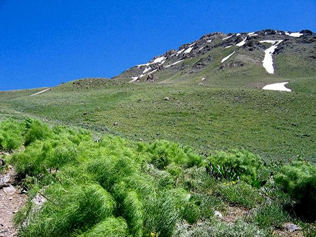
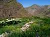
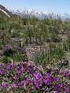
The easiest way to climb Kharsarak is via the 3524 m saddle. This saddle is a 10 Km hike from the village of Varengeh Rood. A small stream-side shelter, about 200 m below the saddle, provides an ideal spot for overnight camping. The saddle and the slopes around it are covered by beautiful flowers and other vegetations. In some places, especially by the streams, you will find dense growths that are up to one meter tall. From the saddle, a short hike will take you to the base of the summit which is broad and rocky requiring some Class III scrambling. The summit will provide you with great views of the surrounding mountains.
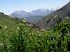
Views from the summit
 |  | 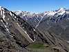 | 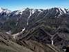 |  |
Getting There
Directions to Varengeh Rood Village
From downtown Tehran drive the Tehran-Karaj Freeway 40 Km west to the town of Karaj and take the Chalus Road exit. Drive the Chalus Road up the mountains roughly 70 Km till the junction of the road that goes to Dizin Ski Area (2250 m). Turn onto this road and follow it a few Km till you see a side road on the left that goes to Varengeh Rood Village (2325 m). Turn onto this road and follow it a few Km till the end of it at the village (2450 m).
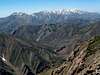
More views from the summit
 |  | 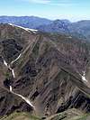 |  |
Red Tape
No fees. This is a protected area. Hunting is prohibited.
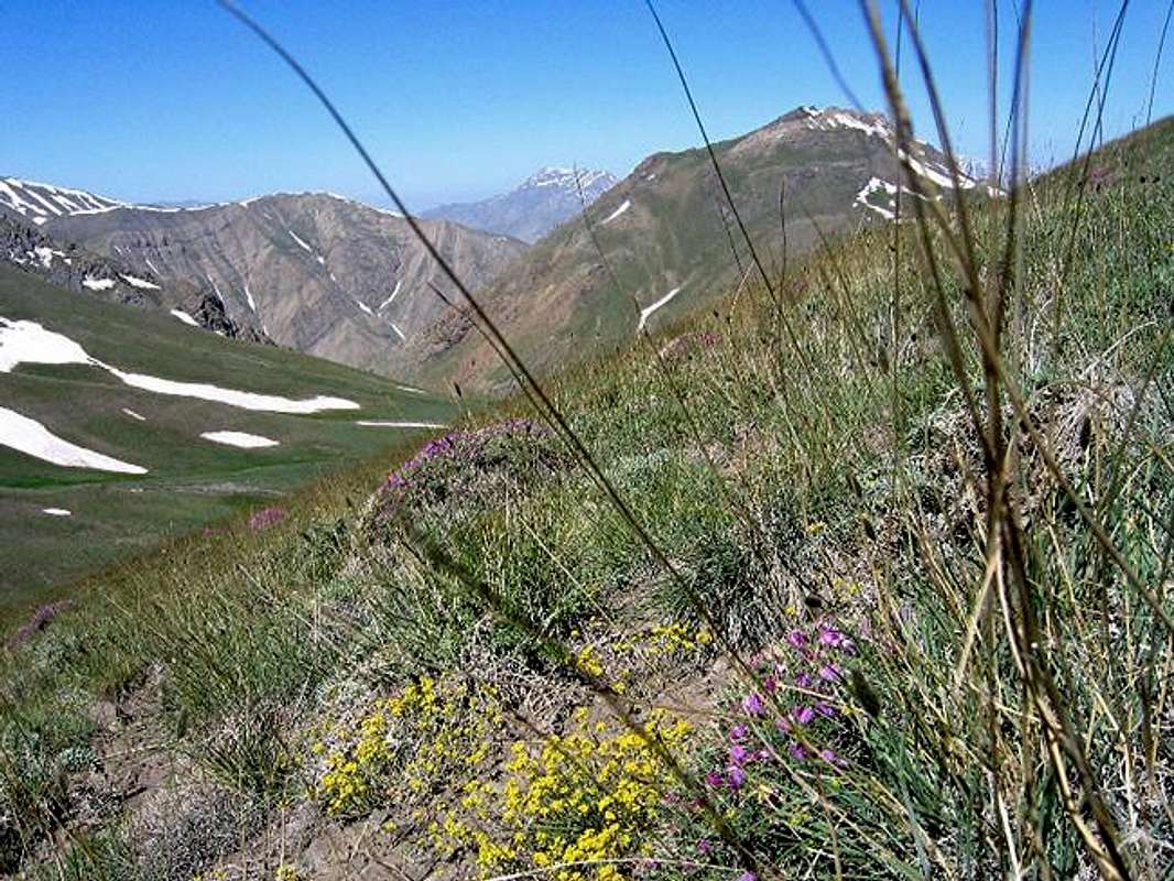
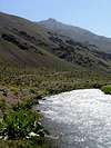
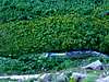
Varengeh Rood Valley views
 |  |  |
When To Climb
Easiest in summer (mid June to early October). I personally like late June/early July when there is much snow on the mountains. The grass on the lower slopes is green and flowers are in bloom. Snow on higher slopes will obviously make the climb more difficult.Winter climbing will obviously require special training/equipment.
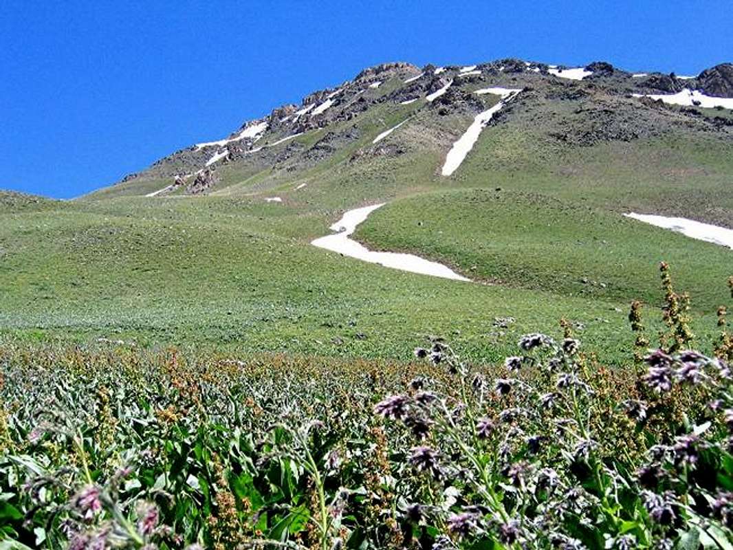
Area flowers/Vegetation
 |  |  |  |  |