
|
|
Mountain/Rock |
|---|---|
|
|
35.88772°N / 51.72886°E |
|
|
Tehran |
|
|
Hiking, Mountaineering |
|
|
Spring, Summer, Fall, Winter |
|
|
10400 ft / 3170 m |
|
|
Overview
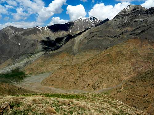
In Lavasanat region in northeastern Tehran there is a ridgeline with the average height of 3000m going from south to north. This ridgeline, called Parsoon ridgeline, is about 6km long, and it consists of several peaks. The last 3 peaks in the northern side are higher than 3000m. Parsoon peak at 3170m is the highest.
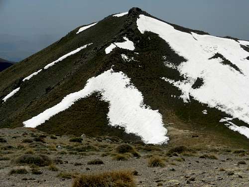
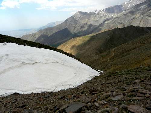
This season (2013/2014), The Alborz mountain range experienced the worst drought on record. The precipitation was the lowest ever. Therefore, as the pictures show the snow cover is not that much compared to what you see in a typical year.
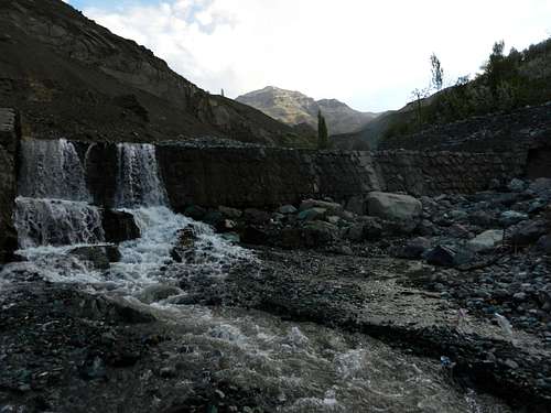
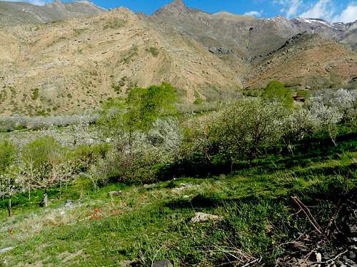
The most popular starting point to climb Mt. Parsoon is the village of Afjeh. From Afjeh it takes about 45 minutes to get to a place called Dasht-e Havij (Carrot plain). Apparently, they used to grow carrots in this area.
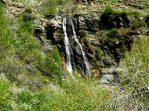
Here are some pictures I took on my way to Dasht-e Havij:
Mt. Rizan
Afjeh waterfall
Mt. Rizan
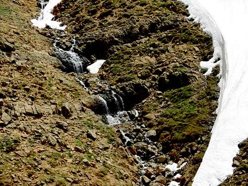
Nice waterfalls
Atashkooh and Saka
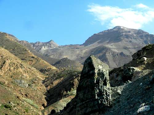
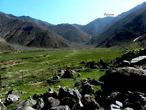
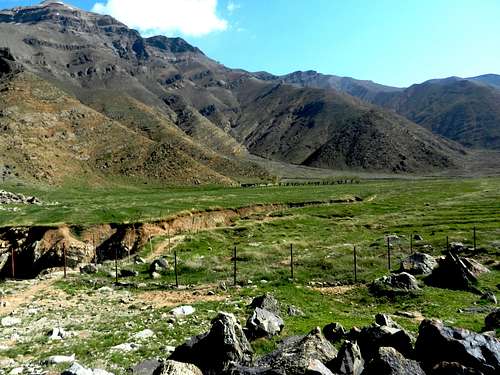
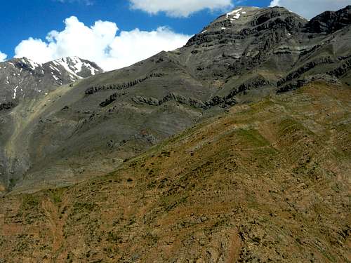
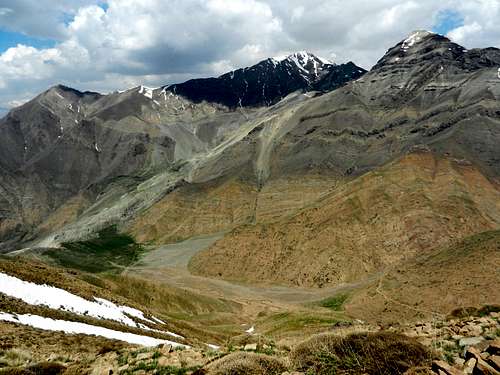
Dasht-e Havij is 2400m above sea level, and you can climb several peaks from there including Saka (3320m), Atashkooh (3720m), Rizan(3570m), Siahriz (3300m), siahchal (3350m), Sarsiahghar (3420m), Parsoon(3170m), Dashteh (3100m) and the other peaks in Parsoon ridgeline. Here are some views from Dasht-e Havij:
Mt. Parsoon
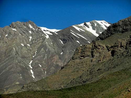
Mt. Rizan
Rizan and Atashkooh
The village of Afjeh
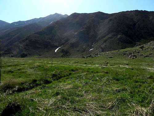
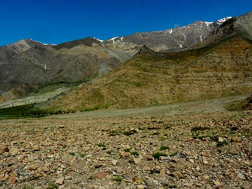
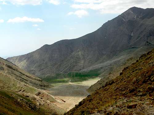
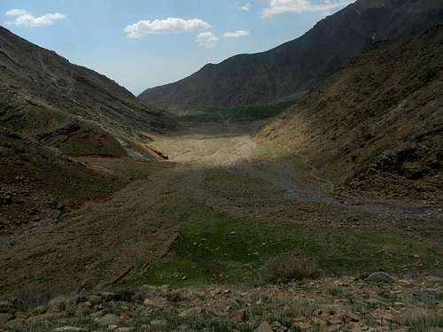
Dasht-e Havij

Dasht-e Havij
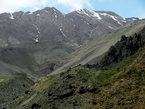
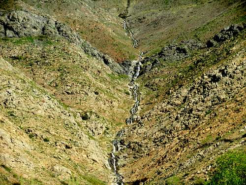
Mt. Atashkooh and the waterfalls
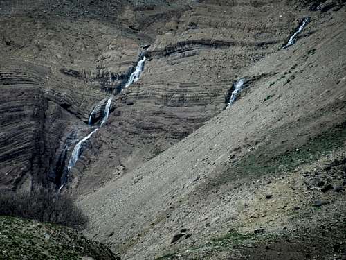
A close-up view of the waterfalls

Mt. Rizan
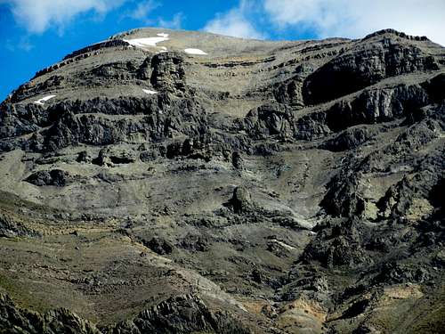
Mt. Atashkooh
Mt. Rizan
Saka and Atashkooh

Mt. Saka
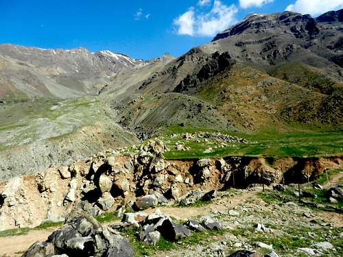
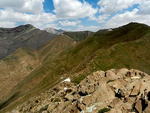
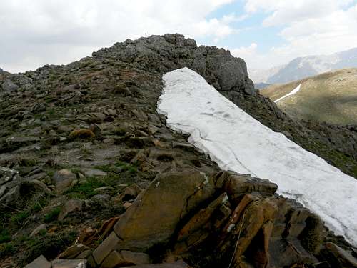
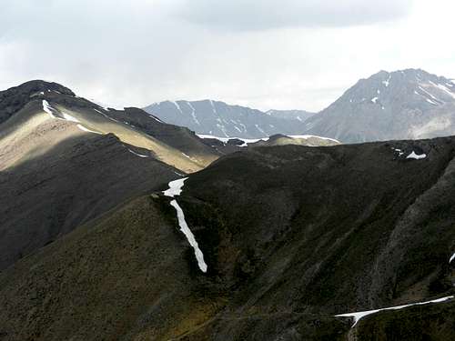
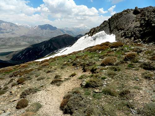
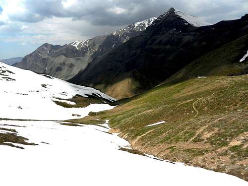
Since I was planning to hike the last 3 peaks in Parsoon ridgeline, I didn’t take the normal rout which takes you to the saddle between Parsoon and the last peak. Instead, at some point close to the end of the Carrot plain, I climbed a slope to the right to get to the ridgeline somewhere before the last 3 peaks. The following photo shows the slope I took to get to the ridgeline:
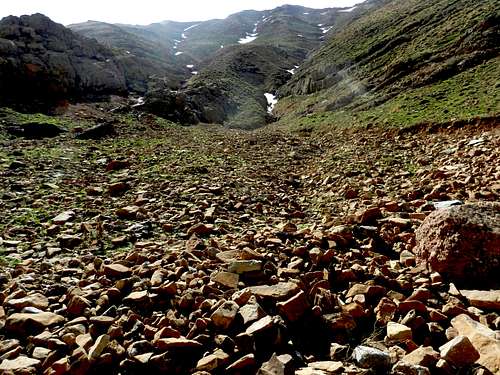
The slope
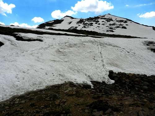
Here are some Pictures I took on the way to the ridgeline:
Atashkooh and Rizan
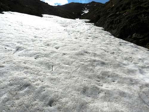
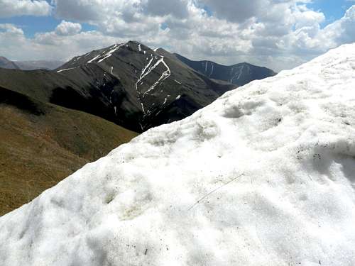
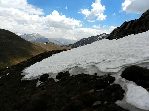
A snow field
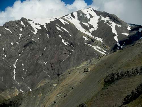
Atashkooh

Mt. Parsoon
Saka, Atashkooh and Rizan

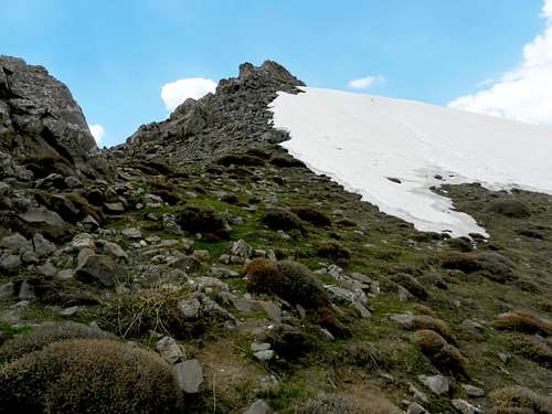
Getting close to the ridgeline
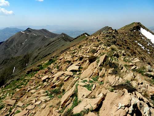
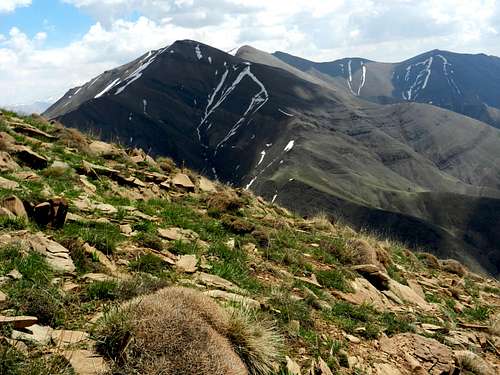
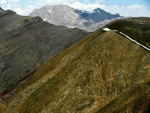
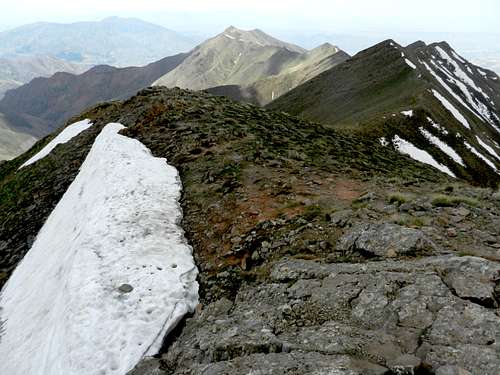
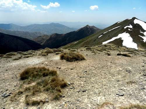
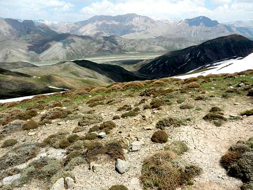
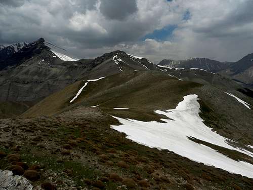
When I reached the ridgeline, I hiked towards the summit of Dashteh (3100m). Dashteh is the first peak higher than 3000m in the ridge as you go from south to north. Here are the views from the ridgeline:
Looking south
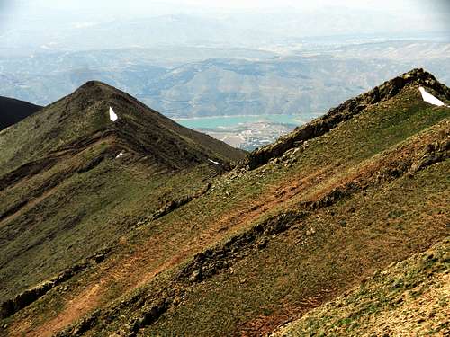
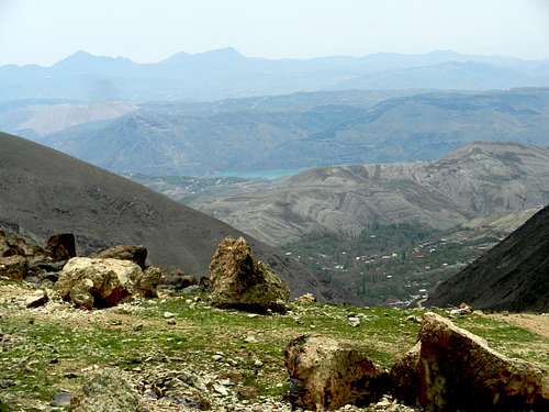
Latian lake
Gavbini and Sarsiahghar
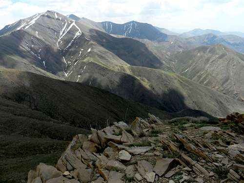
Dashteh
Saka, Atashkooh and Rizan
Sarsiahghar
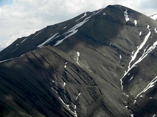
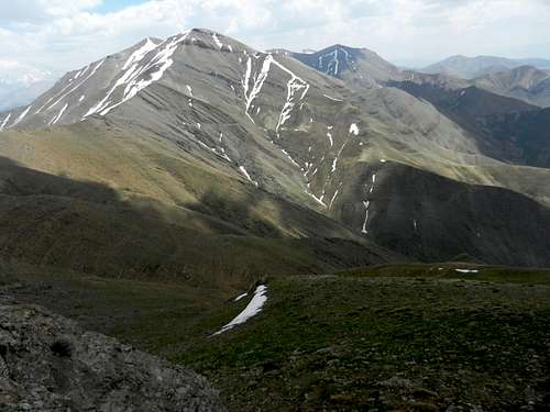
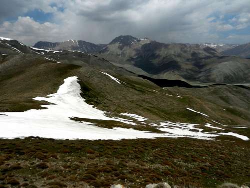
here are the views from the summit of Dashteh:
Mt. kamardasht
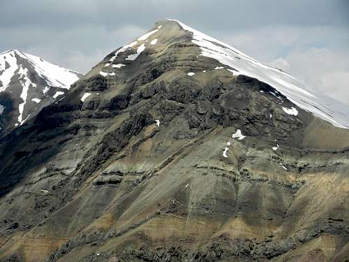
Parsoon
Siahriz, Kafareh and Parsoon
Mt. Kafareh
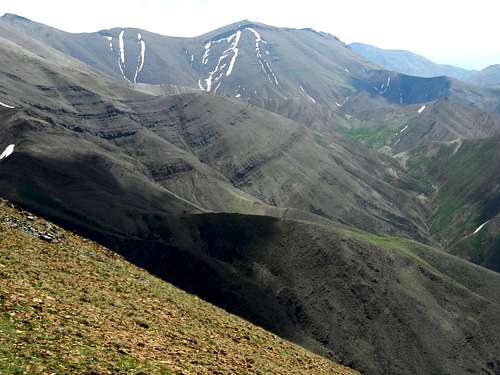
The ridgeline
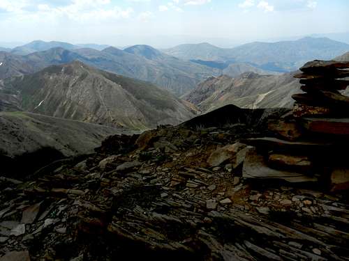
Looking SE
Looking east
Looking ENE
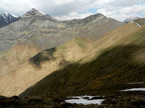
Atashkooh, Rizan, Siahriz and Kafareh
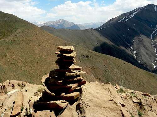
Summit of Parsoon
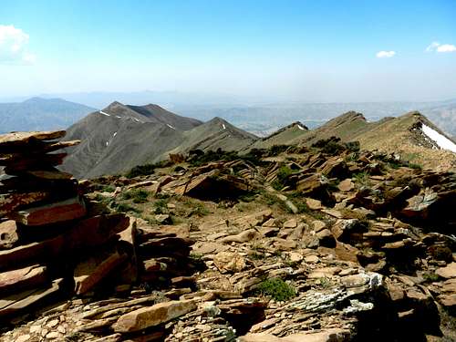
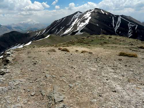
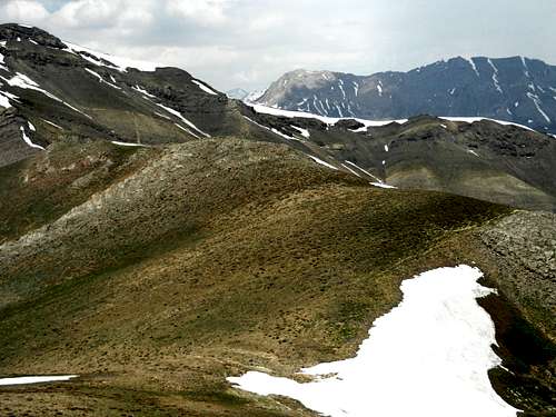
The next peak after Dashteh is Parsoon (3170m). Many peaks in the Alborz including Damavand are visible from the summit of Mt. Parsoon. Here are some views from there:
Looking south

Looking SE
Siahchal and Gavbini (Looking east)
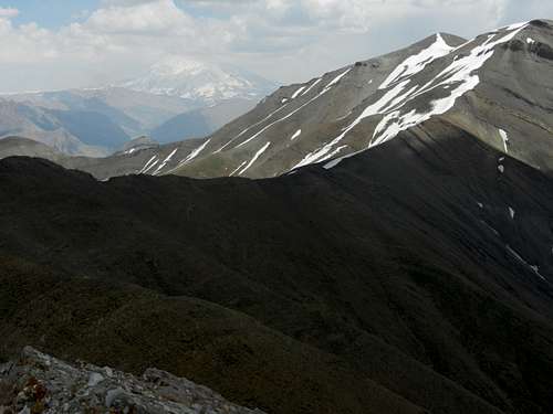
Damavand and Siahchal

Damavand

Asemankooh, Kamardasht and Damavand
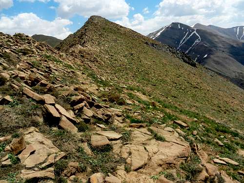
The last peak on the ridge
Siahriz, Kasoonak and Kafareh

Atashkooh, Rizan, Siahriz and Kasoonak
Atashkooh and Rizan
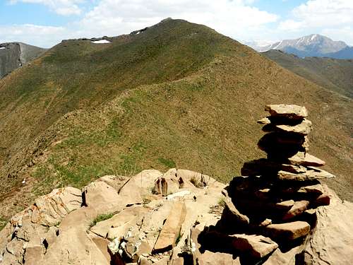
Parsoon summit
The next peak is the last peak in the Parsoon ridgeline. This peak is also on the Siahriz-Siahchal ridge. Here are some photos on the way to the peak.
Kamardasht, Damavand and Siahchal

Atashkooh and Rizan

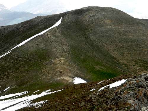
Parsoon north face
When you get to the last peak of the ridge, The Lareh (or Lar the small) plain will be also visible. Lareh plain is different from Lar plain. They join together at some point down to the east. Here are some photos from the summit of the last peak:
Parsoon summit
Looking SSE
damavand and Siahchal
Kamardasht and Damavand
Asemankooh and Kamardasht
Kafareh, Kasoonak and Shivarkesh
Kasoonak, Shivarkesh and Siahriz
Atashkooh, Rizan, Siahriz, Shivarkesh and Kasoonak
On the way back I took the normal route. Here are some photos I took on my way back to Dasht-e Havij:
Saka, Atashkooh and Rizan
Parsoon north face
Saka
Tiny waterfalls
Saka
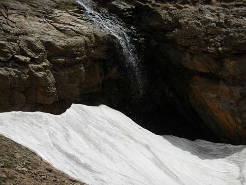
Another tiny waterfall
Back to Dasht-e Havij
Getting There
To get to the village of Afjeh, you need to take Lashgarak road in northeastern Tehran which takes you to the small town of Galandovak. At the end of the main boulevard take Sinak road which takes you to the village of Afjeh.