
|
|
Mountain/Rock |
|---|---|
|
|
39.52168°N / 106.12137°W |
|
|
Summit |
|
|
Mountaineering |
|
|
Summer |
|
|
12866 ft / 3922 m |
|
|
Overview
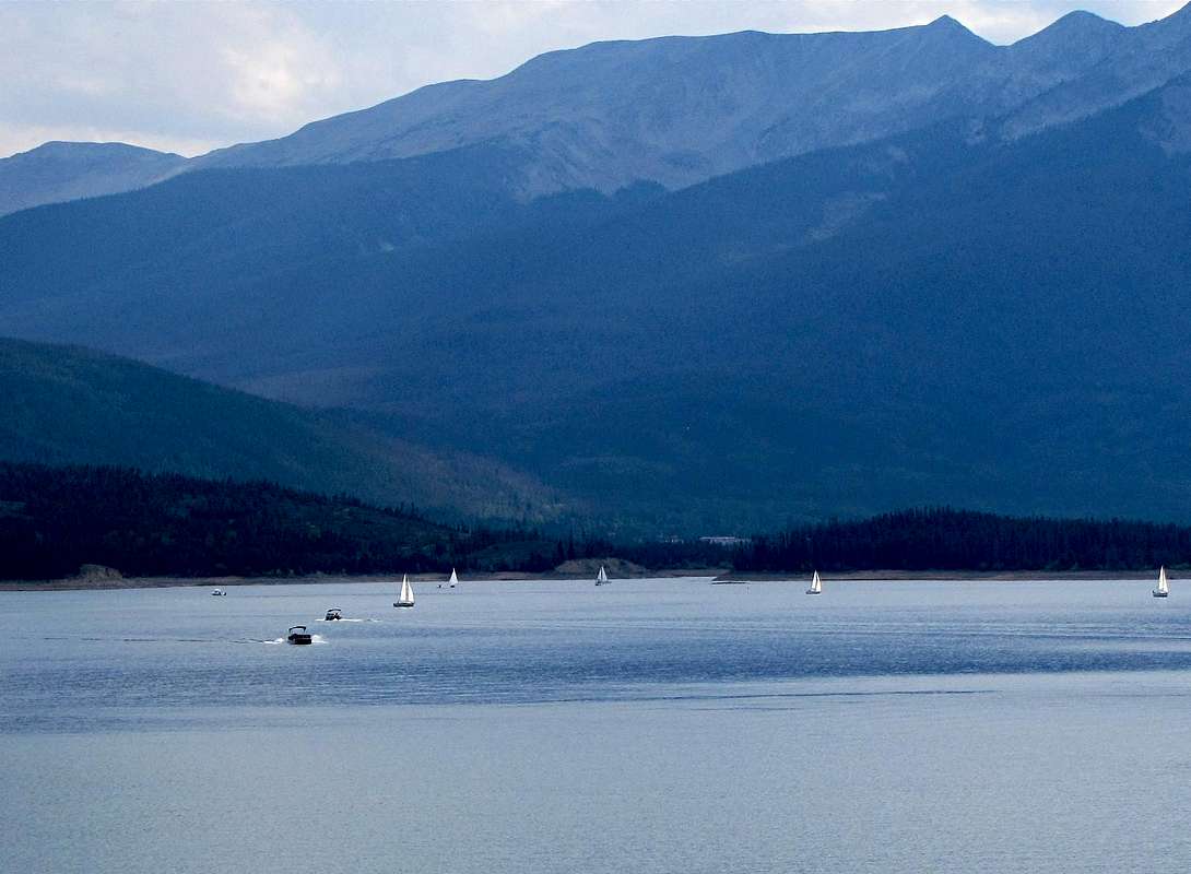
Peak 3 on the right, Peak 4 to the left of it. East face, from Dillon Lake
West face, Peak 3 on the far left. Peak 4 to the right of it

East face

NW face

NW face

West face

West face
East face
Rank: Peak 4 is Colorado’s 742nd highest ranked peak.
Prominence: 486 ft
Central Colorado’s Tenmile Range stretches from Hoosier Pass to the south to Dillon Reservoir to the north. The 10 peaks that form the northern-most portion of Tenmile Range create an 8.5 mile long wall that is only one peak wide and runs north-south separating the valley of Blue River to the east (where Route 9 runs) from the valley of Tenmile Creek to the west (where Route 91 runs). North to south, the 10 peaks are as follows:
Peak 1 (12805 ft)
Tenmile Peak (12933 ft)
Peak 3 (12676 ft)
Peak 4 (12866 ft)
Peak 5 (12855 ft)
Peak 6 (12573 ft)
Peak 7 (12655 ft)
Peak 8 (12987 ft)
Peak 9 (13195 ft)
Peak 10 (13633 ft)
(Peaks 1, 3, 5, 6 and 7 have less than 300 ft of prominence and are therefore not ranked).
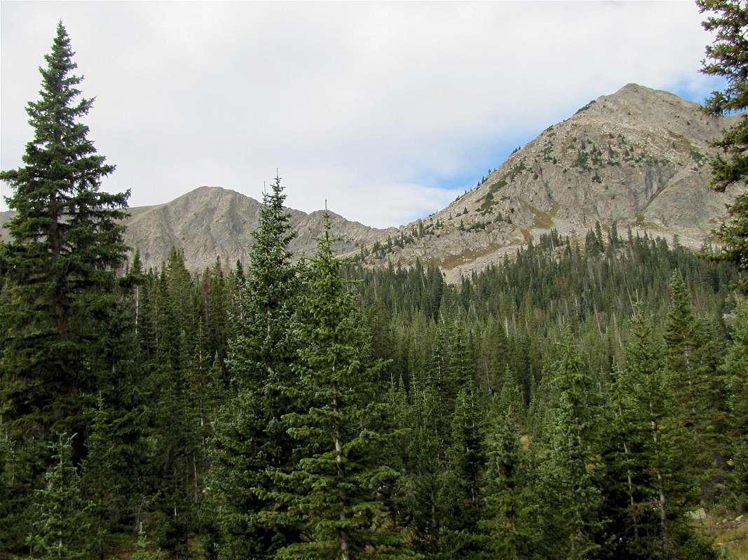
Peak 4 is visible from I-70 near the town of Silverthorne. From this area, however, the view is dominated by Peak 1 and Peak 2 (Tenmile Peak). If you drive south on Route 6 on the eastern shoreline of Dillon Reservoir, the east face of Peak 4 will come into full view. The western slopes of Peak 4 drop steeply to the bottom of Tenmile Canyon where I-70 runs. These impressive slopes along with the summit of Peak 4 can be seen from I-70.
To the north, a jagged ridgeline connects Peak 4 to Peak 3 and then Peak 2 (Tenmile Peak). To the south, the ridgeline becomes broad and grassy giving rise to two high points known as Peak 5 and Peak 6.
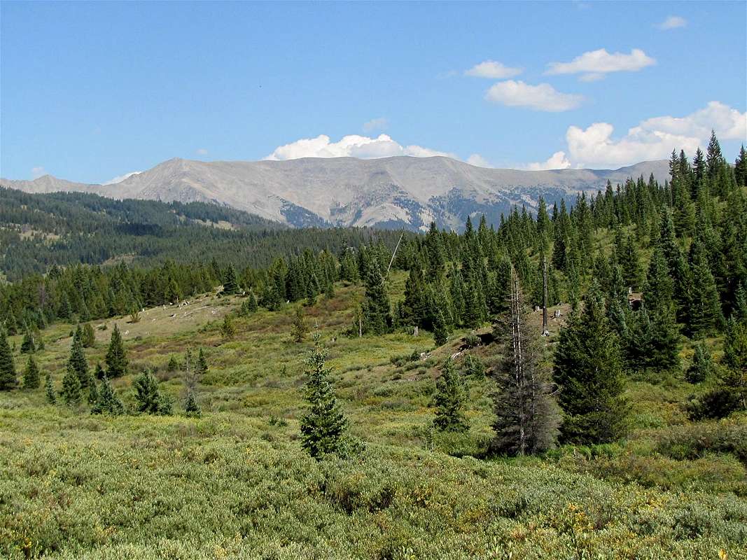
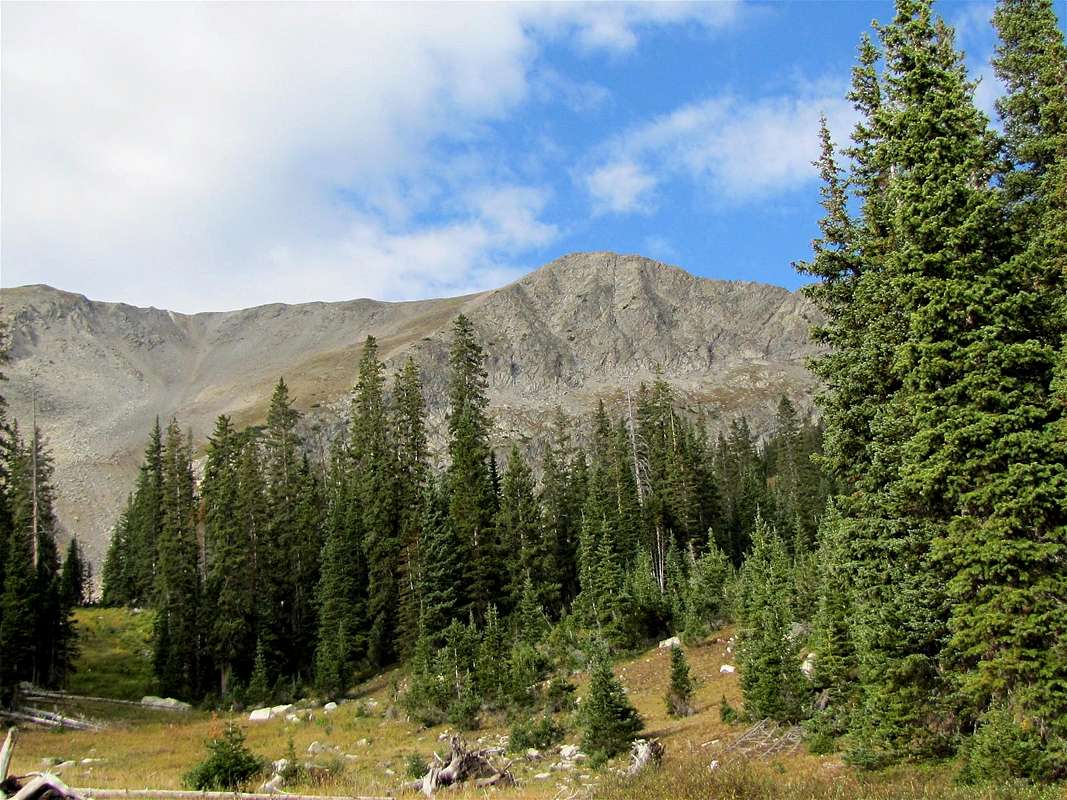
A number of hiking and mountain biking trails crisscross the eastern and the western slopes of the Tenmile Range. Miners Creek trail crosses from the east to the west side of Tenmile Range over the crest of the ridgeline between Peaks 5 and 6. For a more direct approach to Peak 4, you could leave Miners Creek trail when it goes above tree-line below the summit of Peak 4 on its east side (see Route Page for details).
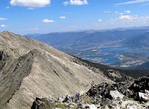
From the summit of Peak 4 you will have fantastic views of Dillon Reservoir as well as the towns of Silverthorne and Breckenridge. I-70 can be seen running 3000 vertical feet down at the bottom of the Tenmile Canyon. Copper Mountain Ski Area will be in full view.
East face of Peak 4
(L) Peak 4 & (R) Peak 3
Getting There
Directions to Miners Creek Road/”Peaks Trail” Trailhead:Take Exit 203 on I-70 and turn south onto Route 9. Drive approximately 2.5 miles through the town of Frisco. At the sixth traffic light, turn right onto Peak One Boulevard. After a short distance, you will have to turn right onto a small road (you may see signs for Miners Creek Road/Rainbow Lake Road and can follow them). Cross the bike trail and make an immediate left turn onto Miners Creek road and head south. After a few hundred feet, you will see a parking area/trailhead on the left. I chose to park here because it was not clear to me if I could drive further south on Miner Creek Road, which looked like a bike trail and not a road.
With 4WD, you can drive up Miners Creek Road to 10550 ft.
Red Tape
No fees or permits needed for day hikes.
Map
Weather
Click for forecast for the Gore Range.Forested slopes
 Peak 4 from near TH | |  Miners Creek Trail | |  Marmot | |
 Peak 3 to 2 ridge | |  Uprooted tree | | 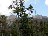 Peak 1 & Peak 2 | |
Below the Summit
 Peak 4 | |  Peak 2 & 3 | | 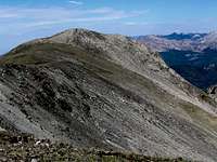 Peak 4 | |
Views from the Summit

Peak 2 & 3 Plus Gore Range
Peak 2 & 3 plus Dillon Lake

Copper Mountain Ski Area
 Mt. Silverheels | |  Grays & Torreys | |
 Bald Mtn & Breckenridge | |  Mt. of the Holy Cross | |

Route 91 & Quandary Peak

Gore Range

I-70, Tenmile Canyon & Uneva Peak