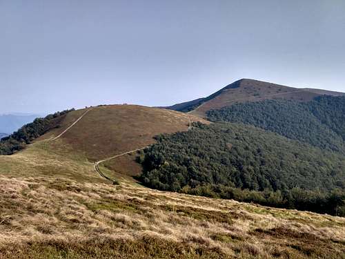
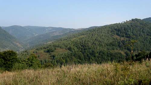
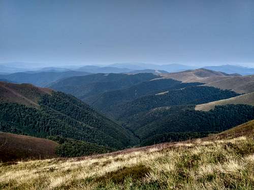
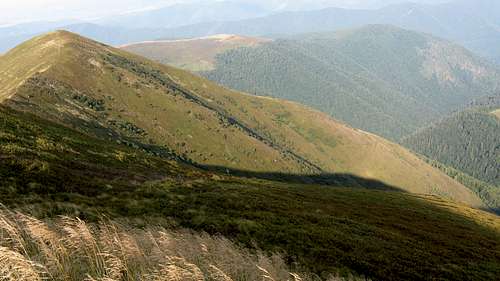
Borzhava is a model of a 'polonyna', i.e. a mountain range in the Northeastern Carpathians that features a vast subalpine pasture (also called 'polonyna') located above timberline, or rather at where the natural timberline ran, as it has usually been considerably lowered by man. The range is almost 50 km long, stretches between the Vicha (or the Latorytsa) River in the northwest and the Rika River in the southeast and is divided into three segments. (If the Latorytsa is considered to be the northwestern boundary, then there will be one more segment, the Bozheva Ridge at 1095 m.)
Massif
Photo
Location/Delimitation
Length/Elevation
Characteristics
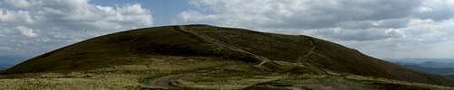
Polonyna Borzhava
Western/Tsitska-Prislip Pass
25 km/1692-1209 m
Rolling summits, vast patches of berries, virtually no sheepfolds
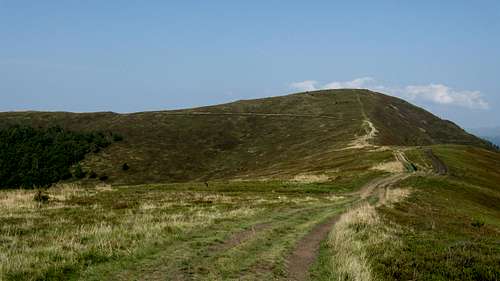
Polonyna Kuk
Central/Kamianka-Volosianka
8 km/1361 m
Distinct massif rarely visited as there are no waymarked routes
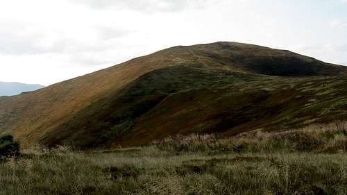
Palenyi Grun
Eastern/Korytyshche-Vala-Techera
15 km/1162-945 m
Remote ridge with romantic glades enwrapped in pristine beech woodland, no signs of human activity except the only sheepfold under the summit of Skalia
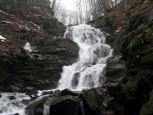
The cross profile of the main ridge is asymmetric and the contrast between the northern (shorter and steeper) slopes and the southern (longer and moderate) ones is remarkable. Perhaps the best ski slopes in Transcarpathia are to be found in the northwest, on the outskirts of Pylypets resort. In the warmer seasons one of the main attractions is a 14 m tall waterfall called Shypit (literally cascade), declared a monument of nature. It is accessible via yellow stripes from Pylypets.
Shypit falls
The table below lists most of the major summits of the Borzhava.
Summit
Elevation in metres
Photo
A few words about
Stiy
1681
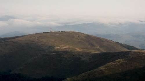
The highest summit and No.5 in the so called Crown of the Beskids. Its steep NE face was chiseled by a Pleistocene glacier. On its summit used to be a radar station monitoring a vast area to the west during WWII. In 1995 it was demolished. Nowadays the ruins of its reinforced concrete base can be seen. The peak stands on the lateral ridge heading SW, about 4 km off the main ridge. Blue stripes from Vovchyi or green stripes from Bereznyky.
Velykyi Verkh
1598
The highest summit on the main ridge. It is a junction of the lateral ridges trending SW (Stiy) and NE (Riapetska). In the center of Polonyna Borzhava proper. Red/blue stripes.
Magura-Zhyde
1516
Rounded summit covered by blueberries. In the eastern part of the main ridge of Polonyna Borzhava. The red stripe main ridge trail or green stripes from Izky.
Hymba
1491
Dome shaped massif with a large, avalanche prone nival niche on its northern side. It stands in the central part of the main ridge, between Velykyi Verkh and Magura Zhyde summits. The red stripe main ridge trail or blue stripes from Pylypets resort.
Hrab
1378
Springs on its north and south sides (traverse). The slopes of the mountain are covered by pristine beech woodland with admixture of fir and spruce trees. In the eastern part of the main ridge of Polonyna Borzhava. The red stripe main ridge trail or yellow stripes from the valley of the Borzhava river.
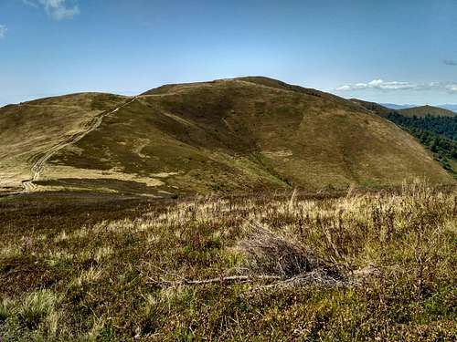
Kuk
1361
Distinctive grassy peak with a steep, hardly accessible SE slope. The highpoint of a namesake polonyna in the central stretch of its main ridge. Accessible via an unmarked path.
Temnatyk
1343
First conspicuous summit in the westernmost tip of Borzhava. The W and E sides are covered by pristine beech woodland (a namesake preserve) while S slopes are part of Potik Osa reserve. It is reached by the red stripe main ridge trail.
Plai
1323
Easily distinguishable summit thanks to a weather station on its top. In the western part of the main ridge. The red stripe main ridge trail, yellow stripes from Volovets.
Getting There
Signpost
In contrast to the other polonynas in Transcarpathia, it is possible to take a day round-trip thanks to the proximity of mountain resorts. Trailheads for particular hiking destinations are tabulated below.
Access route
Trailhead at
Times of walk up (hr:min)
Distance (km)
Elevation gain (m)
Marks
Destinations
Mukachevo-Volovets
Volovets railroad station
3:00/3:30
6/8
850/800
red stripe/yellow stripe
Temnatyk/Plai
Volovets-Pylypets
Pylypets
3/2:30
7/5
1000/900
green stripe/blue stripe
Velykyi Verkh/Hymba
Khust - Mizhgiria
Mizhgiria
4
9
650
red stripe
Kuk
Khust - Nizhnyi Bystryi
Shyroke
2:30
6
600
yellow stripe
Palenyi Hrun
Camping & Red Tape
It is possible to pitch a tent anywhere on the main ridge of the Borzhava. There are some preferred campsites with good sources of water, e.g. the saddle between Kychera and Kruhla summits, glade below Pryslip peak, tiny tarn near Kamianka massif or Polonyna Kuk.
Campsite in the saddle between Kychera and Kruhla summits
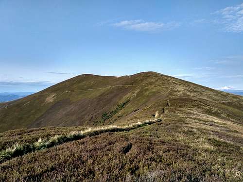
View from Stoj 1681 m
The table below lists protected areas.
Name
Photo
Established (year)
Area (ha)
Elevation (m)
Location
Characteristics
Temnatyk
2009
1215
400-1200
E and W hillsides of namesake massif+SE slope of Boziovo summit
pristine beech woodland
Potik Osa
1998
500
350/1100
S faces of Plai and Temnatyk summits+W side of Velykyi Verkh massif
Duty officer of Ministry of Emergency - (+38 0321) 660 701, 660 114 or (+38 0442) 473 103 Emergency numbers of rescue services - 101 (only from UA operators)
Parents refers to a larger category under which an object falls. For example, theAconcagua mountain page has the 'Aconcagua Group' and the 'Seven Summits' asparents and is a parent itself to many routes, photos, and Trip Reports.

 Shypit falls
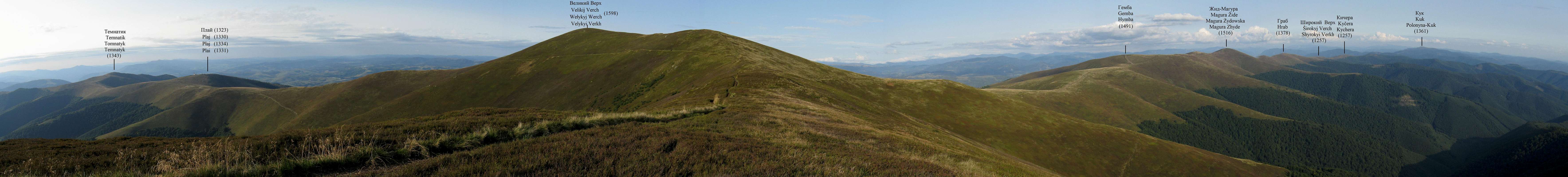
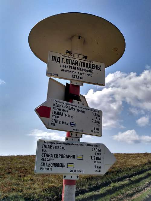 Signpost
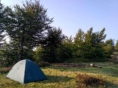

 Moravian guy with paper map of Borzhava
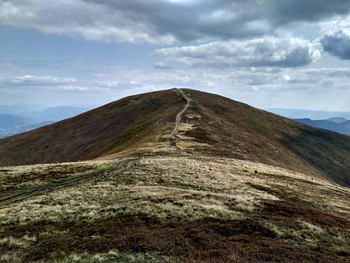
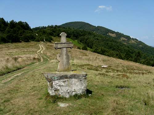 Pryslip pass
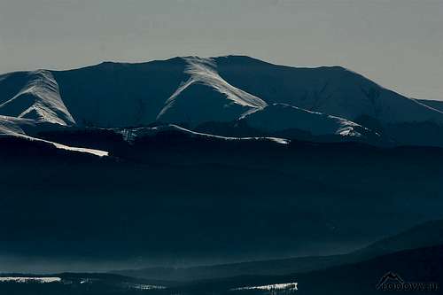
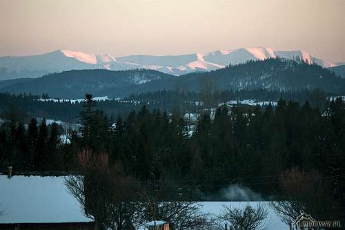 Borzhava seen from NW - photo by Tomek Lodowy