|
|
Mountain/Rock |
|---|---|
|
|
40.12330°N / 107.1689°W |
|
|
Rio Blanco |
|
|
Hiking, Mountaineering, Skiing |
|
|
Spring, Summer, Fall, Winter |
|
|
11532 ft / 3515 m |
|
|
Overview
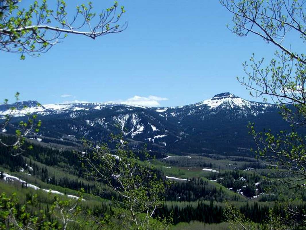
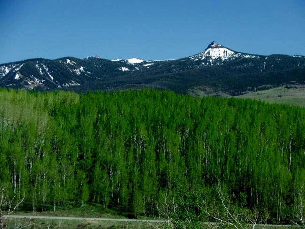
Pyramid Peak is located in the Flat Top Mountains in the Routt National Forest on the boundary of the Flat Tops Wilderness. Although not high in elevation, this peak stands out in the Flat Tops due to its sharp summit features. Viewed from the northwest at the Dunckley Pass area, the peak resembles a pyramid, with the summit coming to a very sharp point. From Sheriff’s Reservoir, the peak appears as a jagged ridgetop guarded by cliffs.
The Flat Top Mountains are a large mountainous area in NW Colorado. They contain one of the largest wilderness areas, the Flat Tops Wilderness, in Colorado, measuring more than 235,000 acres. The Flat Tops were formed by volcanic processes creating a large plateau of volcanic rock. This plateau has been eroded and glaciated forming the topography seen today of great flat-topped mountains guarded by miles of cliffs hundreds of feet high. Pyramid Peak is one of the peaks in the Flat Tops that is not flat-topped (as is nearby Pagoda Peak) making Pyramid an exciting summit bid.
Getting There

There are several trailheads in the area to Pyramid. The trailhead at Sheriff’s Reservoir can be reached easily from the town of Oak Creek. From the town of Oak Creek head SW on County Road 25 (dirt) to the Flat Tops Scenic Byway. Make a left at the first “T” and a right at the second “T”. There are signs. This should put you on County Road 8 heading towards Dunckley Pass. Take a left at the sign for Sheriff’s Reservoir. Travel time from Oak Creek is about 30 minutes. The road to the reservoir from Oak Creek should open sometime in June each year. There are other ways to get there and most detailed maps should be sufficient.
Click here for a map of Oak Creek, CO.
Red Tape
There is no red tape other than standard wilderness area rules and regulations.When To Climb
Summer is the best time to attempt the peak as roads should be open and the weather will be the best. Summer has its typical hazards in Colorado, including lightning or snow at any time. The peak can be done in the winter, but the approach will be long given that most roads in the area will be closed.Camping
There is a national forest campground at Sheriff’s Reservoir as well as many campsites along the road to the Reservoir. Backcountry camping is also available in the National Forest and Wilderness Area.Click here for information on Routt National Forest Campgrounds.
Mountain Conditions
Current forecast can be found here.Current conditions from a nearby weather station on Ripple Creek Pass can be found here.


