
|
|
Mountain/Rock |
|---|---|
|
|
39.30640°N / 106.1836°W |
|
|
13701 ft / 4176 m |
|
|
Overview
Treasurevault from near Cooney Lake
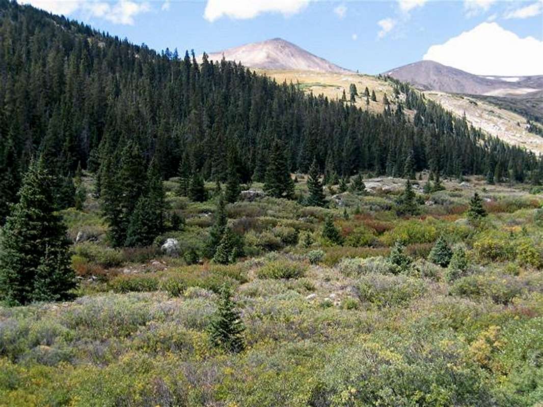
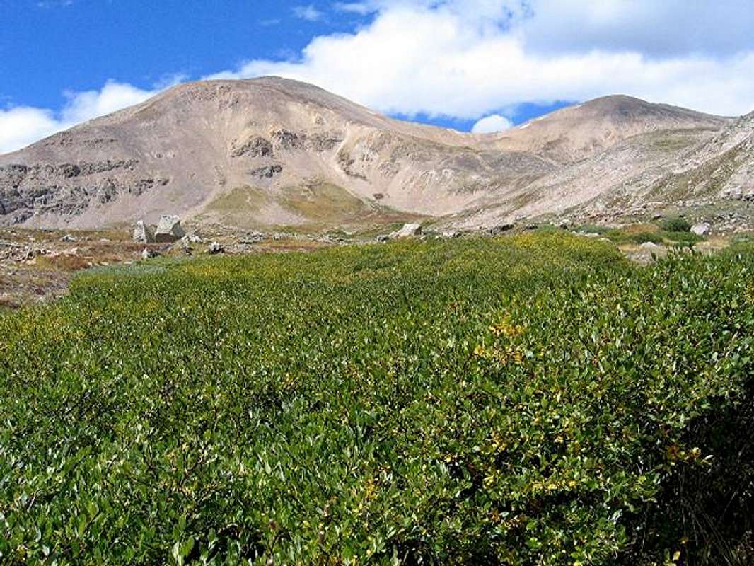
Treasurevault and its “twin summit” to the south: the 13781 ft Mosquito Peak are two high 13ers that rise to the north of the Mosquito Pass in the Mosquito Mountains of Central Colorado. To the north, Treasurevault is connected to Mt. Tweto (13672 ft). Beyond Tweto, you will find the 13865 ft Mt. Buckskin and the 13795 ft Mt. Arkansas. To the south, a 13400 ft saddle separates Treasurevault from Mosquito Peak.
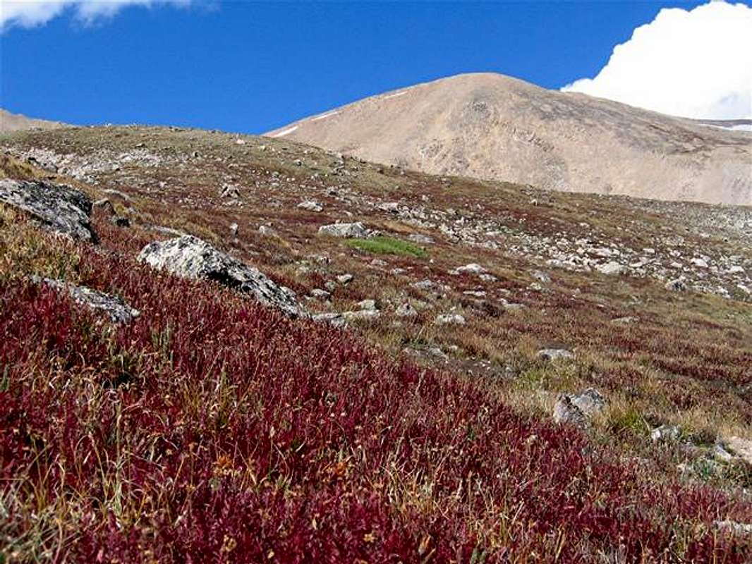
The western slopes of Treasurevault and Mosquito Peaks drop to the bottom of the Arkansas River Valley where Route 91 runs. To the east, the slopes of Treasurevault and Mosquito go down to form a gently sloped “plateau” that is 12000 to 12800 ft high. This beautiful plateau is dotted by many alpine lakes. Abandoned 19th century mines litter the plateau and the surrounding slopes.
A 17 mile long dirt road known as Mosquito Pass Road starts on Route 9 south of the town of Alma and heads west up to the 13186 ft Mosquito Pass before dropping down to the town of Leadville. In the late 19th century, this treacherous road that could be snow bound at the pass all but one month of the year, used to serve as the quickest way to reach the mines near Leadville. Today, Mosquito Pass Road is rated as a moderately difficult Four Wheel Drive Road with narrow rocky sections near the pass and sees a fair amount of traffic. From the pass, a short spur road heads north, bypassing Mosquito Peak and ending near the saddle between Treasurevault and Mosquito Peaks. I have not been to this spot but climbing Treasurevault via this route will obviously involve much four wheel driving and little hiking. A much more pleasant option is to park at the end of the two wheel drive at around 11500 ft and hike up the slopes to reach another spur road that is hardly ever used and goes to the 12600 ft Cooney Lake at the base of the summit of Treasurevault. In places, this road can be quite boggy even in late summer. Hikers, however, should have no problem bypassing the muddy areas. From the lake, you can find your own way to the top of Treasurevault. Like many of the nearby peaks, Treasurevault is a walk-up from any direction. Many other approaches will also be possible.
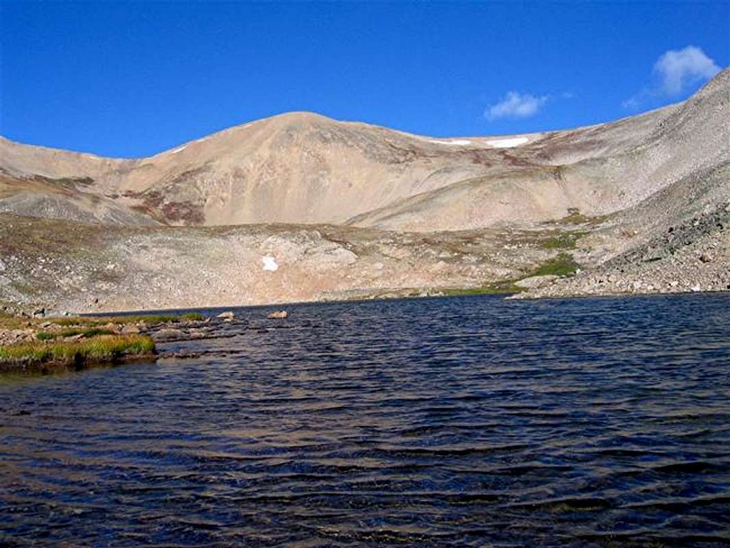
Treasurevault from Cooney Lake
 |  |  |  |  |
Getting There
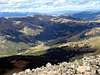
(L) Mosquito Peak & (R) Treasurevault Mountain
No Four Wheel Drive is needed for the directions below. The town of Alma can be reached by taking Exit 201 on I-70 in Central Colorado to Route 9 and driving 26 miles south (past Breckenridge and the 11541 ft Hoosier Pass).
From Alma, drive one mile south and turn right on County Road 12 a.k.a. Mosquito Pass Road. Drive the well-graded dirt road 4.6 miles (past a small residential area) to the junction of London Mine Road. A sign here will say “only 4WD past this point” but don’t worry. Although the road gets rougher, it will still be passable by most/any vehicles with a reasonably high clearance. Bear right and drive the road another 2.5 miles until another junction where you will have to turn left and cross the stream. You will find a sign about the history of Mosquito Pass Road and a parking area. This is your trailhead (11520 ft). Beyond this, the road will definitely require Four Wheel Drive.
 |  |  |
Red Tape
(L) Mosquito & (R) Treasurevault
No fees/permits needed for day hikes.
 |  |  |  |