
|
|
Mountain/Rock |
|---|---|
|
|
46.04581°N / 7.89576°E |
|
|
Mountaineering |
|
|
13211 ft / 4027 m |
|
|
Overview
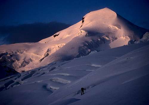
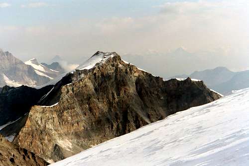
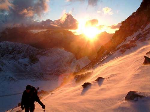
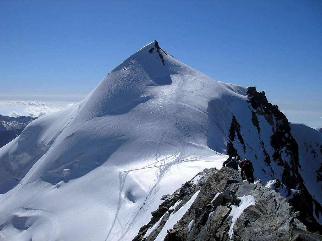 Allalinhorn West Face by Cyrill
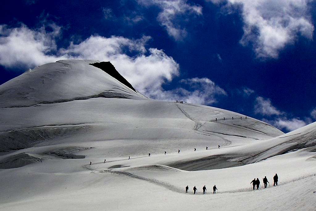
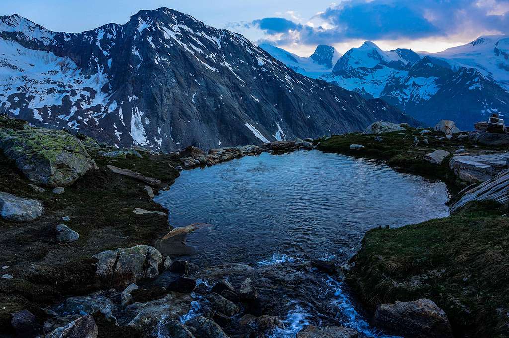
Allalinhorn is a famous mountain in the Swiss Alps. There are two main reasons for this fame, the first one being the altitude of 4027 meters, making it one of the 82 mountains above 4000 meters (UIAA-list) in the Alps and therefore a (very) popular objective for climbers. The second reason is the ease of the ascent. Allalinhorn is considered (together with Breithorn) the easiest 4000 meter peak in the Alps. The vicinity of the Mittelallalin top station, which drops climbers off at an altitude of almost 3500 meters, adds to Allalinhorn’s label of an easy mountain. Still, even if considered easy, Allalinhorn is a real alpine climb and should not te be taken lightly. Weather can change rapidly at these high altitudes and the whole climb along the normal route leads through glaciated terrain with large crevasses present throughout the route. It is advised to take a guide if you do not have the proper experience to climb an alpine peak like Allalinhorn.
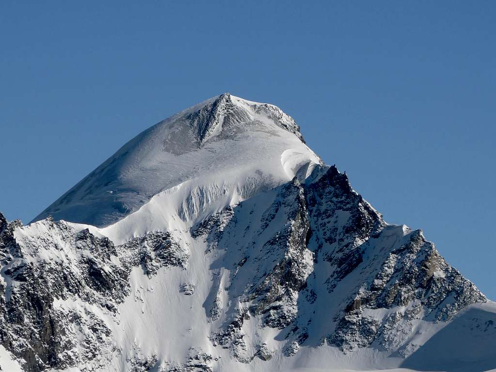
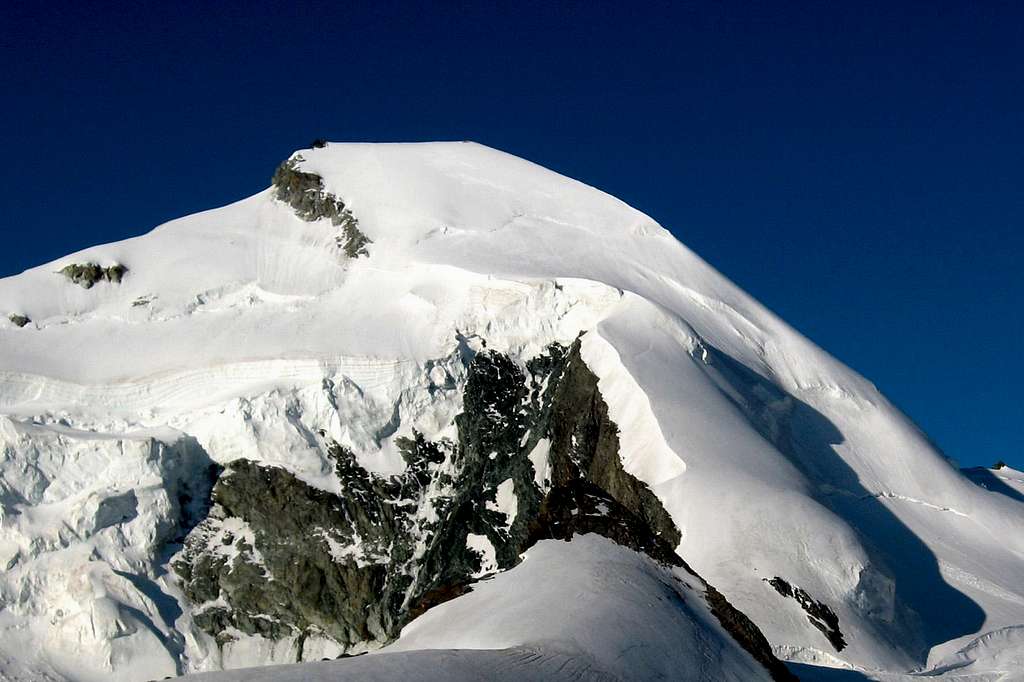
Allalinhorn is considered as one of the home mountains of the famous ski resort Saas Fee. Its heavily glaciated North face is looming above the village, attracting many hikers and climbers looking for climbing this peak. Many climbers and gatherers of 4000 meter peaks will give you the exact same answer when asked: What was your first 4000 meter peak? The answer will probably be either Breithorn or Allalinhorn. As a result, especially in the summer period with good weather, the mountain can get crowded. Mountain guides from the Saas valley and beyond organize guided tours up the mountain on a daily routine. The mountain guide Camillo Supersaxo from Saas Fee has climbed Allalinhorn more than a 1000 times. To celebrate the anniversary, Bishop Eldingen said mass on the summit. Although crowded, Allalinhorn is a beautiful mountain and offers fantastic views. It is located in the heart of the ‘Walliser 4000ers’ and many of them can be seen from the summit: Weissmies, Monte Rosa, Matterhorn, Breithorn & Dom to name a few. Allalinhorn has several faces, the North face is heavily glaciated; the south face however, is a near vertical wall with poor rock quality and from the east Allalinhorn does justice to its own name: It looks like a horn (a spire).
 North Face North Face |
 SE-Face SE-Face |
 SW-Face SW-Face |
Allalinhorn was first climbed on August 28, 1856. Priest Johann Josef Imseng from Saas-Grund and his servant Franz Josef Andenmatten led the Englishman Edward Levi Ames to the summit. Today’s normal route, the northwest flank, was first climbed on 1. August 1860 by Franz-Josef Andenmatten, together with Sir LeslieStephen, F. W. Short, Frederick William Jacomb, C. Fisher, Moritz Anthamatten, Peter Taugwalder and Johann Kronig. See the History section below for more information.
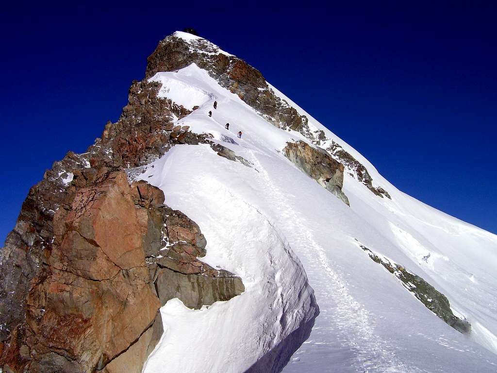
Besides the heavily ascended Normal route, which is graded F+ (Facile) and has no real difficulties, there are other, more interesting routes. A good example is the Hohlaubgrat, graded AD, along the East ridge of Allalinhorn. This route involves some mixed climbing and is a good, more challenging alternative to the normal route. Other, less climbed, and more difficult routes are the North-East ridge (AD+), the North-East Face (TD) and the South Wall (AD+, IV). See the ‘’Routes’’ section for more detailed information about the routes on Allalinhorn.
 N-NW Face N-NW Face |
 NE-Face NE-Face |
 South Face South Face |
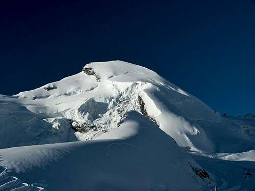
Allalinhorn is part of the Mischabel ridge between the Saas Valley in the east and the Mattertal to the west and is part of the Allalin Group together with 3 other, higher peaks: Alphubel , Strahlhorn and Rimpfischhorn. Allalinhorn is located 7 kilometers southwest of Saas-Fee and is surrounded by four large glaciers : the Fee-glacier to the North , the Hohlaubgletscher to the east, the Allalingletscher to the southeast and the Mellichgletscher to the southwest. There are four ridges that lead to the summit of Allalinhorn, three of them are covered under a thick ice cap with the exception of the East Ridge – mostly referred to as the Hohlaubgrat. Directly west of Allalinhorn are Feekopf (3888m ) and Alphubel (4206 m) separated by the Feejoch (3826m) and Alphubeljoch (3772m). To the south the Allalinpass (3564 m) separates Allalinhorn from Rimpfischhorn (4199m).
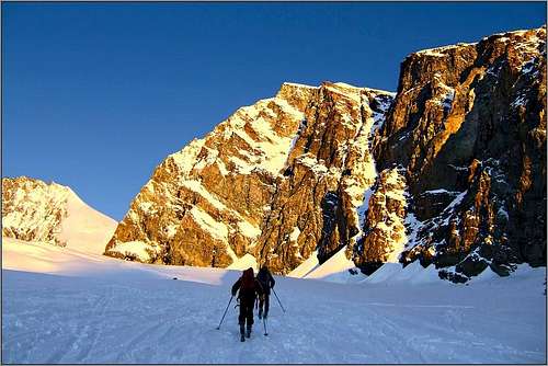
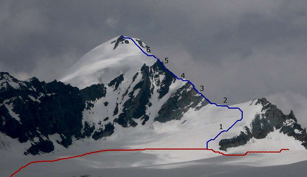
Routes
Allalihorn from Alphubel
I Normal Route
Normal Route: follow the crowds
For more information about this route see the SP Page by member Lodewijk.
II Hohlaubgrat
Hohlaubgrat
III SW-ridge
SW Ridge Overview
For more information about this route see the SP Page by member marc123.
IV NE-ridge
North ridge (directly to the right of the rocks)
The NE-ridge route on Allalinhorn is one of the harder routes to the summit and is graded AD+. The Allalinhorn NE Ridge is most frequently climbed starting from Mittelallin (3450m), but alternatively the Allalinhorn NE Ridge can be approached from Längfluh or the Britanniahütte. The ridge is mostly 40° steep with some steeper parts of 50°.
V Other Routes
South Face
TD (60° to 90°) This face can be climbed directly but is very difficult and is very rarely climbed. A climb in 1971 involved 4h of effort overcoming the serac barrier by aid climbing on ice screws.
S-face
AD (IV), steep ice and bad rock quality, rarely climbed.
AD (IV), steep ice and bad rock quality, rarely climbed.
Getting There
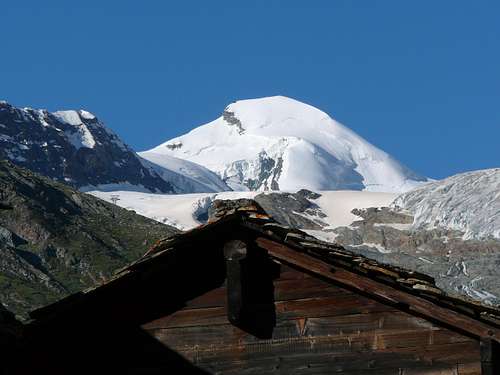
Allalinhorn from Saas Fee
How to get to Saas Fee: Click Here
Car parking Saas Fee: Click Here
Timetable Cableways: Click Here
Lift Prices: Click Here
Pearls are much sought-after. And the Saas Valley is such a pearl. The Valais village of Saas-Fee, situated at 1800 metres above sealevel, is called the “Pearl of the Alps”. 13 four-thousand-metre peaks protect it like a shell. The snow-covered peaks with the Dom (4545 m) and many others, form a unique backdrop. Or as the famous writer Carl Zuckmayer described it: “You stand at the end of the world and at the same time at its beginning.”
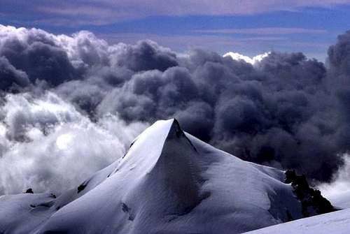
The summit
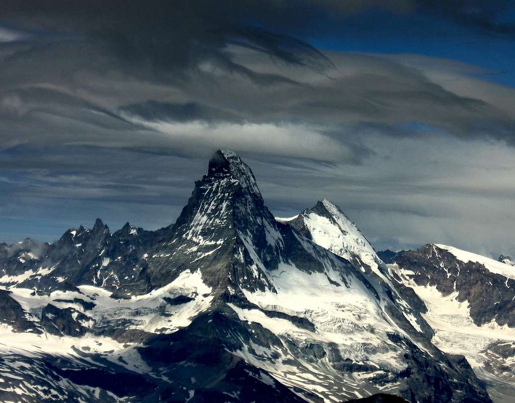
Matterhorn from the Summit of Allalinhorn
From the summit of Allalinhorn you have fantastic views . In the west the near Rimpfischhorn and Strahlhorn can be seen up close; Also the Monte Rosa, Matterhorn, Weisshorn and Mont Blanc Massif are visible. In the north you can see Alphubel and the rest of the Mischabel group with Täschhorn and Dom. In the east you can see Mittelallalin, Saas Fee, Fletschhorn, Lagginhorn and Weissmies. Allalinhorn is really surrounded by many of the major peaks in the Alps and therefore offers one of the best views around.
Climbing History
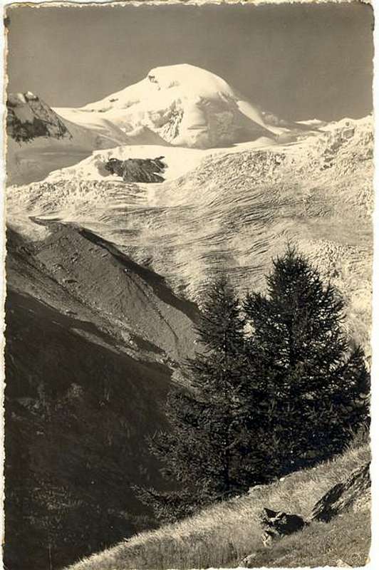
Old photo of Allalinhorn
In 1828, Heinrich Michaelis and a guide crossed the Allalin Pass and thereby opened up the route to the south-west ridge. The first ascent of the Allalinhorn via the same ridge only took place 28 years later. On 28 August 1856, the parish priest Johann Josef Imseng from Saas-Grund and his servant Franz Josef Andenmatten led the Englishman Edward Levi Ames to the summit. Today’s normal route, the north-west flank, was first climbed on 1. August 1860 by Franz-Josef Andenmatten, together with Sir Leslie Stephen, F. W. Short, Frederick William Jacomb, C.Fisher, Moritz Anthamatten, Peter Taugwalder and Johann Kronig. The Bernese high school teacher and historian Heinrich Dübi ascended the summit via the difficult north-east ridge on 27 July 1882 with the guides Alphons and Peter Supersaxo, and then descended via the Hohlaubgrat ridge. This represented the first crossing of both ridges. The Hohlaub ridge was conquered as an ascent for the first time five years later, on 12 July 1887, by the Englishmen Harold Ward Topham, C. H. Redall and the guide Aloys Supersaxo. A year earlier, Aloy Supersaxo and the Briton C. A. C. Bowlker were the first to climb the south face, a grade IV climb. The first winter ascent of the Allalin was by the Swiss mountaineer R. Bracken, climbing solo, in 1907. The first ascent on skis was on 17 April of the same year by A. Hurter und Max Stahel, both from Zürich, together with the local mountaineers Othmar and Oskar Supersaxo.
The disclosure of Allalinhorn started as early as 1912, when the construction of the Britannia Hut was completed. In 1938, Berghaus Längfluh opened making it the second mountain hut in the vicinity of the mountain .In 1954 a cable car was built to Spielboden, which was extended to Längfluh (2869m) in 1959. Längfluh is the area between the two tongues of the Fee glacier. In 1969 it was possible to get even closer to the mountain with the construction of the cable car to the Felskinn (2989m). In the 1970s, it was planned to extend the system further to Feekopf (3888m). This project has been denied a license by the Swiss Federal Council. As an alternative, the Metro Alpin to Mittelallalin (3456m) was built on what is now a summer ski area. In January 2011, the operating company of the mountain railways announced an expansion to the Feejoch (3826m) , from where the summit could be reached in just 45 minutes. This expansion, fortunately, hasn’t been built to this date.
Origin of the Name
Almagellerhorn and Allalinhorn
The name Allalin refers to the area to the east of the summit as well as the mountain itself. There is large dispute about the origin of the name though. The emphasis at the end of the word suggests a pre-German origin. On the other hand, the name Allalin led the archaeologist and writer Christian Moritz Engelhardt to his “Saracen hypothesis” in 1840, according to which Saracens in the 10th century left behind a series of names in the Saas valley and as far as the Simplon area. Engelhardt specifies the name as Alalain and traces this back to the Arabic “ala ain” (at the spring). Another explanation comes from the year 1976. The writer Jules Guex cited a letter from Johann Ulrich Hubschmied, which derived the name Allalin from the Celtic “akarnos” (“maple”). A diminutive, “agarinus”, gradually evolved into “agalin”, which means “small maple” in the Valle Verzasca. This became “ayalin” in the Saas valley, which was not yet Germanised, from which Hubschmied constructed the hybrid form “all’ayalin”, later made into Allalin by the Alemannic settlers. This theory, too, is not widely accepted. Without any historical proof, no definitive explanation exists.
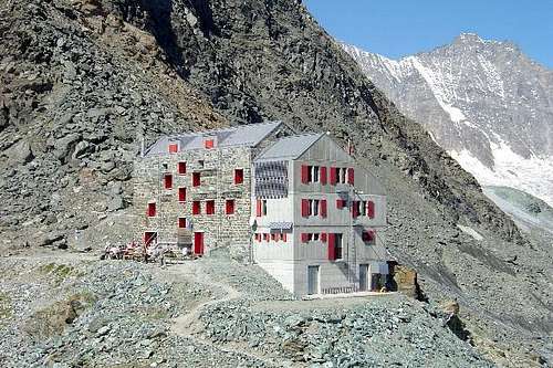
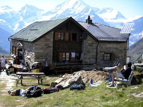
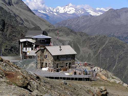
Mountain Huts
There are several Mountain huts surrounding Allalinhorn. The Britannia Hut is located east of Allalinhorn and is mostly used as a starting point for the Hohlaubgrat on Allalinhorn. The Tasch Hut is loacted on the Zermatt side of Allalinhorn and used as base for climbing Alphubel, Rimpfischhorn, Taschhorn and Allalinhorn. One has to climb via the Feechopf to reach the upper part of the normal route to Allalinhorn's summit. The Tasch Hut can be reached from the Matter valley. Berghaus Längfluh used to be the base for climbing Allalinhorn via the normal route ''in the old days''. Since the construction of the ski facilities, including the summit station at Mittelallalin at 3450 meters, Berghaus Langflue is not often used anymore for climbing Allalinhorn. Still, for those who want to climb Allalinhorn from Saas, without using the ski facilities, Berghaus Langfluh is a good option for climbing Allalinhorn along the normal route. Clicking on the name of the Hut in the table below directs you to the official internet page. Also the SP-link is given when available.
| Hut | Elevation | Telephone | SP-Link | Photo |
| Brittannia Hut | 3030m | +41 27 957 22 88 | Here |
 |
| Täsch Hut | 2701m | +41 27 967 39 13 |
 |
|
| Berghaus Längfluh | 2870m | +41 27 958 77 00 | / |
 |
Books
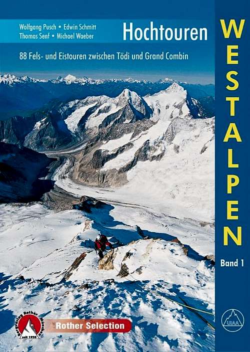
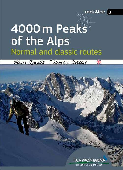
There are several books describing one or more climbing routes on Allalinhorn. The ''Hochtouren Westalpen'' by Rother Verlag is a very popular choice. This guidebook includes photos, route descriptions and detailed route maps for many climbs in the Western Alps, including the Hohlaubgrat on Allalinhorn. For me this is the best guide book at this moment. The ''Viertausender der Alpen'' by Dumler is a true classic. It is a 2014 reprint of one of the classic mountain books. The English version is still accessible as ''The high mountains of the Alps''. If you are looking for a smaller format the 4000er tourenfuhrer by Goedeke is a good choice as well. This guidebook has a description on every normal route on a 4000 meter peak in the Alps. If you are planning a ski-touring ascent of Allalinhorn the guidebook ''Walliser Alpen'' by Rother Verlag is the guide to go with. Other recent publications like ''the 4000m peaks of the Alps'' and ''Topo Verlag Walliser Alpen'' are shown below.
 |
 |
 |
 |
 |
 |
| Publisher | Name | Author | Year (last Print) | ISBN / EAN |
| Rother Verlag | Hochtouren Westalpen Band I | Wolfgang Pusch | 2015 | 9783763330287 |
| Rother Verlag | Viertausender der Alpen | Helmut Dumler | 2014 | 9783763374311 |
| Rother Verlag | The High mountains of the Alps | Helmut Dumler | 1994 | 9780898863789 |
| Idea Montagna | 4000m peaks of the Alps | Marco Romelli | 2015 | 9788897299585 |
| Rother Verlag | Walliser Alpen Skitourenfuhrer | Daniel Haussinger | 2012 | 9783763359301 |
| Topo Verlag | Walliser Alpen | Daniel Silbernagel | 2016 | 9783033024311 |
| Bruckmann Verlag | 4000er Tourenfuhrer | Richard Goedeke | 2015 | 9783765457616 |
Maps
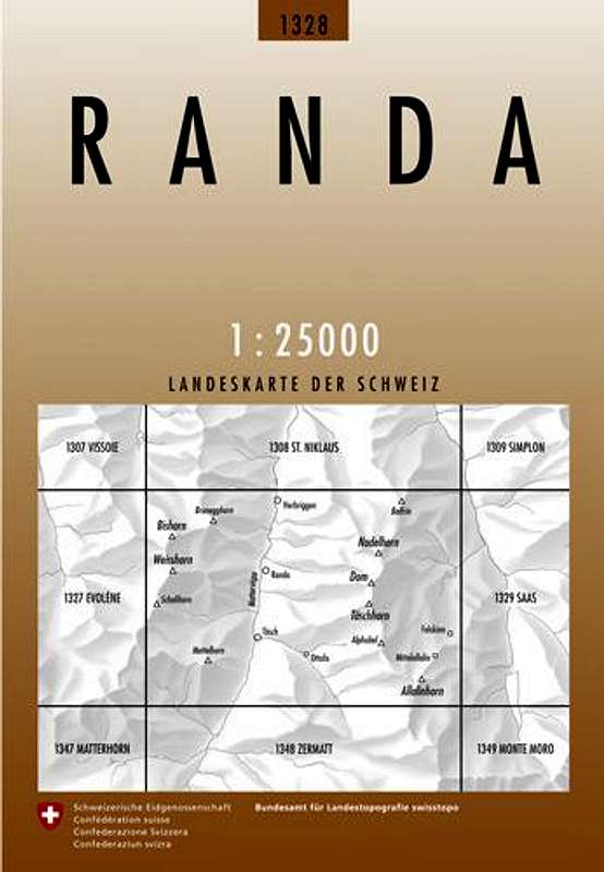
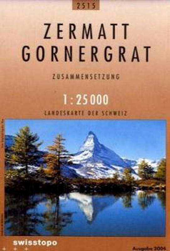
There are several good maps for climbing Allalinhorn. However, the only map on a 1:25.000 scale that covers all routes on Allalinhorn is the Swisstopo map ''1328 Randa''. For Climbing Allalinhorn I would recommend this map. The other 1:25.000 map ''Zermatt - Gornergrat is fine as well, but does not cover the eastern parts of Allalinhorn. The Hohlaubgrat route is only partially on this map. From the 1:50.000 scale maps both the Kompass map and the ''Matterhorn Mischabel'' map cover the entire area surrounding Allalinhorn.
 |
 |
 |
 |
| Type | Name | Scale | ISBN / EAN | Additional Info. |
| Schweizer Landeskarte | 5006 Matterhorn Michabel | 1:50.000 | 9783302050065 |
Covers_the entire_area
|
| Schweizer Landeskarte | 1328 Randa | 1:25.000 | 9783302013282 | Covers the entire area |
| Schweizer Landeskarte | 2515 Zermatt Gornergrat | 1:25.000 | 9783302025155 | Covers all routes except from the East |
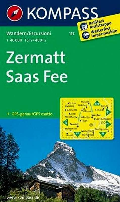
| Kompass Map | 117 Zermatt Saas Fee | 1:50.000 | 9783850269261 | Covers the entire area |
Red Tape
There are parking fees in Saas Fee (see How to get there section).
Technical equipment: rope, harness, ice axe, crampons
When To Climb
Classic Swiss view from Kreuzboden
Allalinhorn is climbed mostly during the summer months: July, August, September. Especially on the normal route, crowds are no exception. The normal route is often climbed with skis during the winter season.
Camping & Hotels
Saas Fee
In the Saas valley there are 3 good options for camping. Camping Mischabel, Camping am Kapellenweg and camping Schonblick. All three are located in the vicinity of Saas Grund in the Saas valley.
Hotels
External Links
Hohlaubgrat, Allalinhorn
Allalinhorn at Camptocamp Description of all major routes on Allalinhorn; Partly in English, mostly French
Allalinhorn at TripAdvisor There even is a Tripadvisor page of Allalinhorn which includes reviews, photos etc.
Mountain Guides for Climbing Allalinhorn: Saas Fee Guides in Saas Fee, Active Dreams Weissmies in Saas Grund.
Webcam Allalinhorn by Bergfex
Webcam Mittelallalin by Bergfex (360 degrees with Allalinhorn)
Weather Forecast by mountain-forecast.com
Weather
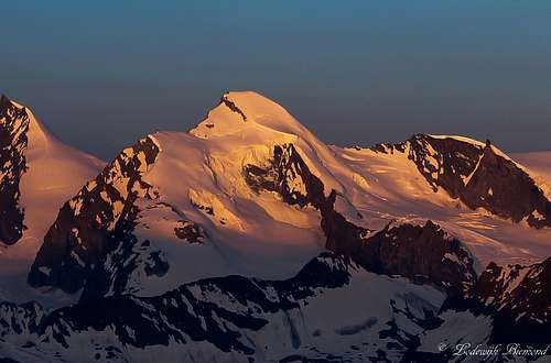
Allalinhorn Panorama
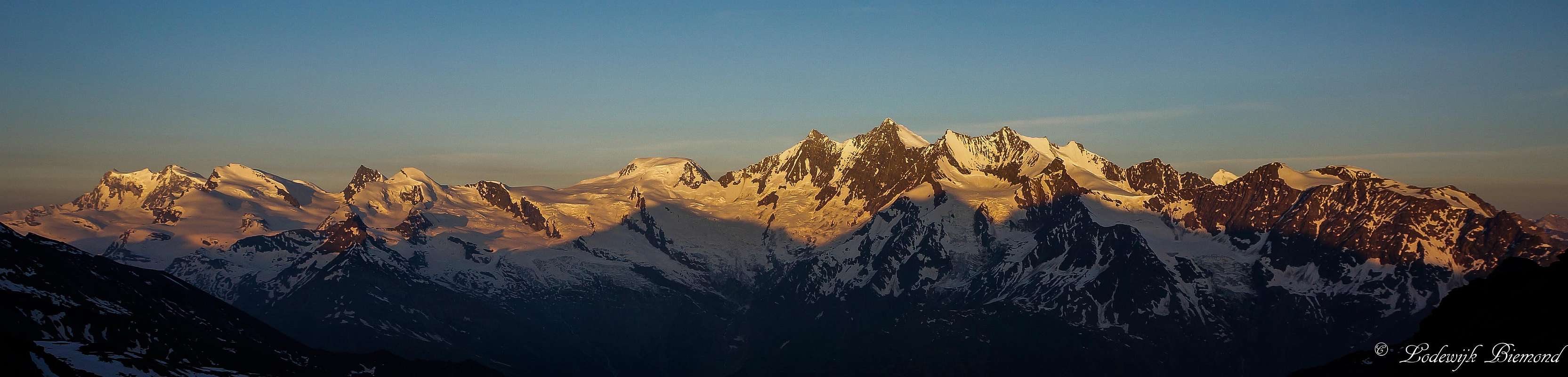  Monte Rosa & Mischabel Panorama with Allalinhorn at Sunrise
|