


-
 2409 Hits
-
 79.04% Score
-
 10 Votes
|
|
Area/Range |
|---|---|
|
|
45.62520°N / 7.02970°E |
|
|
Hiking |
|
|
Summer, Fall |
|
|
9567 ft / 2916 m |
|
|
Note
La montagna chiama i suoi figli, ed essi rispondono fedelmente al suo appello… Osvaldo Cardellina, Diario alpinistico, 1964-65 Page texts: @ OsvaldoCardellina "Osva", passed away on May 2, 2022. Page owners: Christian Cardellina e Osvaldo Cardellina. Any updates from September 12, 2022: Antonio Giani, page administrator, friend and climbing companion. Testi della pagina: @ OsvaldoCardellina "Osva", scomparso il 2 maggio 2022. Proprietari pagina: Christian Cardellina e Osvaldo Cardellina. Eventuali aggiornamenti dal 12 settembre 2022: Antonio Giani, amministratore della pagina, amico e compagno di salite. |
Almost Overview Blue
In memento of Emilio Bertona aka emilius (+ September 20th, 2010) and Marco Cossard (+ January 16th, 2013).

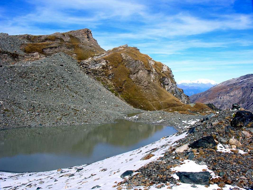
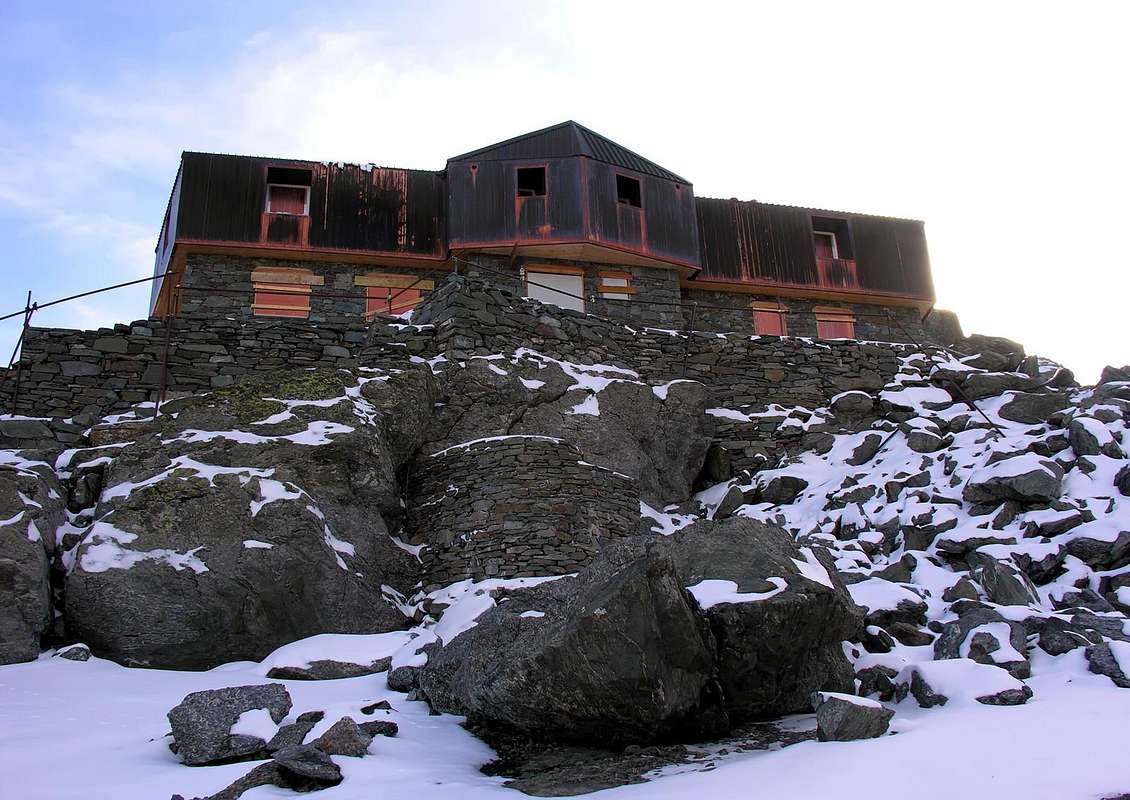
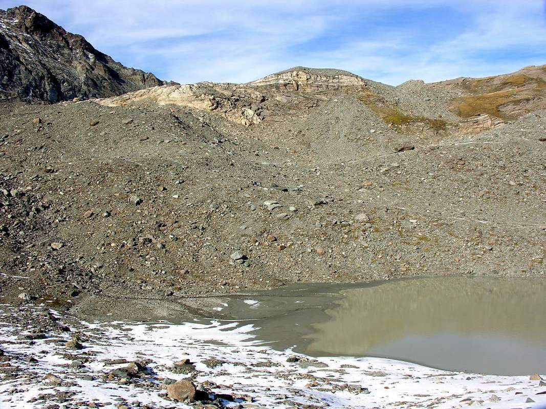
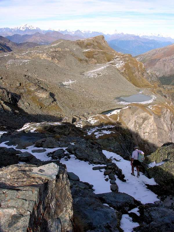
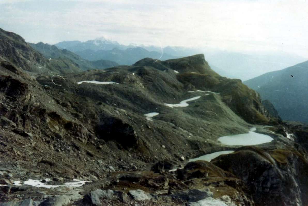
The long ridge coming down from West Testa (Head) of Rutor to the Refuge of Angeli (ex Refuge Scavarda went up in flames) divides this last vallon from that of the Morion Lakes and the subsequent of the Orfeuille at the foot of Glacier Château Blanc, and this, sloping down to the North, reaches the Vallon of Fond-Planaval, where the glaciers disappear altogether. A wild coastal and abandoned closes the circle of the valley with small rocky-wooded vallons that reach Monte Colombo, above the Central Valley. This is the Valgrisa, that opens and shrinks with a width ranging from 3 km and it reaches 10 Km in its maximum expansion. A pair of small lakes (Lakes of the Morion; 2.804m), located at the base of the Glacier du Rutor, from which they origiated, characterize this small suspended valley that, with a North-northeast / South-southwest direction, extends from the Village of Planaval (1.557m) up to that of Bonne (1.788/1.810m). In fact, the valley begins at Alpe Miollet (1.895m), at the southern foot of the small Becca of Céré (2.434m), where it doubles in the Torrent de Miollet in the direction of the Glacier de Morion more to the West and in the Torrent Dard in the sector lower or Eastern. The latter, doubling immediately on the left (West) the Becca dell'Aouille (2.605m), reaches more than directly that easily through the path n° 18 the plateau where the two Morion Lakes (2.803m) are located leaving just above the third (2.883m). This is certainly a less common and wilder hike, which also allows you to see the exit out of the various a group of roped climbers from the beautiful and step Via "Ferrata Béthaz/Bovard" starting from Valgrisenche Chief-Town.
 |
 |
 |
 |
 |
La lunga Cresta Est che scende dalla Testa del Rutor verso il Rifugio degli Angeli (ex Rifugio Scavarda andato in fiamme) divide questo ultimo vallone da quello dei Laghi del Morion e dal seguente dell'Orfeuille, ai piedi del Ghiacciaio del Château Blanc; questo, digradando a Settentrione, raggiunge il Vallone del Fond-Planaval, dove i ghiacci scompaiono del tutto. Una costiera selvaggia ed abbandonata chiude il circolo della valle con piccoli valloni boschivo-rocciosi che raggiungono il Monte Colombo sopra la Valle Centrale. Questa é la Valgrisa, che si apre e restringe con un'ampiezza che va da 3 Km e ne raggiunge 10 nel punto della sua massima espansione. Una coppia di laghetti (Laghi del Morion; 2.804 m), collocati alla base del Glacier du Rutor, dal quale sono stati originati, caratterizzano questa piccola valle sospesa che, con direzione Nord-nordest/Sud-sudovest si allunga dal Villaggio di Planaval (1.557 m) fino al di sopra di quello di Bonne (1.788/1.810 m). In realtà il vallone inizia presso l'Alpe Miollet (1.895 m), ai piedi meridionali della piccola Becca di Céré (2.434 m), dove si sdoppia nel Torrent de Miollet in direzione del Glacier de Morion più ad Occidente e nel Torrent Dard nel settore più in basso od orientale. Questo ultimo, doppiando sulla sinistra (Ovest) la Becca dell'Aouille (2.605 m), raggiunge più direttamente che agevolmente tramite il sentiero n° 18 il pianoro dove sono situati i due Laghi Morion (2.803 m) lasciando appena più in alto il terzo (2.883 m). Questa risulta, sicuramente, un'escursione meno consueta e più selvaggia, che permette di vedere anche l'uscita delle varie cordate dalla bella e ripida "Via Ferrata Béthaz/Bovard" partendo dal sottostante Capoluogo di Valgrisenche.
 |
 |
 |
 |
 |
Getting There towards Valgrisenche
BY CAR:
- From Torino, Milano, etc: Motorway A5. Exit in Aosta Ovest. Drive to the near Aymavilles. Follow in the direction of Valle di Cogne.
- From Switzerland: through the Grand St. Bernard Tunnel or the homonym Pass). Drive to Aosta, then follow Courmayeur direction on SS.26. Just after Sarre, turn to the left, in the direction of Valle di Cogne.
- From France: through Mont Blanc Tunnel or Petit St. Bernard Pass). It isn't necessary to enter in Motorway A5, you can drive through SS.26 Aosta direction. Before arriving at the Village of Leverogne, follow the sign and turn right towards Grisenche Valley.
- Aeroporto "Corrado Gex" Saint Christophe (Aosta).
 |
 |
 |
 |
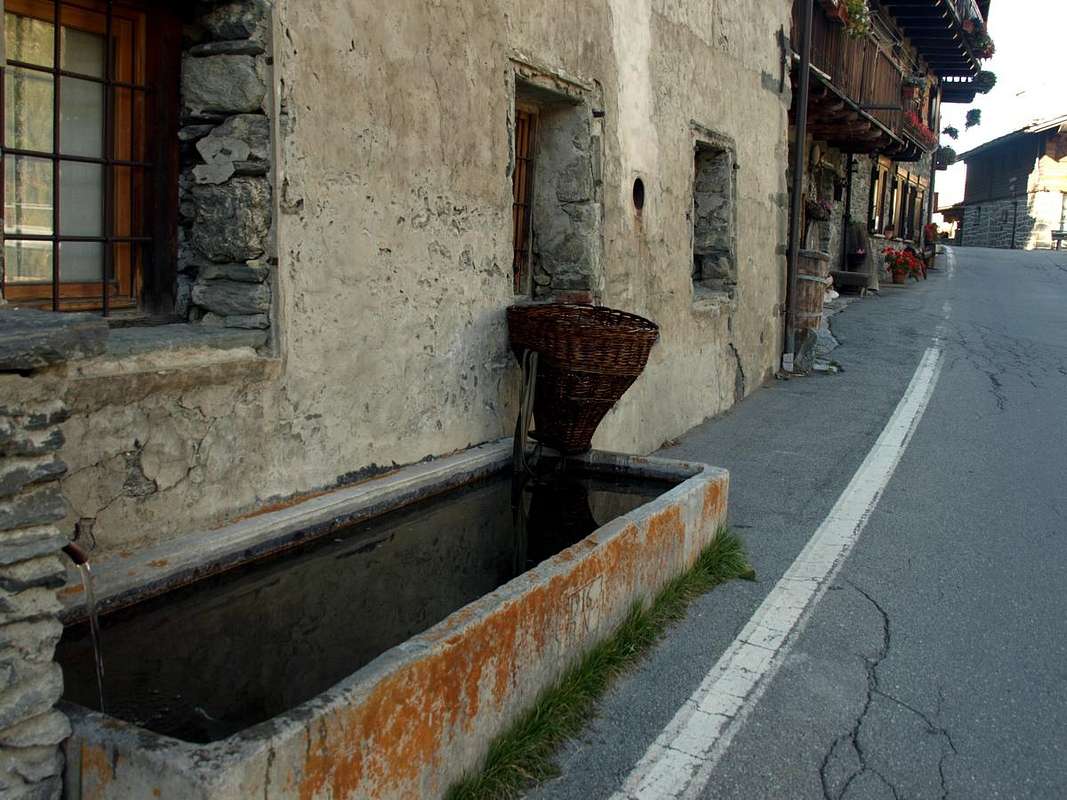
Whether arriving from West to East that (Aosta SS.26 to 15 km) to reach the Hamlet of Leverogne (740m) and with winding road to reach in succession Garin (796m), Ra(e)voire (950m; gym rock) Villages and, with beautiful views to the ruins of the grim Castle Montmajeur sited on hanging rocky promontory, to reach Villages of Chamençon (1.278m), which is left to the East, and Chamin (1.278m), the next Fraction of Planaval mouth of the vallon, is discarded right and continue to the South to the Villages of Revers (1.530m), Prariond (1.548m), Céré (1.605m) and La Bethaz (1.615m) to finally reach the Chief-lieu of Valgrisenche (1.661m) and the nearby Village of Mondanges (1.652m), just below the front of the Beauregard Dam.
 |
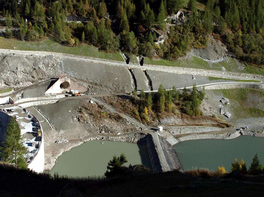 |
Sia arrivando da Ovest che da Est (Aosta SS.26 a 15 Km) raggiungere il Borgo di Leverogne (740 m) e con stretti tornanti raggiungere in successione Garin (796 m), Ra(e)voire (950 m; palestra di roccia) e, con bella vista sui resti dell'arcigno Castello di Montmajeur sospeso sul soprastante promontorio roccioso, raggiungere i Villaggi di Chamençon (1.278 m), che si lascia ad Est, e Chamin (1.278 m); la successiva Frazione di Planaval (1.557 m), all'imbocco dell'omonimo vallone, si scarta a destra continuando a Mezzogiorno verso i Villaggi di Revers (1.530 m), Prariond (1.548 m), Céré (1.605 m) e La Bethaz (1.655 m) pervenendo infine al Capoluogo di Valgrisenche (1.661 m) e la vicina Frazione di Mondanges (1.652 m), proprio sotto il fronte della Diga di Beauregard.
SUMMITS above the long Morion's Area
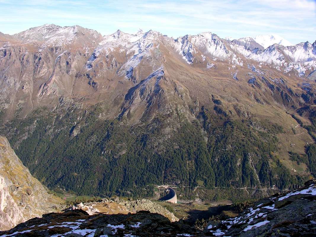
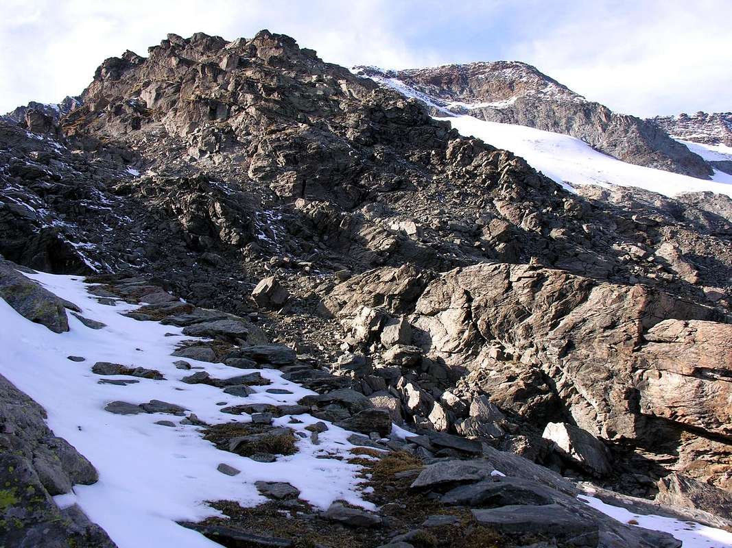
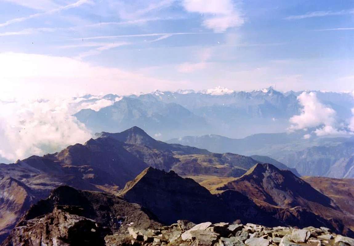
On watershed with La Thuile: to North-northeast - Becca du Lac (3.405m) - TESTA del RUTOR (3.486) - Château Blanc (3.406m) - Doravidi (South 3.434m, North 3.441m) - Flambeau (3.315m) - Pointe Chenal (3.207m) - Punta Nera (3.262m) - Punta Bianca (3.361m) - Petit Paramont (about 3.255m) - MONT PARAMONT (3.300m) Subgroup. Internally compared to the Valgrisenche: - Morion (2.886m) - Becca dell'Aouille (2.605m) - Becca Céré (2434m) - Mont Cornet (2.817m) Mont Orfeuille - (2.761m).
 |
 |
 |
 |
 |
Campings
Remember that free camping is forbidden (except for emergency reasons, over 2.500m, from darkness until dawn).
Mountain Conditions
- Meteo: you can find all the needed informations at the official site of the Valle d'Aosta Region:
- Valle d'Aosta Meteo
Webcam
- WEBCAM on Aosta Valley:
- Webcam
Books and Maps
BOOKS:
- "Il Parco Nazionale del Gran Paradiso (Valli Soana-Orco-Rhêmes-Valgrisenche)" di Giulio Berutto, I.G.C. Torino 1979.
- "Guida dei Monti d'Italia – Alpi Graie Centrali" di Alessandro Giorgetta - Club Alpino Italiano/Touring Club Italiano, 1985 (in Italian).
 |
 |
MAPS:
- Kompass "Gran Paradiso Valle d'Aosta Sentieri e Rifugi" Carta turistica 1:50.000.
- L'Escursionista "Valgrisenche Val di Rhêmes" Carta dei sentieri (n° 3) 1:25.000.
- Enrico Editore Ivrea-Aosta "Gruppo del Gran Paradiso" 1:50.000.
- I.G.C. Istituto Geografico Centrale "Valsavarenche-Valle di Rhêmes-Valgrisenche" Carta dei sentieri e dei rifugi (carta n° 102) 1:25.000.
Important Information
 |
- REGIONE AUTONOMA VALLE D'AOSTA the official site.
- FONDAZIONE MONTAGNA SICURA Villa Cameron, località Villard de la Palud n° 1 Courmayeur (AO) Tel: 39 0165 897602 - Fax: 39 0165 897647.
- SOCIETA' DELLE GUIDE DI VALGRISENCHE
- A.I.NE.VA. (Associazione Interregionale Neve e Valanghe).
Useful Numbers
- Protezione Civile Valdostana località Aeroporto n° 7/A Saint Christophe (Ao) Tel. 0165-238222.
- Bollettino Meteo (weather info) Tel. 0165-44113.
- Unità Operativa di Soccorso Sanitario Tel. 118.