
|
|
Mountain/Rock |
|---|---|
|
|
38.67977°N / 106.41823°W |
|
|
Chaffee |
|
|
Mountaineering |
|
|
Summer |
|
|
12724 ft / 3878 m |
|
|
Overview
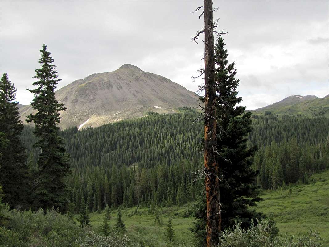
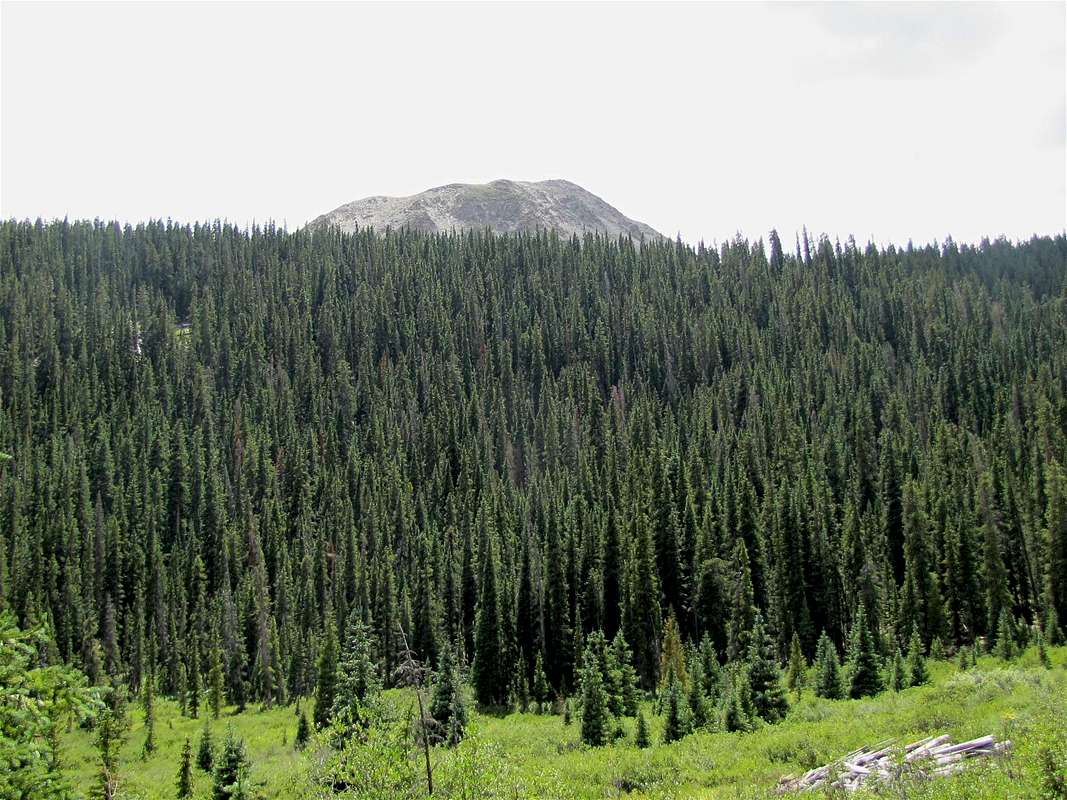
North face of Peak 12724 ft
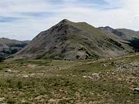
West Face

North Face
Rank: Peak 12724 ft is Colorado’s 841st highest ranked peak.
Prominence: 464 ft
Peak 12724 ft rises in the western parts of the Chalk Creek Valley in the Sawatch Mountains of central Colorado near the town of Buena Vista. It sits on the crest of a ridgeline that separates The North Fork of Chalk Creek from Wildcat Gulch.
Although Peak 12724 ft is lower than most of its neighbors, steep slopes and a pointed summit give it much visual prominence. It is well visible from Tincup Pass Road, a 4WD road that starts in the ghost town of St. Elmo in Chalk Creek Valley and goes through the 12154 ft Tincup Pass. Alpine Tunnel Trail (see Mt. Helmers page) starts in the eastern parts of Tincup Pass Road and goes through a 11940 ft saddle between Peak 12724 ft and Peak 12885 ft. From the saddle, you can hike up the western slopes of Peak 12724 ft to reach its summit (Alpine Tunnel Trail continues south beyond the 11940 ft saddle to reach the ghost town of Hancock).


North and northwestern faces of Peak 12724 ft
Getting There
Directions to the beginning of Tincup Pass Rd in St. Elmo:From the town of Buena Vista drive 8 miles south on Route 285 to a place known as Nathrop and then turn west onto Route 162. Drive this road 16 miles to the ghost town of St. Elmo (the first 10 miles are paved and the rest is a well graded dirt road). In St. Elmo, go thru “Main Street”, turn right and cross the bridge to the north side of Chalk Creek. Then make an immediate left and continue to the west end of town.
Route (via Tincup Pass Rd)
All distances are per my GPS.See the Route Page for Peak 12885 ft. Follow the instructions to reach the 11940 ft saddle. From the saddle, you can hike up the steep western slopes of Peak 12724 ft to reach its summit.
 Summit | 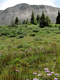 NW Face | 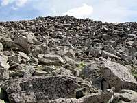 Western Slopes |
Views from the summit of Peak 12724 ft:
 Peak 12885 ft | ||
 Mt. Helmers & Peak 12954 ft | 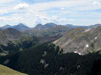 Mt. Aetna & Monumental Peak | 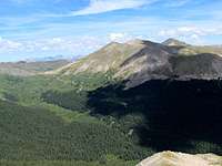 Tincup Pass & Emma Burr Mtn |
 Mt. Princeton |  Tincup Pass Rd | 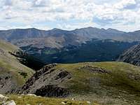 Grizzly Peak & Mt. Mamma |
 Fitzpatric Peak | ||