
|
|
Mountain/Rock |
|---|---|
|
|
38.67688°N / 106.43778°W |
|
|
Mountaineering |
|
|
Summer |
|
|
12885 ft / 3927 m |
|
|
Overview
The northeastern face of Peak 12885 ft

North Face

NE Face
Rank: Peak 12885 ft is Colorado’s 728th highest ranked peak
Prominence: 505 ft
Peak 12885 ft sits on the Continental Divide in the Sawatch Mountains of central Colorado near the town of Buena Vista. It belongs to a group of nameless 12ers that rise at the western end of Chalk Creek Valley. Like most of its neighbors, Peak 12885 ft has gentle slopes that allow easy access to its summit.
To the north, Peak 12885 ft is connected to the 13122 ft Fitzpatrick Peak and to the south it connects to Peak 12954 ft. A 11940 ft saddle separates Peak 12885 ft from Peak 12724 ft to the east. The small Graphite Lake sits to the northwest of Peak 12885 ft at elevation of 11780 ft.
A four wheel drive road known as Tincup Pass Road starts in the ghost town of St. Elmo in Chalk Creek Valley and heads west going through the 12154 ft Tincup Pass. Alpine Tunnel Trail (see Mt. Helmers Page) branches off of the eastern parts of Tincup Pass Road and goes through the 11940 ft saddle at the base of the summit of Peak 12885 ft. From the saddle, you could hike up the grassy eastern slopes of Peak 12885 ft to reach its summit (Alpine Tunnel Trail continues south beyond the saddle to reach the ghost town of Hancock).
East and northeastern Faces of Peak 12885 ft
Pictures
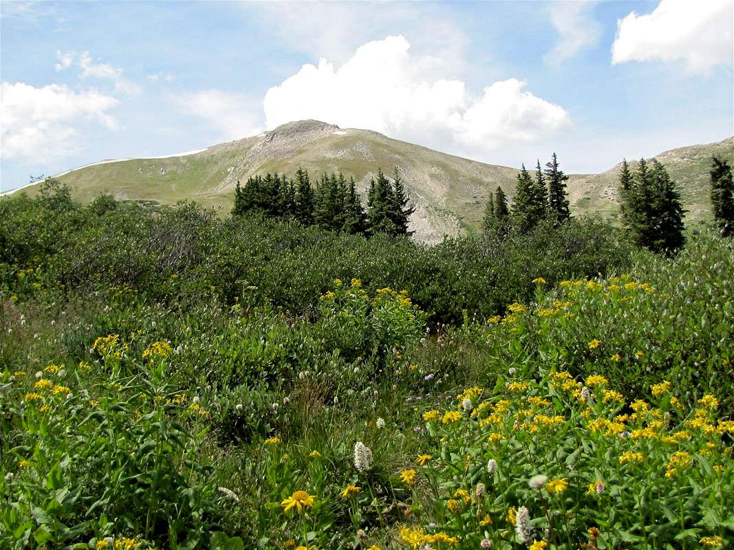
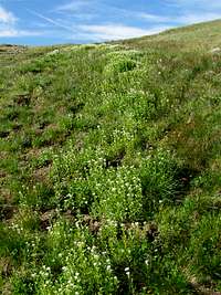
Meadow at the beginning of Alpine Tunnel Trail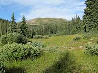 |  |
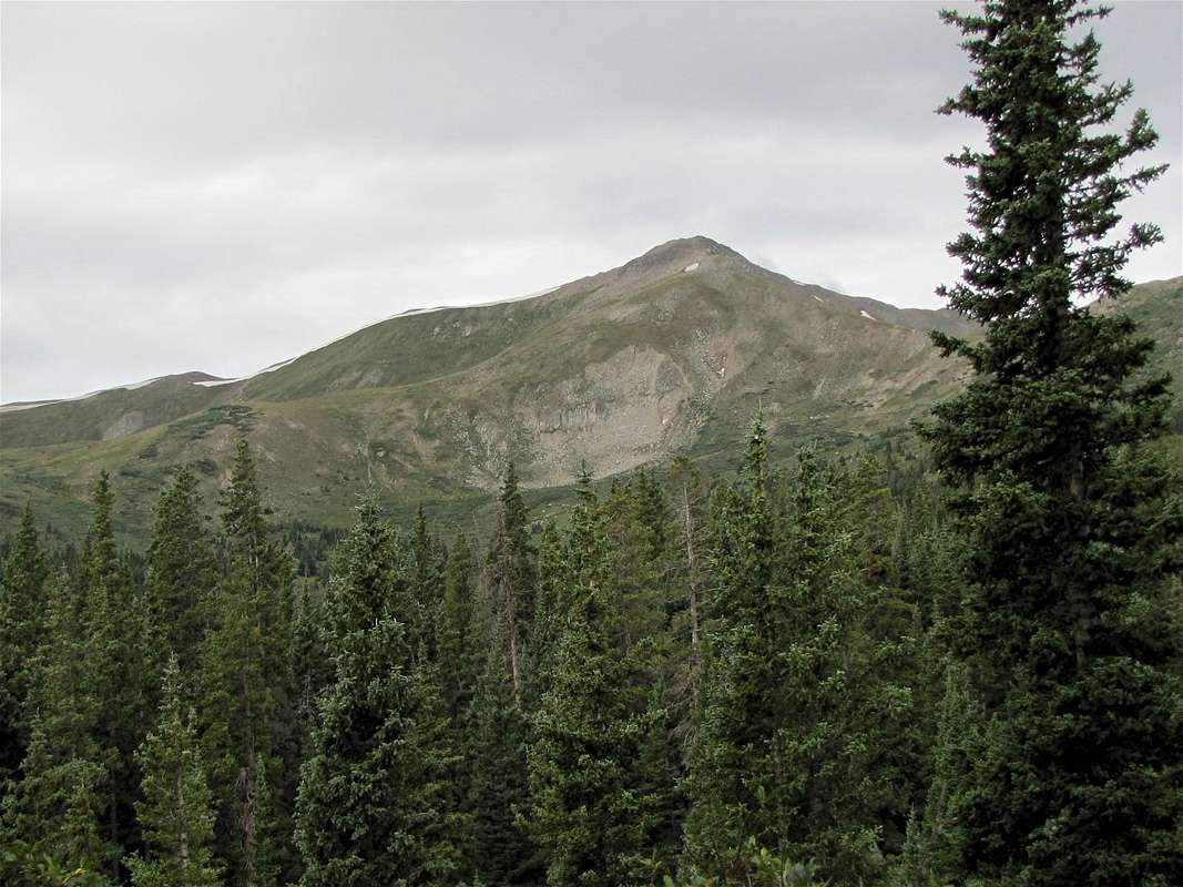
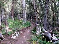
Alpine Tunnel Trail in pine forest
 | 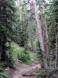 |  |
Near tree-line
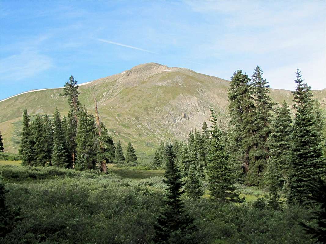
 Peak 12885 ft |  Peak 12885 ft |
Alpine tundra
 |  |
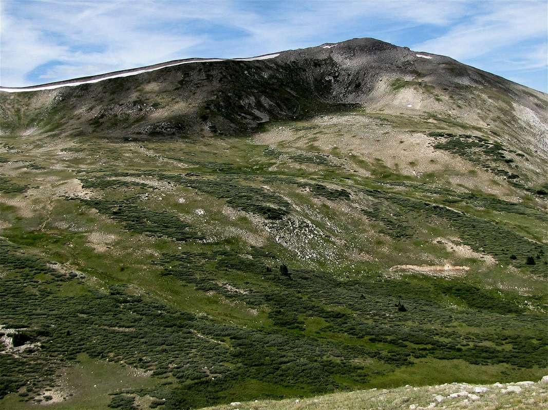
Southern ridgeline of Peak 12885 ft
 Southern Ridgeline |  Summit |
Views from the summit of Peak 12885 ft
 Fitzpatrick Peak & Graphite Lake | ||
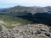 Tincup Pass & Mt. Yale | 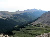 Mt. Princeton & Chalk Creek | 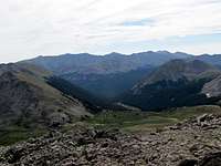 Wildcat Gulch |
 Mt. Aetna | 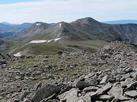 Mt. Helmers & Peak 12954 ft | 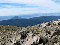 Tomichi Dome |
 Fairview Peak | ||
Getting There
Directions to the beginning of Tincup Pass Rd in St. Elmo:From the town of Buena Vista drive 8 miles south on Route 285 to a place known as Nathrop and then turn west onto Route 162. Drive this road 16 miles to the ghost town of St. Elmo (the first 10 miles are paved and the rest is a well graded dirt road). In St. Elmo, go thru “Main Street”, turn right and cross the bridge to the north side of Chalk Creek. Then make an immediate left and continue to the west end of town.
Red Tape
No fees or permits for day hikes. For other regulations, see the site for San Isabel National Forest. Map |