|
|
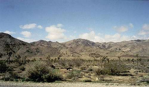
Mountain/Rock |
|---|---|
|
|
34.00730°N / 116.2406°W |
|
|
San Bernardino |
|
|
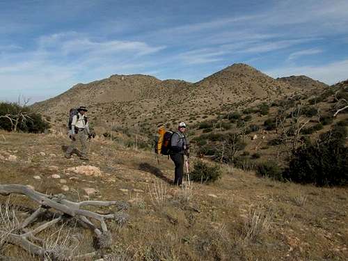
Hiking |
|
|
Spring, Fall, Winter |
|
|
5820 ft / 1774 m |
|
|