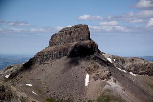
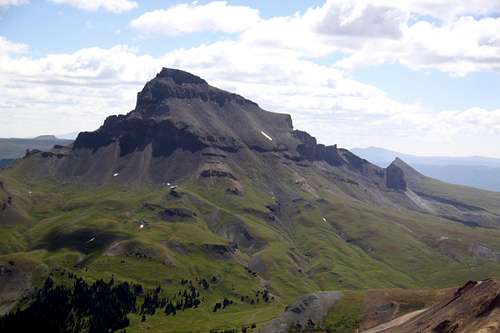
Guide to Colorado Mountains with Robert Ormes (sort of a bible of Colorado mountains) gives a short description: "Peak 13,411' (Heisshorn), which is 1.3 miles north of Wetterhorn, is described as looking like an upthrust tooth. A car can be driven all the way to the Middle Fork Trailhead, from which a trail leads south high into the basin, before turning east to cross over into the East Fork by way of 12,595' pass just north of Heisshorn. It was first climbed in the 1920's from a flat stretch on the north ridge at 13,250', by a route that works south, around from the pass, to the east face on the the 12,800' level. One can then reach the platform by climbing a loose gully on that face or taking the more solid arete on its right side. The final bit of ridge from the platform to the top is an exposed knife edge."
Getting There
Approach via
Middle Fork of Cimarron: From Montrose follow US Highway 50 for approximately 20 miles to the intersection with County Road 858 (sign for Silver Jack Reservoir). Turn south on CR 858 and continue approximately 18.7 miles to Silver Jack Reservoir. Country ROad 858 becomes Forest Service Road # 858 at the forest boundary. Continue on FSR for approximately 1 mile to Forest Service Road # 861.1. It is signed for Middle Fork of the Cimarron. Turn right and follow this road for approximately 4.6 miles to the trailhead.
Route
Class: 4
Length: 12 miles round trip
Hike on
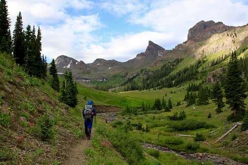
Middle Fork of Cimarron Trail: The trail travels south following the Middle Fork of Cimarron River at gentle grade. In approximately 0.03 miles the trail enters Uncompahgre Wilderness. It continues through spruce /fir and aspen where at about 2. 2 miles it intersects the Porphyry Basin Trail # 243 and it crosses a small drainage. After the crossing, it becomes steep for about 1/4 mile then levels off again. At approximately 4.1 miles, the trail leaves the River and begins to ascend the ridge between the Middle Fork drainage and the East Fork drainage. It climbs steeply above timberline to a saddle at an elevation of 12,595 feet. The views of Uncompahgre Peak raising at 14,309 feet, Matterhorn Peak raising 13,590 feet and Wetterhorn Peak raising 14,015 feet are spectacular. After passing through the saddle, the trail begins its descent into the East Fork drainage. You could use this approach too, but it is longer.
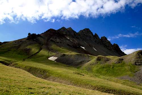
Middle Fork Basin
|
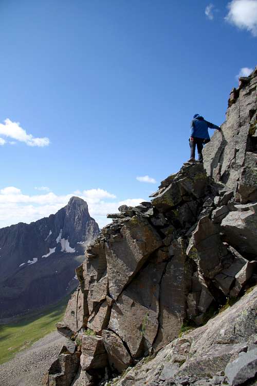
Heisshorn as seen from the saddle
|
Heisshorn Talus
|
Heisshorn descent
|
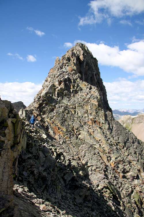
Heisshorn scramble
|
The final scramble
|
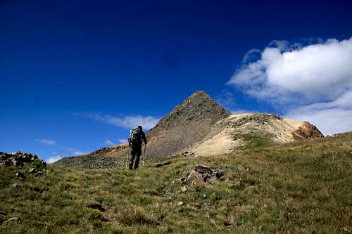
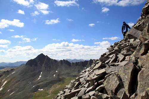
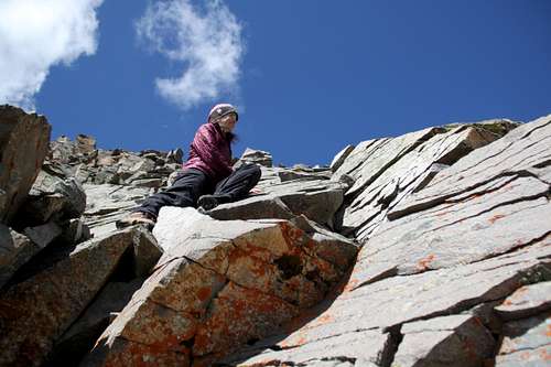
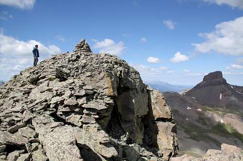
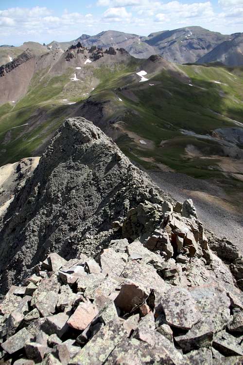
Heisshorn NNE Ridge Route: From the pass at 12,595 feet, leave the trail and head towards the ridge. The walking is initially easy and you can see only the first point on the ridge. As you engage the ridge, stay on the crest as much as possible. The ridge is quiet narrow at some spots and some rock is covered with lichen, which is slippery when whet. You get over the first summit, slight descend and continue along the ridge to a steeper looking main summit. We saw small cairns here and there. At one point we followed a faint trail on the left side of the ridge before heading back to the crest on talus. Test every hand and foot hold, it is loose and very exposed. Route finding was pretty obvious and some zig zagging on rocks made the ascent easier. There was a nice cairn on the summit. I did not find a summit register (2017). Return the same way as you came up.
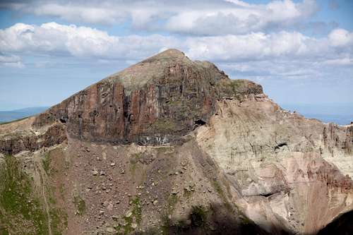
Heisshorn summit
|
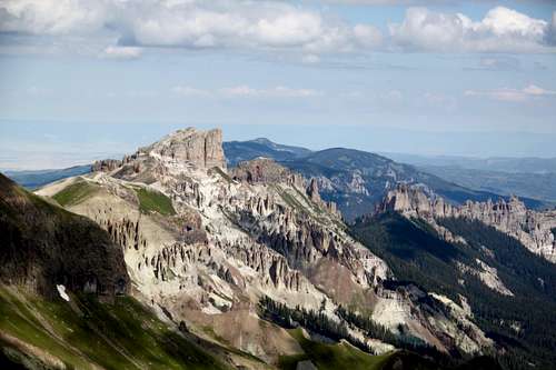
Coxcomb Peak
|
Redcliff
|
Precipice, Dunsiname and Turret
|
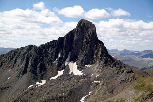
Wetterhorn Peak |
Uncompahgre Peak |
Red Tape
NNE ridge of Heisshorn
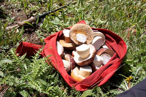
Mushroom picking The Middle Fork of Cimarron Trail #227 is located within Uncompahgre Wilderness.
Uncompahgre Wilderness was designated in 1980. The name comes from a Ute Indian word with one of the translations being "dirty water". There are two fourteeners and at least twenty five 13,000 foot peaks.
Wilderness rules apply here: ALL VISITORS PROHIBITIONS:
1. Entering or being in the restricted area with more than 15 people per group, with a maximum combination of people and
stock not to exceed 25 per group.
2. Camping within one hundred (100) feet of any lake, stream, or National Forest System Trail.
3. Building, maintaining or using a fire, campfire, or wood-burning stove fire:
a) within one hundred (100) feet of any lake, stream or National Forest System Trail.
b) above treeline.
4. Storing equipment, personal property, or supplies for longer than seven (7) days.
5.Hitching, tethering, hobbling or otherwise confining a horse or other saddle or pack animal: 1) in violation of posted instructions, or 2) within 100 feet of all lakes, streams, and National Forest System Trails.
6. Possessing a dog which is not under control, or which is disturbing or damaging wildlife, people, or property.
Note: the term "under control" is defined as the dog being leashed, and/or under direct verbal control by the
dogs owner or handler at all times.
7. Shortcutting a switchback in a trail.
When to Climb
Best is June through October, early May will still have too much snow.
If traveling in the winter, always check avalanche conditions and be prepared to spend the night out.
Camping
Wilderness backpacking is excellent and highly recommended. The upper Middle Fork basin has plentiful beautiful camping spots.
You can sleep in the car right at the trailhead - comfortable flat parking.
There are also many campsites on your drive in along the Middle Fork road, great for car camping.
Silverjack reservoir has a developed
campground, which is a popular destination with locals. You have to pay fee to camp at Silver Jack.
External Links