
-
 5198 Hits
-
 83.69% Score
-
 17 Votes
|
|
Mountain/Rock |
|---|---|
|
|
38.14596°N / 107.46743°W |
|
|
Hinsdale |
|
|
Hiking |
|
|
Spring, Summer, Fall, Winter |
|
|
13100 ft / 3993 m |
|
|
Overview
Unnamed 13100 B is a low 13er located in the northern San Juan range of Colorado Mountains. Colorado has so many 13ers (mountains above 13,000 feet = 3962 meters) that many remained unnamed. B means there are 2 unnamed mountains of this height. It is a ranked peak.UN 13100 combines really nicely with Sheep Mountain C.
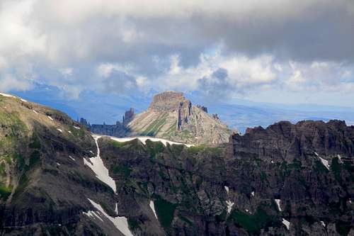
Sheep Mountain C (on the right) and UN 13100 B (on the left)
Colorado Rank: 569
Saddle: 12,620 feet
Parent Lineage: Line Parent: Unnamed 13681 Proximate Parent: Sheep Mountain
Wilderness: Uncompahgre
Class: 2
Nearby Mountains:
- Sheep Mountain C 0.89 miles
- Unnamed 13681 1.85 miles
- Unnamed 13060 D 2.14 miles
- Silver Mountain 2.89 miles
- Precipice Peak 4.14 miles
- "El Punto" 4.26 miles
- "Fortress Peak" 4.76 miles
Getting There
The Little Cimarron Trail # 229 begins at the Alpine-Little Cimarron Trailhead on Forest Service Road 864.
From Montrose travel approximately 21 miles on US highway 50 east (towards Gunnison) to the intersection with County Road 864 = Little Cimarron Road. This road is well marked, nicely graded and easily passable by low clearance vehicles. Turn south on CR 864 and continue approximately 16 miles to the Trailhead. There is parking for about 2-3 cars and the trailhead is marked as East Cimarron Trail. Elevation at the trailhead is about 9,720 feet.
Route
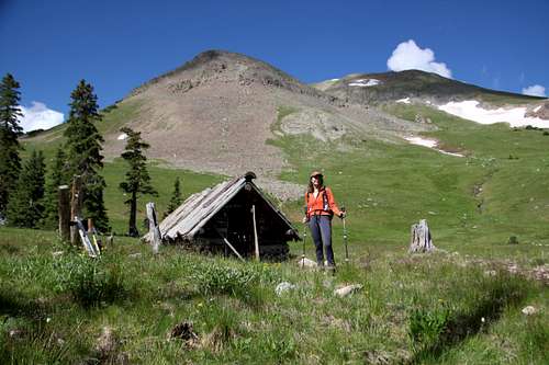
Cabin below 13100
East side of UN 13100
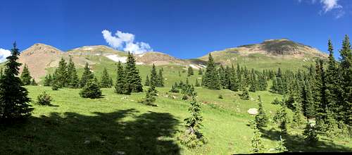
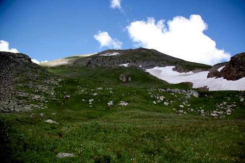
There is an old cabin below UN 13100. I stopped there to explore a little bit (could be an ok place to bivouac in the future). Once above timberline and had both UN 13100 and Sheep mountain in a view, the route finding was easy and obvious. It is nice that this route does avoid scree - you walk on a trail, through a forest, and on grassy slopes.
There was a small cairn on the summit. No summit register. The views were spectacular.
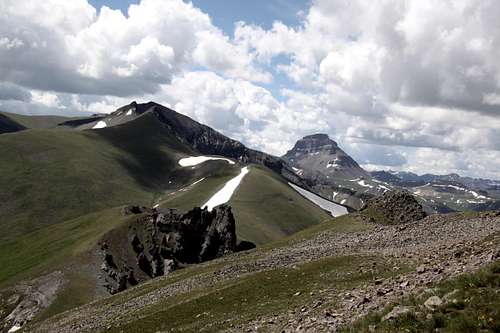 Silver Mountain and Uncompahgre from south ridge of UN 13100 | 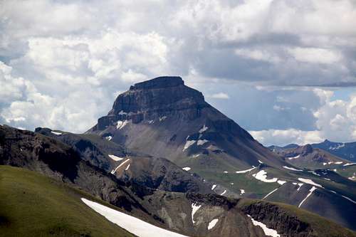 Uncompahgre 14er |
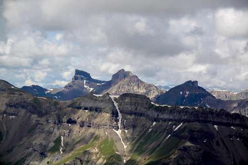 Coxcomb, Redcliff and Fortress | 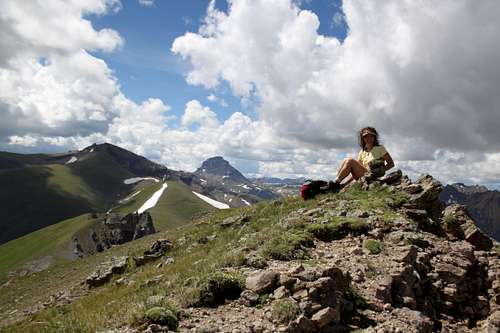 13100 B summit |
 Dunsinane Mountain | 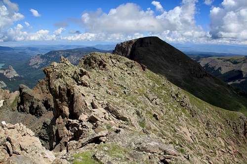 Sheep Mountain C |
Red Tape
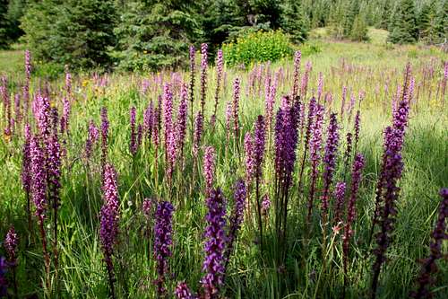
Pink wildflowers
Uncompahgre Wilderness was designated in 1980. The name comes from a Ute Indian word with one of the translations being "dirty water". There are two fourteeners and at least twenty five 13,000 foot peaks.
Wilderness rules apply here: ALL VISITORS PROHIBITIONS:
1. Entering or being in the restricted area with more than 15 people per group, with a maximum combination of people and
stock not to exceed 25 per group.
2. Camping within one hundred (100) feet of any lake, stream, or National Forest System Trail.
3. Building, maintaining or using a fire, campfire, or wood-burning stove fire:
a) within one hundred (100) feet of any lake, stream or National Forest System Trail.
b) above treeline.
4. Storing equipment, personal property, or supplies for longer than seven (7) days.
5.Hitching, tethering, hobbling or otherwise confining a horse or other saddle or pack animal: 1) in violation of posted instructions, or 2) within 100 feet of all lakes, streams, and National Forest System Trails.
6. Possessing a dog which is not under control, or which is disturbing or damaging wildlife, people, or property.
Note: the term "under control" is defined as the dog being leashed, and/or under direct verbal control by the
dogs owner or handler at all times.
7. Shortcutting a switchback in a trail.
When to Climb
Best is June through October, early May will still have too much snow.
If traveling in winter, always check avalanche conditions and be prepared to spend the night out.