|
|
Mountain/Rock |
|---|---|
|
|
38.69805°N / 106.4516°W |
|
|
Chaffee/Gunnison |
|
|
Summer |
|
|
13112 ft / 3997 m |
|
|
Overview
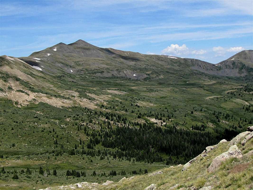
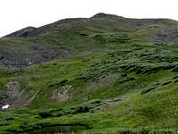
Southeastern face of Fitzpatrick Peak
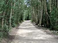
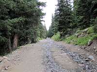
Fitzpatrick Peak rises at the western end of Chalk Creek Valley in the Sawatch Mountains of central Colorado. It sits on the Continental Divide near the 12154 ft Tincup Pass. A four wheel drive road starts in the ghost town of St. Elmo in Chalk Creek Valley and heads 6 miles west to reach Tincup Pass. This road can provide access to the base of Fitzpatrick Peak.
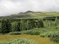
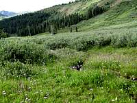
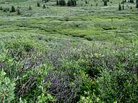
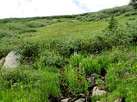
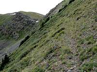
The eastern slopes of Fitzpatrick Peak drop gently to form an alpine basin above tree-line. To climb Fitzpatrick Peak, you could hike or drive Tincup Pass Road to above tree-line and then hike across the basin. Please be ware that the dense growth of bushes that cover much of the basin make it difficult to hike in the basin. An easier but perhaps less scenic route is to go to Tincup Pass. Point 12780 ft sits between Tincup Pass and the northern base of the summit of Fitzpatrick Peak. A beaten path can be used to traverse the slopes of Point 12780 ft (see Route page).
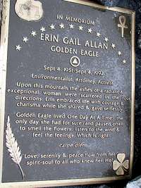
On the summit of Fitzpatrick Peak I saw a metal plate in memory of an environmentalist attorney whose ashes were scattered on this mountain. I have not found any information on the internet about this person. If you know anything, please let me know.
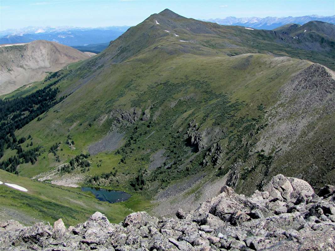
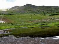
South face of Fitzpatrick Peak, Graphite Lake seen
Pictures
TINCUP PASS ROADEASTERN SLOPES
NORTHERN RIDGELINE
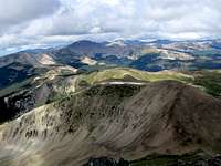
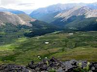
VIEWS FROM THE SUMMIT
Getting There
Directions to the beginning of Tincup Pass Rd in St. Elmo:From the town of Buena Vista drive 8 miles south on Route 285 to a place known as Nathrop and then turn west onto Route 162. Drive this road 16 miles to the ghost town of St. Elmo (the first 10 miles are paved and the rest is a well graded dirt road). In St. Elmo, go thru “Main Street”, turn right and cross the bridge to the north side of Chalk Creek. Then make an immediate left and continue to the west end of town.


