
|
|
Mountain/Rock |
|---|---|
|
|
39.00460°N / 106.59462°W |
|
|
Pitkin/Chaffee |
|
|
Mountaineering |
|
|
Summer |
|
|
13447 ft / 4099 m |
|
|
Overview
Note About Elevation: The USGS Map gives this peak an elevation of 13447 ft. The list of Colorado 13ers, however, gives it an elevation of 13463 ft. The reason for this discrepancy is not known to me. If you have any information about this, please let me know (see discussion under "Comments" on the left side of this page or here).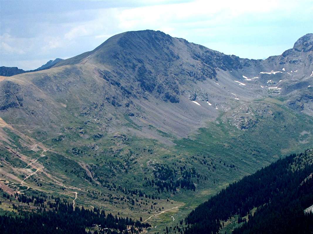
Northwestern face of Peak 13447 ft
West Face

Northwestern face
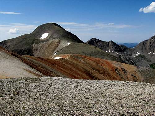
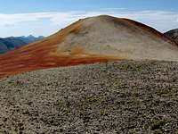
Unnamed Peak 13447 ft sits on the Continental Divide at the southern end of Lincoln Creek Valley near Aspen, Colorado. To the north, a 12900 ft saddle separates Peak 13447 ft from Garfield Peak (13780 ft). The slopes near and to the north of the saddle are covered by bright red rock. An unranked high point to the north of the saddle is known as Red Mountain.
To the northeast, Peak 13447 ft is connected to Middle Mountain (13100 ft) and to the southwest it connects to Prize Benchmark (Unnamed Peak 13384 ft)
Reaching the base of Peak 13447 ft requires much four wheel driving. The western slopes can be reached via Lincoln Creek Valley and the eastern/northeastern slopes via South Fork of Lake Creek Valley/ Peekaboo Gulch.

West face of Peak 13447 ft
Getting There
Directions to the ghost town of Ruby in Lincoln Creek Valley:From the town of Aspen, drive roughly 10 miles east on Route 82 until you see the sign for the Lincoln Gulch Road (Forest Road 106) on the right (south) side of the road.
Lincoln Creek Road is a pot hole ridden dirt road. High clearance and four wheel drive are recommended especially for the last 5.5 miles of the road.
Follow Lincoln Creek Road 6.5 miles east to Grizzly Reservoir. Here the road turns south, becomes rougher and continues another 5.5 miles south (past Petroleum & Anderson Lake Trailheads) to dead end at the former town site of Ruby. Allow one hour for the Lincoln Creek Road drive.
Route (western slopes)
North face of Peak 13447 ft
Starting Point Elevation: 11400 ft
Elevation Gain: 2050 ft
Hiking Distance: Roughly 2 miles to the summit
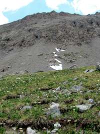
12900 ft saddle
Just before the very end of Lincoln Creek Road, we saw an abandoned Jeep Road to the east that went up toward the red colored saddle. We followed this road until it dead ended at around 12000 ft. We then went up a tedious sandy/scree covered red slope to reach the 12900 ft saddle. From there, we turned south and followed easy ridgetop to the summit of Peak 13447 ft.
For the descent, we continued the ridgetop south of the summit of Peak 13447 ft. Near Point 13090 ft., the ridgetop became rocky and somewhat difficult. We veered east and went down the slopes a short distance into the South Fork of Lake Creek Valley and then came back up to the ridgetop before descending into Lincoln Creek Valley.

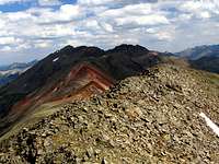
Garfield Peak & Red Mountain
Red Tape
No fees or permits needed for day hikes.For other regulations, see the website for White River National Forest.
Views from the summit of Peak 13447 ft:
 Anderson & Petroleum Peaks
 | |
 Grizzly & Garfield
 |
 Lake Creek Valley
 |
 Truro & Tabor Peaks
 | |
 Prize Benchmark
 | |
Weather
Click to see the forecast for the nearby town of Aspen.
Map