
|
|
Area/Range |
|---|---|
|
|
7500 ft / 2286 m |
|
|
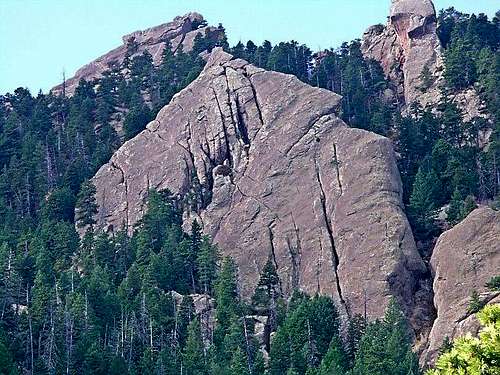
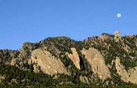
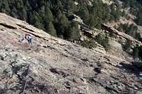
The Flatirons
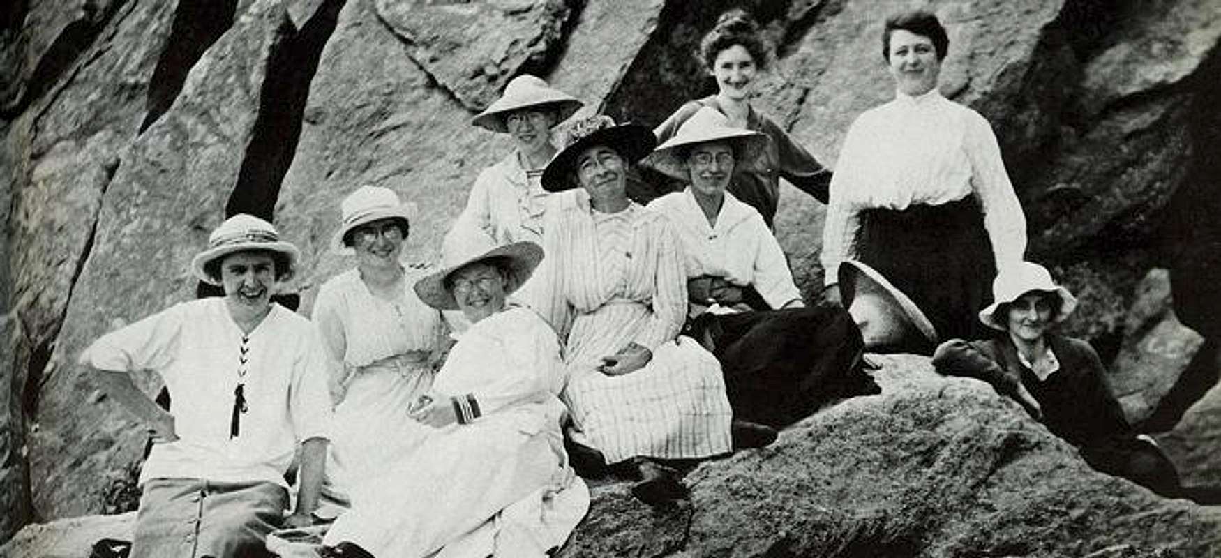
 Photo by Ernest Greenman |
Overview
The eastern toe of Colorado's Front Range is in most places guarded from the Great Plains by a series of craggy ridges. These rocks take on a unique from and flavor in the foothills southwest of Boulder. The wide swath of public land between Boulder and Eldorado Springs holds best climbing the red Fountain Formation has to offer. Climbing options in the Flatirons vary between obscure boulders and slabs scattered through the woods to lofty technical summits and frighteningly exposed towers. Climbing history here dates back over a hundred years and generations of the world’s best climbers have honed their skills on the red sandstone.
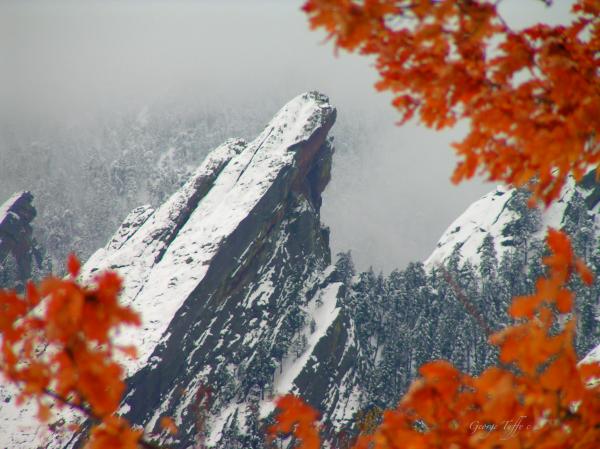
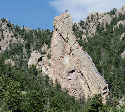
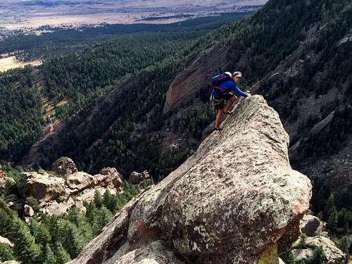
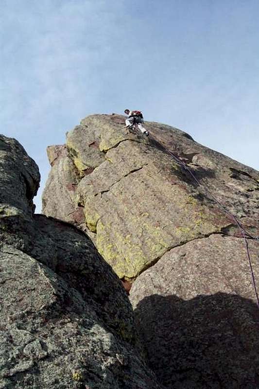
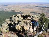
There are dozens of named formations and established routes number in the hundreds to the thousands. A significant number of the routes finish on high summits and should not be missed if you enjoy climbing long and moderate routes with exciting finishes. As a rule of thumb, the eastern facing routes are low angle and usually offer the easiest line of ascent. The north, west and south sides tend to be steep to overhanging. Climbers can find anything from long 4th Class scrambles, to 5.14 sport routes, to V10+ bouldering. Certain climbs, the First and Third Flatirons for example, can be very crowded on weekends, but it’s easy to find solitude the multitude of other less visited crags. Noteworthy summits in the Flatirons include, among others, all of the five numbered formations, the Devil’s Thumb, the Maiden, the Matron, Seal Rock and the Amphitheater towers.
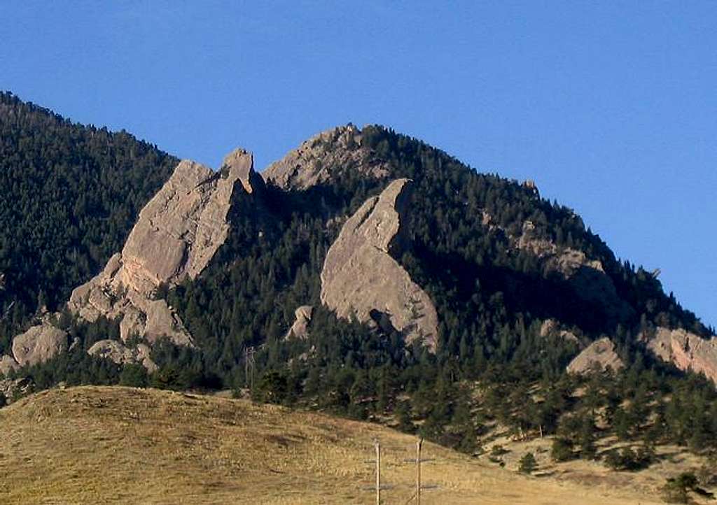
Major Formations
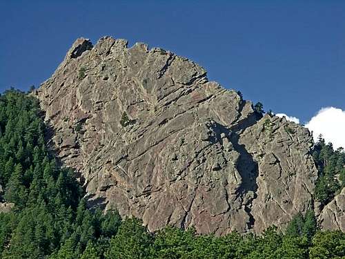
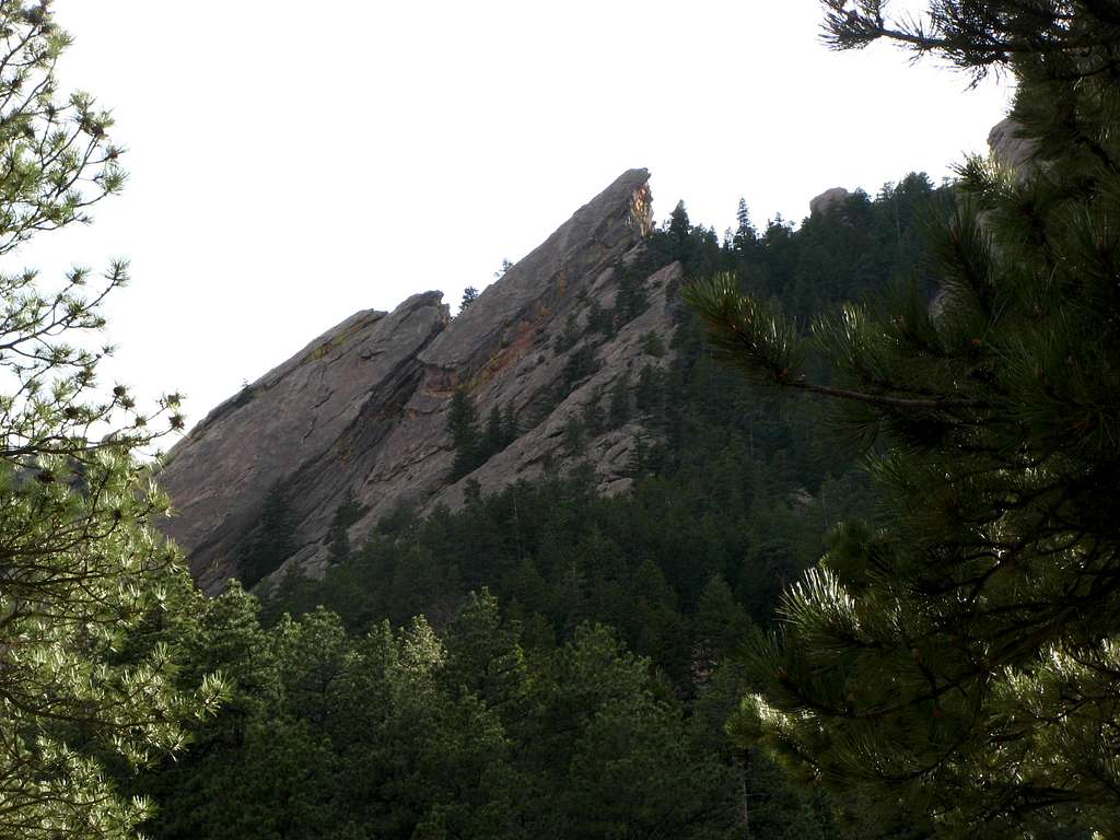
Although the Flatirons are made up of numerous small formations, the largest rocks command some extra attention. Here some of are the largest Flatirons.
|
Green Mountain |
|
First Flatiron |
Second Flatiron |
|
|
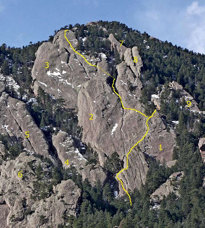
Fourth Flatiron |
Fifth Flatiron |
|
|
Bear Peak |
|
|
|
|
|
|
|
|
|
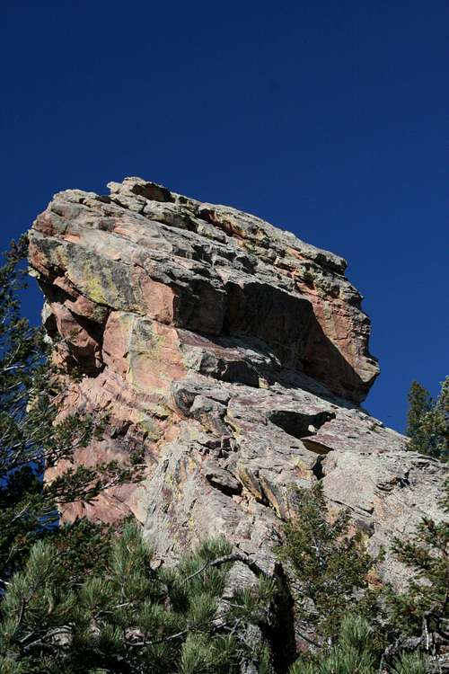
The Maiden |


Getting There
Numerous Open Space and Mountain Park trailheads are scattered in the area south and west of Boulder. Consult online maps or look for access details on specific crags in the routes section.
The trail system in the Flatirons is world class. All maintained trails are well marked and most trailheads provide maps and general information.
When To Climb
Much of the climbing in the area can be comfortably done 12 months a year. Take into account northern aspects when planning a route since these faces can hold snow and ice all winter and can turn a relatively easy route into a full alpine experience. The lower-angle east faces can range from sunny and dry slabs to mixed ice adventures so use your best judgment with weather and climbing conditions.
Also remember to check on seasonal wildlife closures since many of the prominent summits aren’t open for half the year.
Camping
Camping in the Boulder area is tough to impossible. Your best bets are Golden Gate Canyon State Park and the Arapaho National Forest.
Mountain Conditions
Although Colorado snow tends to melt quickly and climbing is possible year round, the "easy" slabs become much harder when icy or wet. It's a good idea to check the weather or the Flatiron Webcams before heading over if you live out of town.
Flatirons Webcam
NOAA
 Fi Fun
Red Tape
To my knowledge, all of the land in the Flatirons (other than Eldo State Park) is managed by Boulder Open Space and Mountain Parks. The regulations that govern Open Space and Mountain Parks are lengthy so I won’t go into many details here.
The rules of greatest interest to climbers are probably those that deal with seasonal wildlife closures. A significant portion of the Flatirons closes for half a year to protect habitat. These restrictions came about in the late 80s and have always been a contentious issue. An important issue of late is the creation of the Visitor Master Plan, which threatens off-trail access to many crags and boulders.
Guidelines specific to climbing can be found here.
General Open Space and Mountain Parks info can be read here.
Most trailheads will also provide information on general rules and closures.
External Links
Articles
More Climbing Resources
Good Trip Reports
Climbing History
The Flatirons have some of the earliest recorded climbs in Colorado.
 |
Climb On!
 |
||
 |
 |
 |
John Prater - Nov 8, 2005 10:39 am - Hasn't voted
Untitled CommentRegarding the seasonal wildlife closures, the City of Boulder OSMP closure page doesn't have links to the closure maps since the areas aren't currently closed. However, the maps are available on their site, and it would be useful if this page had links to these closure maps. You might note that the closure areas can change from year to year, so it is best to check their site first, particularly between February 1st and July 31st. Here are the links to the maps that I found:
Overview of raptor closures - http://www3.ci.boulder.co.us/openspace/visitor/closure/raptor-overview.jpg
Third Flatiron closure - http://www3.ci.boulder.co.us/openspace/visitor/closure/3rd-flatiron.jpg
Skunk Canyon closure - http://www3.ci.boulder.co.us/openspace/visitor/closure/skunk-canyon.jpg
Bear Creek Spire closure - http://www3.ci.boulder.co.us/openspace/visitor/closure/bearspire.jpg
Fern Canyon closure - http://www3.ci.boulder.co.us/openspace/visitor/closure/fern-canyon.jpg
Shadow Canyon/Matron closures - http://www3.ci.boulder.co.us/openspace/visitor/closure/shadow.jpg