
|
|
Area/Range |
|---|---|
|
|
46.37613°N / 8.90516°E |
|
|
Hiking, Mountaineering, Trad Climbing, Sport Climbing, Scrambling, Canyoneering, Skiing |
|
|
Spring, Summer, Fall, Winter |
|
|
11168 ft / 3404 m |
|
|
Overview
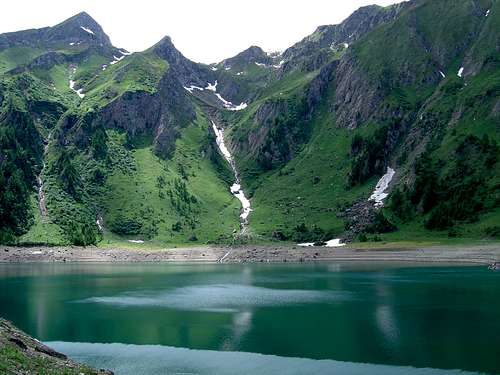
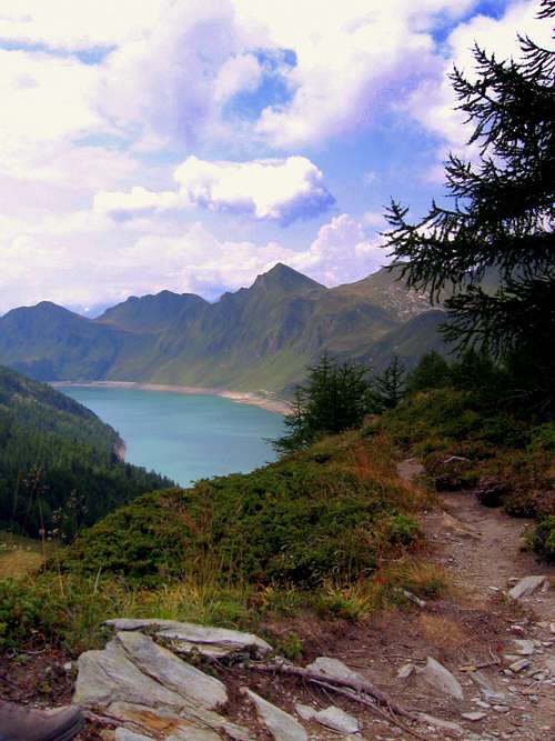
 Ticino (MAP) | 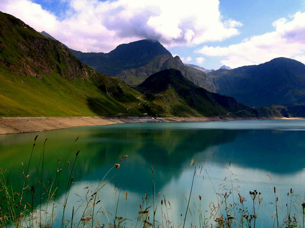 Lago di Ritom, a famous Ticino view |
Ticino (or Tessin as the German-speaking people in Switzerland call it) is the Italian speaking Kanton of Switzerland. It is situated between Wallis, Uri and Graubunden in the north and Italy in the south. Furthermore, Ticino is the southernmost part of Switzerland. It has an area of 2812 square kilometers and has 319.200 inhabitants. The capital is the city of Bellinzona, which means ‘Beautiful Zone/Area’ ; a perfect description of the area's beauty.
Ticino is a world on it’s own since it cannot be compared to any other area in Switzerland nor in the entire Alps. This is mainly because of the climate: Ticino has the great mountains of the Alps but on the other hand it also has the mild climate of the Mediterranean. As a result you will find yourself along palm trees in the valleys looking up towards the high rocky and snowy peaks above you, which is an experience you don’t want to miss out on.
Because of these features the area is excellent for hiking, scrambling and climbing, but also for relaxing and enjoying the sun at for instance lake Lago Maggiore, which was created by the carving of ancient glaciers.
Ticino consists of some amazing valleys like the main Leventina valley which is the valley you cross when accessing Ticino from north (Gotthard). Other famous valleys are Valle Verzasca, Valle Maggia and Val di Blenio which all hold some real beautiful hiking trails and challenging peaks waiting to be climbed.
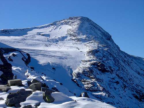
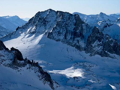
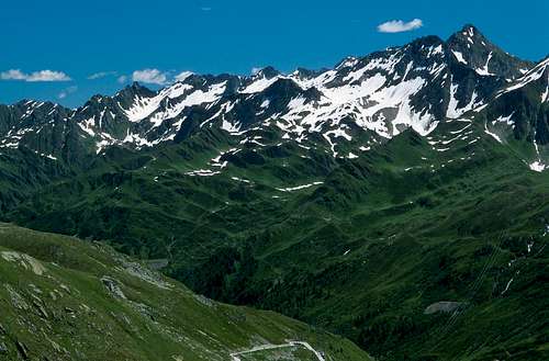
Ticino has two main ridges where the highest mountains of the area can be found. On the west side bordering Italy it is the Basodino-Massif. A strongly glaciated mountain of 3279m high. On the east side, at the border with the Kanton of Graubunden,the Adula-massif can be found. Adula, with its 3404meters high, is the highest peak of Ticino and is better known under the name Rheinwaldhorn. (the German name)
Going from north to south through Ticino, the mountains will gradually become lower in elevation, since the Alps will end and you will enter Italy’s Po-area with big cities like Milano.
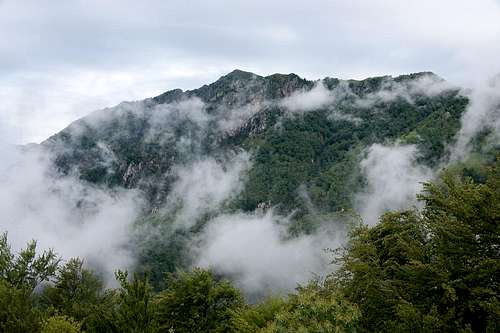
Some views of Ticino / Tessin:
 |  |  |  |  |  |  |
 |  |  |  |  |  |  |
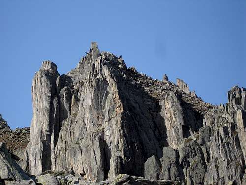
Major Mountains of Ticino:
Upper Eastern Ridge (First W-E ending N-S)
Pizzo Taneda (2667m)
Piz Blas (3019m)
Scopi (3190m)
Cima di Camadra (3172m)
Piz Medel (3211m)
Pizzo Gaglianera(3121m)
Piz Terri (3149m)
Pizzo Cassinello (3101m)
P di Cassimoi (3128m)
P. Jut (3129m)
Grauhorn (3260m)
Rheinwaldhorn/Adula (3402)
Logia (3079m)
Vogelberg (3218m)
Rheinquellhorn (3200m)
Poncione del Freggione
Cima del Cogn (3063m)
Pizzo Muccia (2963m)
Pizzo delle Streghe
Torrone Alto (2950m)
Torrent Basso 2820m)
Cima D'Orz (2700m)
P. di Campedell (2724m)
Mottone (2692m)
Torrone Rosso (2670m)
Pizzo di Claro (2727m)
P. de Molinera (2288m)
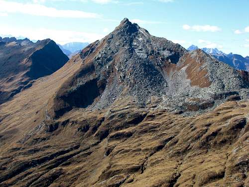
 Piz Blas | 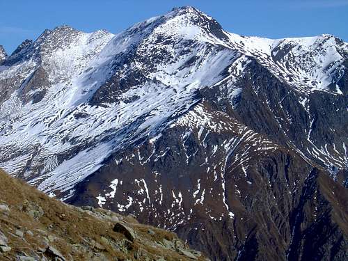 Scopi | 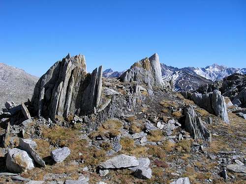 Cima di Camadra | 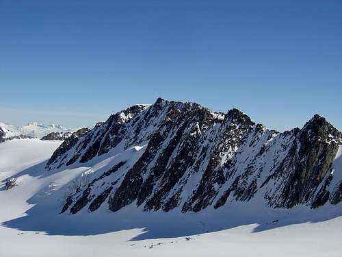 Piz Medel | 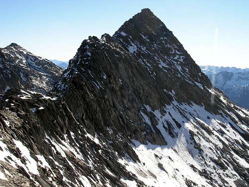 Piz Gaglianera | 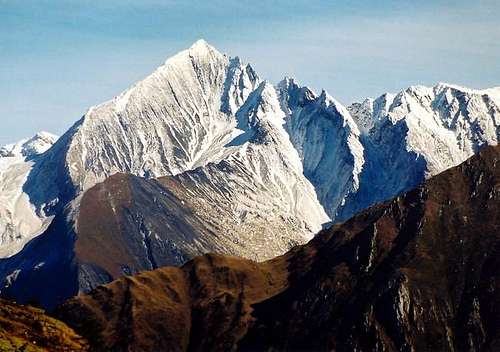 Piz Terri | 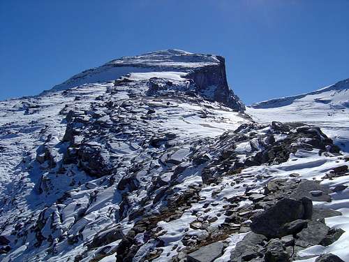 Pizzo Cassinello |
 Pizzo di Cassimoi | 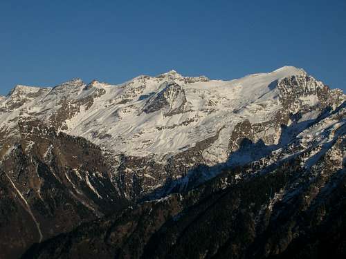 Piz Jut (left) | 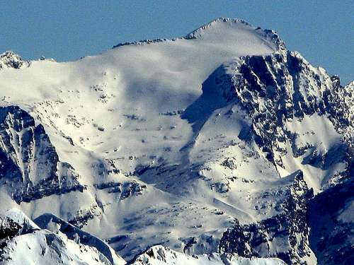 Rheinwaldhorn |  Vogelberg | 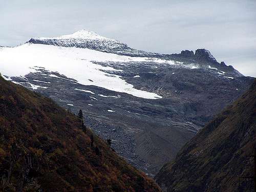 Rheinquellhorn | 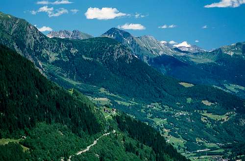 Cima del Cogn |  Pizzo Muccia |
 Pizzo delle Streghe |  Torrone Alto |  Torent Basso |  Mottone |  Torrone Rosso |  Pizzo di Claro |  Piz de Molinera |
Upper Middle Ridge (W-E) (ending South)
Pne de Arbione (2409m)
Pne pro do Robuc (2507m)
Pecianett (2744m)
P. del Sole (2773m)
P. d'Era (2618m)
P. di Campello (2660m)
Cima di Gana Rossa (2565m)
P. Molare (2585m)
Motto Crostel (2302m)
Pizzo Alto (2366m)
P. Erra (2416m)
Cogn (2166m)
Pizzo Matro (2171m)
 Pecianett | P. del Sole & P. d'Era | 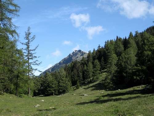 Pizzo Erra | 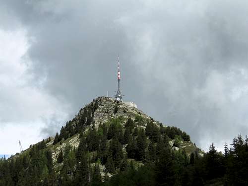 Pizzo Matro |
Upper left Ridge (W-E)
P.Cassina Baggio (2860m)
P. Gallina (3061m)
P. Nero (2904m)
Forcella (2860m)
Pne di Manio (2924m)
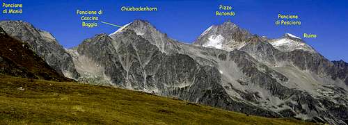
Chuebodenhorn (3070m)
P. Rotondo (3192m)
P. Pesciora (3122m)
Huenerstock (2889m)
Lucendro (2963m)
Fibbia (2739m)
Pizzo Centrale (3000m)
 Pne di Cassina Baggio |  Pizzo Gallina | 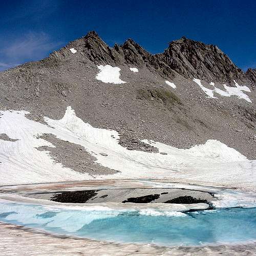 Pizzo Nero | 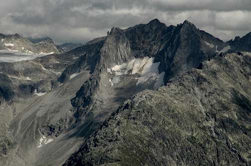 Poncione di Manio | 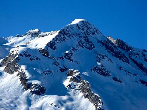 Pizzo Pesciora | 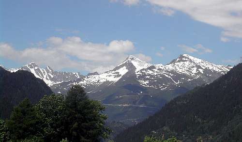 Fibbia |
 Chuebodenhorn |  Pizzo Rotondo |  Pizzo Pesciora |  Huenerstock | 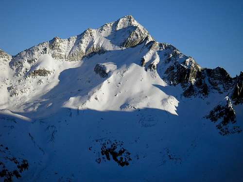 Pizzo Lucendro 2963m | 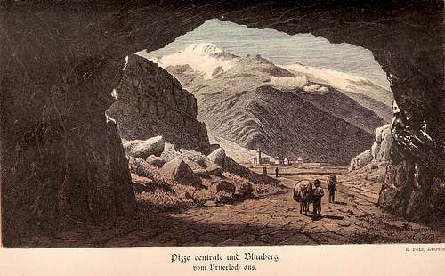 Pizzo Centrale |
Val Bavona West Ridge (N-S)
Poncione val Piana (2660m)
P.S. Giacamo (2924m)
Marchhorn (2962m)
Kastelhorn (3128m)
Basodino (3272m)
Tamierhorn (3087m)
P. Medola (2759m)
Kalberhorn (2805m)
P. Fiorera (2921m)
Madone di Formazzo (2510m)
P. Cazzola (2750m)
Wandfluhhorn (2863m)
Madone Batnall (2748m)
P. Quadro (2792)
Pizzo Stella/Martschenspitz (2688m)
 Poncione val Piana | 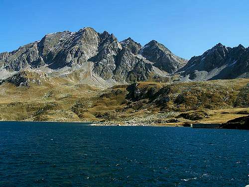 Marchhorn | 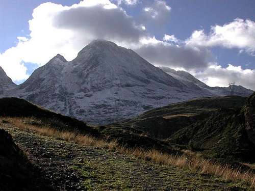 Kastelhorn |  Basodino |  Tamierhorn | 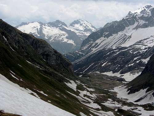 Pizzo Cazzola | 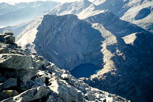 Wandfluhhorn (summit) |
 Pizzo Stella or Martschenspitz |
Val Peccia West Ridge (N-S)
P. Gararesc (2729m)
Cristallina (2912m)
Cavallo del Toro
Poncione di Braga (2864m)
Pulpito (2532m)
P. Castello (2808m)
P dei Foioi (2624m)
Rosso (2604m)
P Oglie (2604m)
Pzo Maldra (2640m)
 Gararesc | 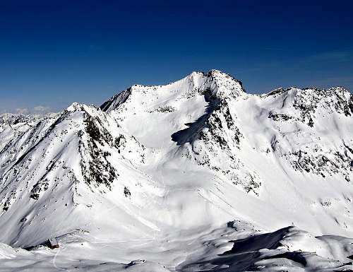 Cristallina | 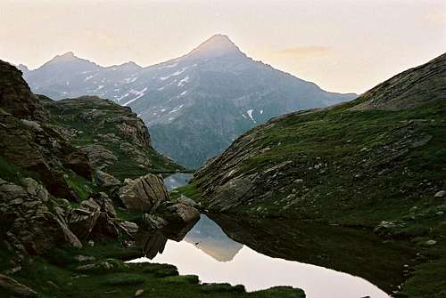 Poncione di Braga |
Val Sambuco west Ridge ( N-S)
P. del L Scuro (2648m)
Pne dei Laghetti (2616m)
P. di Rod (2699m)
P. della Valetta (2580m)
P. del Piatto (2616m)
Valle Leventina West Ridge (N-S)
Pne Sambuco (2587m)
Madone (2710m)
Pizzo del Prevat (2558m)
P. Campolungo (2714m)
P. Cana (2953m)
Pizzo Campo tencia (3072m)
P. Barone (2863m)
P. di Piancoi (2769m)
P. dei Laghetti (2443m)
Cima Bianca (2612m)
P. di Mezzodi (2708m)
Madom Gross (2741m)
P. Cramosino (2718m)
Cima d'Efra (2577m)
Cima Lunga (2512m)
Poncione d'Alnasca (2301m)
Pne Rosso (2505m)
Cima di Precastello (2539m)
Pne di Piotta (2439m)
Madone (2395m)
Pizzo di Vogorno (2442m)
Cima dell Uomo (2390m)
Gaggio (2267m)
 P.ne Sambuco | 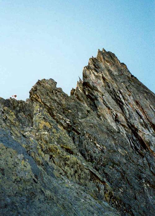 Pizzo del Prevat | 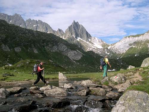 Campolungo & Prevat | 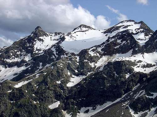 Pizzo Campo Tencia | 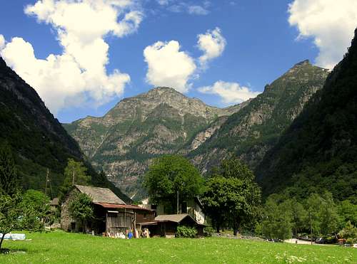 Cima Bianca | 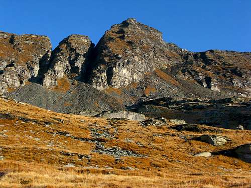 Madom Gross | 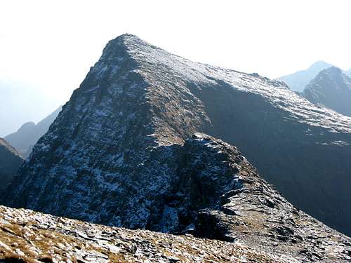 Pizzo Cramosino |
 Cima Lunga |  Poncione d'Alnasca |  Poncione Rosso |  Cima di Precastello | 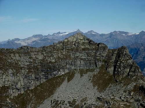 Poncione di Piotta | 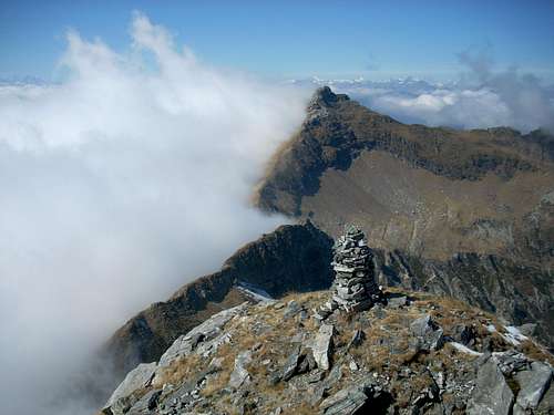 Madone di Vogorno | 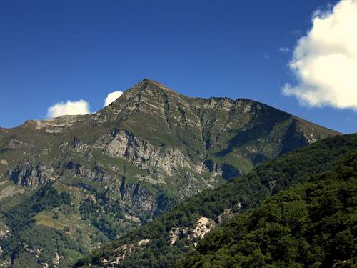 Pizzo di vogorno |
 Cima dell'Uomo | 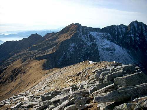 Cima d'Erbea | 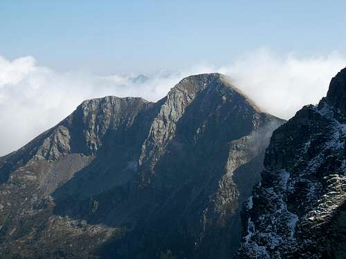 Gaggio |
Valle Maggia East Ridge (N-S)
Madas (2739m)
Corona di Redorta (2804m)
Triangolino (2591m)
Monte Zucchero (2735m)
P. del cocco (2339m)
Sasso Bello (2290m)
P. Alber (2213m)
P. Muretto (2257m)
Piancasia (2360m)
Madom da Sgiof (2265m)
P. di Corbella (2060m)
Cima della Trosa (1869m)
 Monte Zucchero | 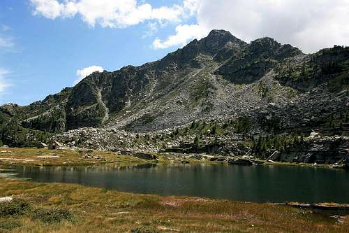 Madom da Sgiof | 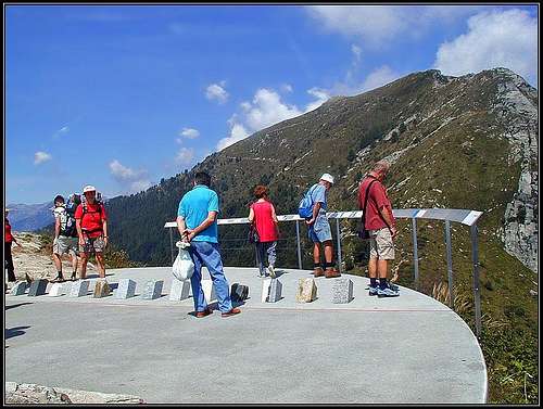 Cima della Trosa |
Val Vergeletto North Ridge (W-E)
P. Porcarescio (2447m)
Pianca (2376m)
Rosso di Ribia (2541m)
Cima di Catogn (2398m)
P. Cramalina (2322m)
Centovalli
Pizzo Ruscada (2004m)
Pianascio (1644m)
Monte Limidario (Gridone, 2188m)
 Pizzo Ruscada | 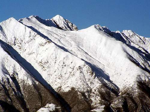 Monte Limidario |
Lago Maggiore & Southern Ticino Mountains
Monte Tamaro (1962m)Pne Breno (1654m)
Monte Lema (1621m)
Monte Paglione, Covreto, Sasso Corbaro (1594m)
Monte Gambarogno (1734m)
Monte Gradiccioli (1936m)
More south:
Monte Generoso (1701m)
 Monte Tamaro |  Monte Paglione |  Covreto |  Sasso Corbaro |  Monte Gambarogno | 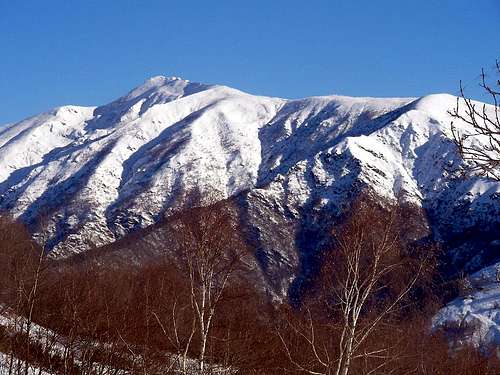 Monte Gradiccioli | 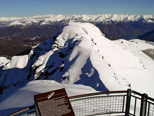 Monte Generoso |
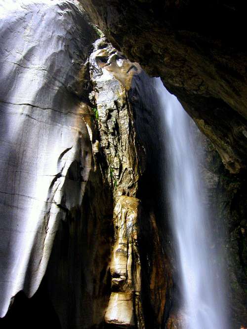
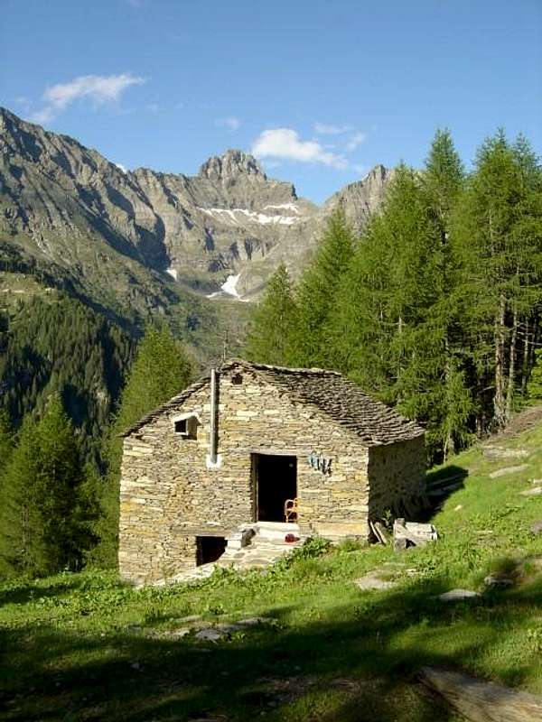
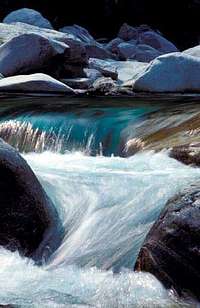
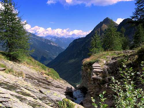
Valle Leventina


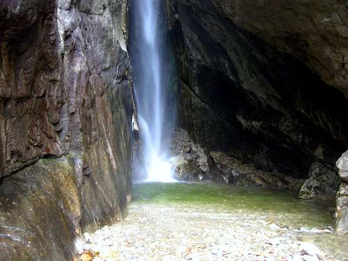
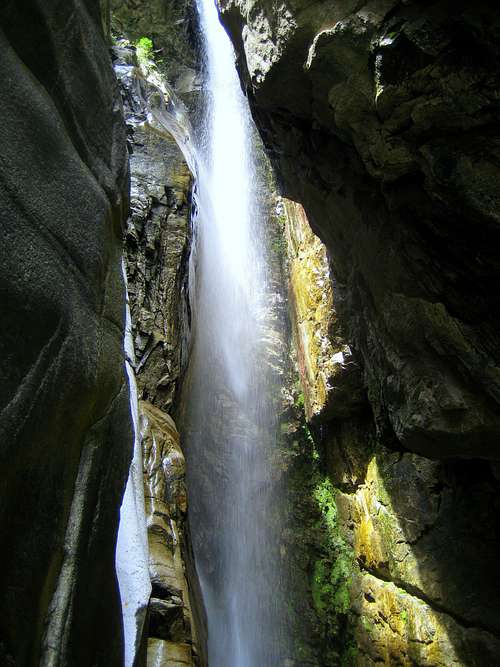
Censo waterfall

Ticino river in Valle Leventina

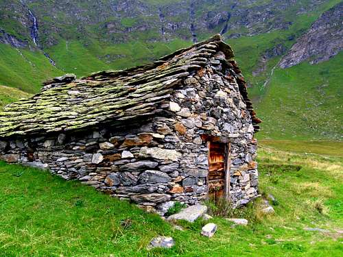
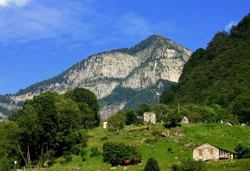
Typical Ticino house
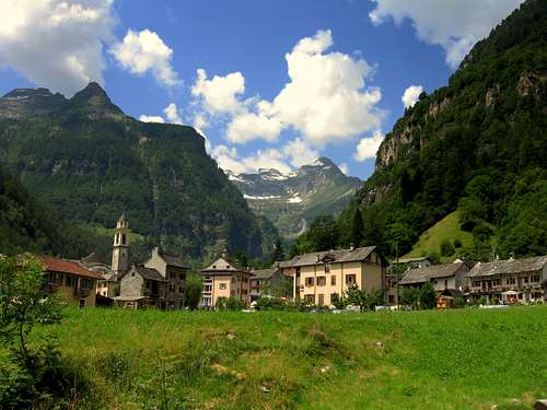
Valle Leventina is the main valley of Ticino. When coming to Ticino from the north you can ether come from the Nufenen- or Gotthard pass. Descending from one of these passes you will enter Ticino in Valle Leventina. You are immediately in another world. Almost always when the weather in the other parts of Switzerland is bad, the clouds will clear up when entering Ticino. This is the result of of the the Mediterranean climate.
The Leventina valley is situated at low altitude, mainly somewhere between 200 and 700 meters above sea level. The mountains rise high above the valley until 3100 meters. As a result climbing these mountains requires a large altitude gain. The altitude gain for climbing a mountain here can go up to 3000 meters, which requires a good physical condition. The highest mountain to be climbed here is Pizzo Campo Tencia (3071m). Other great climbing possibilities are Cima dell Uomo, Pizzo di Claro, and Torrone Alto.
To get more information about climbing these mountains: (click to go to their SP-pages)
Torrone Alto
Pizzo di Claro
For climbing Cima dell’ Uomo, Pizzo Vogorno and many others:
Mornera cableway
This is the home page of the Mornera cableway, which gives you access to climb these mountains. Also info about climbing durations, access etc. can be found.
This cableway is located just north of the city of Bellinzona, (Access map can be found on the mentioned site) and is a perfect way for spending one or more days high in the Ticino Alps.
A nice trad climbing route in Leventina is Via del Veterano
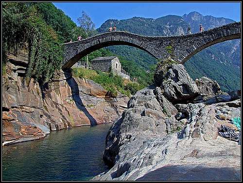
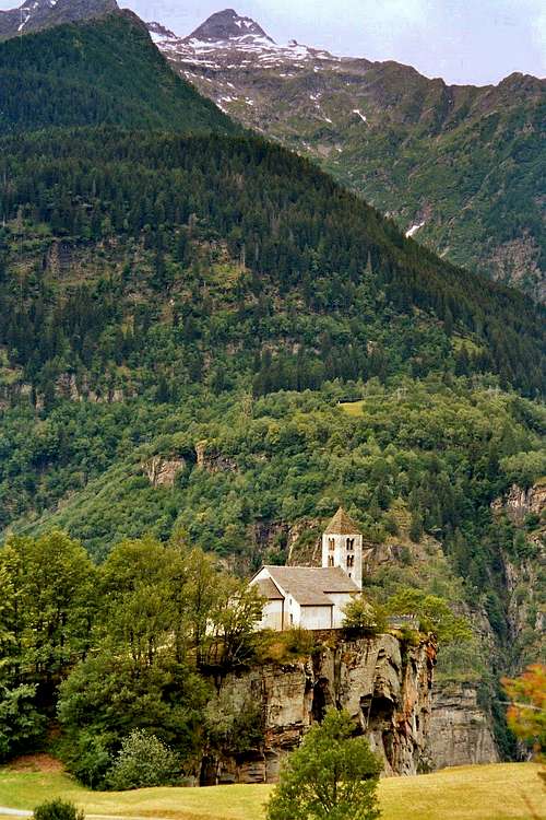
Val Verzasca

Wall high above the verzasca Valley

Lavertezzo's wonderful ancient bridge.

Verzasca River

Pizzo di vogorno (2442m)
Val verzasca is one of the most famous valleys of Ticino. When you enter the valley the first thing you see is an immense Dam. It is the famous ‘James Bond’ Dam since James Bond jumped of it in the movie: Goldeneye. For the thrillseekers: You can imitate him and bungee-jump of it. I have to say: It is a jump of 270 vertical meters and is one of the highest bungee-jumps in the world!
Continuing inside the valley you will come to enjoy the beauty of this valley: little ancient towns, a tremendously beautiful green colored river which the valley is most famous for: The Ticino River.
The valley holds an enormous amount of trails which are all well-marked (See the Map & Book section below)
Also many great mountains can be climbed. Most of them are not too well-known and often seldomly climbed. When you like to be ‘alone’ in the mountains this is the right place to visit.
See the Val Verzasca SP Page for more information about this tremendous area.
For climbing information and hiking trails go to:
Verzasca
Ticino Tourism
 |  |  |  |  |  |
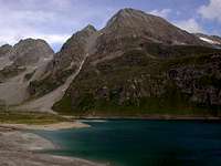
Valle Maggia

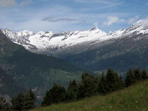
Basodino (3271m) at the end of the Maggia Valley
Water of the Maggia River

View into Maggia valley
Kastelhorn
Valle Maggia is situated in the northwestern part of Ticino.
It holds over 700km of marked trails, which gives a tremendous amount of opportunities for hiking in the area.
Great hikes are for example the trails to the 48 mountain lakes or to the 6 Dams in the area.
To plan your route you can buy the 1:50.0000 Vallemaggia map at the tourist office which is situated in the village of Maggia, Valle Maggia. For other maps see the Books & MAps section below.
A well-known place for hikes and climbs is Robiei, a cableway at the end of the Maggia-Valley.
This is a nice internet page with a lot of nice hiking suggestions.
Go to this page and click on ‘Wanderwege’ on the left side.
The Robiei cableway brings you up to an elevation of about 1800 meters and is the starting point for many great hikes and climbs.
The most famous mountains to be climbed here are Christallina and Basodino.
Click on these names to go to the SP-pages of these mountains for more information about climbing them.
Official Valle Maggia site:
ValleMaggia
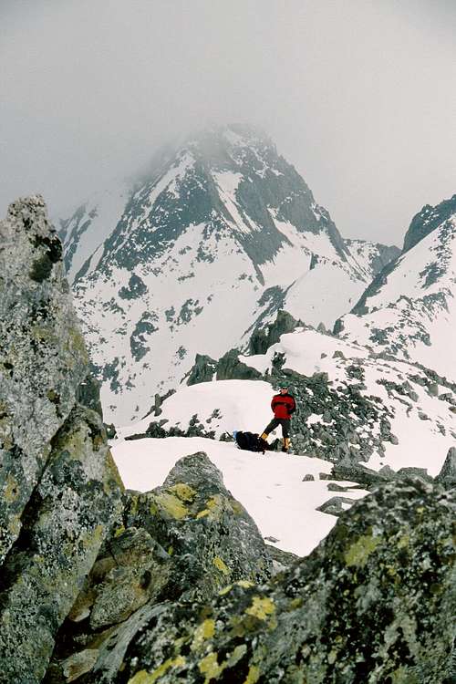
Val Bedretto
Witenwasserenstock 3082m
Autumn enters the Val Bedretto
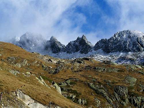
The Val Bedretto is a fine range in the upperleft part of Ticino/ Tessin. Most people enter Ticino from North (Gotthard) en head towards the south into the Leventina valley. As a result the Val Bedretto does not see many visitors.
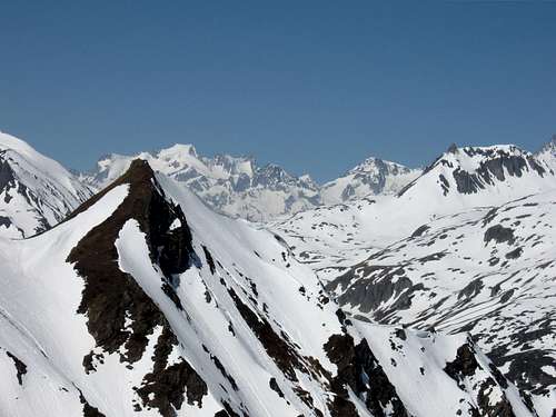
The Val Bedretto is a fine valley and mountain range with some high and impressive peaks like Pizzo Rotondo, Witwasserenstock & Chuebodenhorn, all well above 3000 meters.
The val Bedretto consists of 4 major towns. Bedretto (3 small settlements : Fontana, Villa and Bedretto) ,Ossasco, Ronco & All'Acqua.
Some of the most popular peaks to be climbed here are Cristallina, Lucendro and the highest peak of this range: Pizzo Rotondo
For more information see the Val Bedretto SP Page or see the Official Val Bedretto internet page.
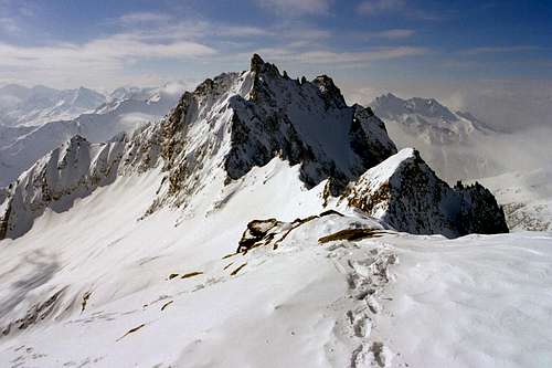
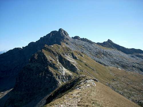
 Val Bedretto N ridge by gabriele |
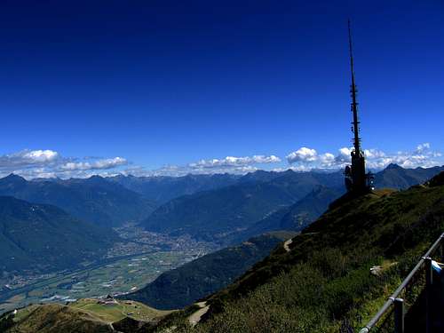
Monte Tamaro/ Monte Lema

View from Monte Tamaro towards Lago Maggiore

Monte tamaro Radio Mast
Monte Tamaro is situated in the southern part of Ticino, a few kilometers south of Locarno. A cableway brings you up to Monte Lema (1620m). Here starts an impressive route towards Monte Tamaro (1964m)
You walk over mountain ridges and have great views towards the Lago Maggiore and the Monte Rosa Group in Wallis.
For more information go to: Monte Tamaro
Entirely in the south you can find Monte Generoso, check out the SP page:
Monte generoso SP
Getting There

Getting in ticino by Car
Main access routes:
-You can access from the south (Italy): Take the A8 Highway coming from Milano
-You can access from the North: Take the '2' Highway through Switzerland to the south: After the Gotthard (pass or tunnel) you will enter Ticino.
Minor access routes:
-You can access from the west, when coming out of Wallis. Take the Nufenenpass (2450m), you will enter Ticino at Airolo in the north of the Kanton.
Note: Nufenenpass is closed in winter!
-You can enter from the east by taking the St bernard/San Bernardino Pass when coming from Graubunden.
descend the pass and you are straight on the route to Bellinzona.
-Take the Lukmanier/ Lucomagno pass. you will enter Ticino form the north-east into val di Blenio
External Links
View into val di Blenio
Main Links for ticino:
Ticino Tourism
MySwitzerland
Links for specific valleys:
Val Verzasca
Valle Maggia
Cableway Links:
Robiei
Mornera
Monte Tamaro/Lema
Monte Generoso
Camping
Campings in Ticino can be found on: Camping searchPersonal Favourite:
Camping Al Censo, Claro
Camping Al Censo
For hotels and other places to stay:
Visit the Major cities: Bellinzona, Lugano or Locarno
Hotels
Weather Forecast
Up to date weather Forecast:
CLICK!
Books about Ticino
 |  |  |
Maps (1:50.000):
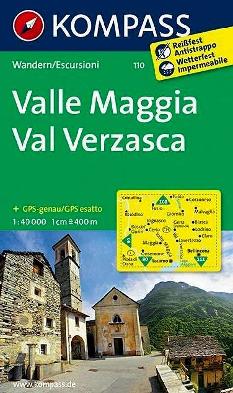
•Kompass 110: Valle Maggia & Val Verzasca (code: 9783850269100)
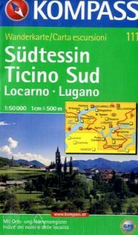
•Kompass 111: Tessin Sud; Locarno & Lugano (code: 9783854913375)
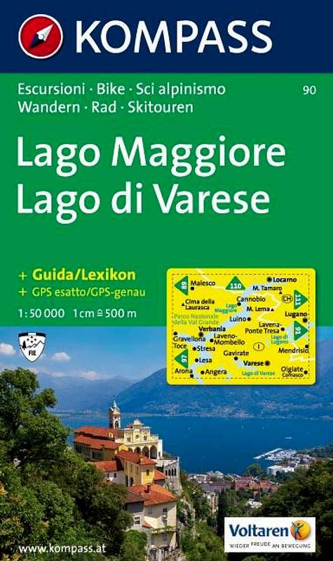
•Kompass 90: Lago Maggiore (code: 9783854910978)
 |  |
Books:
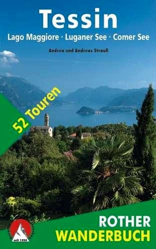
Rother – Tessin Wanderfuhrer Zwischen Gotthard und Luganer See
(EAN 9783763340781)
50 trails in Northern Tessin
Rother Tessin Wanderfuhrer Lago Maggiore Luganer See
(EAN 9783763330522)
50 trails in southern Tessin
Topo d’escalade Tessin et Mesolcina – Guida d’arrampicata – letterführer
G l a u c o C u g i n i
Editions du CAS, Berne 2006
ISBN 3-85902-253-9
A guide consisting of about 2100 routes in Ticino!