-
 9239 Hits
-
 84.82% Score
-
 19 Votes
|
|
Mountain/Rock |
|---|---|
|
|
38.09776°N / 107.53013°W |
|
|
Hinsdale |
|
|
13241 ft / 4036 m |
|
|
Overview
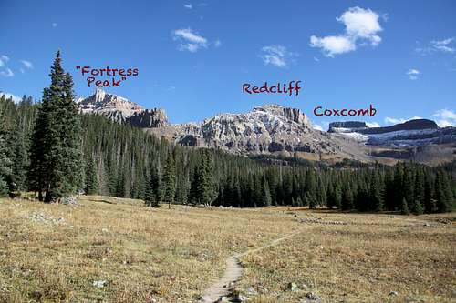
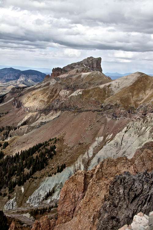
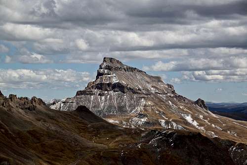
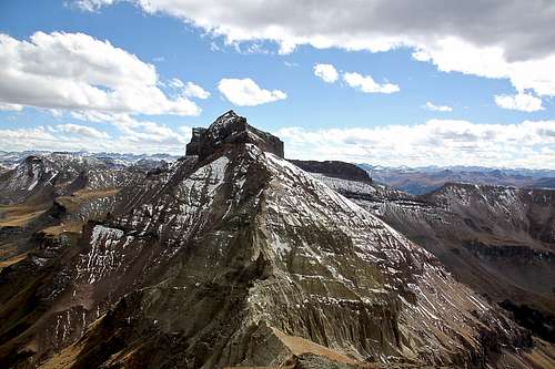
Fortress Peak is a low 13er located in the Cimarron range of the San Juan Mountains. It is mostly Class 2 hike with a very brief section of class 3 scrambling per some reports. I found my approach to be class 2. There are many 13ers located nearby, but cliffs on both sides of Fortress Peak make it impossible to combine Fortress Peak with its neighbors, either Redcliff or Precipice Peak. The rock is loose and technical climbing would be very dangerous and unprotected.
Alternate Names: "U 3"
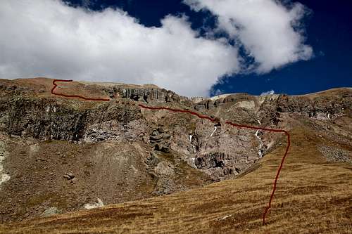
Guide to the Colorado Mountains with Robert Ormes (sort of a Bible of Colorado Mountains) briefly mentions the peak: “For Peak 13,241’ (Fortress Peak), leave the West Fork Trail about a mile from the trailhead and climb around the right - hand side of the prominent buttress to the ridge above".
Colorado Rank: 446
Wilderness: Uncompahgre
Parent Lineage: Redcliff
Nearby Peaks:
- Redcliff 0.75 miles
- Coxcomb Peak 1.24 miles
- Precipice Peak 1.50 miles
- Unnamed 13206 1.66 miles
- “Heishorn” 1.70 miles
- “El Punto” 1.75 miles
- Unnamed 13340 1.87 miles
- Matterhorn Peak 2.92 miles
- Wetterhorn Peak 2.77 miles
- Uncompahgre Peak 4.12 miles
Getting There
Trailhead : West Fork Cimarron River, elevation: 10,750 feet
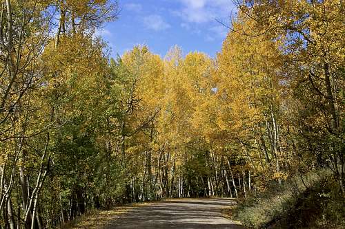
There are two ways to access the upper West Fork of the Cimarron River. One comes in off US 550 from a little north of Ridgway and the other comes in from US 50 and goes by Silver Jack Reservoir. This is a well kept graded dirt road passable by passenger vehicles. It is very popular in the autumn when aspen are changing colors.
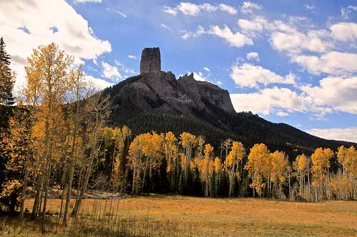
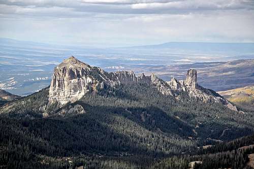
From US 550 turn east onto Country Road 10, well marked for Owl Creek Pass. Stay on CR 10, eventually you will turn onto CR 8. A little further up the valley, the road makes a sharp switchback and begins gaining elevation more seriously through open scrub oak terrain. It takes about 45 min to drive to the top of Owl Creek pass. Consider stopping at the “True Grit” meadow with nice views of Courthouse and Chimney Rock. True Grit film from 1969 with John Wayne was filmed here.
At the top of Owl Creek Pass, there’s a small, unofficial camp area on the north side of the road. Continue down east to the first turnoff you see, less than a half mile from the pass. The turn off is well marked for the West Fork of the Cimarrown (=FR 860). Drive up this usually good road that offers several possible campsites all the way to the Courthouse trailhead (about 1.7 miles from CR 8). A short distance past the trailhead, passenger cars will need to stop. The main road veers to the right and becomes much worse.
If you have 4 WD with good clearance, continue south up the road as it goes up a steep, rocky section. in 0.75 miles, it drops down a little and makes a sharp left to a ford of the West Fork. There are some good campsites here. From the stream crossing it is another 0.7 mile to the trailhead. It is the end of the road.
If coming from Gunnison by way of US 550 turn south on County Road/Forest Road 858 that goes to the Silverjack Reservoir. It's 22 miles on a graded, dirt road.


