|
|
Mountain/Rock |
|---|---|
|
|
39.99460°N / 105.6836°W |
|
|
12923 ft / 3939 m |
|
|
Jasper Peak Overview
The Indian Peaks Wilderness is home to many of the best hiking and climbing routes in the Front Range. The Indian Peak Wilderness rests just south of Rocky Mountain National Park; it's basically an extension south of its neighboring national park. As Gerry Roach notes in his popular book "It's smaller than Rocky Mountain National Park but no less spectacular."
From easy class 2 walk-ups to technical climbing this mountaineering playground has something for everybody. Only 2 hours from Denver Colorado this area is a popular destination for the day hiker; but experiencing solitude can be had for those willing to look for it.
Having experienced many of our big fourteeners and high thirteeners, I believe these peaks to be every bit rewarding. Thus, I submit Mount Jasper(12,923 ft.) to my fellow summitpost friends.
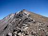
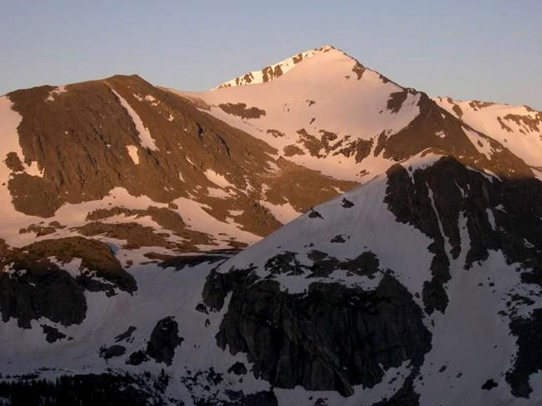
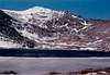
Mount Jasper is frequently viewed from the popular Arapaho Pass Trail but seldom visited. The popularity of this trail is for good reason; it escorts you to the mighty Arapaho Peaks and the views of Jasper and its east ridge are excellent. Jasper Peak's classic pyramid shape is sometimes confused with point 12,307 on its east ridge; it appears higher from the Arapaho Pass Trail because it's much closer.
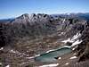
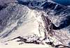
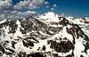
Jasper offers a variety of routes. None are considered a standard route and all are class 3. The northeast ridge and the northeast face are the shortest distance-wise, but most summit Jasper from the class 2+ connecting ridge from Mt. Neva. Jasper's tiny northeast basin is one of the more intimate locations I have been in this wilderness, complete with an emerald green lake. This basin is protected by sweeping east and northeast ridges, providing a cirque-like atmosphere. The approach to this basin includes the following; off-trail bushwhacking, frustrating scree, and steep scrambling on boulders the size of small cars. The round trip is a short 7 miles, but 5 of them you will be on your own for there is no trail. Overall vertical gain is around 2,900 ft. to 3,000 ft. There are a few variations of my submitted route description and the overall difficulty depends on current conditions. My summit of Jasper Peak on October 9th was quite challenging mostly because of conditions, two ft. of new snow from 11,300 ft. and above and gusty winds of 35 to 40 mph.

 |
 |
 |
 |
 |
Forth of July TH-
Go north or south on Colorado 119 to the neat little town of Nederland. Traveling north on 119, turn left at the Eldora turnoff. Coming from the north, turn right at the Eldora turn-off. Go 1 mile west past the Eldora ski resort and continue 2 miles to the town of Eldora. The road turns to dirt after the town of Eldora. The road is grated in early June of every year. This road is passable for most passenger cars but I wouldn?t try it in my Toyota Camry. Continue on the road for 1.5 miles to a signed junction, turn right and continue 4.5 miles to the trailhead. The trail starts in the upper parking lot right after the Buckingham Campground. There is plenty of free parking.
Forecast for the Arapaho Peaks & Jasper Peak area
Red Tape
Here is a summery of the Indian Peak Wilderness Rules and Regulations.
- Motorized vehicles are not permitted, including bicycles.
- A permit is required for camping in the wilderness area between June 1 and Sept. 15. Permits are issued for 19 travel zones within the Indian Peak boundaries. Permits are $5.00 at the following offices. For information or to apply for a use permit, contact the U.S. Forest Service, Boulder Ranger District, 2140 Yarmouth Ave., 303-541-2500, or the Sulphur Ranger District, 9 Ten Mile Drive, P.O. Box 10, Granby, CO 80446, 1-970-887-4100. For recorded information, call the Indian Peaks Wilderness Information Line at 303-541-2519.
- Only a certain number of groups are allowed in each travel zone for overnight camping. Camping is limited to two weeks in any four-week period; the two weeks can be in any travel zone.
- Organized groups (maximum size of 12) must have permit for camping or hiking at all times.
- Campsites must be at least 100 yards from lakes and streams.
- Fires are prohibited east of the Continental Divide. Fires are allowed in certain areas west of the divide.
- Dogs must be leashed.
![]()