
-
 47519 Hits
-
 95.67% Score
-
 54 Votes
|
|
Area/Range |
|---|---|
|
|
42.07837°N / 113.70395°W |
|
|
6500 ft / 1981 m |
|
|
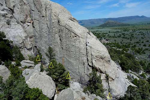
Formations Listed West to East, Click on Mountains and Rocks to the left to get the Alphabetized Order

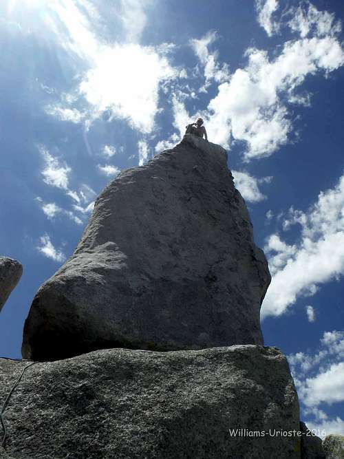
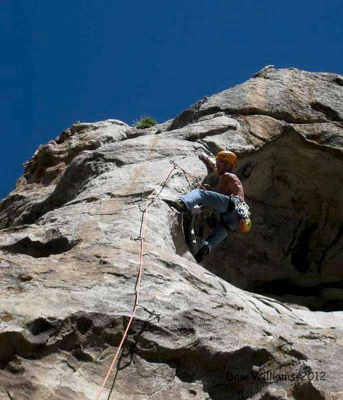
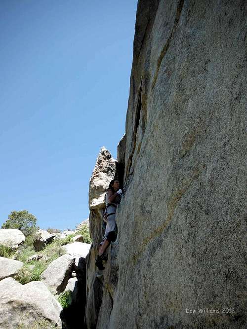
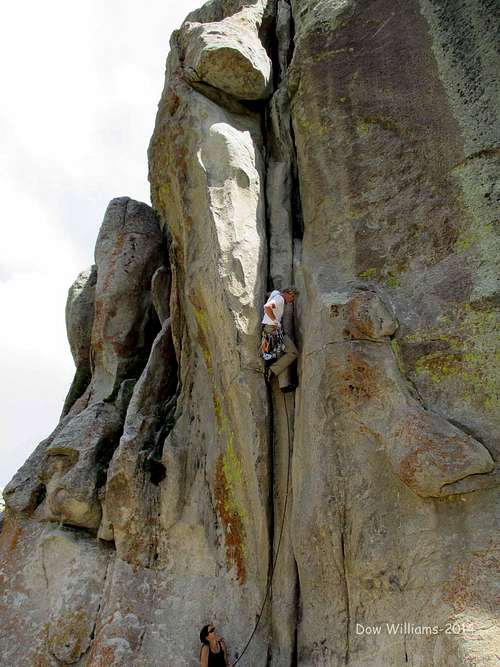
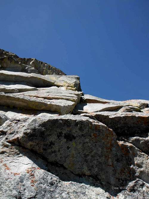
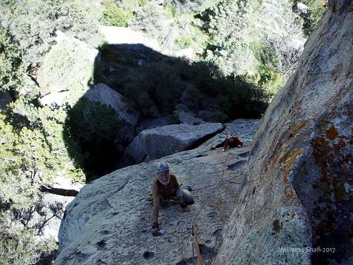
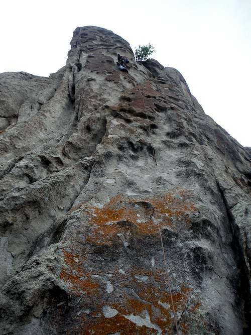
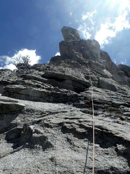
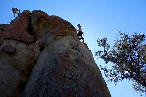
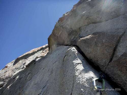
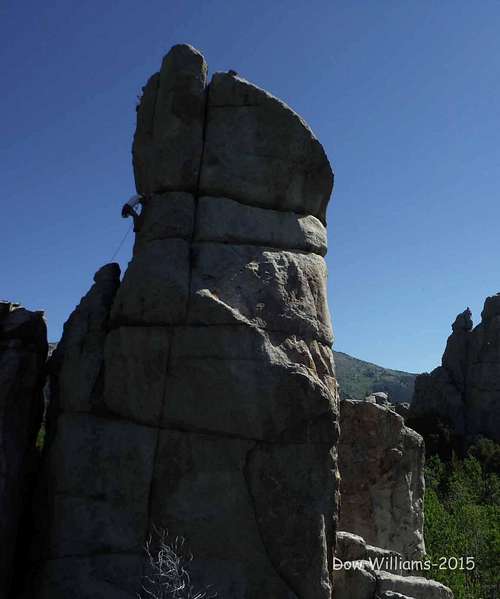
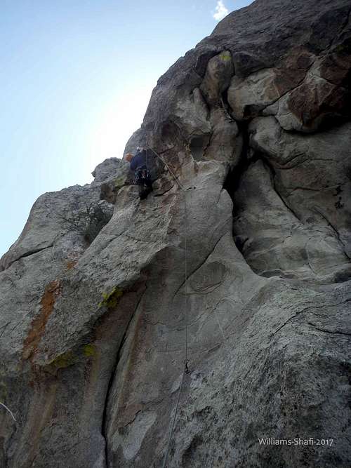
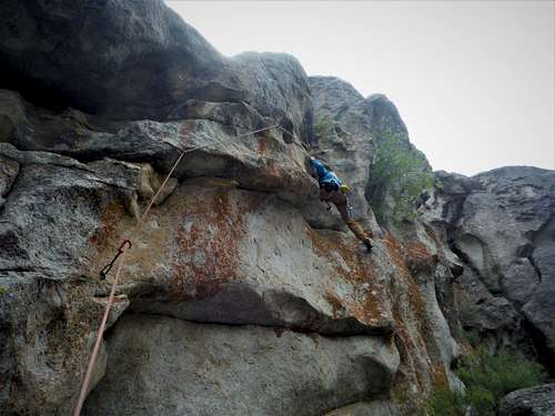
Class Crack on Bracksiecks Pillar Yielding Urioste Smiles!
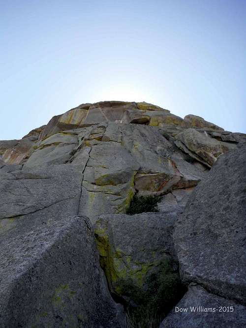
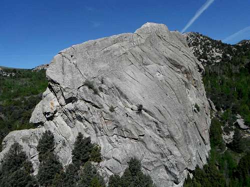
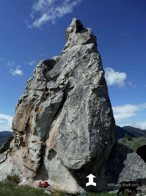
Needle Rock
Dow on the summit above the North Face
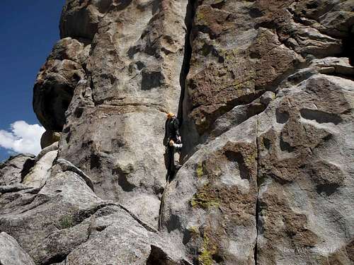
Yellow Wall
Dow leading Yellow Wall, 5.9
White Lightning
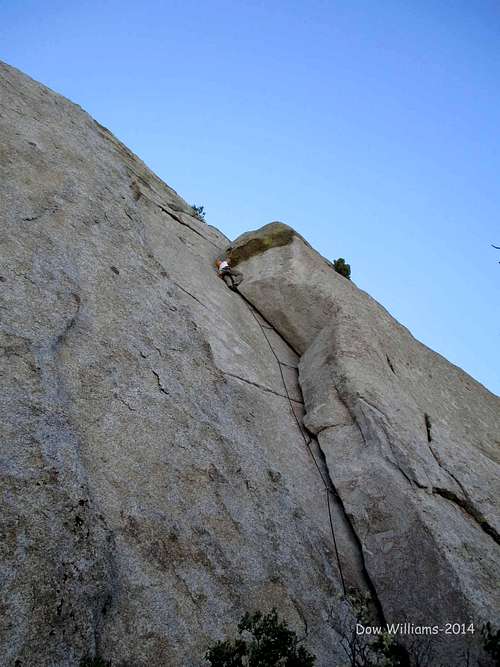
Dow leading White Lightning, 5.10a
Skinner's Roof
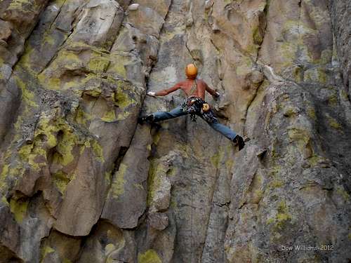
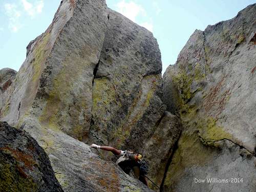
Dow Leading Margarine Fingers, 5.9
North Twin Sister
Balcony Route, 5.10, 3 Pitches
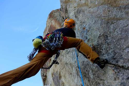
BLM Rock, West Corridor
Dow leading BLM Crack
Eagle Rock
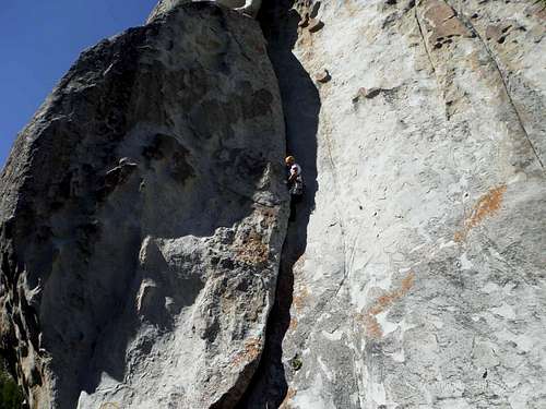
Dow leading Eagle Crack, 5.10a
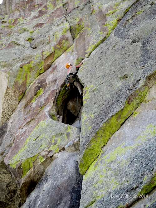
Elephant Rock

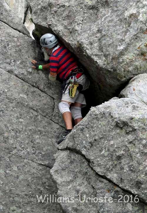
Danny Urioste on Rye Crisp
Checkered Demon
Bath Rock
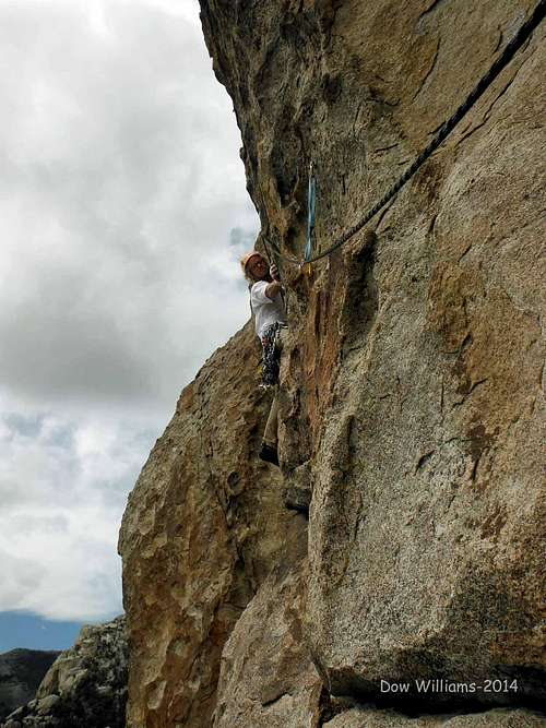
Dow leading Colossus, 5.10c
Upper and Lower Creekside
Dow leading Dire Straights(sic), 5.9
Anteater
Dow leading Holding Out for a Hero, 5.10a
Morning Gloring Spire
Dow leading Crack of Dung, 5.10a
Parking Lot Rock
Rabbit Rock North
Jorge Urioste on Roadkill
Rabbit Rock South
Animal Cracker
Joanne Urioste Climbing Animal Cracker
King on the Throne
Dow leading Double Cracks, 5.10a
Owl Rock

Super Hits/Bloody Fingers Wall
Bloody Fingers
Upper Bread Loaves Northwest
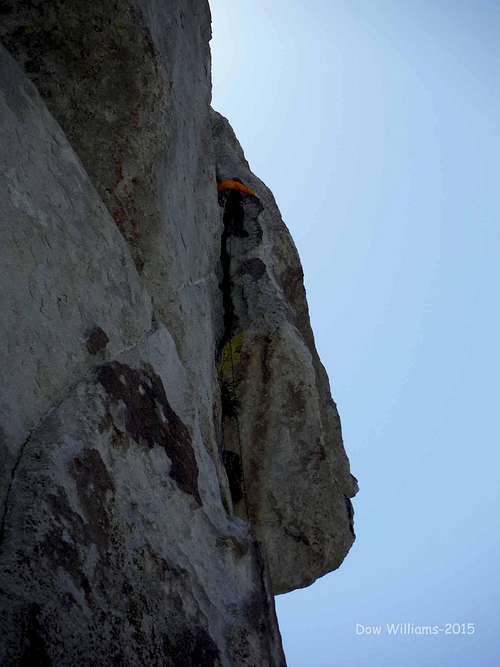
Dow leading Interceptor, 5.11a
Bread Loaves, Decadent Wall
Jorge Urioste, Bestiality,5.9
Upper Bread Loaves East
The Mall
Danny Urioste leading Masochistic Opposite, 5.10*
Finger Rock
Dow leading Outland, 5.10b
Shangri-La
Dow leading Godstopper, 5.10a
Slabbage Patch

Bumblie Wall

Transformer Corridor

Flaming Rock

Fiesta Spire

Lost Arrow Spire
Jorge Urioste climbing Original Route, 5.7***
No Start Wall
Dow leading Vertical Turtle, 5.9***
Mushroom Rock
Dow Leading North Face Right, 5.9**
Boxtop
Joanne Urioste 2nding the 2nd Pitch of Boxtop Traverse, 5.9***
Odyssey

Inner Circle
Beef Jello
Banana Crag
Jim's Jewel
Nameless Tower
Forbidden Tower

Great Wall
Stripe Rock
Bucket Land
Building Blocks

Lion's Head
Geowatt
Eviction Crag
Steinfell's Dome and Jackson's Thumb
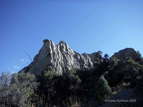
Theater of Shadows on the left, Sinocranium on the right
Castle Rock West
Jorge Urioste Living Large
Castle Rock (Shock) Buttress
Olympus Wrecks, 5.11c
Johnny Cash
Baby Beef, 5.8**
Crimson Arete
Deadwood, 5.9
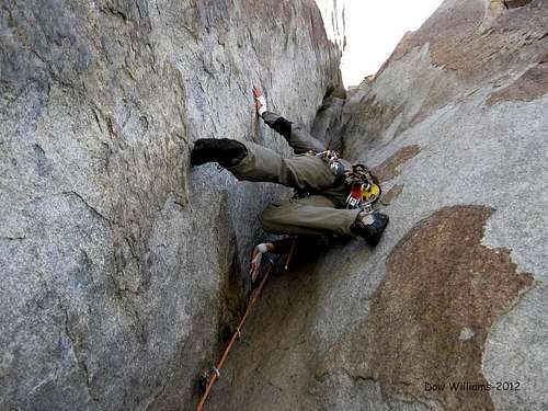
Crackhouse
Poultry Pillar
To Have and To Hold left, Opuntia right
Tiny Town

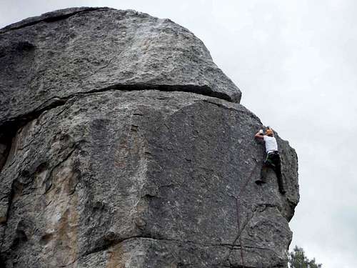
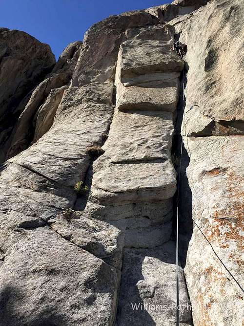
Dow Leading Tiny Town Pillar, 5.10a
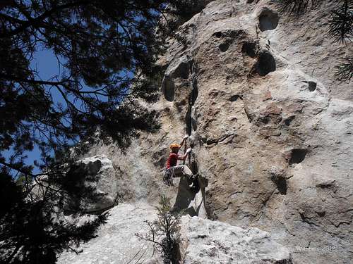
Kingpin
Dow leading Huff n Puff, 5.10c
The Foil
Dow leading It's Always Saturday, 5.9+
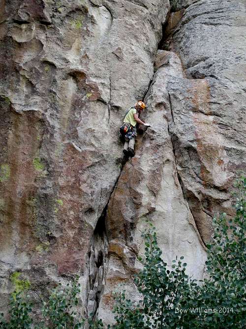
True Grit
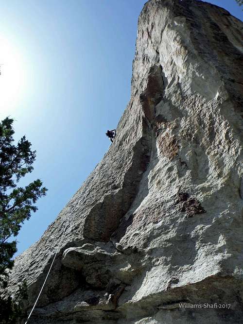
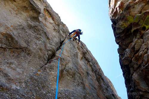
Dow leading True Grit, 5.10a***
The Duke
Dow leading Let'r Buck, 5.10b**
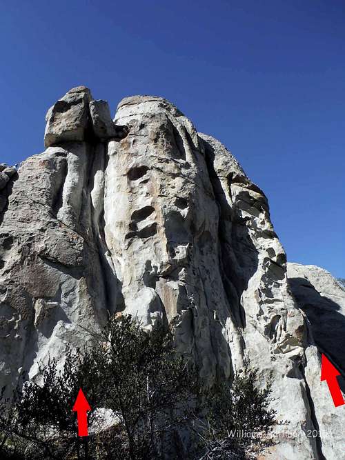
Bracksiek's Pillar
Sailor Wall
Comp Wall
Dow leading Shop and Compare, 5.10a
Comp Rock
The Taco

Dow leading Bandito, 5.11a**
Eagle Grove

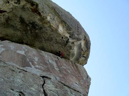
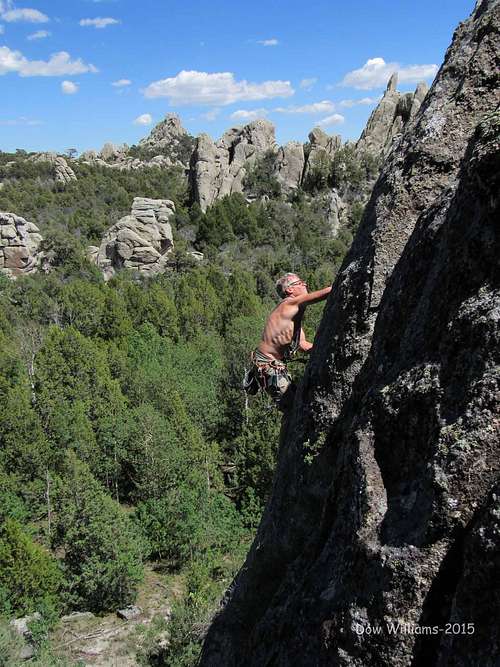
Dow leading Heal Thyself, 5.11a***
External Links