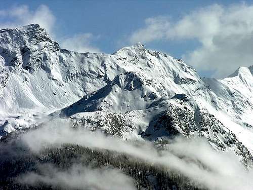
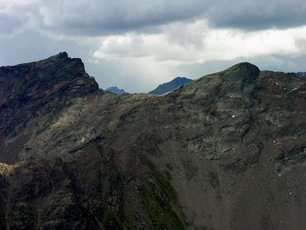
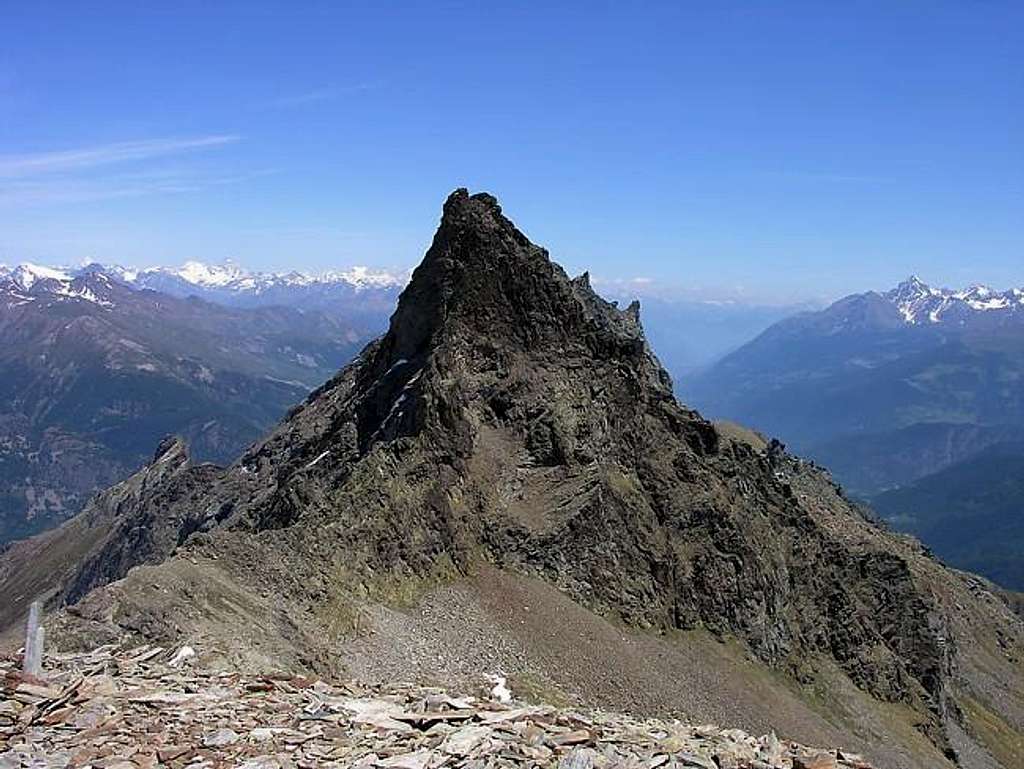
Punta de la Crosatie is a strangely shaped mountain, which shows a different look from every new viewpoint. It rises between Mont Paramont and Torre Tonda along a ridge composed of Torre Tonda (2.583m), Torre del Tighet (2.976m), Colle del Tighet (2.931m), Becca Taillà (2.983m), Colle de la Crosatie (2.838m), Punta de la Crosatie (2.933m), Colle delle Molette (2.774m), Monte Pit (2.914m), and Mont Paramont (3.301m).From the summit of Punta de la Crosatie one enjoys an exceptional 360-degree view of all the mountains of Valle d'Aosta. At the foot of the peak, across its namesake col (2.838m), goes the new trail of "Alta Via n° 2", which leads to Alpeggio di Promoud (2.016m) and, via Colle des Usellettes (or Haut Pas) to Rifugio Alberto Deffeyes (2.494m).
First Ascents
First on the summit: Unknown.
In Winter: Unknown.
Getting There
BY CAR:
From Torino, Milano, etc: Motorway A5. Exit at Aosta Ovest.
From Switzerland: through the Grand Saint Bernard Tunnel or the namesake Pass.
From France: through the Mont Blanc Tunnel or Petit Saint Bernard Pass: It is not necessary to take Motorway A5: you can drive on SS.26, in the direction of Leverogne.
BY PLANE:
Aeroporto "Corrado Gex" Saint Christophe (Aosta).
Route
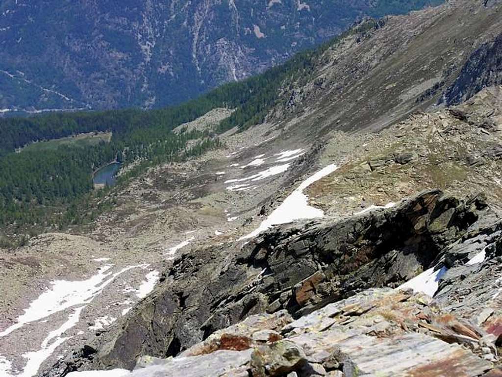
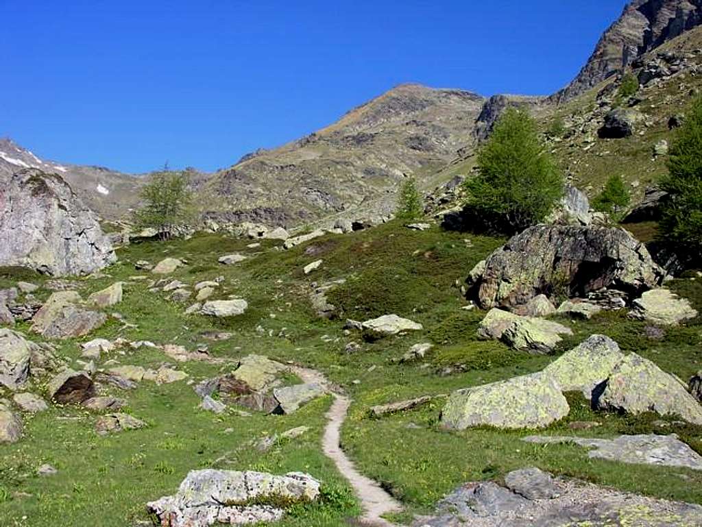
From the City of Aosta (583m) follow the SS.26 in the direction of Mont Blanc. Near the Village of Leverogne (780m) turn left on the Regional Road for Valgrisenche. Go past the Villages of Rochefort, La Ravoire, and Chamencon; then turn right for the Village of Planaval (1.557m), about 10 km from Leverogne. You can park here and continue on foot along the paved road in the direction of the Village of La Clusaz (1.631m): once out of the village, turn left after two switchbacks. But, if you are lucky, you can also park your car just in front of the start of the trail, that is clearly visible and well-marked. The ascent begins here: gain the initial, steep 500m of elevation and go past a water outlet at 2.060m to reach the first plateau. Continue along the bank of the stream that flows from the Château Blanc Glacier. Past a small wooden bridge, the trail climbs steeply for another 100m before reaching the second plateau, where another small bridge is located. Cross the bridge and aim straight for the Baracche (Huts) of Fond (2.340m, 2h'00). Keep right along the trail that leads to Lago di Fond (2.438m, 2h'10). Cross the lake outlet and follow the trail, which is again very steep, until Colle de la Crosatie (2.838m). From here follow the ridge for the last 100m, paying special attention in case of snow or wind. The ridge leads to the Summit of Punta de la Crosatie (2.933m, 4h'00 from Planaval).
Difficulty
The route is rated EE (expert hikers).
Equipment for the Route
Standard mountaineering equipment.
Campings
Remember that free camping is forbidden (except for emergency reasons, over 2.500m, from darkness until dawn).
Mountain Condition
Meteo: you can find all the needed informations at the official site of the Valle d'Aosta Region:
Parents refers to a larger category under which an object falls. For example, theAconcagua mountain page has the 'Aconcagua Group' and the 'Seven Summits' asparents and is a parent itself to many routes, photos, and Trip Reports.

 7280 Hits
 91.75% Score
 36 Votes