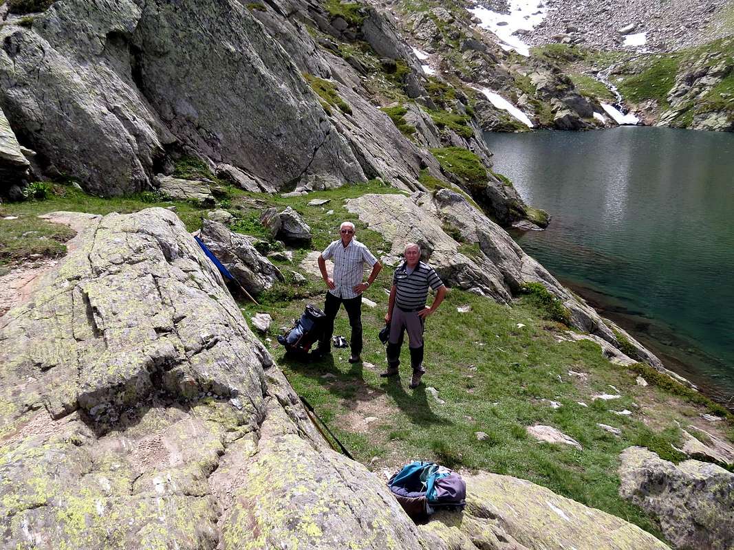
Even Valgrisenche owns "his Truc" then that means rocky promontory overlooking the valley, a lake or a mountain pasture, as well as in the adjacent valley of Rhêmes we Truc Saint Hélène (from the ancient name Tsantelèina), just above the Refuge Federico Benevolo and Fond Upper Alp and in Champorcher Valley find the Truc of the Lake above Lake, Shelter and Sanctuary Miserin. In addition to this name, it is known by a group of friends with a passion for fishing as "Punta Maurizio". This for a number of episodes sometimes tragic and sometimes comic known only to them. In fact, this grassy-rocky promontory, overlooking from the South above the Lake of Fond, is well known to visitors to the area, definitely a lot more, Crosatie Pass apart after tracing the path Alta Via n° 2, which is not the neglected top of this arid coast to the slopes of the Ridge Northeast of the magnificent Mont Paramont (3.301m). With a short descent to the Northwest by the same also you can quickly reach the same tributary of the lake, located in a small walloon-basin at the foot of Mont Pit (2.814m), idyllic place as a "salle à manger" and with good views towards Bec Taillà, Tighet or Tignet Tower and Tour Ronde to the Northeast, while in East rise Becca di Tos, Grand Revers and Becca del Merlo or Chamin, at the end of the divide between Valgrisenche and Rhêmes Valleys. Worth a visit from, in addition to fishermen, Hikers who enjoy unusual and quiet areas.
Pur la Valgrisenche possiede il "suo Truc" che poi significa promontorio roccioso dominante la valle, un lago od una alpe, così come nell'adiacente Valle di Rhêmes abbiamo il Truc Saint Hélène (dall'antico toponimo Tsantelèina), appena sopra il Rifugio Federico Benevolo e l'Alpe di Fond (ultimo alpeggio in fondo al vallone) ed in Valle di Champorcher troviamo il Truc del Lago soprastante Lago, Rifugio e Santuario del Miserin. Oltre a questo nome, è conosciuto da un gruppo di amici con la passione per la pesca come "Punta Maurizio". Ciò per tutta una serie di episodi a volte tragici ed a volte comici solo da loro conosciuti. In realtà questo promontorio erboso-roccioso, che domina da Mezzogiorno il Lac du Fond, risulta ben conosciuto dai frequentatori della zona, sicuramente molto di più, Colle della Crosatie a parte dopo la tracciatura del sentiero Alta Via n° 2, che non le neglette sommità di questa arida costiera alle pendici della Cresta Nordest del magnifico Mont Paramont (3.301 m). Con una breve discesa verso Nordovest dallo stesso inoltre si può raggiungere in breve tempo l'immissario del lago medesimo, collocato in una piccola conca ai piedi del Mont Pit (2.814 m), posto idilliaco come "salle à manger" e con buon panorama verso Bec Taillà, Torre del Tighet o Tignet e Tour Ronde verso Nordest, mentre a Levante si elevano Becca di Tos, Grand Revers e Becca del Merlo o di Chamin, al termine dello spartiacque tra Valgrisenche e Valle di Rhêmes. Merita una visita da parte, oltre ai pescatori, degli Escursionisti che amano zone inusuali e tranquille.
First Ascents
First on the summit: Unknown.
In winter: Unknown.
Getting There
BY CAR:
From Torino, Milano, etc: Motorway A5. Exit in Morgex.
From Switzerland: through the Grand St. Bernard Tunnel or the homonym Pass.
From France: through Mont Blanc Tunnel or Petit St. Bernard Pass.
BY PLANE:
Aeroporto "Corrado Gex" Saint Christophe (Aosta).
Road Itinerary
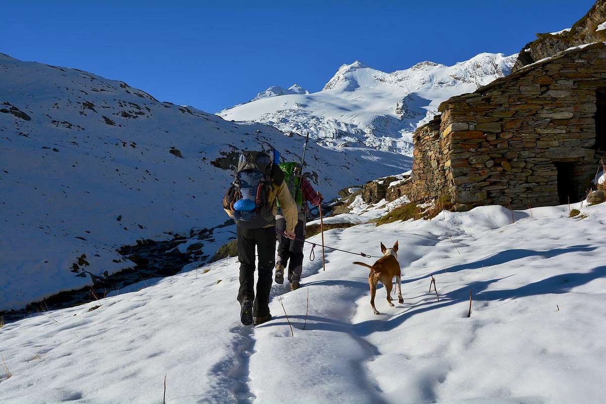
From the City of Aosta (583m) follow the SS.26 in the direction of Courmayeur renowned Resort. Near the Village of Leverogne (780m) turn left on the Regional Road for Valgrisenche. Go past the little Villages of Rochefort, La Ravoire, and Chamencon; then turn right (West) for the Village of Planaval (1.557m), about 10 km from Leverogne. From this last, through the Regional Road, you can park here and continue on foot along the paved road in the direction of the Village of La Clusaz (1.631m). From this point, leaving right (North), the same that goes to the next Village of Baulin or Baulen in the direction Monte Colombo, directed to the left to enter the real Fond Walloon; this is characterized by its pastures that stretch from East to West fed by the glaciers of Group Rutor, such that they become, through various torrents, prosperous and green.
Dalla città di Aosta (583 m) si percorre la SS.26 per il rinomato comprensorio di Courmayeur e, giunti nei pressi dell'abitato di Leverogne (780 m), s'imbocca sulla sinistra la Strada Regionale per la Valgrisenche. Dopo aver superato le piccole Frazioni di Rochefort, La Ravoire, e percorso una decina di chilometri svoltare a destra (Ovest) verso la Frazione di Planaval (1.580 m). Da Planaval, tramite la Strada Regionale, raggiungere il Villaggio di La Clusaz (1.628 m). Da questo punto, lasciando a destra (Nord) la medesima strada che sale verso il successivo Villaggio di Baulin o Baulen in direzione del Monte Colombo, indirizzarsi a sinistra per entrare nel vero e proprio Vallone del Fond; questo é caratterizzato dai suoi pascoli che si allungano da Est verso Ovest alimentati dai ghiacciai del Gruppo del Rutor, tali da farli diventare, tramite vari torrenti, floridi e verdeggianti.
Approach
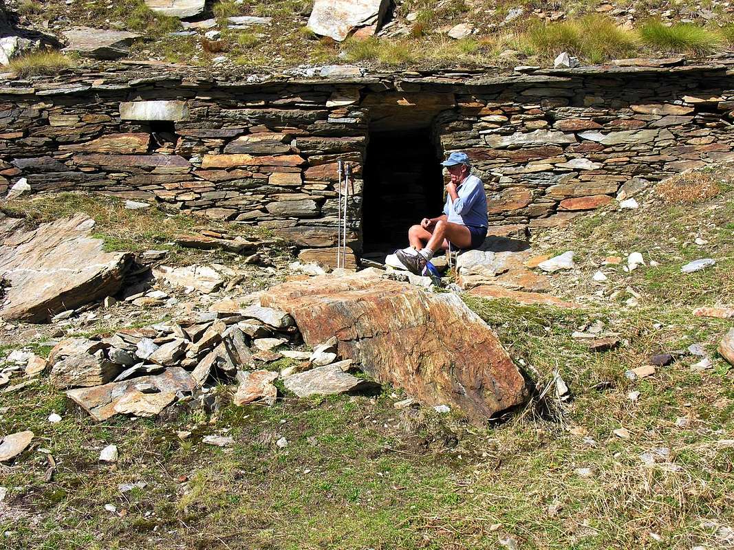
At the first bend in the shape of elbow immediately after the village started with the path n° 21/Alta Via n° 2 (yellow signs), leaving on the right the road continues towards the Hamlet Baule(i)n (1.769m); proceeding with West-northwest direction with a long diagonal, followed by a series of narrow and small hairpin bends, get near the Torrent of Planaval at an altitude of about 2.150 meters. Walk along its shore hydrographic left (North), leaving on the left, beyond the Torrent du Fond, the Alpage of Glacier (2.162m) and on the right path n° 20b which goes to the Torre Tonda Pass. Continue in parallel with the torrent and then move away temporarily from the same, when it meets to Torrent de l'Orfeuille. Immediately after crossing it twice before returning to skirt the Northern shore with West-northwest direction first and then definitely in the Southwest towards the "Montagna Alpeggio" known as the Baracche di Fond (2.337/8m) under the lake with the same name (2.438m).
Al primo tornante con forma a gomito subito successivo all'abitato iniziare con il sentiero n° 21/Alta via n° 2 (segnalazioni in giallo), lasciando sulla destra la strada che continua verso il Villaggio di Baule(i)n (1.769 m); procedendo con direzione Ovest-nordovest con un lungo diagonale, seguito da una serie di stretti tornantini, arrivare nei pressi del Torrent di Planaval a quota 2.150 metri circa. Costeggiare la sua sponda idrografica sinistra (Nord), lasciando sulla sinistra, oltre il Torrent du Fond, l'Alpe di Glacier (2.162 m) e sulla destra il sentiero n° 20b che si dirige verso il Colle della Torre Tonda. Proseguire in parallelo con il torrente per poi allontanarsi momentaneamente dallo stesso, quando questo si riunisce al Torrent de l'Orfeuille. Subito dopo attraversarlo due volte per poi ritornare a fiancheggiare la sponda Settentrionale con direzione prima Ovest-nordovest ed in seguito decisamente a Sudovest verso la "Montagna Alpeggio" conosciuta come le Baracche di Fond (2.337/8 m), sotto al Lago omonimo (2.438 m).
Route
From the Baracche di Fond, immediately behind the Northeast, the path starts Alta Via n° 2, rising to Crosatie Pass (2.826m) passing the first to Lake of Fond (2.438 m). Climb just to the West-southwest, and after a hairpin bend at an acute angle, change in direction North-Northeast; and bypassed a source and crossing through the effluent will soon reach the clear and deep lake lies in a basin pleasant (0h'30). Abandoning the path that leads North to the Hill of the Mollette also Paramont Pass (2.774m) and the other neighbor of the Crosatie for easy grassy slopes with tracks and around a couple of rocky plates polished, in a short time you can reach the Summit of the "Truc du Lac du Fond" or point of 2.496 meters above sea level, also nicknamed "Punta Maurizio" (0h'10, in total 2h'00/2h'30 from the start).
Dalle Baracche del Fond, subito dietro a Nordest, parte il sentiero Alta Via n° 2, che sale al Colle della Crosatie (2826 m) transitando dapprima per il Lac du Fond (2.438 m). Salire dapprima verso Ovest-sudovest e, dopo un tornante ad angolo acuto, cambiare direzionalità in Nord-nordest; oltrepassata una sorgente ed attraversato l'emissario in breve si raggiunge il limpido e profondo lago adagiato in una conca amena (0h'30). Abbandonando a Nord il sentiero che sale al Colle delle Mollette o del Paramont (2.774 m) ed all'altro vicino della Crosatie, per facili pendii erbosi con tracce ed aggirando alcune placche rocciose levigate, in breve tempo si raggiunge la Sommità del "Truc du Lac du Fond" o Punto di altitudine 2.496 metri, soprannominato anche "Punta Maurizio" (0h'10; in totale 2h'00/2h'30 dalla partenza).
Difficulty
This route can be considered E.
L'itinerario è classificato E.
Essential Gear
Hiking gear.
Da escursionismo.
Campings
Remember that free camping is forbidden (except for emergency reasons, over 2.500m, from darkness until dawn).
Mountain Conditions
You can get meteo information at the official site of the Regione Valle d'Aosta:
Parents refers to a larger category under which an object falls. For example, theAconcagua mountain page has the 'Aconcagua Group' and the 'Seven Summits' asparents and is a parent itself to many routes, photos, and Trip Reports.

 3187 Hits
 82.48% Score
 15 Votes